Install
Lagrange, GA 30261 Weather
Current conditions
Observed at LaGrange-Callaway Airport · 42 min ago
Forecast
10-day-
Overnight
Clear, with a low around 45. Northeast wind around 0 mph.
-
Wednesday
Sunny, with a high near 77. Northeast wind 0 to 5 mph.
-
Wednesday Night
Clear, with a low around 46. North wind around 0 mph.
National Weather Service forecast updated 3 hrs ago.
Hourly
Hourly forecast- Now46°
- 6 AM46°
- 7 AM46°
- 8 AM46°
- 9 AM48°
- 10 AM56°
- 11 AM63°
- 12 PM68°
- 1 PM72°
- 2 PM74°
- 3 PM75°
- 4 PM76°
- 5 PM75°
- 6 PM73°
- 7 PM67°
- 8 PM60°
- 9 PM58°
- 10 PM55°
- 11 PM53°
- Thu12 AM51°
- 1 AM50°
- 2 AM50°
- 3 AM49°
- 4 AM48°
10-day forecast
Details- TonightOct 20Clear45°
- TodayOct 21Sunny46°77°
- ThuOct 22Sunny45°76°
- FriOct 23Sunny44°73°
- SatOct 24Sunny43°69°
- SunOct 25Sunny43°70°
- MonOct 26Sunny44°73°
- TueOct 27Mostly Sunny76°
- WedOct 28Partly cloudy51°74°
- ThuOct 29Mostly sunny0.03 in53°73°
Days after the National Weather Service's seven are MET Norway's outlook, a computer model with no forecaster's review.
Radar
Full mapWeather news near LaGrange
More weather news-
 Fall stays in the air, especially at night and in the mornings
COLUMBUS, Ga. (WTVM) - The fall feel that arrived this weekend more or less sticks around throughout the week. The air will be dry so the afternoons will get a little warmer, but the nighttime and morning hours look…
-
 Dangerous Freeze Warnings for 38 Counties in Indiana as Temperatures Plummet
Freeze Warnings are in effect for 38 counties in Indiana from early Sunday morning, with lows as cold as 30 degrees expected. The warnings cover central, northern, east central and southeast Indiana. Three National…
-
 Gusty winds up to 35 mph Saturday, frost advisory issued for northeast Georgia Sunday
The National Weather Service issued a hazardous weather outlook for north and central Georgia for Saturday, with a frost alert for the northeast portion of the state. Weather reports can be packed with unfamiliar terms…
-
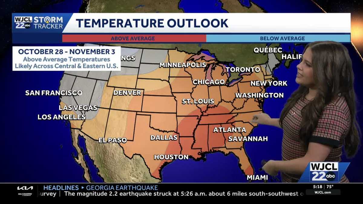 Comfortable conditions continue across Southeast Georgia and the Lowcountry
WJCL A look at the chilly mornings ahead and nice afternoon highs Temperatures drop overnight Tuesday into Wednesday with lows Wednesday morning in the 40s and 50s across Southeast Georgia and the Lowcountry. Have a…
-
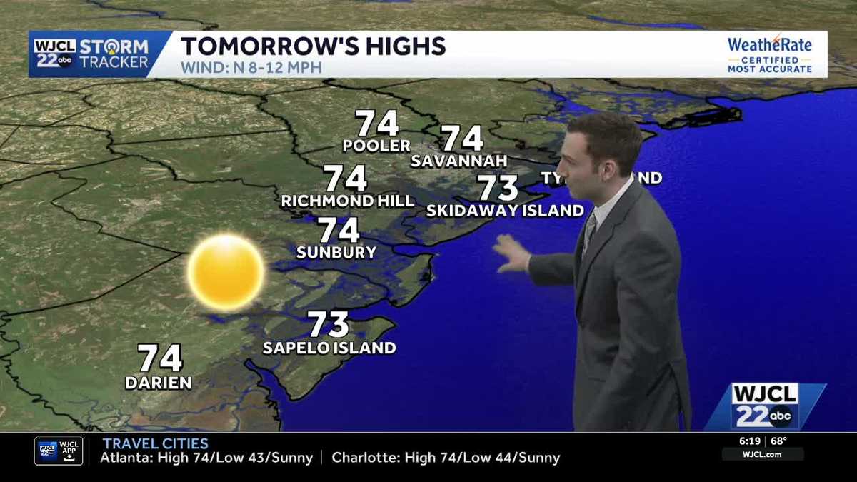 Sunshine stays in the forecast for Southeast Georgia & the Lowcountry this week
WJCL Tuesday morning will feature a clear & cold start with lows in the 40s across Southeast Georgia & the Lowcountry Similar to the start of the work week, there will be plenty of sunshine during the day, but a light…
-
 🔥 High fire danger today in Cobb County and North Georgia
Relative humidity could fall to 30% or lower for at least four hours, with northeast winds of 5 to 10 mph. Dry vegetation and low humidity will increase the risk of fires spreading. Residents should check with local…
-
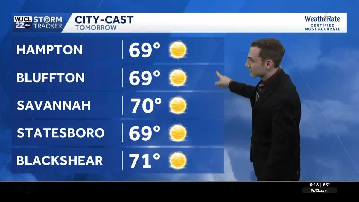 Chilly mornings & pleasant afternoons continue across Southeast Georgia & the Lowcountry this week
WJCL Monday will feature another chilly start as you head out the door with lows in the upper 40 - low 50s & a light northeasterly breeze to go along, so make sure to grab a jacket. There is still a lot of dry air in…
-
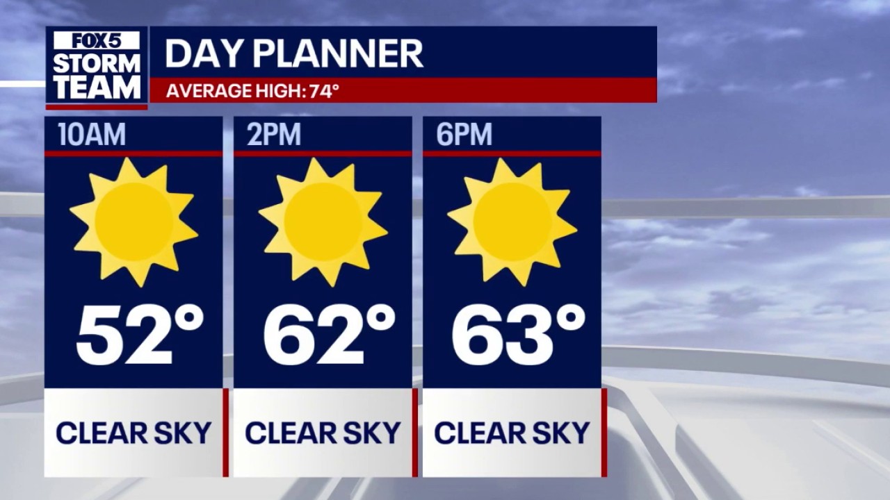 Crisp fall weather & 70s warming trend for North Georgia
FOX 5 Atlanta Lows dipped into the 30s across mountain communities and North Georgia overnight, with Atlanta starting near 50 degrees accompanied by 18 mph northeasterly winds. Daytime highs remain below seasonal…
-
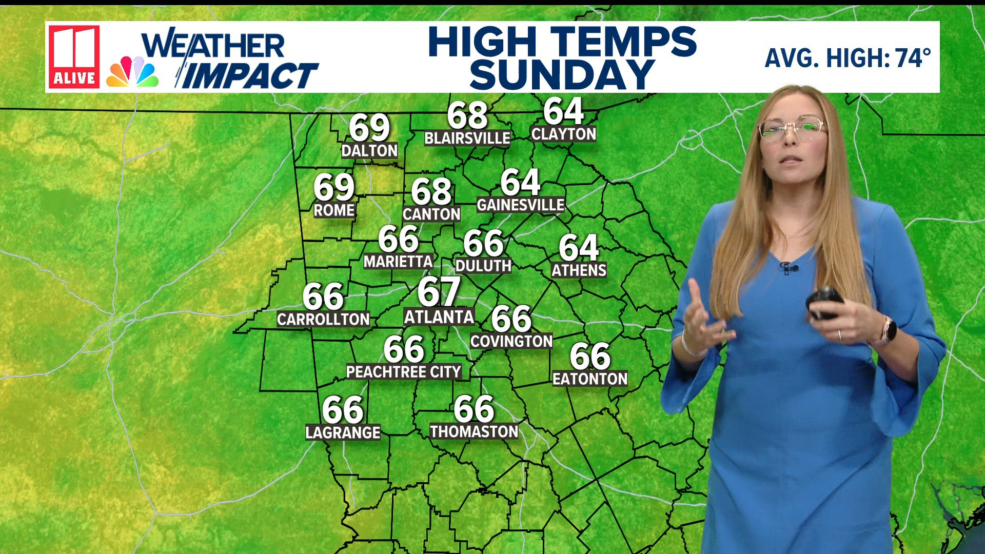 Weather forecast: cold and breezy across North Georgia
11Alive.com Weather forecast: cold and breezy across North Georgia To stream 11Alive on your phone, you need the 11Alive app. Download the 11Alive app Next up in 5 Example video title will go here for this video Before…
-
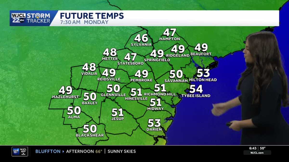 Comfortable and dry week ahead for Southeast Georgia and the Lowcountry
A look at the forecast and the cool morning lows that stick around Some of the coolest air of the season so far for Southeast Georgia and the Lowcountry Sunday morning as temperatures dropped into the 40s and 50s. While…
Air quality
Air quality is satisfactory, and air pollution poses little or no risk.
Forecast
- WedGood (50)
Columbus-Phenix City - GA and AL, GA reporting area · 57 min ago. Data from AirNow (EPA and its state, local and tribal partners); preliminary and subject to change.
Sun & moon
Nearby
- Newnan 44 km
- Peachtree City 57 km
- Opelika 54 km
- Carrollton 59 km
- Valley 28 km
- Lanett 24 km
- Roanoke 32 km
- Smiths Station 56 km
- Manchester 45 km
- Senoia 54 km
- West Point 22 km
- Grantville 29 km
Forecasters' discussion
From the National Weather Service office in FFC, issued 2 hrs ago
Key Messages
- Elevated fire danger is likely the next several afternoons for portions of the area due to low relative humidity.
- Dry conditions and pleasant temperatures will persist for the next 7 days with a slight cooldown over the weekend.
Short Term
(Today through Thursday) Issued at 336 AM EDT Wed Oct 21 2026
Conditions remain very dry across north and central GA. A wave break over the coming days will transition upper level flow from the NW to the NE, generally having little to no impact on moisture or precipitation chances. PWATs will remain near the climatological 10th percentile, meaning precipitation chances will remain near zero.
Temperatures during the day will continue the slight upswing. Highs will likely reach the mid to upper 70s by Thursday for most. With little in the way of increased moisture, this likely means we will continue to see RH values fall to below 25% for much of the area each afternoon. Elevated fire danger to continue.
Lows each day will continue to be in the low 40s for most, though we could continue to see upper 30s for the northern portions of the CWA.
Long Term
(Thursday night through Tuesday) Issued at 336 AM EDT Wed Oct 21 2026
On the whole, the long-term forecast period will remain uneventful. Dry weather will persist from the weekend into at least the first half of next week.
The only feature of much interest will be a backdoor cold front that will arrive Friday and provide a shot of cooler air for the weekend as a surface high settles across the Northeast and Mid-Atlantic. High temperatures will drop back toward the 60s/low 70s over the weekend with lows nudging into the lower to mid 40s for most by Sunday. Temperatures then likely begin a gradual rebound thereafter as the surface high settles southward.
Aviation
(00Z TAFS) Issued at 723 PM EDT Tue Oct 20 2026
VFR through the period with SKC outside of a few high clouds. Winds light and variable for most of the area. At ATL, winds out of the NE continue through Wed aftn before turning out of the NW Wed evening.
//ATL Confidence...00Z Update...
High on all elements.
Culver
Forecasts, observations and alerts in the United States come from the National Weather Service (NOAA); radar from NOAA's Multi-Radar Multi-Sensor system; satellite imagery from NASA's Global Imagery Browse Services (GIBS) and NOAA's GOES satellites; the map from the U.S. Geological Survey's National Map; air quality from AirNow (EPA and its partners); hurricane information from the National Hurricane Center; climate normals and records from NOAA's Regional Climate Centers (ACIS). Forecasts outside the United States and the UV index: MET Norway (CC BY 4.0); observations outside the U.S.: airport reports via NOAA's Aviation Weather Center. Place names: GeoNames (CC BY 4.0). Data are copied on a schedule and may lag the sources; for warnings that affect your safety, follow your local National Weather Service office and emergency officials. Weather news is drawn from the 4Conservative index and reflects what the press published. Terms of use.