Install
Hendersonville, NC 28739 Weather
Current conditions
Forecast for this hour (no station report in the last two hours)
Forecast
10-day-
Today
Sunny, with a high near 68. North northwest wind around 9 mph.
-
Tonight
Patchy fog after 5am. Clear, with a low around 40. North northwest wind 2 to 8 mph.
-
Friday
Patchy fog before 9am. Sunny, with a high near 63. North northeast wind 2 to 6 mph.
National Weather Service forecast updated 4 hrs ago.
Hourly
Hourly forecast- Now50°
- 11 AM56°
- 12 PM61°
- 1 PM65°
- 2 PM67°
- 3 PM68°
- 4 PM68°
- 5 PM67°
- 6 PM64°
- 7 PM61°
- 8 PM55°
- 9 PM52°
- 10 PM50°
- 11 PM49°
- Fri12 AM48°
- 1 AM46°
- 2 AM45°
- 3 AM43°
- 4 AM42°
- 5 AM41°
- 6 AM40°
- 7 AM40°
- 8 AM40°
- 9 AM42°
10-day forecast
Details- TodayOct 22Sunny40°68°
- FriOct 23Patchy Fog then Sunny41°63°
- SatOct 24Sunny37°60°
- SunOct 25Sunny37°61°
- MonOct 26Sunny39°66°
- TueOct 27Sunny43°69°
- WedOct 28Mostly Sunny41°67°
- ThuOct 29Partly cloudy49°67°
- FriOct 30Sunny45°66°
- SatOct 31Partly cloudy42°59°
Days after the National Weather Service's seven are MET Norway's outlook, a computer model with no forecaster's review.
Radar
Full mapWeather news near Hendersonville
More weather news- Cold snap forecast for Western North Carolina. Could there be frost?
Fall is underway in Western North Carolina, and temperatures low enough to produce areas of frost are forecast this weekend throughout the region. The National Oceanic and Atmospheric Administration explains that, while…
-
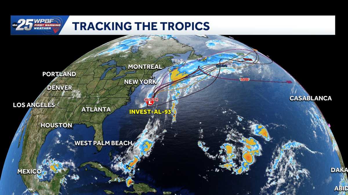 Low pressure off North Carolina could briefly turn subtropical while sending rough surf up the East Coast
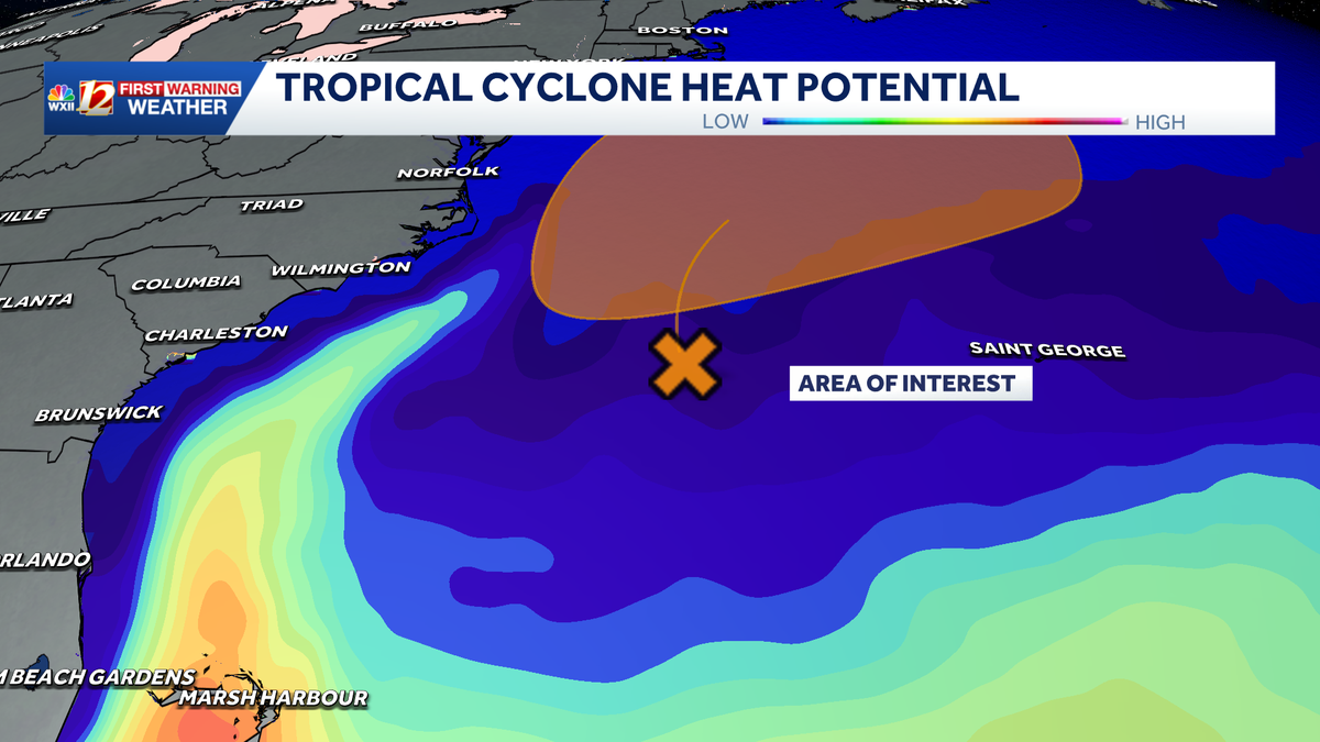
A storm-force non-tropical low-pressure system located a few hundred miles off the North Carolina coast is producing shower and thunderstorm activity primarily west of its center. According to the National Hurricane…
-
-
 Sunny and seasonably cool weather across North Carolina this week
WXII Cold mornings will lead to seasonable, sunny afternoons in North Carolina this week Dress for 30s and 40s in the mornings Sunny weather will warm temperatures into the 60s and 70s in the afternoons Dry weather will…
-
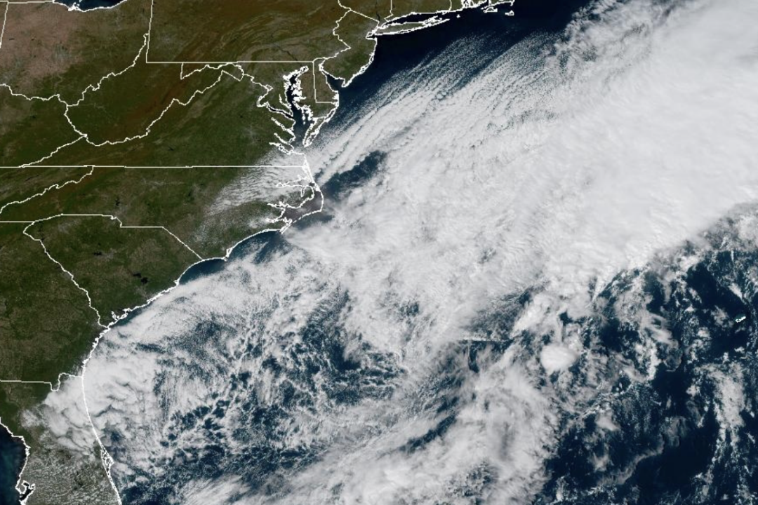 Weather System Off North Carolina Could Become Nor’Easter or Tropical Storm: What to Know
The National Weather Service and its National Hurricane Center are tracking a storm system sitting off the coast of North Carolina that has the opportunity to become either a proper Nor’easter or a Tropical Storm and is…
-
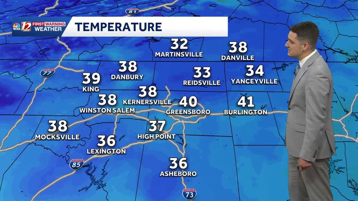 Cold Sunday morning in North Carolina, beautiful fall weather this week
WXII Cold Sunday morning in North Carolina, beautiful fall weather this week Meteorologist Dylan Hudler has your Sunday forecast Brrrr! Cold fall air is here! Sunday morning is the first time in the 30s for many…
-
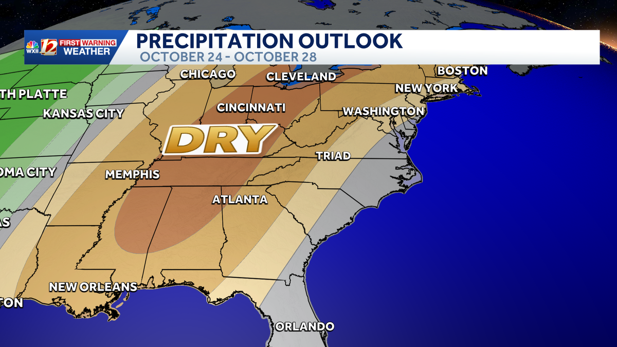 Seasonable highs ahead for the workweek in North Carolina | Cold mornings, tracking a coastal low
A dry pattern is developing for the coming workweek. Mostly sunny days will become seasonable through midweek, with highs in the 70s. A powerful cold front brought in a much colder air mass this weekend, but after two…
- UPDATE: Frost advisory for Western North Carolina for Sunday, says the NWS
On Saturday at 9 p.m. the NWS Greenville-Spartanburg SC released an updated frost advisory valid for Sunday between 1 a.m. and 9 a.m. The advisory is for Caldwell Mountains, Greater Caldwell, Burke Mountains, Greater…
-
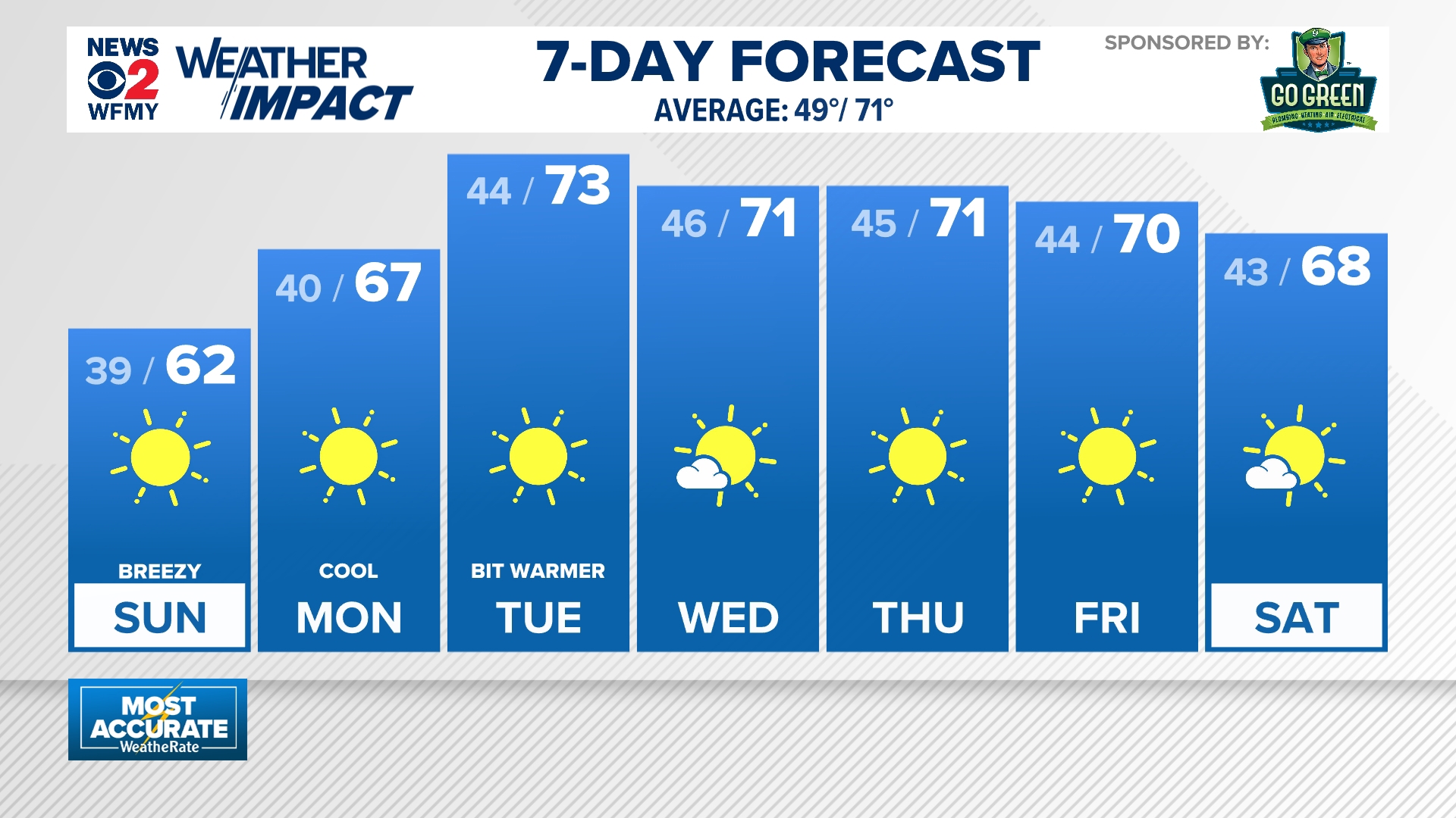 Cold mornings ahead for North Carolina
wfmynews2.com Cold mornings ahead for North Carolina To stream WFMY News 2 on your phone, you need the WFMY News 2 app. Download the WFMY News 2 app Next up in 5 Example video title will go here for this video Before…
-
 NWS: Snow spotted in North Carolina
FOX Carolina News NWS: Snow spotted in North Carolina Dabo Swinney's opening statement after Clemson shuts out Charleston Southern 37-0 Deputies search for missing, endangered woman with dementia last seen in…
Air quality
Forecast
- ThuGood (42)
- FriGood (40)
- SatGood (38)
Henderson County, NC reporting area. Data from AirNow (EPA and its state, local and tribal partners); preliminary and subject to change.
Sun & moon
Almanac
MonthlyAsheville Area, records since 1876. Normals 1991–2020. Data from NOAA's Regional Climate Centers (ACIS).
Nearby
- Asheville 32 km
- Greenville 53 km
- Greer 49 km
- Taylors 48 km
- Easley 55 km
- Wade Hampton 49 km
- Berea 48 km
- Gantt 58 km
- Parker 52 km
- Waynesville 48 km
- Black Mountain 37 km
- Boiling Springs 56 km
Forecasters' discussion
From the National Weather Service office in GSP, issued 4 hrs ago
What Has Changed
Aviation discussion updated for the upcoming 12z TAF issuance.
Key Messages
1. Relative humidity will likely drop down to around 25 percent across parts of northeast Georgia again this afternoon, leading to increased fire danger in some locations. 2. Dry high pressure persists through early next week. Temperatures will fall below normal beginning Friday, then steadily return to normal through next week.
Discussion
Key message 1: Relative humidity will likely drop down to around 25 percent across parts of northeast Georgia again this afternoon, leading to increased fire danger in some locations.
The upper pattern will remain blocky and high-amplitude again today and tonight, but fortunately we are in the fair weather part of the block with high pressure ridging down from the Great Lakes and Ontario, giving us clear blue sky and near normal temperatures. Guidance suggests the dewpoint will mix out a bit more than yesterday, so some of the lower dewpoint solutions from the CAMs were mixed into the NBM. Forecast soundings from the western Upstate and northeast Georgia show the mixing potential, so we have undercut the NBM once again. That should put the min RH down to the middle 20s in percent this afternoon. The HREF shows that patches of RH below 25 percent in northeast Georgia will be likely. That would warrant issuing another Fire Danger Statement in spite of yesterday's not meeting with expectations. Fortunately, wind will remain light.
Key message 2: Dry high pressure persists through early next week. Temperatures will fall below normal beginning Friday, then steadily return to normal through next week.
The upper level blocking pattern will persist through the weekend, but will finally break down early next week. In the mean time, a subtle slow eastward shift in the upper ridge axis will move the aforementioned sfc high across Quebec to New England and the northern Mid-Atlantic from Friday into Saturday. This should put the sfc high in the perfect spot for a dry cold air damming wedge to develop late Friday and Friday night, and then persist through the better part of the weekend. A new upper low offshore by Sunday is not expected to affect the western Carolinas. As a result, temps will drop down to about a category below normal for Friday as the wedge starts to form late in the day, and will stay 5-10 degrees below normal for Saturday even with nearly full sun. The coolest night should be Saturday night, with lows down into the mid-30s in the mtn valleys, thus cool enough for some good frost potential, with a small chance for frost extending out over the northern foothills.
The pattern deamplifies and becomes progressive on Monday, but the remnant dry high pressure air mass should linger into the middle of the week with temps gradually moderating back to normal. Could the next system approach next Thursday? The GFS looks over-excited with a compact mid/upper low moving across the mtns late in the day, so it was treated with benign neglect for the time being. Temps should hang around normal through the first half of next week.
Aviation
At KCLT and elsewhere: VFR conditions expected thru the period, except for some patchy mountain valley fog and fog around some of the larger lakes. Could see some fog affect KHKY, but the probability is too low to include any restrictions. Will update if fog does end up wafting over KHKY after the AFD has been sent. Mostly light NW to NE winds are expected thru of the period. KAVL will see a slight uptick in winds this aftn, and could have a few low-end gusts.
Outlook: Dry, VFR conditions persist through the remainder of the week and into the weekend. Mountain valley fog and low stratus will be possible each morning.
Forecasts, observations and alerts in the United States come from the National Weather Service (NOAA); radar from NOAA's Multi-Radar Multi-Sensor system; satellite imagery from NASA's Global Imagery Browse Services (GIBS) and NOAA's GOES satellites; the map from the U.S. Geological Survey's National Map; air quality from AirNow (EPA and its partners); hurricane information from the National Hurricane Center; climate normals and records from NOAA's Regional Climate Centers (ACIS). Forecasts outside the United States and the UV index: MET Norway (CC BY 4.0); observations outside the U.S.: airport reports via NOAA's Aviation Weather Center. Place names: GeoNames (CC BY 4.0). Data are copied on a schedule and may lag the sources; for warnings that affect your safety, follow your local National Weather Service office and emergency officials. Weather news is drawn from the 4Conservative index and reflects what the press published. Terms of use.