Install
Statesville, NC 28677 Weather
Current conditions
Forecast for this hour (no station report in the last two hours)
Forecast
10-day-
Monday
Sunny, with a high near 69.
-
Monday Night
Mostly clear, with a low around 41.
-
Tuesday
Sunny, with a high near 72.
National Weather Service forecast updated 4 days ago.
Hourly
Hourly forecast- Now69°
- 4 PM69°
- 5 PM68°
- 6 PM66°
- 7 PM62°
- 8 PM58°
- 9 PM54°
- 10 PM51°
- 11 PM49°
- Tue12 AM47°
- 1 AM46°
- 2 AM45°
- 3 AM44°
- 4 AM44°
- 5 AM43°
- 6 AM42°
- 7 AM41°
- 8 AM42°
- 9 AM47°
- 10 AM54°
- 11 AM60°
- 12 PM64°
- 1 PM68°
- 2 PM70°
10-day forecast
Details- ThuOct 22Sunny41°72°
- FriOct 23Sunny42°68°
- SatOct 24Sunny40°63°
- SunOct 25Sunny40°66°
- TodayOct 26Sunny41°69°
- TueOct 27Sunny45°72°
- WedOct 28Mostly Sunny46°71°
- ThuOct 29Cloudy49°68°
- FriOct 30Mostly sunny52°74°
- SatOct 31Mostly sunny53°75°
Days after the National Weather Service's seven are MET Norway's outlook, a computer model with no forecaster's review.
Radar
Full mapWeather news in North Carolina
More weather news-
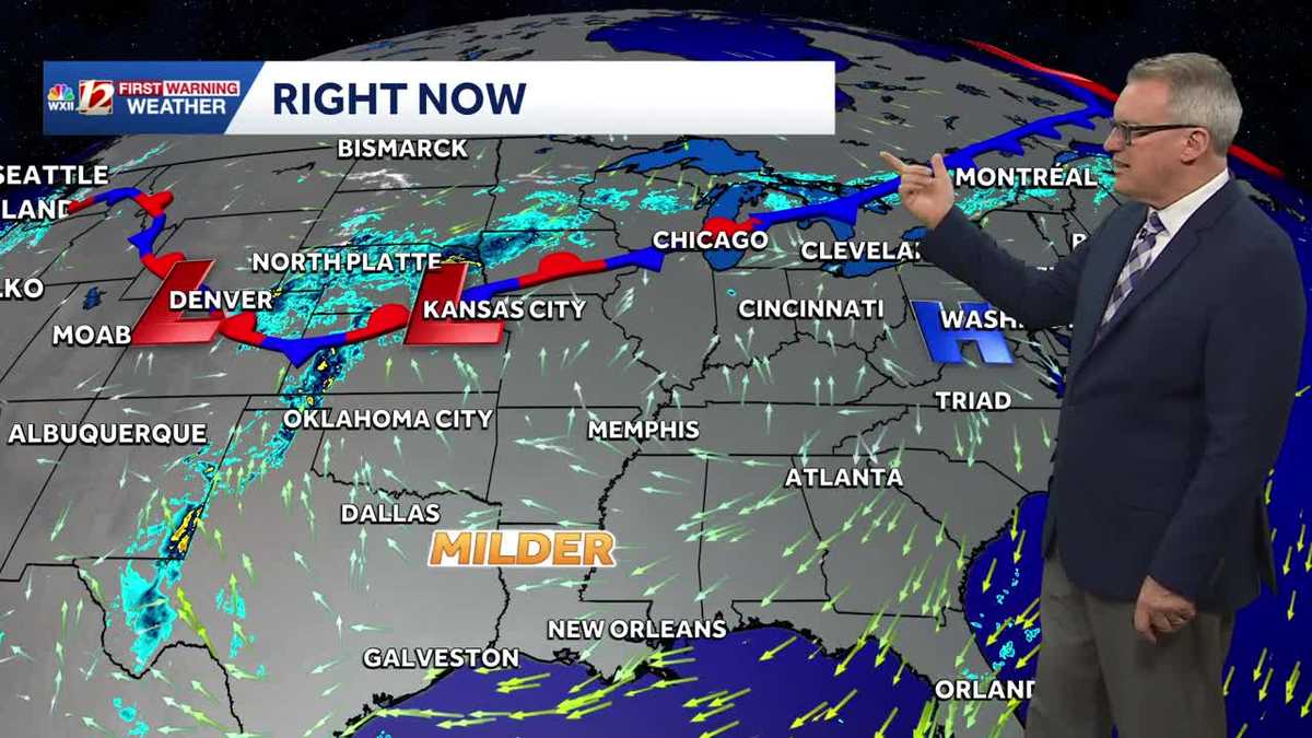 Milder fall temperature trend in North Carolina this week | Daylight saving time ends this weekend
North Carolina temperatures will turn warmer this week. Persistent dry weather is expected to continue until next week. Daylight saving time ends Sunday. Our stretch of beautiful fall weather will continue this week…
-
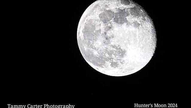 Meteor showers and what to look for in the night sky over North Carolina | Chilly fall mornings
The full hunter's moon will be bright this week. Grab a jacket for stargazing outdoors. If you're stargazing this week, bring extra layers for the chilly 40s when the sun goes down and the stars come out. The full moon…
-
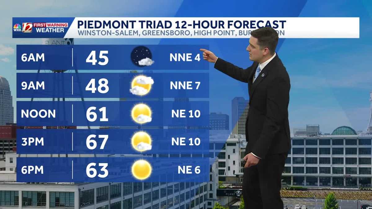 Quiet and dry weather continues in North Carolina this week
Meteorologist Dylan Hudler has your Sunday forecast Quiet and dry weather continues in North Carolina this week Meteorologist Dylan Hudler has your Sunday forecast Our sunny and dry stretch of fall weather will continue…
-
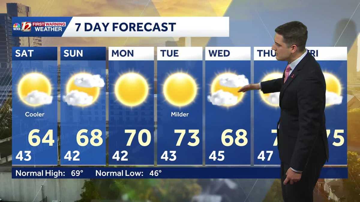 Slightly cooler fall weather this weekend, sunny and dry stretch continues in North Carolina
Meteorologist Dylan Hudler has your Saturday forecast Slightly cooler fall weather this weekend, sunny and dry stretch continues in North Carolina Meteorologist Dylan Hudler has your Saturday forecast This weekend is a…
- A comfortable last day of the NC State Fair, dry streak persists
It's a chilly start Sunday, then the afternoon will be pleasant! We've had really great weather for the state fair. We only had one day with rain. The final day of the fair will bring mostly clear to partly cloudy skies…
-
 FORECAST: Dry, comfortable temperatures for the Panthers Game
WSOC TV FORECAST: Dry, comfortable temperatures for the Panthers Game CHARLOTTE â ABOVE: The latest forecast update from Severe Weather Center 9. To stay on top of changing weather conditions, be sure to download our…
-
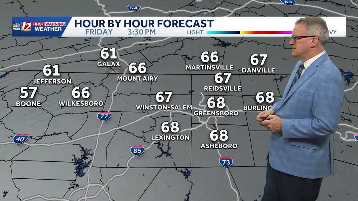 North Carolina temperatures dip a bit this weekend and it's dry, dry, dry...
Chilly North Carolina mornings will be followed by cool afternoon sunshine this weekend It's layering weather! You'll need a jacket early in the morning to combat the chill It will feel more pleasant by late morning…
-
 Surf City road maintenance project to bring lane closures through Oct. 30
SURF CITY, NC (WWAY) — Drivers in Surf City should expect intermittent lane closures as a road maintenance project gets underway Friday, Oct. 23. The Town of Surf City, in partnership with the North Carolina Department…
-
 Daylight saving time: Clocks 'fall back' just days from now
WASHINGTON — You'll get an extra hour to sleep off the Halloween fun this year (unless you have young children), as most Americans across the country "fall back" to standard time for daylight saving time. The biannual…
- Hurricane Vance strengthens to a Category 2 storm as it nears Mexico's Pacific Coast
Vance had maximum sustained winds of 105 mph (170 kph) as it churned about 425 miles (685 kilometers) south-southwest of Acapulco, according to an advisory from the Miami-based hurricane center. It could become a major…
Air quality
Forecast
- MonGood (42)
- TueGood (42)
- WedGood (48)
Iredell County, NC reporting area. Data from AirNow (EPA and its state, local and tribal partners); preliminary and subject to change.
Sun & moon
Almanac
MonthlyStatesville 2 Nne, records since 1901. Normals 1991–2020. Data from NOAA's Regional Climate Centers (ACIS).
Nearby
- Concord 52 km
- Huntersville 43 km
- Kannapolis 42 km
- Hickory 41 km
- Mooresville 25 km
- Salisbury 40 km
- Cornelius 35 km
- Clemmons 52 km
- Lexington 58 km
- Lenoir 60 km
- Harrisburg 57 km
- Mount Holly 57 km
Forecasters' discussion
From the National Weather Service office in GSP, issued 1 hr ago
What Has Changed
Precipitation chances have trended slightly higher for the coming weekend.
Updated the aviation discussion for the 18z TAF issuance.
Key Messages
1. Dry conditions persist over our region through at least Friday with temperatures warming to above normal. Rain chances increase this weekend.
Discussion
Key message 1: Dry conditions persist over our region through at least Friday with temperatures warming to above normal. Rain chances increase this weekend.
Relatively pleasant week ahead with high pressure remaining parked over the southeast through at least Friday. This keeps rain chances away and conditions dry. After a small dip in daytime highs over the past weekend, temps slowly creep back to normal and a tick over toward the end of the week. Toward the end of the work week, a slight increase in surface moisture warms overnight lows gradually, keeping freezing temps and frost chances away.
By Saturday, guidance depicts a kink in the general upper flow to the west, developing a series of shortwaves that could cross the CWA and increase rain chances. At this time, it lines up with a surge in moisture at the surface and could bring some rain. At this time, the chances for receiving 1 inch of rain or more across any location in the area is only 25-30%. Highest chances are for Sunday. Confidence in this potential system remains low to medium.
Aviation
At KCLT and elsewhere: VFR conditions prevail across all terminals through the TAF period. N/NE winds remain light to VRB into the overnight hours. Same for Tuesday. Cigs are SKC and SCT/FEW250 for the period. KAVL may have another round of BR between 08-13z, but should remain MVFR at worst.
Outlook: Mostly VFR conditions through the work week. Mountain valley fog and low stratus possible each morning. Restrictions may return for the weekend.
Forecasts, observations and alerts in the United States come from the National Weather Service (NOAA); radar from NOAA's Multi-Radar Multi-Sensor system; satellite imagery from NASA's Global Imagery Browse Services (GIBS) and NOAA's GOES satellites; the map from the U.S. Geological Survey's National Map; air quality from AirNow (EPA and its partners); hurricane information from the National Hurricane Center; climate normals and records from NOAA's Regional Climate Centers (ACIS). Forecasts outside the United States and the UV index: MET Norway (CC BY 4.0); observations outside the U.S.: airport reports via NOAA's Aviation Weather Center. Place names: GeoNames (CC BY 4.0). Data are copied on a schedule and may lag the sources; for warnings that affect your safety, follow your local National Weather Service office and emergency officials. Weather news is drawn from the 4Conservative index and reflects what the press published. Terms of use. How to use Weather