Install
Rocky Mount, NC 27804 Weather
Current conditions
Observed at Rocky Mount, Rocky Mount-Wilson Regional Airport · 20 min ago
Forecast
10-day-
Tonight
Clear, with a low around 43. North wind around 5 mph.
-
Wednesday
Sunny, with a high near 70. North wind 5 to 13 mph.
-
Wednesday Night
Clear, with a low around 42. North wind 1 to 8 mph.
National Weather Service forecast updated 5 hrs ago.
Hourly
Hourly forecast- Now50°
- 2 AM49°
- 3 AM49°
- 4 AM48°
- 5 AM47°
- 6 AM47°
- 7 AM47°
- 8 AM47°
- 9 AM53°
- 10 AM59°
- 11 AM64°
- 12 PM67°
- 1 PM68°
- 2 PM70°
- 3 PM70°
- 4 PM70°
- 5 PM69°
- 6 PM65°
- 7 PM59°
- 8 PM55°
- 9 PM52°
- 10 PM50°
- 11 PM49°
- Thu12 AM48°
10-day forecast
Details- TonightOct 20Clear43°
- TodayOct 21Sunny42°70°
- ThuOct 22Sunny47°68°
- FriOct 23Sunny44°62°
- SatOct 24Sunny48°63°
- SunOct 25Sunny48°67°
- MonOct 26Sunny51°71°
- TueOct 27Sunny73°
- WedOct 28Cloudy47°69°
- ThuOct 29Cloudy49°64°
Days after the National Weather Service's seven are MET Norway's outlook, a computer model with no forecaster's review.
Radar
Full mapWeather news near Rocky Mount
More weather news-
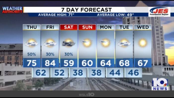 Southwest, Central Virginia Weather | 7:15 a.m. - Oct. 15, 2026
WSLS Southwest, Central Virginia Weather | 7:15 a.m. - Oct. 15, 2026 Here's a look at the morning forecast for Oct. 15, 2026. Healthwatch: Global Handwashing Day highlights simple health habit Consumer Reports: DIY tips…
-
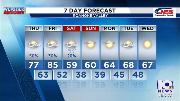 Southwest, Central Virginia Weather | 11 p.m. - Oct. 14, 2026
WSLS Southwest, Central Virginia Weather | 11 p.m. - Oct. 14, 2026 Here is a look at your Wednesday night forecast. 6th District community conversation held in Clifton Forge Wednesday night 16 patients taken to hospital…
- Sunny skies and climbing temps
Sunshine will be the rule through the end of the week with temps climbing well into the 80s each afternoon. Low to Mid 80s Tuesday afternoon will lift towards the mid to upper 80s Wednesday through Friday under…
-
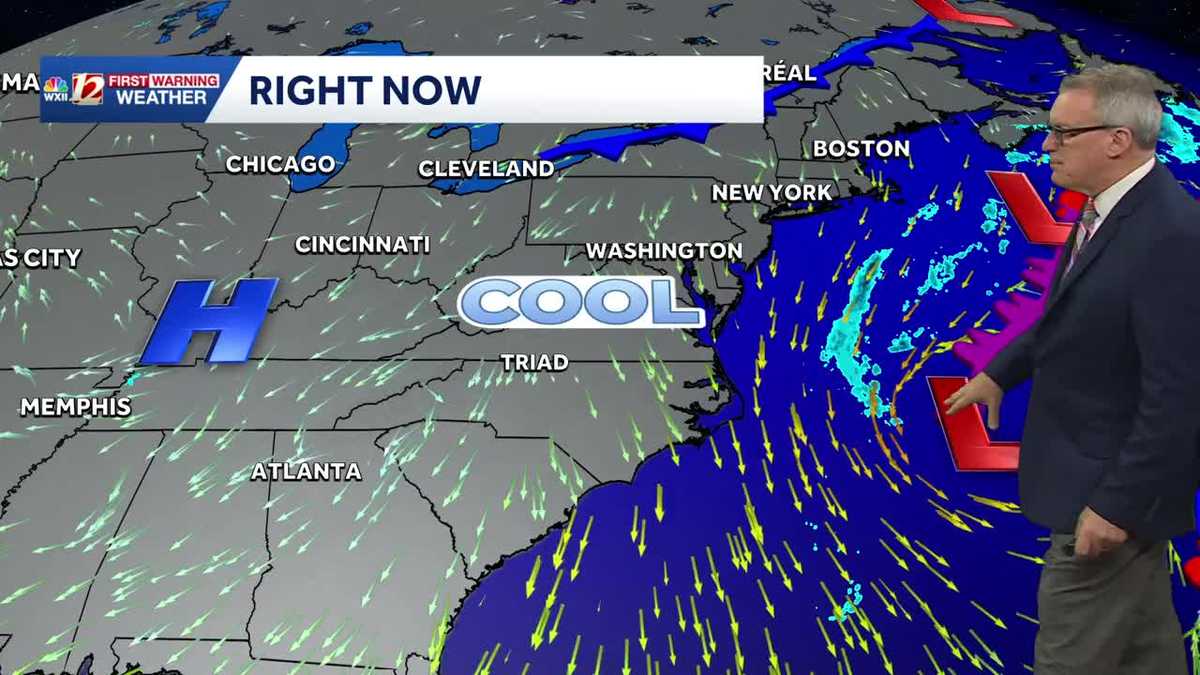 Sunny and seasonably cool weather across North Carolina this week
WXII Cold mornings will lead to seasonable, sunny afternoons in North Carolina this week Dress for 30s and 40s in the mornings Sunny weather will warm temperatures into the 60s and 70s in the afternoons Dry weather will…
-
-
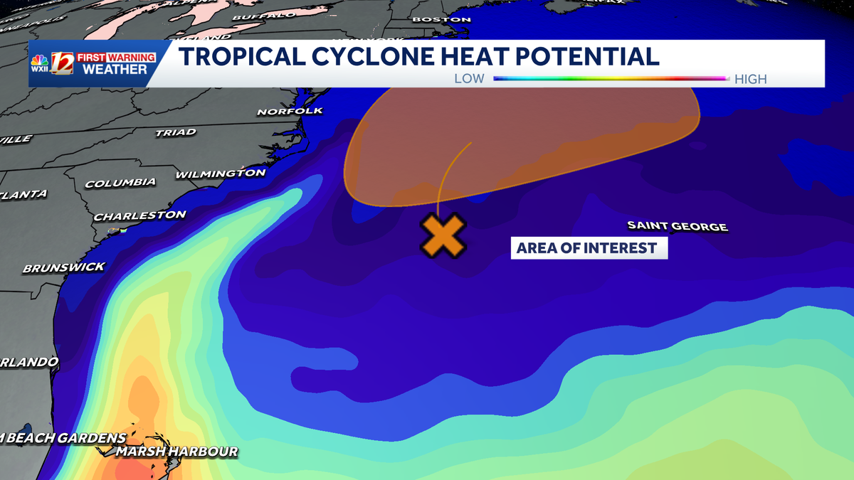
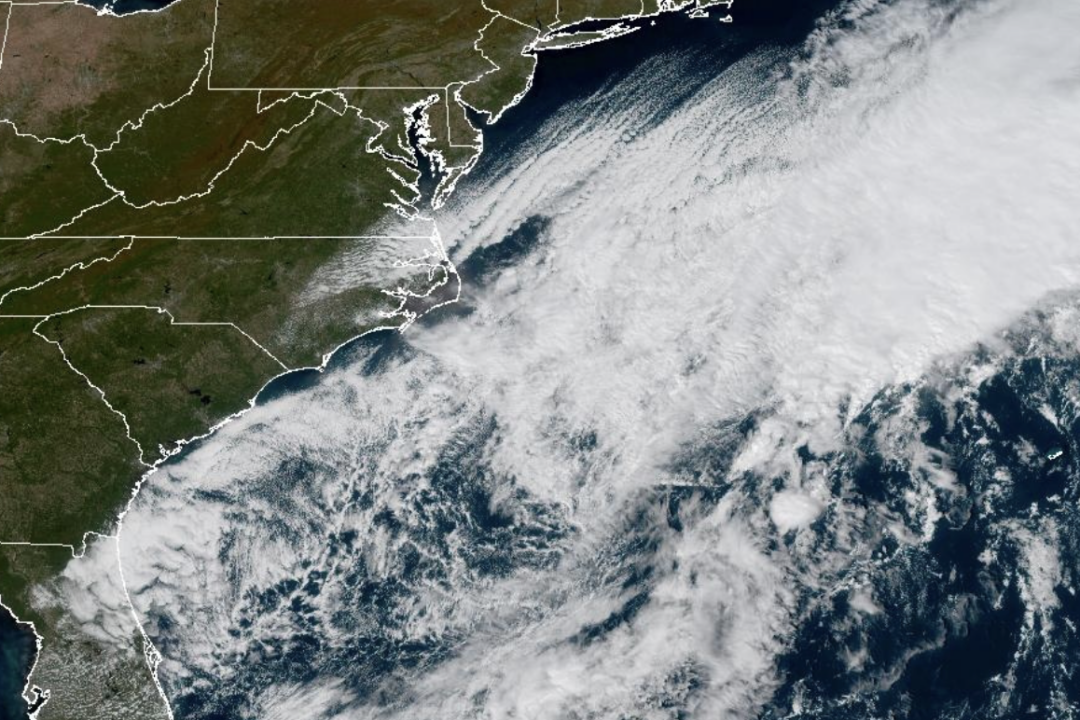 Weather System Off North Carolina Could Become Nor’Easter or Tropical Storm: What to Know
The National Weather Service and its National Hurricane Center are tracking a storm system sitting off the coast of North Carolina that has the opportunity to become either a proper Nor’easter or a Tropical Storm and is…
-
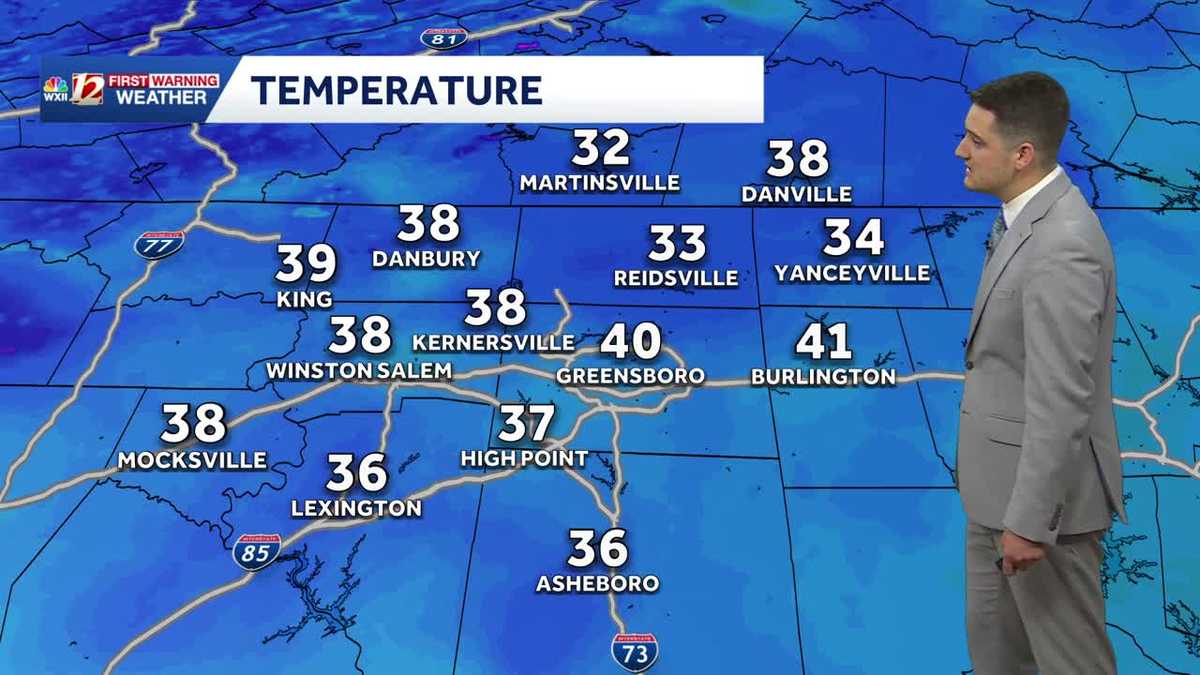 Cold Sunday morning in North Carolina, beautiful fall weather this week
WXII Cold Sunday morning in North Carolina, beautiful fall weather this week Meteorologist Dylan Hudler has your Sunday forecast Brrrr! Cold fall air is here! Sunday morning is the first time in the 30s for many…
-
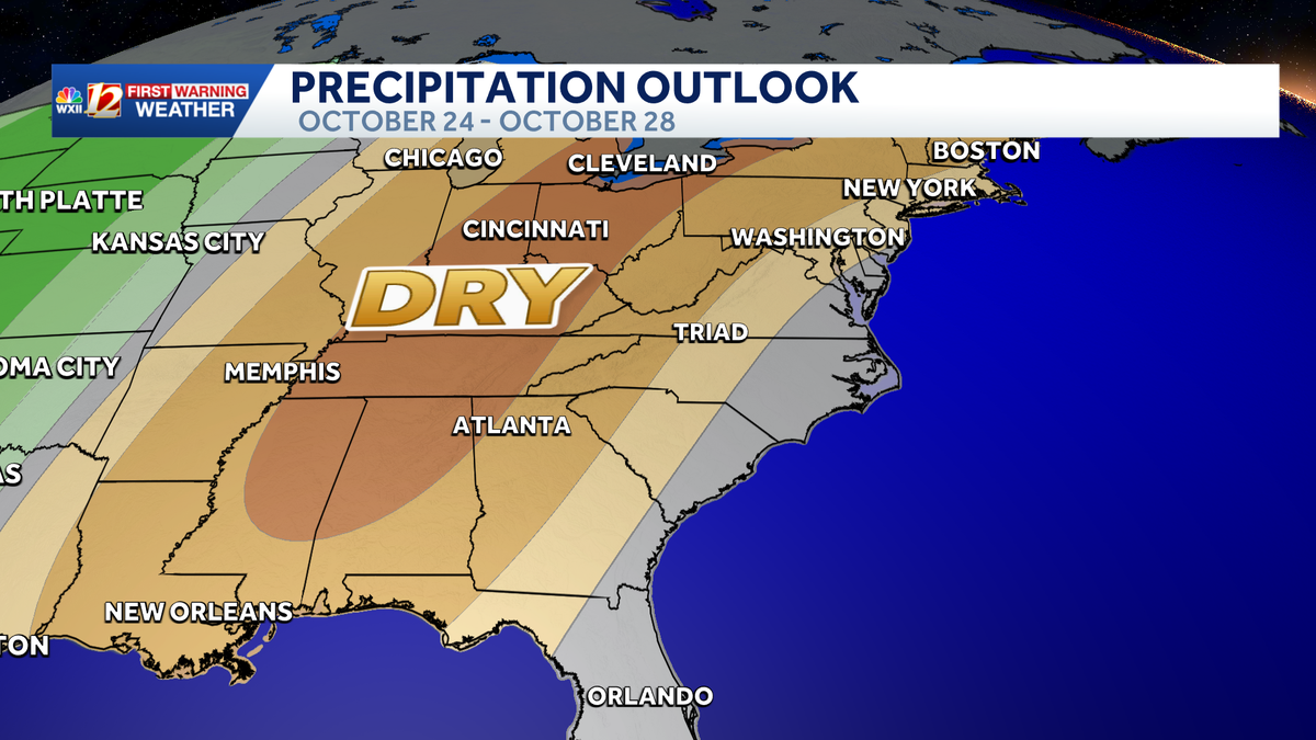 Seasonable highs ahead for the workweek in North Carolina | Cold mornings, tracking a coastal low
A dry pattern is developing for the coming workweek. Mostly sunny days will become seasonable through midweek, with highs in the 70s. A powerful cold front brought in a much colder air mass this weekend, but after two…
-
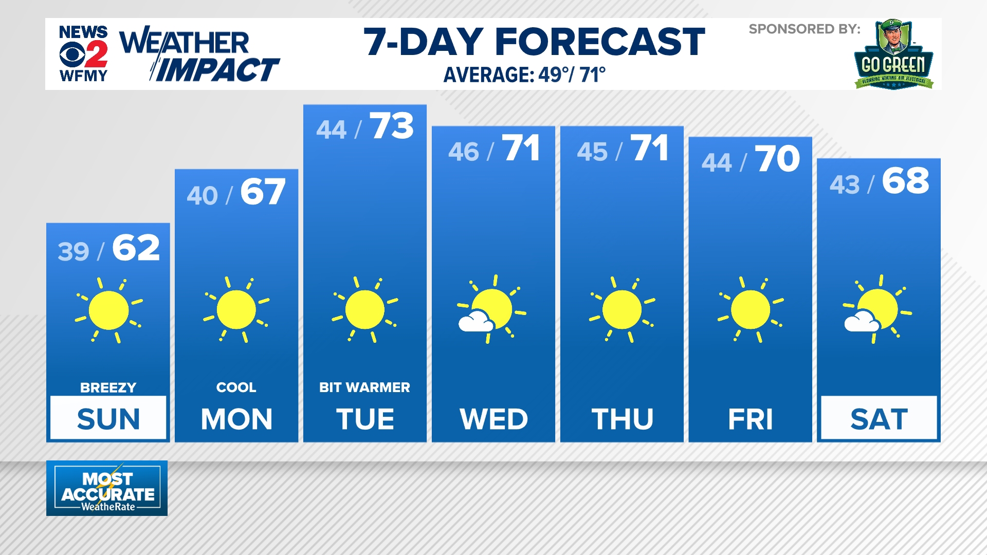 Cold mornings ahead for North Carolina
wfmynews2.com Cold mornings ahead for North Carolina To stream WFMY News 2 on your phone, you need the WFMY News 2 app. Download the WFMY News 2 app Next up in 5 Example video title will go here for this video Before…
- UPDATE: Frost advisory for Western North Carolina for Sunday, says the NWS
On Saturday at 9 p.m. the NWS Greenville-Spartanburg SC released an updated frost advisory valid for Sunday between 1 a.m. and 9 a.m. The advisory is for Caldwell Mountains, Greater Caldwell, Burke Mountains, Greater…
Air quality
Air quality is satisfactory, and air pollution poses little or no risk.
Forecast
- WedGood (40)
- ThuGood (40)
- FriGood (40)
Edgecombe County, NC reporting area · 1 hr ago. Data from AirNow (EPA and its state, local and tribal partners); preliminary and subject to change.
Sun & moon
Almanac
MonthlyWilson 3 Sw, records since 1916. Normals 1991–2020. Data from NOAA's Regional Climate Centers (ACIS).
Nearby
- Wilson 31 km
- Wake Forest 60 km
- Roanoke Rapids 55 km
- Tarboro 30 km
- Rolesville 55 km
- Wendell 53 km
- Nashville 11 km
- Zebulon 46 km
- Farmville 50 km
- Archer Lodge 58 km
- Louisburg 43 km
- Red Oak 8 km
Forecasters' discussion
From the National Weather Service office in RAH, issued 1 hr ago
What Has Changed
* Lowered dewpoints, otherwise no major changes
Key Messages
As of 1250 AM Wednesday...
1) Dry weather, with seasonal to below normal temperatures over the next week.
Discussion
As of 1250 AM Wednesday...
KEY MESSAGE 1... Dry weather, with seasonal to below normal temperatures over the next week.
High pressure will dominate over the next week. A stronger high pressure system will reinforce cooler temperatures late week through the weekend. Temperature-wise this will look like highs in the upper 60s to lower 70s today and tomorrow, before dropping generally into the 60s Friday through the weekend. Low temperatures are likely to be mainly in the upper 30s and 40s through the period. Temperatures may get down into the mid 30s in typical cooler spots Saturday and Sunday mornings which could allow for patchy frost.
No rain is expected through the period, with the next very low chance of rain coming from an expected weak and dry cold front mid next week.
Aviation
As of 755 PM Tuesday...
Canadian high pressure will extend across the ern US and maintain VFR conditions and nly surface winds in cntl NC through the 00Z TAF period and beyond for at least the next several days. Those nly surface winds may become gusty again with daytime heating around 14- 15Z Wed mainly at ern sites, where the MSL pressure gradient will be strongest between the Canadian high and coastal low pressure off the srn Middle Atlantic coast.
Outlook: VFR, as indicated above
Forecasts, observations and alerts in the United States come from the National Weather Service (NOAA); radar from NOAA's Multi-Radar Multi-Sensor system; satellite imagery from NASA's Global Imagery Browse Services (GIBS) and NOAA's GOES satellites; the map from the U.S. Geological Survey's National Map; air quality from AirNow (EPA and its partners); hurricane information from the National Hurricane Center; climate normals and records from NOAA's Regional Climate Centers (ACIS). Forecasts outside the United States and the UV index: MET Norway (CC BY 4.0); observations outside the U.S.: airport reports via NOAA's Aviation Weather Center. Place names: GeoNames (CC BY 4.0). Data are copied on a schedule and may lag the sources; for warnings that affect your safety, follow your local National Weather Service office and emergency officials. Weather news is drawn from the 4Conservative index and reflects what the press published. Terms of use.