Install
Yanceyville, NC 27379 Weather
Current conditions
Forecast for this hour (no station report in the last two hours)
Forecast
10-day-
This Afternoon
Sunny, with a high near 71. North wind around 7 mph.
-
Tonight
Clear, with a low around 39. Northeast wind 0 to 5 mph.
-
Friday
Sunny, with a high near 69. Northeast wind 3 to 10 mph.
National Weather Service forecast updated 2 hrs ago.
Hourly
Hourly forecast- Now67°
- 3 PM68°
- 4 PM70°
- 5 PM69°
- 6 PM65°
- 7 PM61°
- 8 PM58°
- 9 PM55°
- 10 PM53°
- 11 PM51°
- Fri12 AM49°
- 1 AM48°
- 2 AM47°
- 3 AM46°
- 4 AM45°
- 5 AM44°
- 6 AM42°
- 7 AM40°
- 8 AM41°
- 9 AM46°
- 10 AM51°
- 11 AM56°
- 12 PM59°
- 1 PM62°
10-day forecast
Details- TodayOct 22Sunny39°71°
- FriOct 23Sunny41°69°
- SatOct 24Sunny41°67°
- SunOct 25Sunny41°68°
- MonOct 26Sunny41°71°
- TueOct 27Sunny46°73°
- WedOct 28Mostly Sunny48°68°
- ThuOct 29Cloudy47°72°
- FriOct 30Sunny45°67°
- SatOct 31Cloudy40°62°
Days after the National Weather Service's seven are MET Norway's outlook, a computer model with no forecaster's review.
Radar
Full mapWeather news in North Carolina
More weather news-
 Nor'easter destroys sand barrier as it pummels North Carolina
The Weather Network
-
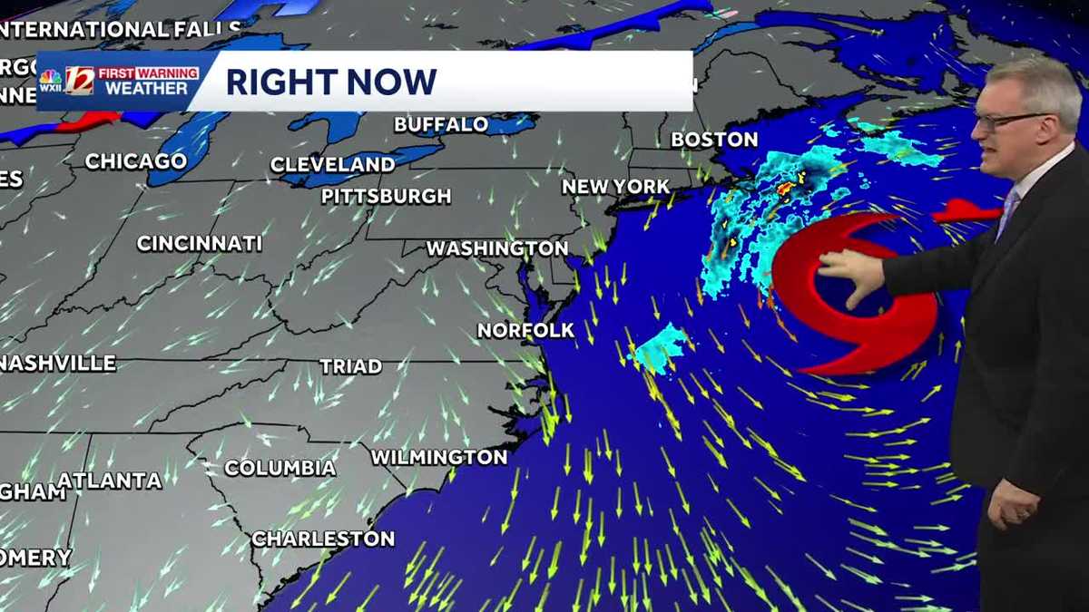 Sunny and dry Piedmont Triad weather Thursday | North Carolina temperatures this weekend
North Carolina will experience pleasant fall weather for most of the week. The beaches will remain windy, with large waves and concerns about coastal flooding. It's layering weather! You'll need a jacket early in the…
-
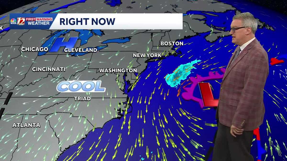 Beautiful North Carolina weather continues this week | Triad temperatures fall again this weekend
Cool Piedmont Triad mornings this week, sunny & pleasant afternoons WXII Despite the chilly start, afternoon temperatures were warmer than average on Tuesday afternoon The high temperature at Piedmont Triad…
-
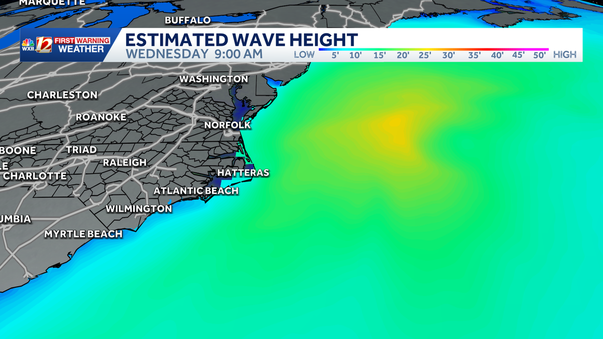 Slow-moving storm near North Carolina coast could gain tropical characteristics this week | Dangerous surf, flood threat for the Outer Banks
Coastal storm may become subtropical this week. Beach erosion, flooding is making travel difficult and the Outer Banks. A nor'easter is taking shape along the same powerful cold front that brought cooler temperatures to…
-
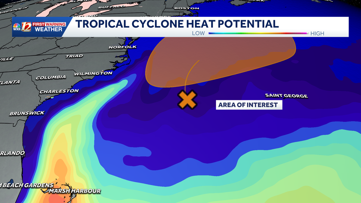
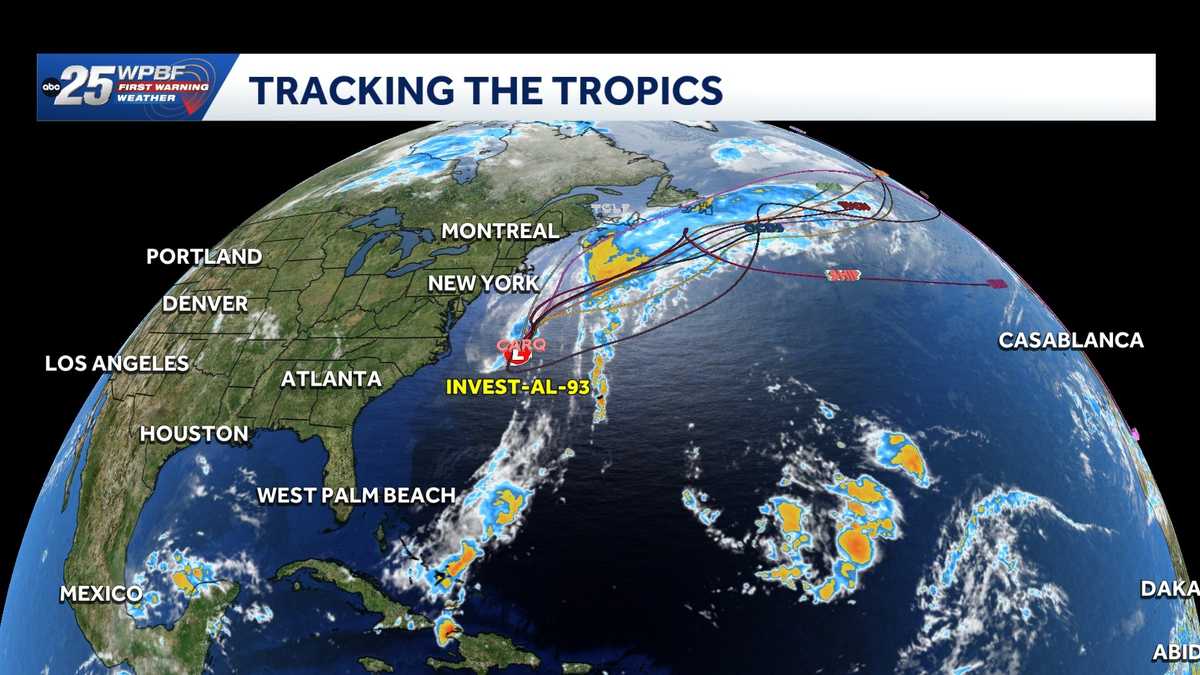 Low pressure off North Carolina could briefly turn subtropical while sending rough surf up the East Coast
A storm-force non-tropical low-pressure system located a few hundred miles off the North Carolina coast is producing shower and thunderstorm activity primarily west of its center. According to the National Hurricane…
-
-
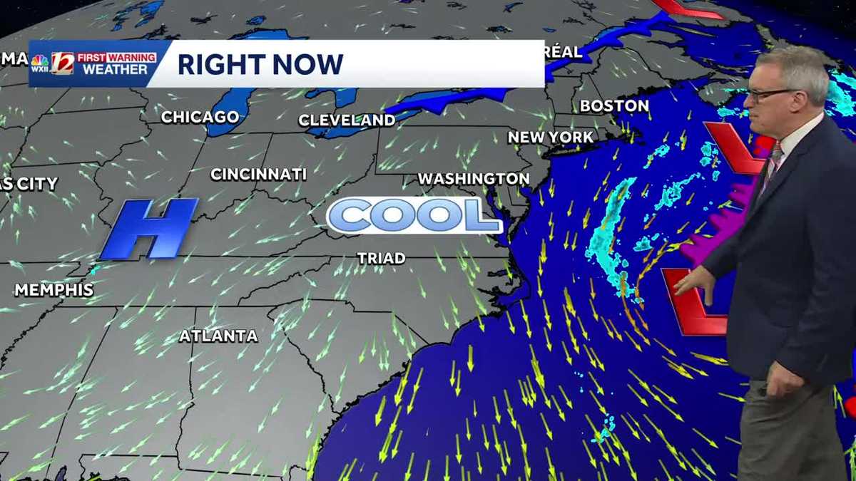 Sunny and seasonably cool weather across North Carolina this week
WXII Cold mornings will lead to seasonable, sunny afternoons in North Carolina this week Dress for 30s and 40s in the mornings Sunny weather will warm temperatures into the 60s and 70s in the afternoons Dry weather will…
-
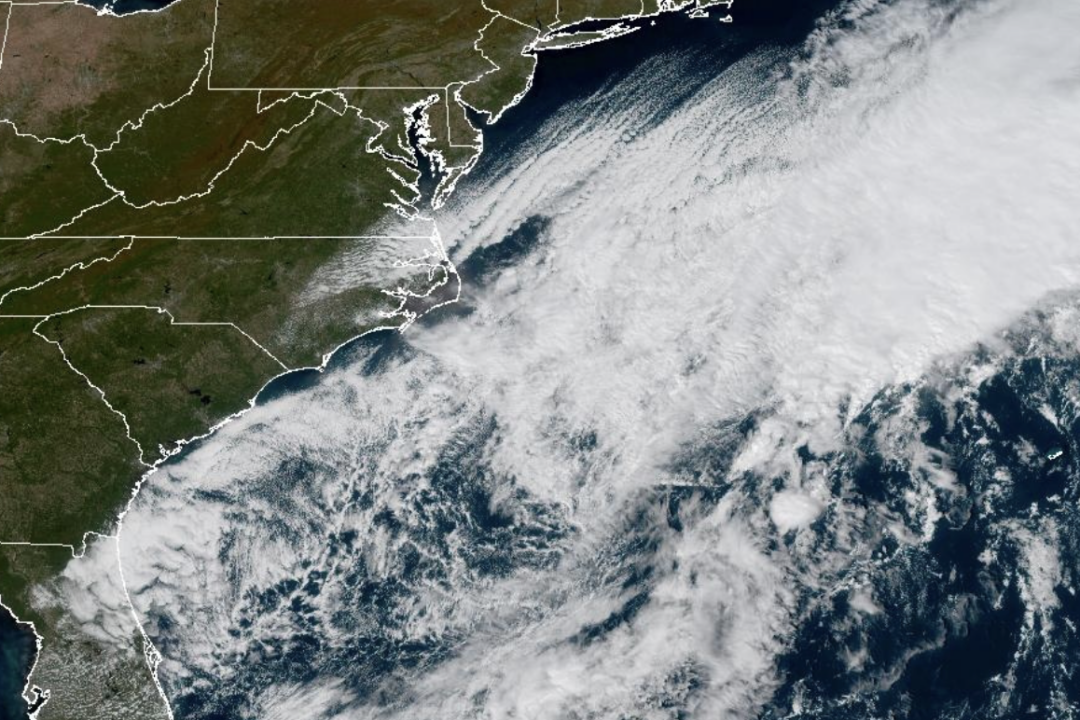 Weather System Off North Carolina Could Become Nor’Easter or Tropical Storm: What to Know
The National Weather Service and its National Hurricane Center are tracking a storm system sitting off the coast of North Carolina that has the opportunity to become either a proper Nor’easter or a Tropical Storm and is…
-
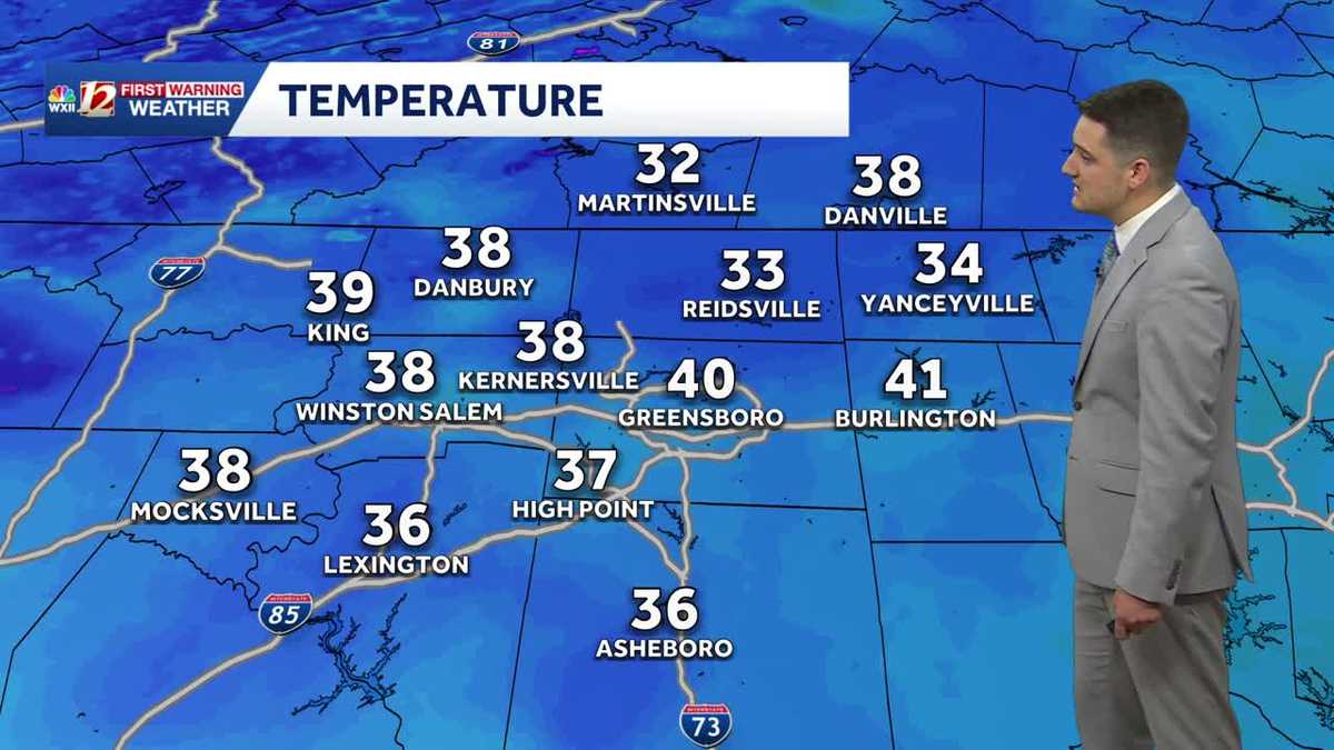 Cold Sunday morning in North Carolina, beautiful fall weather this week
WXII Cold Sunday morning in North Carolina, beautiful fall weather this week Meteorologist Dylan Hudler has your Sunday forecast Brrrr! Cold fall air is here! Sunday morning is the first time in the 30s for many…
-
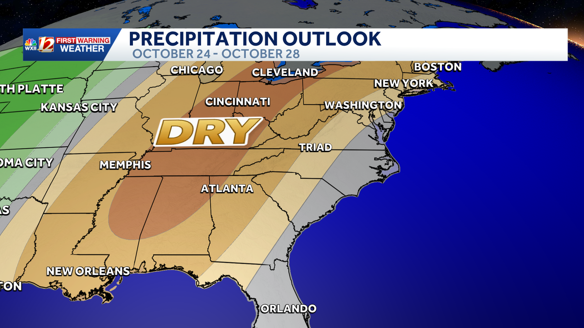 Seasonable highs ahead for the workweek in North Carolina | Cold mornings, tracking a coastal low
A dry pattern is developing for the coming workweek. Mostly sunny days will become seasonable through midweek, with highs in the 70s. A powerful cold front brought in a much colder air mass this weekend, but after two…
Air quality
Air quality is satisfactory, and air pollution poses little or no risk.
Forecast
- ThuGood (42)
- FriGood (40)
- SatGood (38)
Person County, NC reporting area · 2 hrs ago. Data from AirNow (EPA and its state, local and tribal partners); preliminary and subject to change.
Sun & moon
Almanac
MonthlyDanville Area, records since 1916. Normals 1991–2020. Data from NOAA's Regional Climate Centers (ACIS).
Nearby
- Greensboro 53 km
- Durham 60 km
- Chapel Hill 59 km
- Burlington 34 km
- Danville 22 km
- Carrboro 59 km
- Eden 39 km
- Graham 36 km
- Reidsville 29 km
- Mebane 34 km
- Martinsville 58 km
- Summerfield 54 km
Forecasters' discussion
From the National Weather Service office in RNK, issued 11 hrs ago
What Has Changed
Nothing. Simple message. Simple forecast.
Models continue to have problems with forecasting dewpoints, especially during the afternoon, which impacts the Rh forecast. Every cycle we have to artificially lower them from the NBM.
Key Messages
1) Dry with seasonable temperatures through early next week.
Discussion
KEY MESSAGE 1:Dry with seasonable temperatures through early next week.
The region will continue to remain under the influence of surface high pressure through the middle of next week. With high pressure and mostly clear skies over the region through the next week, temperatures look to moderate to more seasonable values in the 60s and 70s for highs each day, and 30s/40s for lows at night.
At this time, no precipitation is expected through at least the middle of next week, and is not looking likely for the remainder of the month.
Aviation
VFR conditions are expected through the TAF period. There will be some fog confined mainly to the rivers between the 08-13Z timeframe, but confidence too low to add to any of the terminal forecasts due to the very dry airmass in place over the region. Winds look to remain northerly/northeasterly through the TAF period at around 5 to 10 knots with gusts up to 15 knots at times across mountain terminals this afternoon.
EXTENDED OUTLOOK...
VFR conditions likely to continue into early next week. Any fog should be limited to over bodies of water, and not foreseeing any issues at the TAF sites.
Forecasts, observations and alerts in the United States come from the National Weather Service (NOAA); radar from NOAA's Multi-Radar Multi-Sensor system; satellite imagery from NASA's Global Imagery Browse Services (GIBS) and NOAA's GOES satellites; the map from the U.S. Geological Survey's National Map; air quality from AirNow (EPA and its partners); hurricane information from the National Hurricane Center; climate normals and records from NOAA's Regional Climate Centers (ACIS). Forecasts outside the United States and the UV index: MET Norway (CC BY 4.0); observations outside the U.S.: airport reports via NOAA's Aviation Weather Center. Place names: GeoNames (CC BY 4.0). Data are copied on a schedule and may lag the sources; for warnings that affect your safety, follow your local National Weather Service office and emergency officials. Weather news is drawn from the 4Conservative index and reflects what the press published. Terms of use.