Install
Craigsville, WV 26205 Weather
Current conditions
Observed at Sutton, Braxton County Airport · 1 hr ago
Forecast
10-day-
Today
Patchy fog before 10am. Sunny, with a high near 62. Northeast wind 0 to 5 mph.
-
Tonight
Patchy fog after 5am. Mostly clear, with a low around 34. Northeast wind around 2 mph.
-
Thursday
Patchy fog before 10am. Sunny, with a high near 59. North wind 0 to 6 mph.
National Weather Service forecast updated 4 hrs ago.
Hourly
Hourly forecast- Now38°
- 8 AM38°
- 9 AM43°
- 10 AM49°
- 11 AM55°
- 12 PM58°
- 1 PM60°
- 2 PM62°
- 3 PM62°
- 4 PM62°
- 5 PM61°
- 6 PM58°
- 7 PM50°
- 8 PM45°
- 9 PM43°
- 10 PM41°
- 11 PM39°
- Thu12 AM38°
- 1 AM37°
- 2 AM37°
- 3 AM36°
- 4 AM35°
- 5 AM34°
- 6 AM34°
Daily forecast
Details- TodayOct 21Patchy Fog then Sunny34°62°
- ThuOct 22Patchy Fog then Sunny34°59°
- FriOct 23Patchy Fog then Sunny33°62°
- SatOct 24Sunny34°63°
- SunOct 25Sunny36°64°
- MonOct 26Sunny40°65°
- TueOct 27Mostly Sunny41°64°
- WedOct 28Light showers0.04 in44°61°
- ThuOct 29Light rain0.03 in36°49°
Days after the National Weather Service's seven are MET Norway's outlook, a computer model with no forecaster's review.
Radar
Full mapWeather news in West Virginia
More weather news-
 Freeze expected tonight in six West Virginia counties before mild, dry week
CHARLESTON, W.Va. — One more frosty night is in store for parts of West Virginia before a mild, dry stretch settles in for the week ahead. The MetroNews forecast calls for a freeze tonight into early Monday in…
- A Long Stretch of Dry and Sunny Weather in West Virginia
WDTV 5 BRIDGEPORT, W.Va (WDTV) - Weather Overview: A Stretch of Sunny Days and Chilly Nights The next 10 days look mainly dry and sunny here in North Central West Virginia (NCWV). For each afternoon, temperatures reach…
-
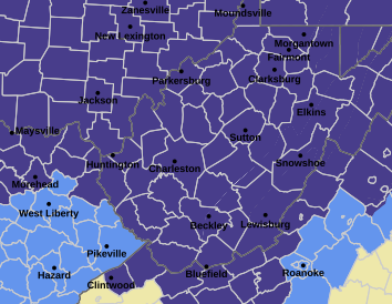 West Virginia under freeze warning for tonight
CHARLESTON, W.Va. — The National Weather has issued a freeze warning for the entire state for overnight Saturday into Sunday. The warning is posted for 1 a.m. to 9 a.m. Sunday. Meteorologists said sub-freezing…
-
 Dangerous Freeze Watch Issued for Maryland, DC, West Virginia and New Jersey as Temperatures Plummet
Freeze Watches are in effect from late Saturday night through Sunday morning across western Maryland, West Virginia and northern New Jersey, with lows in the upper 20s to low 30s possible. A strong cold front moves…
-
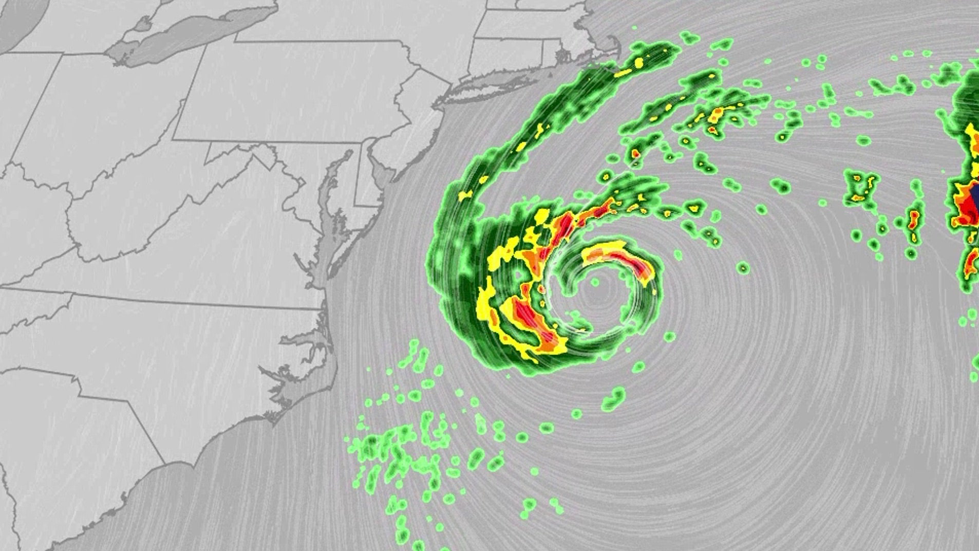 Nor'easter lashes coast from Carolinas to Northeast
An October nor'easter is still hugging the Atlantic coast, where it will bring high surf, rip currents, coastal flooding and winds to parts of the East Coast for several more days. The National Hurricane Center is…
-
 Boat owners urged to prepare for Storm Austen
Boat owners in Guernsey have been advised to ensure their vessels are safe ahead of stormy weather Boat owners have been told to ensure their vessels are ready for the winter with stormy conditions forecast. Guernsey…
-
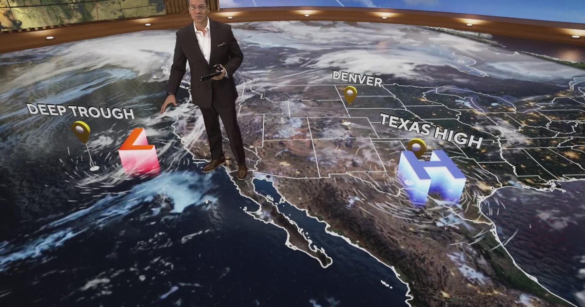 More clouds for Front Range with flooding rains heading to southwest Colorado
CBS News More clouds for Front Range with flooding rains heading to southwest Colorado MS misdiagnoses raise concerns, Colorado doctors warn of unnecessary treatment risks College bound Coloradans get ready for state…
-
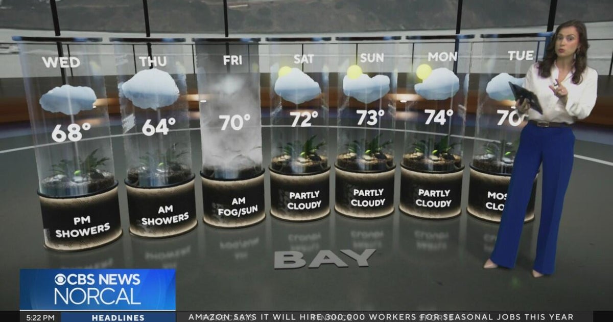 Tuesday evening First Alert weather forecast - 10/20/26
CBS News Tuesday evening First Alert weather forecast - 10/20/26 Becerra, Hilton campaign for California governor in Bay Area 2 weeks out from Election Day Oakland considers raising nuisance property fines to $10,000 a…
-
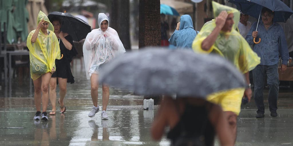 Slow-moving system could bring days of heavy rain and flooding to the Bahamas and Florida
A slow-moving system is developing near the Southwest Atlantic, bringing days of rain to Florida. Some areas could see 3 to 5 inches. A Level 1 out of 4 flash flood risk has been issued for Friday, while a Level 2 out…
-
 California's rainy season to arrive with flood threat, tornado risk and Sierra snow
California's wet season is starting off with a bang. The first significant storm of the season is forecast to bring heavy rain to vulnerable burn scars near Big Sur, coastal tornado risk to the Los Angeles area, and a…
Air quality
Air quality is satisfactory, and air pollution poses little or no risk.
Greenbrier County, WV reporting area · 1 hr ago. Data from AirNow (EPA and its state, local and tribal partners); preliminary and subject to change.
Sun & moon
Almanac
MonthlySummersville Lake, records since 1967. Normals 1991–2020. Data from NOAA's Regional Climate Centers (ACIS).
Nearby
- Oak Hill 59 km
- Summersville 19 km
- Fayetteville 50 km
Forecasters' discussion
From the National Weather Service office in RLX, issued 3 hrs ago
What Has Changed
A Frost Advisory is in effect until 9 AM this morning for portions of the central and northern lowlands of WV. Otherwise, the forecast generally remains consistent with the prior cycle, with the one exception being a slight reduction of low temperatures throughout the rest of the work week, and the inclusion of patchy frost in some areas. Updated 12Z Aviation Discussion.
Key Messages
1) High pressure ruling the roost through the weekend will continue to provide extended dry weather, with near seasonable daytime temperatures, while chilly overnights with patchy frost potential and river valley steam fog.
Discussion
KEY MESSAGE 1...
Sprawling surface high pressure will continue to provide dry weather throughout the entirety of this forecast period (through Tuesday), as it continues to remain entrenched across the NE/SE CONUS. Near seasonable daytime temperatures are expected throughout the period amid near wall-to-wall sunshine. A weak and dry backdoor cold front will attempt to drop southward through the area on Thursday, potentially resulting in daytime highs a few degrees cooler Thursday/Friday, before a gradual warming trend begins on Saturday, with highs perhaps reaching into the low 70s on Monday across the lowlands (~ 5 degrees above normal).
Soundings continue to prog a very dry layer at ~H850, which will continue to translate down to the surface to an extent during the afternoons with diurnal mixing. Have continued the trend of lowering afternoon dew points from central guidance each afternoon, with minimum relative humidity values generally in the mid 20s and 30s, although lower remains possible in some locations, as fine fuels continue to dry out. Surface flow will however remain quite light, with occasional breezes of 10 mph or greater confined to mainly the mountains.
The persistent 'arid' low/mid levels across the region will continue to facilitate very efficient radiational cooling going forward given clear skies and generally light H925 flow. With this in mind, maintained the trend of undercutting overnight temperatures from that of central guidance through Saturday morning. A Frost Advisory remains in effect until 9 AM this morning across portions of the central/northern lowlands of WV, where temperatures are expected to dip into the low/mid 30s in the valleys away from lakes and rivers. Patchy frost remains possible across the rest of the lowlands where the growing season remains active, but should be more isolated and primarily confined to the typical cold spots. Additional frost potential is expected tonight and the following nights continuing into the weekend under this persistence pattern, with fairly widespread lows in the 30s generally expected most nights. No new frost headlines will be issued at this time for tonight, giving day/evening shift a chance to re-evaluate the potential need for a Frost Advisory tonight based on afternoon and evening T/Td trends.
Overnight and early morning river valley steam fog is expected to persist throughout the work week and weekend given a continued large air / water temperature difference, with fog locally dense in spots.
Aviation
Dry weather continues through this TAF period (until 12Z Thursday) amid clear skies. The only aviation concern during this period is with river valley steam fog this morning, and again tonight, with IFR or worse restrictions expected at CRW/EKN/HTS/PKB. Fog this morning will slowly lift / scatter from ~ 12-1400Z, with widespread VFR thereafter. River valley fog will then begin developing once again at ~6-9Z Thursday morning.
Calm flow this morning will give way to light NNW to NNE surface flow during the day today. Flow goes calm after sunset.
FORECAST CONFIDENCE AND ALTERNATE SCENARIOS THROUGH 06Z THURSDAY...
FORECAST CONFIDENCE: Medium with fog, otherwise high.
ALTERNATE SCENARIOS: Restrictions with fog this morning and tonight may vary from the forecast.
EXPERIMENTAL TABLE OF FLIGHT CATEGORY OBJECTIVELY SHOWS CONSISTENCY OF WFO FORECAST TO AVAILABLE MODEL INFORMATION: H = HIGH: TAF CONSISTENT WITH ALL MODELS OR ALL BUT ONE MODEL. M = MEDIUM: TAF HAS VARYING LEVEL OF CONSISTENCY WITH MODELS. L = LOW: TAF INCONSISTENT WITH ALL MODELS OR ALL BUT ONE MODEL.
Forecasts, observations and alerts in the United States come from the National Weather Service (NOAA); radar from NOAA's Multi-Radar Multi-Sensor system; satellite imagery from NASA's Global Imagery Browse Services (GIBS) and NOAA's GOES satellites; the map from the U.S. Geological Survey's National Map; air quality from AirNow (EPA and its partners); hurricane information from the National Hurricane Center; climate normals and records from NOAA's Regional Climate Centers (ACIS). Forecasts outside the United States and the UV index: MET Norway (CC BY 4.0); observations outside the U.S.: airport reports via NOAA's Aviation Weather Center. Place names: GeoNames (CC BY 4.0). Data are copied on a schedule and may lag the sources; for warnings that affect your safety, follow your local National Weather Service office and emergency officials. Weather news is drawn from the 4Conservative index and reflects what the press published. Terms of use.