Install
Blue Ridge, VA 24064 Weather
Current conditions
Observed at Lynchburg, Lynchburg Regional Airport · 1 hr ago
Forecast
10-day-
Today
Sunny, with a high near 69. North wind 2 to 7 mph.
-
Tonight
Clear, with a low around 41. North wind 2 to 7 mph.
-
Friday
Sunny, with a high near 65. Northeast wind around 6 mph.
National Weather Service forecast updated 2 hrs ago.
Hourly
Hourly forecast- Now44°
- 10 AM51°
- 11 AM57°
- 12 PM61°
- 1 PM65°
- 2 PM68°
- 3 PM68°
- 4 PM69°
- 5 PM69°
- 6 PM66°
- 7 PM61°
- 8 PM54°
- 9 PM52°
- 10 PM50°
- 11 PM48°
- Fri12 AM46°
- 1 AM45°
- 2 AM44°
- 3 AM42°
- 4 AM42°
- 5 AM41°
- 6 AM41°
- 7 AM41°
- 8 AM41°
10-day forecast
Details- TodayOct 22Sunny41°69°
- FriOct 23Sunny39°65°
- SatOct 24Sunny38°61°
- SunOct 25Sunny39°65°
- MonOct 26Sunny42°69°
- TueOct 27Sunny48°70°
- WedOct 28Partly Sunny47°68°
- ThuOct 29Cloudy46°68°
- FriOct 30Sunny40°61°
- SatOct 31Cloudy34°57°
Days after the National Weather Service's seven are MET Norway's outlook, a computer model with no forecaster's review.
Radar
Full mapWeather news near Blue Ridge
More weather news-
 First Snow of the Season Falls on Blue Ridge Parkway, Mt. Mitchell
Snow returned to the High Country’s highest elevations Saturday, Oct. 17, with the first flakes of the season falling along the Blue Ridge Parkway and on Mt. Mitchell. Andrea Crouch shot video Saturday morning, Oct. 17…
-
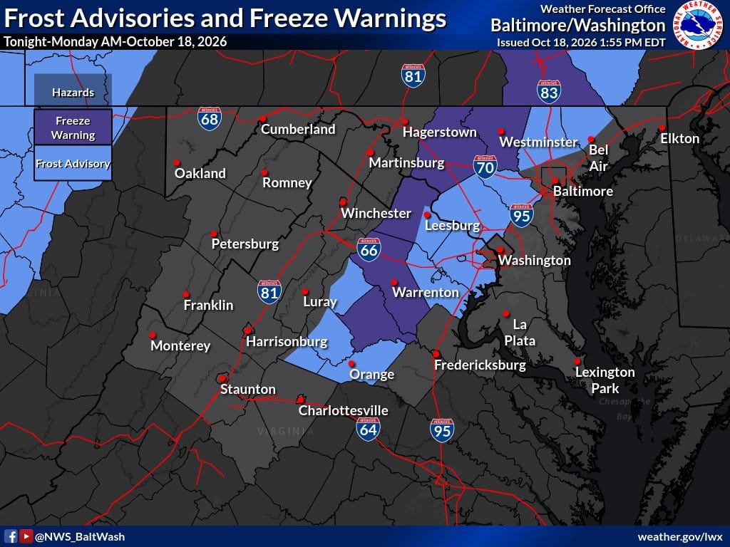 Frost and freeze alerts hoisted again for tonight
Many suburbs to dip into the low to mid-30s, with sensitive plants at risk For the second night in a row, the National Weather Service has issued frost (light shading above) and freeze (darker shading) alerts for parts…
-
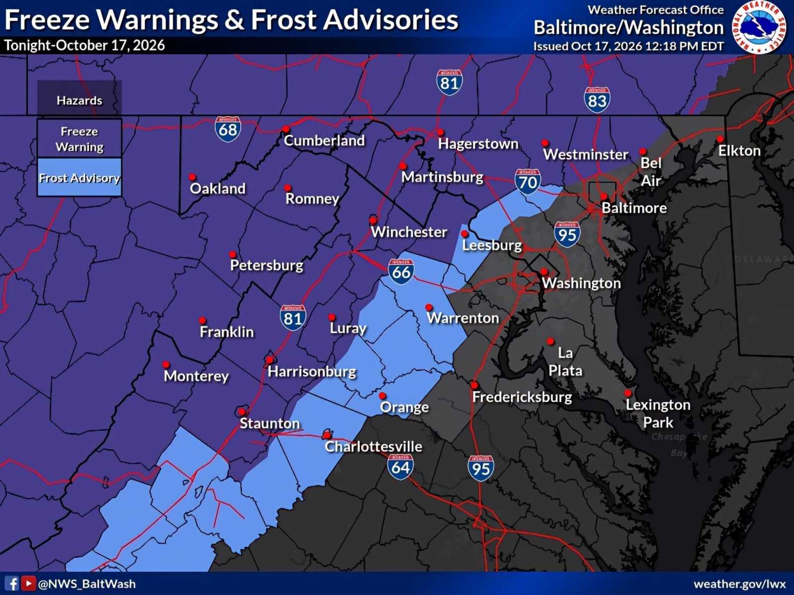 Frost Advisory and Freeze Warnings in Effect Across Parts of Maryland And Northern Virginia
A Frost Advisory remains in effect for northwestern Montgomery County until 9am Sunday, October 18, as temperatures are expected to fall into the low-to-mid 30s overnight. A Freeze Warning is in effect for some…
- It looks like fall outside and it will feel like fall too!
WSLS ROANOKE, Va. – Freeze Warnings and Frost Advisories are in effect tonight for areas along and west of the Parkway. So, don’t be surprised to wake up to some frost on Sunday morning as temperatures tonight fall into…
-
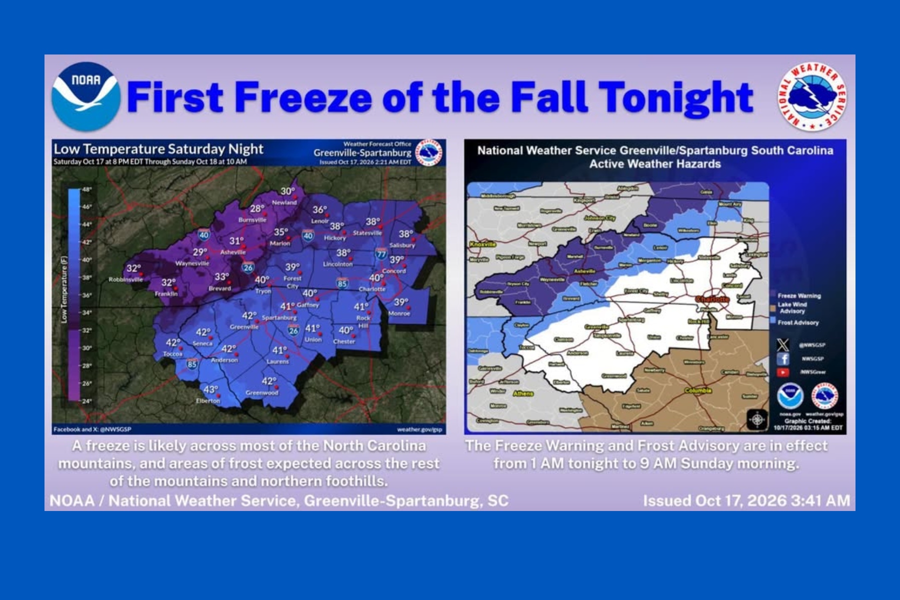 First snow falls in NC mountains as freeze warning looms
Mount Mitchell sees snow as temperatures plunge across Western North Carolina ASHEVILLE, N.C. (828newsNOW) — Fall colors are still hanging on in the North Carolina mountains, but winter made an early appearance Saturday…
-
 Cold and Breezy Saturday in South Carolina: Oct 17 forecast
Colder start this morning with breezy conditions through the afternoon. Highs plummet into the 50s and 60s and lows tumble into the 30s and 40s. Frost and freeze conditions are possible in the mountains Sunday, Monday…
- Fall colors coming soon to Tri-Cities region, ETSU experts say
Johnson City Press Fall colors are reaching their peak in areas across the Southern Appalachians Vibrant oranges and yellows will cascade through lower elevations this weekend and into next week, according to East…
-
 Fall color report: Highest peaks fade as color moves down
Fall color is on the move across the Southern Appalachians. The highest peaks have largely passed peak, but elevations just below them are entering some of their best color of the season, according to East Tennessee…
-
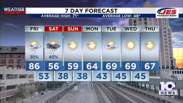 Southwest, Central Virginia Weather | Noon - Oct. 16, 2026
WSLS Southwest, Central Virginia Weather | Noon - Oct. 16, 2026 Here's a look at the afternoon forecast for Oct. 16, 2026. Consumer Reports: Weighted vests, walking pads and vibration plates tested for women in midlife…
-
 Fall color blazes in the mountains, builds across DC region
Western Maryland and the higher elevations of Virginia offer some of the best leaf-peeping opportunities this weekend, with a blustery Saturday giving way to a calmer, sunnier Sunday. Fall color continues to spill…
Air quality
Air quality is satisfactory, and air pollution poses little or no risk.
Forecast
- ThuGood (22)
Roanoke, VA reporting area · 2 hrs ago. Data from AirNow (EPA and its state, local and tribal partners); preliminary and subject to change.
Sun & moon
Almanac
MonthlyRoanoke Area, records since 1912. Normals 1991–2020. Data from NOAA's Regional Climate Centers (ACIS).
Nearby
- Roanoke 17 km
- Lynchburg 60 km
- West Lynchburg 56 km
- Blacksburg 56 km
- Salem 24 km
- Cave Spring 25 km
- Christiansburg 60 km
- Hollins 12 km
- Timberlake 50 km
- Forest 47 km
- Vinton 14 km
- Lexington 55 km
Forecasters' discussion
From the National Weather Service office in RNK, issued 6 hrs ago
What Has Changed
Nothing. Simple message. Simple forecast.
Models continue to have problems with forecasting dewpoints, especially during the afternoon, which impacts the Rh forecast. Every cycle we have to artificially lower them from the NBM.
Key Messages
1) Dry with seasonable temperatures through early next week.
Discussion
KEY MESSAGE 1:Dry with seasonable temperatures through early next week.
The region will continue to remain under the influence of surface high pressure through the middle of next week. With high pressure and mostly clear skies over the region through the next week, temperatures look to moderate to more seasonable values in the 60s and 70s for highs each day, and 30s/40s for lows at night.
At this time, no precipitation is expected through at least the middle of next week, and is not looking likely for the remainder of the month.
Aviation
VFR conditions are expected through the TAF period. There will be some fog confined mainly to the rivers between the 08-13Z timeframe, but confidence too low to add to any of the terminal forecasts due to the very dry airmass in place over the region. Winds look to remain northerly/northeasterly through the TAF period at around 5 to 10 knots with gusts up to 15 knots at times across mountain terminals this afternoon.
EXTENDED OUTLOOK...
VFR conditions likely to continue into early next week. Any fog should be limited to over bodies of water, and not foreseeing any issues at the TAF sites.
Forecasts, observations and alerts in the United States come from the National Weather Service (NOAA); radar from NOAA's Multi-Radar Multi-Sensor system; satellite imagery from NASA's Global Imagery Browse Services (GIBS) and NOAA's GOES satellites; the map from the U.S. Geological Survey's National Map; air quality from AirNow (EPA and its partners); hurricane information from the National Hurricane Center; climate normals and records from NOAA's Regional Climate Centers (ACIS). Forecasts outside the United States and the UV index: MET Norway (CC BY 4.0); observations outside the U.S.: airport reports via NOAA's Aviation Weather Center. Place names: GeoNames (CC BY 4.0). Data are copied on a schedule and may lag the sources; for warnings that affect your safety, follow your local National Weather Service office and emergency officials. Weather news is drawn from the 4Conservative index and reflects what the press published. Terms of use.