Install
Harrisonburg, VA 22802 Weather
Current conditions
Observed at Bridgewater Air Park · 1 hr ago
Forecast
10-day-
Tonight
Clear, with a low around 41. North wind around 5 mph.
-
Wednesday
Sunny, with a high near 64. Northeast wind 3 to 7 mph.
-
Wednesday Night
Clear, with a low around 38. North wind 0 to 5 mph.
National Weather Service forecast updated 1 hr ago.
Hourly
Hourly forecast- Now49°
- 1 AM47°
- 2 AM46°
- 3 AM45°
- 4 AM45°
- 5 AM44°
- 6 AM42°
- 7 AM41°
- 8 AM42°
- 9 AM45°
- 10 AM50°
- 11 AM55°
- 12 PM59°
- 1 PM60°
- 2 PM62°
- 3 PM62°
- 4 PM63°
- 5 PM62°
- 6 PM59°
- 7 PM55°
- 8 PM52°
- 9 PM50°
- 10 PM48°
- 11 PM46°
10-day forecast
Details- TonightOct 20Clear41°
- TodayOct 21Sunny38°64°
- ThuOct 22Sunny44°67°
- FriOct 23Sunny36°59°
- SatOct 24Sunny38°58°
- SunOct 25Sunny42°64°
- MonOct 26Sunny47°69°
- TueOct 27Mostly Sunny65°
- WedOct 28Cloudy45°63°
- ThuOct 29Cloudy39°53°
Days after the National Weather Service's seven are MET Norway's outlook, a computer model with no forecaster's review.
Radar
Full mapWeather news near Harrisonburg
More weather news- Shenandoah Valley Weather: Sunny and 60’s today
Here’s the WSVA local forecast for Harrisonburg and the Shenandoah ValleyToday: Sunny, with a high near 69. North wind 3 to 8 mph. Tonight: Mostly clear, with a low around 41. Light north wind. Wednesday: Sunny, with a…
-
 Stretch of dry, pleasant days through this week
Live 5 News Stretch of dry, pleasant days through this week Sioux City Council approves $1.1M odor control plan for wastewater treatment plant Elkton mobile home park residents face uncertainty as electrical…
-
 Your work week forecast: A sunny and cool week
Here’s the WSVA local forecast for Harrisonburg and the Shenandoah ValleyTonight: Clear, with a low around 34. North wind around 5 mph becoming calm in the evening. Tuesday: Sunny, with a high near 69. North wind 5 to 9…
-
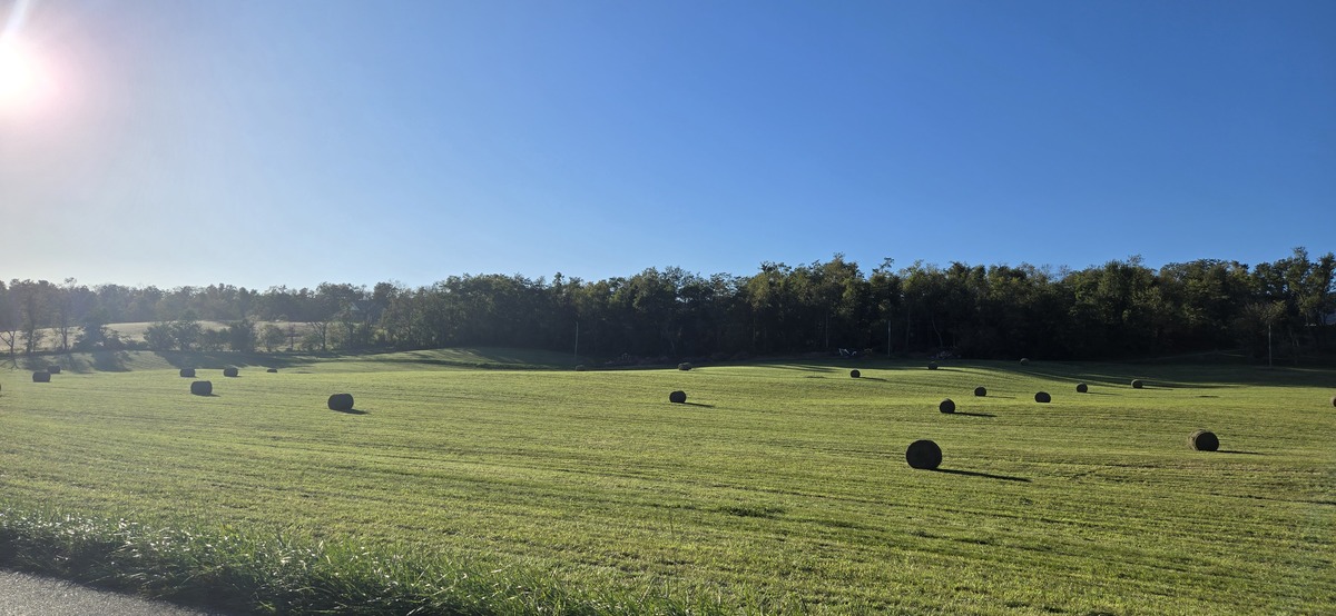 Shenandoah Valley Weather: Sunny days and clear nights this week
Freeze Warning until 9 a.m. this morning Here’s the WSVA local forecast for Harrisonburg and the Shenandoah ValleyToday: Widespread frost, mainly before 9am. Otherwise, sunny, with a high near 56. North wind 5 to 7 mph…
-
 Shenandoah Valley Weather: Freeze Warning overnight tonight
Here’s the forecast for Harrisonburg and the Shenandoah ValleyToday: A chance of showers, mainly before 10am. Cloudy early, then gradual clearing, with a high near 54. North wind 14 to 17 mph, with gusts as high as 28…
- Lots of sunshine on the way and comfortable temperatures
Today: sunny to partly cloudy; breezy, less humid and cooler. High 55. HARRISONBURG, VA (Rocktown Now) — Your Shenandoah Valley Forecast: With the win Turner Ashby is 6-1 on the season. East Rockingham falls to 6-2. A…
-
 Freeze Watch in effect until Sunday morning
HARRISONBURG, VA (Rocktown Now) — A Freeze Watch has been issued until October 18 at 8:00AM by the National Weather Service. NWS says sub-freezing temperatures in the upper 20s and low 30s are possible in the Shenandoah…
-
 Shenandoah Valley Forecast: Sunshine returns today, colder this weekend
Tonight: A chance of showers before 10pm, then a chance of showers after 2am. Mostly cloudy, with a low around 45. Northwest wind 9 to 13 mph, with gusts as high as 30 mph. Chance of precipitation is 40%. Saturday…
-
 Local counties declared free of drought conditions; water table is rising
For the first time in many months, most of the Shenandoah Valley and Piedmont are officially “drought‑free,” according to a new update from the U.S. Drought Monitor. ROCKINGHAM COUNTY, VA (Rocktown Now) — For the first…
-
 Shenandoah Valley Weather: Cooler with Showers today
The WSVA local forecast for Harrisonburg and the Shenandoah ValleyToday: Showers, mainly before 3pm. High near 65. East wind 3 to 5 mph. Chance of precipitation is 90%. New precipitation amounts between a quarter and…
Air quality
Air quality is satisfactory, and air pollution poses little or no risk.
Harrisonburg, VA reporting area · 1 hr ago. Data from AirNow (EPA and its state, local and tribal partners); preliminary and subject to change.
Sun & moon
Almanac
MonthlyDale Enterprise, records since 1893. Normals 1991–2020. Data from NOAA's Regional Climate Centers (ACIS).
Nearby
- Charlottesville 59 km
- Staunton 44 km
- Waynesboro 47 km
- Stuarts Draft 55 km
- Hollymead 53 km
- Fishersville 45 km
- Bridgewater 18 km
- Crozet 48 km
- Woodstock 51 km
- Massanetta Springs 10 km
- Luray 37 km
- Verona 36 km
Forecasters' discussion
From the National Weather Service office in LWX, issued 3 hrs ago
What Has Changed
Nothing.
Key Messages
- 1) Dry conditions and seasonable temperatures are expected through early next week.
Discussion
KEY MESSAGE 1...Dry conditions and seasonable temperatures are expected through early next week.
The pattern will remain relatively stagnant through tomorrow, with a Nor'easter continuing to circulate off the Mid- Atlantic coast and high pressure gradually building to our north. Northerly winds will continue to advect dry air into the region, leading to clear skies. Temperatures will be near seasonal normals, with highs in the 60s to near 70 and lows in the mid to upper 30s (west of the Blue Ridge) to lower to middle 40s (east of the Blue Ridge).
By Thursday, what remains of the upper reflection of the offshore closed low gradually becomes absorbed into a deep trough over eastern Canada. These adjoining features are slated to pull eastward into the Canadian Maritimes while upstream heights build across the Mississippi Valley. From Friday and into this weekend, this broad ridge axis advances eastward ahead of a trough inhabiting the western/central U.S. As this occurs, there are some hints of another upper low center getting pinched off near the Carolina coast. However, its far southward displacement should minimize any direct impacts from this system. Overall synoptic uncertainty does increase markedly toward the end of the weekend and into early next week. Most notably, it revolves around a split in the jet streams over the middle of the continent.
Looking down at the surface, high pressure dominates through late week while becoming more centered over the northeastern U.S. by Saturday. This ensures continued tranquil weather heading toward the last week of October. Expect dry conditions along with abundant sunshine each day. The air mass will remain quite dry owing to the prevailing northerly component to the local wind fields. Most days should yield highs in the 60s (50s for the mountains). The coldest overnight periods will likely be Friday and Saturday nights as lows fall into the 30s to low 40s. With the growing season having ended from the Blue Ridge westward, it remains to be seen if any frost/freeze threats emerge off to the east.
Aviation
VFR conditions and northerly winds are expected through tomorrow. A few gusts to around 15-20 knots may be possible at times at MTN, BWI, DCA, and IAD.
VFR conditions are anticipated for Thursday through Saturday given robust high pressure over the region. Winds through Friday will mainly be northerly with afternoon gusts to around 15 to 20 knots. As high pressure settles overhead, winds turn lighter by Saturday.
Forecasts, observations and alerts in the United States come from the National Weather Service (NOAA); radar from NOAA's Multi-Radar Multi-Sensor system; satellite imagery from NASA's Global Imagery Browse Services (GIBS) and NOAA's GOES satellites; the map from the U.S. Geological Survey's National Map; air quality from AirNow (EPA and its partners); hurricane information from the National Hurricane Center; climate normals and records from NOAA's Regional Climate Centers (ACIS). Forecasts outside the United States and the UV index: MET Norway (CC BY 4.0); observations outside the U.S.: airport reports via NOAA's Aviation Weather Center. Place names: GeoNames (CC BY 4.0). Data are copied on a schedule and may lag the sources; for warnings that affect your safety, follow your local National Weather Service office and emergency officials. Weather news is drawn from the 4Conservative index and reflects what the press published. Terms of use.