Install
Cumberland, MD 21502 Weather
Current conditions
Observed at Cumberland, Greater Cumberland Regional Airport · 1 hr ago
Forecast
10-day-
This Afternoon
Sunny, with a high near 67. North wind around 1 mph.
-
Tonight
Clear, with a low around 36. Northwest wind around 5 mph.
-
Thursday
Sunny, with a high near 66. Northwest wind 2 to 8 mph.
National Weather Service forecast updated 1 hr ago.
Hourly
Hourly forecast- Now67°
- 5 PM66°
- 6 PM62°
- 7 PM57°
- 8 PM50°
- 9 PM48°
- 10 PM45°
- 11 PM43°
- Thu12 AM42°
- 1 AM41°
- 2 AM40°
- 3 AM39°
- 4 AM38°
- 5 AM38°
- 6 AM37°
- 7 AM36°
- 8 AM36°
- 9 AM39°
- 10 AM48°
- 11 AM55°
- 12 PM60°
- 1 PM63°
- 2 PM65°
- 3 PM66°
Daily forecast
Details- TodayOct 21Sunny36°67°
- ThuOct 22Sunny42°66°
- FriOct 23Sunny33°61°
- SatOct 24Sunny34°61°
- SunOct 25Sunny37°65°
- MonOct 26Sunny43°70°
- TueOct 27Mostly Sunny43°67°
- WedOct 28Light showers0.02 in48°62°
- ThuOct 29Mostly sunny39°60°
Days after the National Weather Service's seven are MET Norway's outlook, a computer model with no forecaster's review.
Radar
Full mapWeather news in Maryland
More weather news-
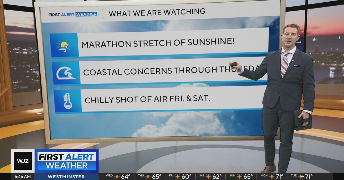 Sunshine continues for days across Maryland
CBS News Sunshine continues for days across Maryland Around Town: Flock to the Ivy Hotel to enjoy their purple pride packages Goetze Candy Company has a new beer collab with Monument City Brewing called "Bulls-eye" The…
-
 Maryland Drivers Urged To Watch For Children At Bus Stops As Mornings Grow Darker
CALIFORNIA, Md. — As mornings grow darker and daylight saving time approaches its end, Maryland drivers are being reminded to slow down and watch for children walking to school bus stops during their morning commutes…
-
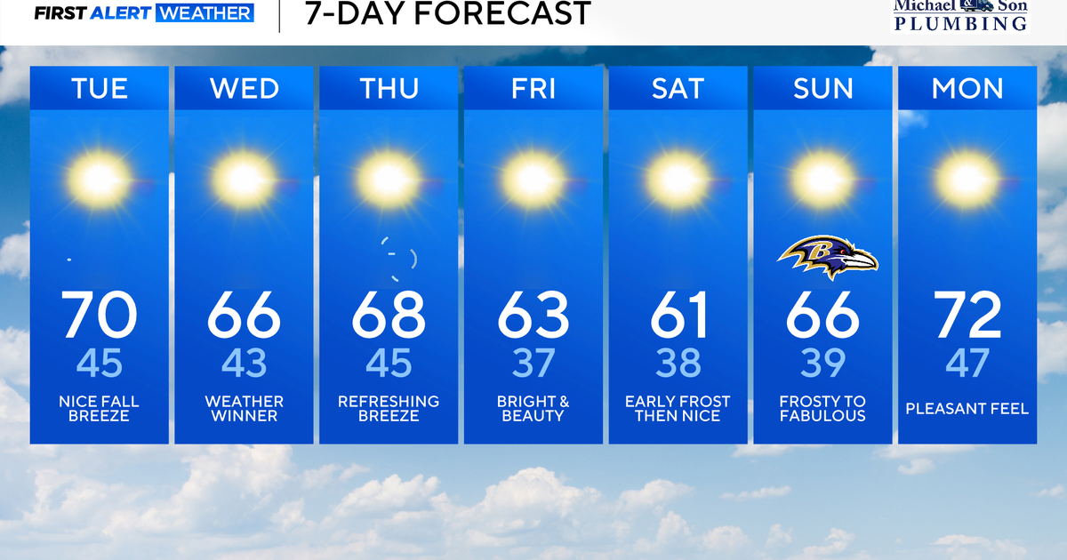 Nor'easter offshore keeps Maryland crisp, cool, and comfortable
Updated on: October 20, 2026 / 8:28 AM EDT / CBS Baltimore An atmospheric 'traffic jam' will keep Maryland in an exceptional fall weather pattern. Sunshine, crisp, and comfortably cool temperatures will continue through…
-
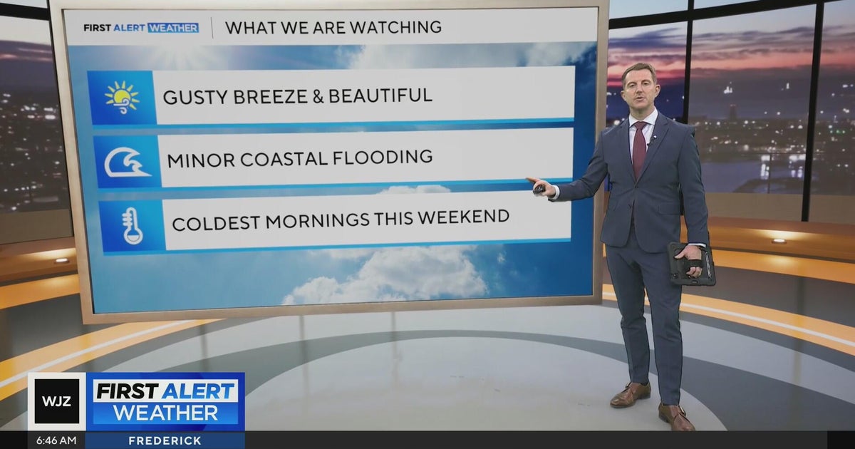 Beautiful stretch of weather in Maryland this week
CBS News Beautiful stretch of weather in Maryland this week Baltimore police investigate reported shooting along Belair Road Cool, nice, breezy weather continues in Maryland 1 killed in triple shooting near NW Baltimore…
-
 Fall weather is finally here in Maryland. But will it stay?
Maryland will continue to see cooler temperatures, complementing the beginning of changing leaves, wearing sweaters and Halloween festivities as the state enters autumn. "We finally have kind of seen a full transition…
-
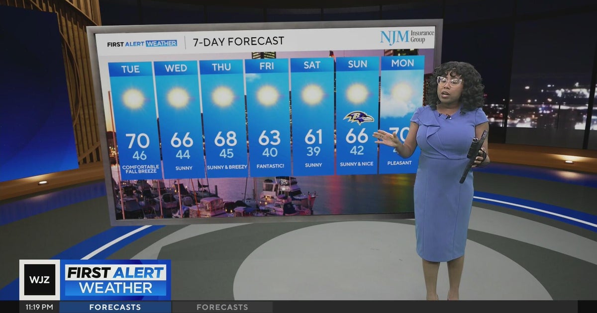 Cool, nice, breezy weather continues in Maryland
CBS News Cool, nice, breezy weather continues in Maryland 1 killed in triple shooting near NW Baltimore gas station Ravens will try to bounce back after disappointing loss in Cleveland | Purple Connection Baltimore…
-
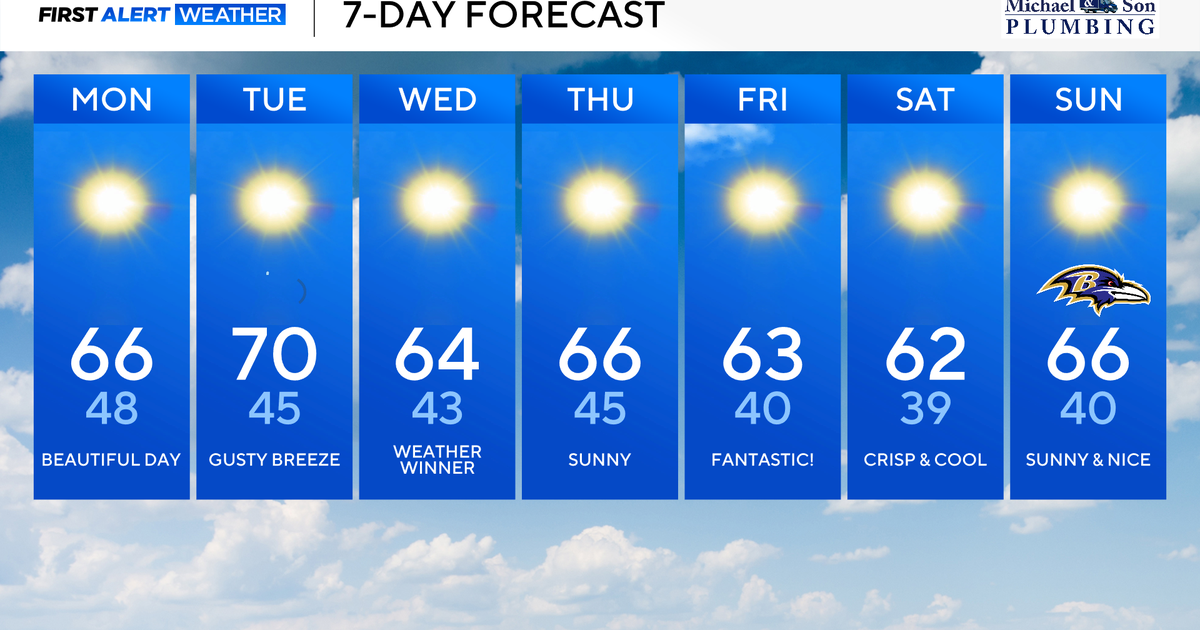 Classic fall weather and feel across Maryland this week
Updated on: October 19, 2026 / 8:36 AM EDT / CBS Baltimore A powerful offshore storm to our east and high pressure nearby will allow for a beautiful fall week ahead. This dry stretch of weather will be rather impressive…
-
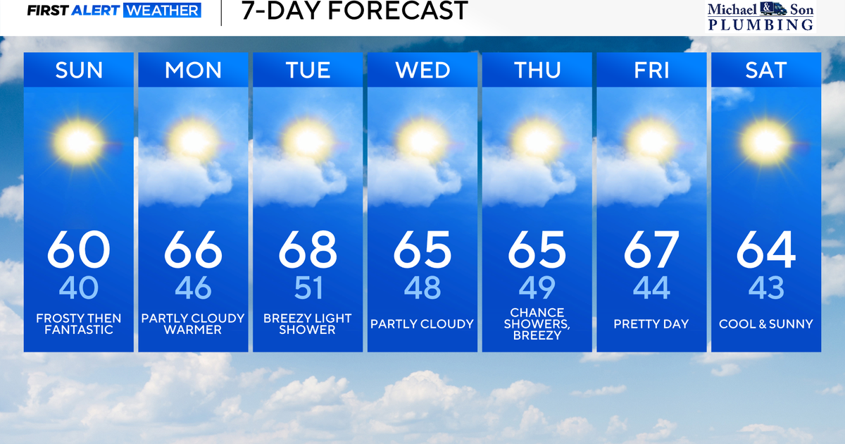 Surplus sunshine across Maryland to end the weekend
CBS News Baltimore is a local news organization that is part of CBS News and Stations. Also referred to as WJZ-TV and channel 13, CBS News Baltimore offers local breaking news, weather coverage and investigative…
-
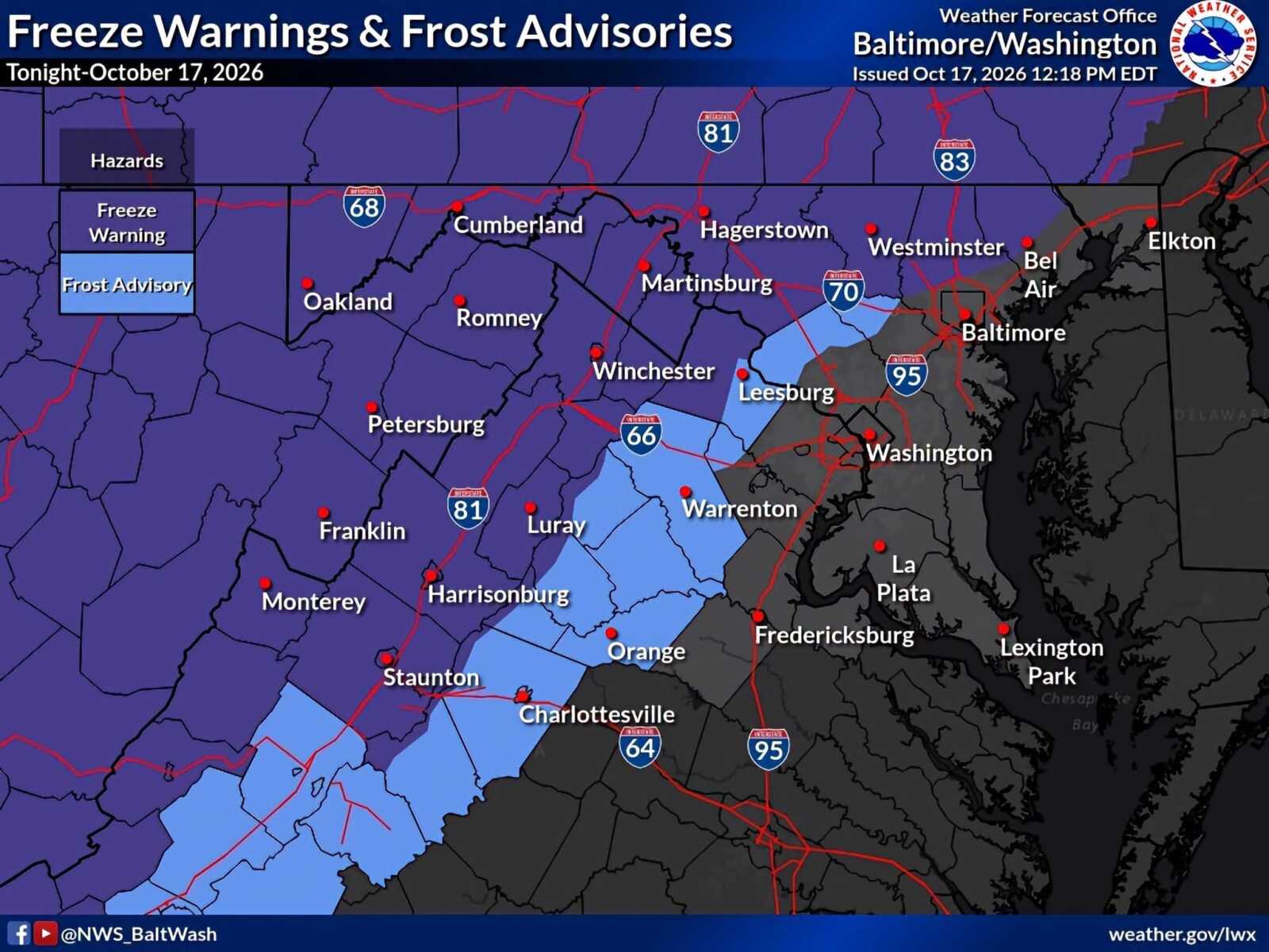 Frost Advisory and Freeze Warnings in Effect Across Parts of Maryland And Northern Virginia
A Frost Advisory remains in effect for northwestern Montgomery County until 9am Sunday, October 18, as temperatures are expected to fall into the low-to-mid 30s overnight. A Freeze Warning is in effect for some…
-
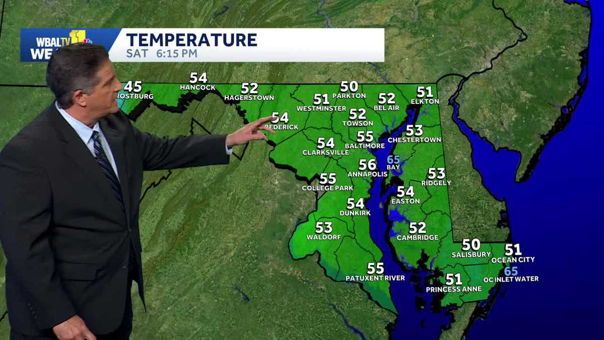 Frost is possible Saturday night in Maryland
Frost is possible tonight WBAL-TV Frost is possible Saturday night in Maryland Frost is possible tonight Good idea to cover or bring in any plants that are sensitive to the cold tonight. Frost is possible in areas away…
Air quality
Air quality is satisfactory, and air pollution poses little or no risk.
Forecast
- WedGood (22)
- ThuGood (22)
- FriGood (28)
Western Maryland, MD reporting area · 2 hrs ago. Data from AirNow (EPA and its state, local and tribal partners); preliminary and subject to change.
Sun & moon
Almanac
MonthlyRomney 1 Sw, records since 1891. Normals 1991–2020. Data from NOAA's Regional Climate Centers (ACIS).
Nearby
- Frostburg 10 km
- Somerset 50 km
- Augusta 38 km
- Keyser 21 km
- Cresaptown 1 km
- La Vale 7 km
- Bedford 55 km
- Potomac Park 4 km
- Mountain Lake Park 51 km
- Meyersdale 28 km
- Berlin 37 km
Forecasters' discussion
From the National Weather Service office in LWX, issued 2 hrs ago
What Has Changed
Some adjustments made to lower dew points through Friday as NBM was too high given dry airmass. The Small Craft Advisory has been extended through Thursday evening.
Key Messages
- 1) Dry conditions and seasonable temperatures through early next week, with frost possible this weekend.
Discussion
KEY MESSAGE 1...Dry conditions and seasonable temperatures through early next week, with frost possible this weekend.
Omega block sets up across the CONUS with stout cutoff lows along the Western and Eastern coasts. Ridging across the central to eastern CONUS will maintain dry conditions over the Mid-Atlantic for the foreseeable future. Seasonal temperatures expected as highs generally reach the 60s each day, then fall back to the 30s to 40s at night. The omega block begins to shift eastward late this week, eventually breaking down over the weekend into the start of next week. This allows a series of surface high pressure systems to pass through the region, with dry cold fronts reinforcing the cooler, albeit seasonal, temperatures. One of these highs that passes directly overhead Friday into the weekend will allow for strong radiational cooling to occur. We could experience colder temps than currently forecast Friday night and Saturday night. If temps drop to the low to mid 30s along and west of I-95, frost will be possible. A slight warm up in temps to around 70F for next Monday and Tuesday.
Aviation
Prevailing VFR conditions are expected through Thursday with surface high pressure overhead. Dry conditions will prevail with light north winds today at less than 15 kts switching to the northwest Thursday. Highest winds will be at terminals (along and east of I- 95) near the waters with occasional gusts between 15-20 kts mainly during the late morning and afternoon hours. Winds will switch to the northeast Friday into Saturday at less than 15 kts.
VFR conditions continue Saturday through Monday with light and variable winds expected.
Forecasts, observations and alerts in the United States come from the National Weather Service (NOAA); radar from NOAA's Multi-Radar Multi-Sensor system; satellite imagery from NASA's Global Imagery Browse Services (GIBS) and NOAA's GOES satellites; the map from the U.S. Geological Survey's National Map; air quality from AirNow (EPA and its partners); hurricane information from the National Hurricane Center; climate normals and records from NOAA's Regional Climate Centers (ACIS). Forecasts outside the United States and the UV index: MET Norway (CC BY 4.0); observations outside the U.S.: airport reports via NOAA's Aviation Weather Center. Place names: GeoNames (CC BY 4.0). Data are copied on a schedule and may lag the sources; for warnings that affect your safety, follow your local National Weather Service office and emergency officials. Weather news is drawn from the 4Conservative index and reflects what the press published. Terms of use.