Install
Binghamton, NY 13903 Weather
Current conditions
Observed at Greater Binghamton Airport · 1 hr ago
Forecast
10-day-
Tonight
Mostly clear, with a low around 33. Northwest wind around 6 mph.
-
Thursday
Mostly sunny, with a high near 59. Northwest wind 6 to 10 mph.
-
Thursday Night
Partly cloudy, with a low around 34. North wind 5 to 8 mph.
National Weather Service forecast updated 5 hrs ago.
Hourly
Hourly forecast- Now43°
- 9 PM41°
- 10 PM39°
- 11 PM37°
- Thu12 AM36°
- 1 AM35°
- 2 AM34°
- 3 AM33°
- 4 AM33°
- 5 AM33°
- 6 AM33°
- 7 AM33°
- 8 AM34°
- 9 AM37°
- 10 AM42°
- 11 AM48°
- 12 PM52°
- 1 PM57°
- 2 PM59°
- 3 PM59°
- 4 PM59°
- 5 PM58°
- 6 PM55°
- 7 PM53°
10-day forecast
Details- TonightOct 21Mostly Clear33°
- ThuOct 22Mostly Sunny34°59°
- FriOct 23Sunny29°55°
- SatOct 24Sunny31°58°
- SunOct 25Sunny37°61°
- MonOct 26Sunny40°64°
- TueOct 27Mostly Sunny35°57°
- WedOct 28Mostly Sunny56°
- ThuOct 29Cloudy45°60°
- FriOct 30Rain0.15 in44°55°
Days after the National Weather Service's seven are MET Norway's outlook, a computer model with no forecaster's review.
Radar
Full mapWeather news near Binghamton
More weather news-
 Code Blue shelters open across Southern Tier as temperatures drop
JOHNSON CITY, N.Y. (WBNG) -- As temperatures drop across the Southern Tier, Code Blue shelters are providing warm places to stay. In Broome County, the overnight warming center at United Presbyterian Church in…
-
 Freeze Watch Upgraded to Warning for Almost All of Pennsylvania as Conditions Worsen
Freeze Warnings are now in effect for most of Pennsylvania from 1 a.m. to 9 a.m. EDT Sunday, with lows between 25 and 30 degrees expected in central Pennsylvania. The earlier Freeze Watches have been upgraded to…
-
 FL1 FORECAST: Blustery Saturday turns sunny before widespread overnight freeze
October 17, 2026 3:37 AM / Staff Report A blustery and unusually cold start to the weekend will give way to increasing sunshine across the Finger Lakes and Central New York on Saturday, but a widespread freeze is…
-
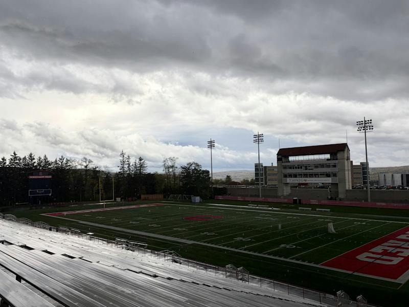 First Snowflakes of Season Could Fly at Coldest Homecoming Since 1993
While Homecoming last year featured sunny skies and temperatures above 80 degrees Fahrenheit, this year may bring Cornell an early taste of winter weather. Temperatures are forecasted to top out in the low 40s, and snow…
-
 FL1 FORECAST: Rain, gusty winds sweep across region before sharp Saturday chill
October 16, 2026 3:36 AM / Staff Report Periods of rain and gusty winds will cross the Finger Lakes and Central New York on Friday, followed by a fast drop in temperatures that could bring a few wet snowflakes to parts…
-
 FL1 FORECAST: Clouds ease Thursday before rain, wind and a sharp Saturday chill
October 15, 2026 4:43 AM / Staff Report Low clouds will gradually give way to brighter intervals across the Finger Lakes and Central New York on Thursday before a fast-moving storm brings widespread rain, gusty winds…
-
 Weekend is heading for a FIRST ALERT on Saturday
WBNG (WBNG) - Aside from a chance of a shower or two early Wednesday, we are looking dry up until a cold front swings in Friday. This cold front will bring rain and some breezy conditions. Behind it, though, blustery…
-
 Dangerous Storm and Gale Warnings Issued for New York, Massachusetts, and the Rest of New England
The nor’easter’s strongest winds are shifting north, with Storm Warnings for waters south of New England, Gale Warnings for Massachusetts and Rhode Island waters, and coastal flooding on Long Island. The storm stays…
-
 Enjoy beautiful autumn weather in New York with sunny skies and temperatures up to 17°C
The Times of India New York, October 21, 2026 Today's weather is characterized by a mostly sunny and breezy day, marking a pleasant autumn shift in climate The temperature is expected to reach a high of 17°C, while…
-
 Freeze alerts stretch from Missouri to New York for Sunday
Temps drop for millions across the Central Plains, Midwest, Northeast The first real taste of fall is settling in for millions, including a few first frosts and freezes of the season for some in the Midwest and East…
Sun & moon
Almanac
MonthlyBinghamton Area, records since 1951. Normals 1991–2020. Data from NOAA's Regional Climate Centers (ACIS).
Nearby
Forecasters' discussion
From the National Weather Service office in BGM, issued 6 hrs ago
What Has Changed
Slightly adjusted some of the temperature and dewpoint values for the next couple of days.
Key Messages
1) High pressure will remain over the region for at least the next week with dry conditions, warm afternoon temperatures, and cool mornings.
Discussion
KEY MESSAGE 1...
The ongoing weather pattern is as uneventful as it gets for our region and for the most part, a persistence forecast was used. In fact, with a very similar setup to last night, tonight's forecast low temperatures were mostly copied over from last night's observed lows with a few minor tweaks around the Lake Plain.
A moisture-starved cold front will move through the area on Thursday, but precipitation is not expected from this front. The only visible impact from this front will be partly sunny to mostly cloudy skies Thursday instead of the abundant sunshine we have seen the last several days, followed by slightly cooler temperatures and a return to abundant sunshine on Friday.
Another weak cold front will move through the area during the Monday/Tuesday timeframe next week, but chances are that this will also be moisture-starved with little to no precipitation.
Aviation
VFR conditions are expected across much of the region through the TAF period with high pressure overhead. With temperatures and dew points expected to be similar to last night, patchy valley fog is likely with temporary IFR/LIFR restrictions at ELM. The timing for restrictions there is based off of persistence the past couple of nights with low clouds/fog breaking around 13Z.
A moisture-starved front moving through the area tomorrow can lead to some scattered clouds and north-northwest winds gusting around 15-20 knots in the afternoon.
Outlook...
Thursday afternoon through Monday...Mainly VFR. Morning fog at KELM possible each morning.
Forecasts, observations and alerts in the United States come from the National Weather Service (NOAA); radar from NOAA's Multi-Radar Multi-Sensor system; satellite imagery from NASA's Global Imagery Browse Services (GIBS) and NOAA's GOES satellites; the map from the U.S. Geological Survey's National Map; air quality from AirNow (EPA and its partners); hurricane information from the National Hurricane Center; climate normals and records from NOAA's Regional Climate Centers (ACIS). Forecasts outside the United States and the UV index: MET Norway (CC BY 4.0); observations outside the U.S.: airport reports via NOAA's Aviation Weather Center. Place names: GeoNames (CC BY 4.0). Data are copied on a schedule and may lag the sources; for warnings that affect your safety, follow your local National Weather Service office and emergency officials. Weather news is drawn from the 4Conservative index and reflects what the press published. Terms of use.