Install
Burlington, VT 05402 Weather
Current conditions
Observed at Burlington, Burlington International Airport · 24 min ago
Forecast
10-day-
Tonight
Patchy fog after 3am. Mostly clear, with a low around 32. North wind around 3 mph.
-
Wednesday
Patchy fog before 7am, then patchy freezing fog between 7am and 8am. Sunny, with a high near 54. North wind 1 to 5 mph.
-
Wednesday Night
Mostly clear, with a low around 35. Northeast wind around 2 mph.
National Weather Service forecast updated 5 hrs ago.
Hourly
Hourly forecast- Now36°
- 1 AM35°
- 2 AM34°
- 3 AM33°
- 4 AM33°
- 5 AM33°
- 6 AM33°
- 7 AM32°
- 8 AM34°
- 9 AM38°
- 10 AM43°
- 11 AM48°
- 12 PM50°
- 1 PM52°
- 2 PM54°
- 3 PM54°
- 4 PM54°
- 5 PM53°
- 6 PM50°
- 7 PM47°
- 8 PM40°
- 9 PM39°
- 10 PM37°
- 11 PM37°
10-day forecast
Details- TonightOct 20Mostly Clear then Patchy Fog32°
- TodayOct 21Patchy Fog then Sunny35°54°
- ThuOct 22Mostly Sunny32°52°
- FriOct 23Sunny30°48°
- SatOct 24Sunny34°54°
- SunOct 25Sunny42°59°
- MonOct 26Mostly Sunny16%39°59°
- TueOct 27Slight Chance Rain Showers then Partly Sunny16%50°
- WedOct 28Cloudy32°42°
- ThuOct 29Partly cloudy33°51°
Days after the National Weather Service's seven are MET Norway's outlook, a computer model with no forecaster's review.
Radar
Full mapWeather news near Burlington
More weather news-
 Winter outlook favors fewer cold days, more ice/mix events
BURLINGTON, Vt. (WCAX) - NOAA’s winter outlook favors warmer-than-normal temperatures and below-normal precipitation across Vermont from December through February. That points to fewer prolonged cold stretches, fewer…
-
 This morning was cold, but the rest of today will be decent with sunny skies and warmer temperatures.
WCAX BURLINGTON, Vt. (WCAX) - The rest of today will be beautiful with sunny skies and much more pleasant weather than Saturday. Highs will be in the 50s, making for a decent end of the weekend. Though the fall foliage…
- A cold start to your Sunday, but the rest of the day will be quite pleasant with sunny skies and warmer temperatures.
It's a cold morning with most locations starting off in the 20s, though it's a bit warmer near the Canadian border due to some cloud cover. Temperatures there are mainly in the 30s. Any morning clouds will move out…
- A cold one tonight with many spots in the 20s, but Sunday will be much more pleasant with sunny skies and highs in the 50s.
WCAX BURLINGTON, Vt. (WCAX) - Tonight will be clear most of the night, then a system in Canada will bring some clouds to northern parts of the region late. This will prevent complete radiational cooling. Even so, it…
-
 Top wind gusts Friday before cold air filters into the region this evening
WCAX Top wind gusts Friday before cold air filters into the region this evening White Cane Awareness Day walk highlights accessibility in Burlington High-risk sex offender set to be released in Vermont Pets with…
-
 Region prepares for first taste of winter
JEFFERSONVILLE, Vt. (WCAX) - As temperatures dip this weekend, heralding the change in seasons, Vermont ski resorts, road crews, state parks, and nonprofits are preparing for the challenges ahead. “Ready for the snow to…
-
 Hyperlocal elevation snow accumulation forecast Friday night into Saturday
BURLINGTON, Vt. (WCAX) - Today’s strong blustery winds and rainfall have tapered a bit and that is due to the passage of a strong cold front. This will be our first significant autumn cold front that brings more…
-
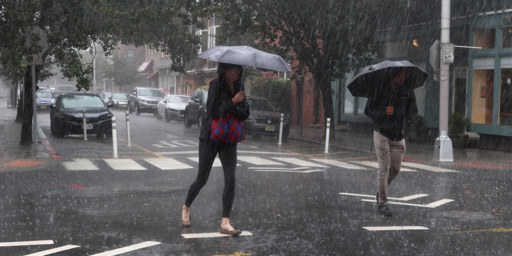 Severe storms to plague the Northern US with persistent rainfall and gusty winds this weekend
🌧️ WEEKEND WASHOUT: FOX Weather Meteorologist Ian Oliver shares an update on the impending wet weather headed for the Northern U.S. as severe storms will bring heavy rain and gusty winds this weekend. A massive cold…
-
 Trudy strengthens to a hurricane as system nears Mexico’s coast with major storm expected
WCAX Trudy was located about 300 miles (480 kilometers) southwest of Acapulco, Mexico, with maximum sustained winds of 75 mph (120 kph), according to the U.S. National Hurricane Center in Miami. The hurricane was moving…
-
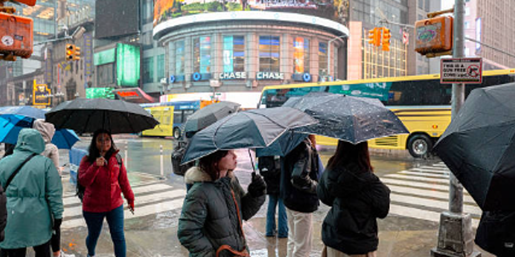 Severe storms threaten Northeast this weekend — where will the heaviest rain fall?
A week of pleasant fall weather will come to a screeching halt this weekend for people in the Northeast U.S. as severe storms bring nasty rain and strong winds. A surge in rainfall and dropping temperatures will arrive…
Air quality
Air quality is satisfactory, and air pollution poses little or no risk.
Forecast
- WedGood (40)
Burlington, VT reporting area · 1 hr ago. Data from AirNow (EPA and its state, local and tribal partners); preliminary and subject to change.
Sun & moon
Almanac
MonthlyBurlington Area, records since 1883. Normals 1991–2020. Data from NOAA's Regional Climate Centers (ACIS).
Nearby
- Plattsburgh 41 km
- South Burlington 8 km
- Colchester 12 km
- Essex Junction 6 km
- Barre 54 km
- Williston 1 km
- Montpelier 45 km
- Winooski 10 km
- Saint Albans 41 km
- Middlebury (village) 48 km
- Morristown 39 km
- Hinesburg 13 km
Forecasters' discussion
From the National Weather Service office in BTV, issued 5 hrs ago
What Has Changed
As of 218 PM EDT Tuesday...
No significant changes to the current forecast.
Key Messages
As of 218 PM EDT Tuesday...
1. Large ridge of surface high pressure will keep conditions dry with seasonable temperatures through late week.
2. Dry and seasonable conditions continue through the beginning of next week.
Discussion
As of 218 PM EDT Tuesday...
KEY MESSAGE 1: Period of dry weather continues for the north country as large ridge of surface high pressure nudges into our area out of Canada. Lots of dry air remains in place, and winds are out of the north following the passage of a weak surface boundary this morning. After afternoon ranging highs ranging through the 50s today, minimum temperatures overnight will dip into the mid 20s to mid 30s, warmest along Lake Champlain where the temperatures will be closer to 40. Ideal radiational cooling conditions, will also lead to some patchy fog developing in the typically fog prone spots. Surface high will retreat to the north and east of our area tomorrow as a Nor'easter meanders off the east coast. Wednesday night a weak cold front will cross our area, bringing colder conditions for Thursday and Friday to close out the work week, with another surface ridge of high pressure building into our area from the northwest. Maximum temperatures on Friday will struggle to get out of the 40s. Winds will also be brisk out of the north, especially on Thursday.
KEY MESSAGE 2: A classic stretch of fall weather will continue this weekend and into the beginning of next week. Surface high pressure will be centered almost directly overhead over the weekend, leading to clear skies, light winds and highs in the 50s. Most mornings will be frosty with lows in the 20s and 30s. A moisture starved cold front moves through Monday and Monday night and while a brief sprinkle or mountain flurry is possible during its passage, it will be pretty much completely dry. Temperatures rise to around 60 Monday, before highs drop back into the 50s and potentially upper 40s for Tuesday.
Aviation
Through 00Z Thursday...Mainly VFR conditions are expected under clear skies. Some fog is possible this evening, given the favorable radiational cooling. However, dry conditions may prevent fog formation. Trends for fog have decreased some, and have thus trended fog in TEMPOs towards 3 or 4SM with the highest probabilities at KMPV and KMSS, with the primary window between 09z-12z. Light and variable flow, with terrain southeasterly winds at KRUT will remain through about 12-14z, and then trend increasingly variable after 14z.
Outlook...
Wednesday Night: VFR. NO SIG WX. Thursday: VFR. NO SIG WX. Thursday Night: VFR. NO SIG WX. Friday: VFR. NO SIG WX. Friday Night: VFR. NO SIG WX. Saturday: VFR. NO SIG WX. Saturday Night: VFR. NO SIG WX. Sunday: VFR. NO SIG WX.
Forecasts, observations and alerts in the United States come from the National Weather Service (NOAA); radar from NOAA's Multi-Radar Multi-Sensor system; satellite imagery from NASA's Global Imagery Browse Services (GIBS) and NOAA's GOES satellites; the map from the U.S. Geological Survey's National Map; air quality from AirNow (EPA and its partners); hurricane information from the National Hurricane Center; climate normals and records from NOAA's Regional Climate Centers (ACIS). Forecasts outside the United States and the UV index: MET Norway (CC BY 4.0); observations outside the U.S.: airport reports via NOAA's Aviation Weather Center. Place names: GeoNames (CC BY 4.0). Data are copied on a schedule and may lag the sources; for warnings that affect your safety, follow your local National Weather Service office and emergency officials. Weather news is drawn from the 4Conservative index and reflects what the press published. Terms of use.