Install
Kagadi, Western Region, Uganda Weather
Current conditions
Forecast for this hour (no station report in the last two hours)
Forecast
10-day-
Saturday
Heavy showers. High 27°. Precipitation 3.7 mm for the day.
-
Saturday Night
Showers. Low 17°. Precipitation 3.7 mm for the day.
-
Sunday
Heavy showers. High 27°. Precipitation 16.7 mm for the day.
MET Norway forecast updated 1 day ago.
Hourly
Hourly forecast- Now22°
- 20:0021°
- 21:0020°
- 22:0020°
- 23:0020°
- Sun00:0019°
- 01:0019°
- 02:0019°
- 03:0019°
- 04:0019°
- 05:0018°
- 06:0017°
- 07:0017°
- 08:0020°
- 09:0023°
- 10:0024°
- 11:0026°0.2
- 12:0027°0.2
- 13:0027°1.4
- 14:0025°3.2
- 15:0023°7.3
- 16:0021°3.4
- 17:0021°1.0
- 18:0021°
Daily forecast
DetailsRadar
Full mapWeather news in Uganda
More weather news- Meteorologists have issued a yellow code for heavy rains on Friday
Nigeria has confirmed its first case of Ebola in the last decade. The patient is the wife of a diplomat who returned from a vacation in Uganda, reports BBC, as quoted by IPN. According to Nigerian authorities, the woman…
-
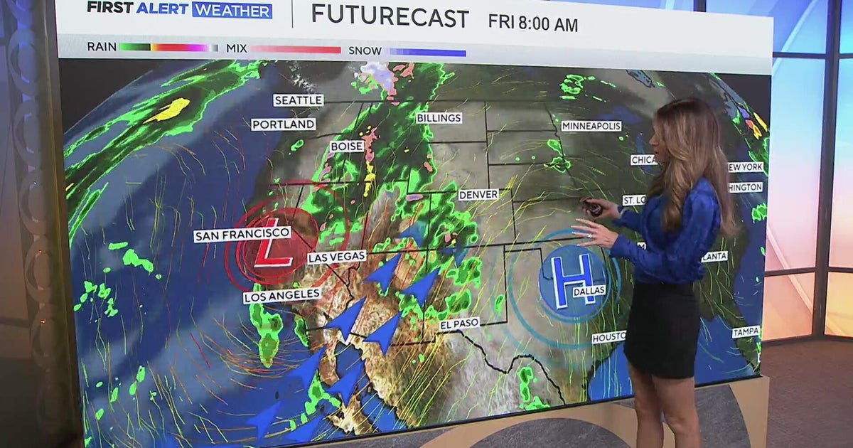 Southwest Colorado braces for heavy rain while dry and warm weather continue for Denver
CBS News Southwest Colorado braces for heavy rain while dry and warm weather continue for Denver I-25 expansion project in Northern Colorado nears completion Ugandan priest released from ICE custody after more than a…
-
 Storm Adam triggers red alerts at Spanish holiday hotspots
Spain’s Mediterranean resorts face red-alert rain and coastal warnings from Storm Adam just days before UK families arrive for October half-term breaks. Key Spanish holiday resorts are facing severe weather alerts as…
-
 As El Niño Returns, East Africa’s Urban Poor Brace for Heavy Rains
Tuesday, October 20, 2026 Tanzania’s vice-president inspects a drainage channel in Dar es Salaam as authorities step up preparations for heavy El Niño rains expected during the October–December rainy season. Credit…
-
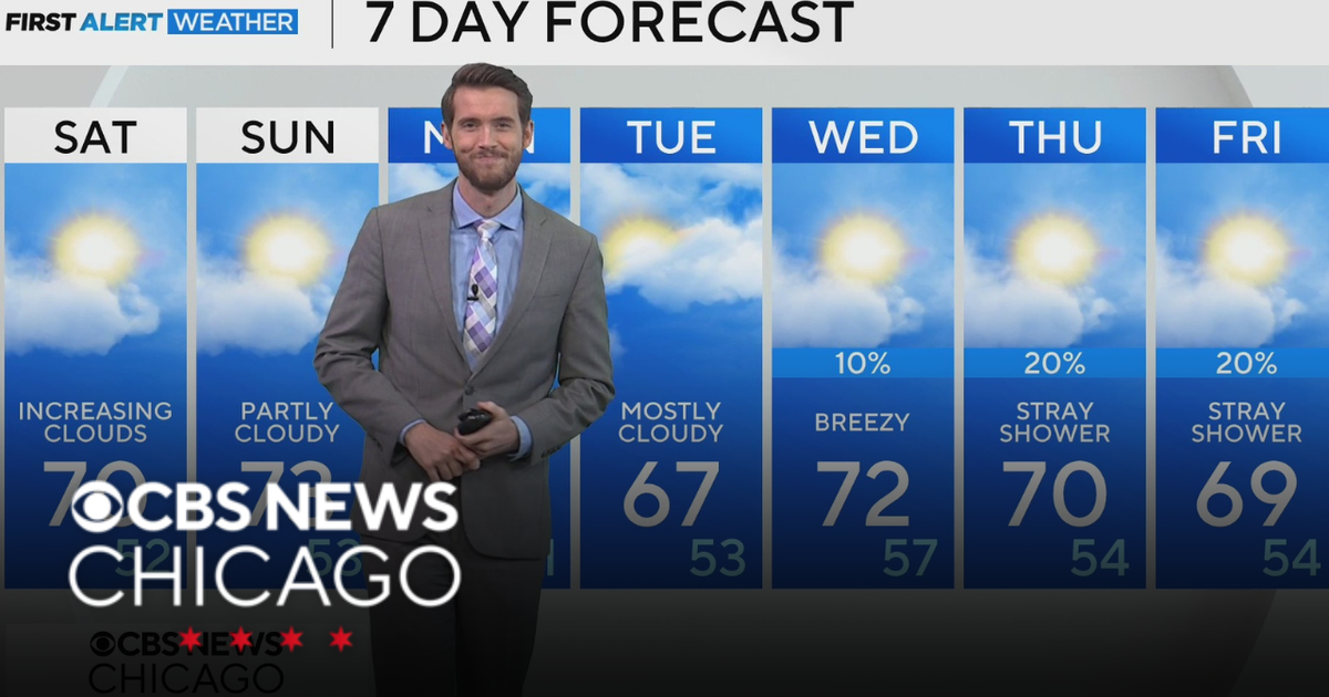 Mild, rain-free day Saturday for Chicago
CBS News Los Angeles Weekend 8am CBS News Miami This Morning 10am CBS News New York Saturday 11am Hometown High Q Classics CBS News Texas 9am
-
 Thousands without power as rain and wind continues
The Met Office issued a yellow weather warning for heavy rain on Saturday Thousands of homes are without power, and disruption is continuing across Devon and Cornwall after more stormy weather. On Friday, Storm Austen…
-
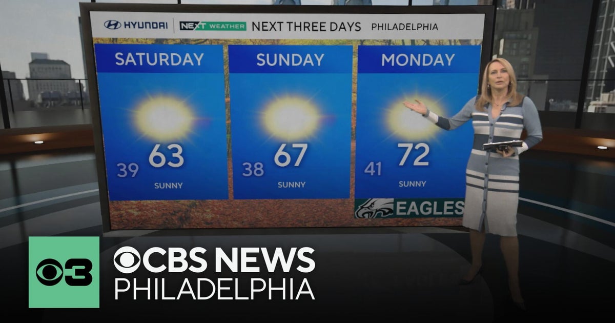 Frosty mornings and sunny days ahead in the Philadelphia area | NEXT Weather
CBS News Bay Area Morning Edition Weekend 7am CBS News Chicago Saturday at 9am CBS Colorado Mornings Weekend CBS News Los Angeles Weekend 7am CBS News Miami This Morning 10am CBS News New York Saturday 10am KDKA News…
-
 Another round of wind and showers Saturday in Minnesota | Oct. 24, 2026
CBS News Bay Area Morning Edition Weekend 6am WBZ This Morning 8am CBS News Chicago Saturday 8am CBS Colorado Mornings Weekend CBS News Los Angeles Weekend 6am CBS News Miami This Morning 9am WCCO News Saturday Morning…
-
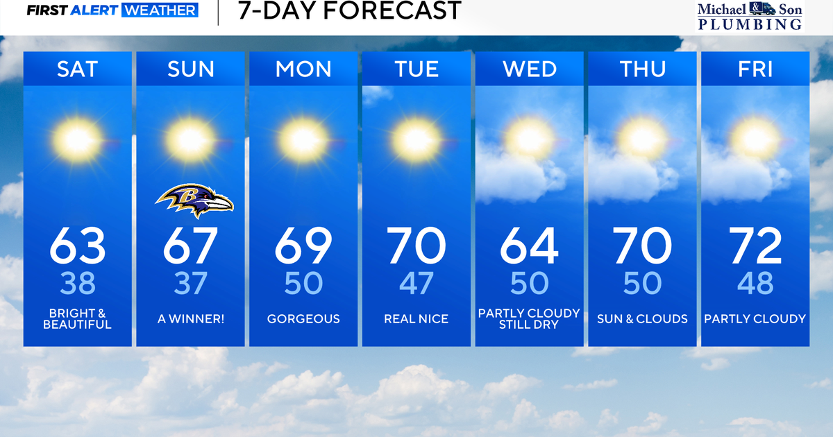 Perfect Fall weather across Maryland this weekend
October 24, 2026 / 9:12 AM EDT / CBS Baltimore The first full dry weekend of October will bring plenty of sunshine and comfortable daytime temperatures in the 60's through the weekend. After frosty mornings through the…
-
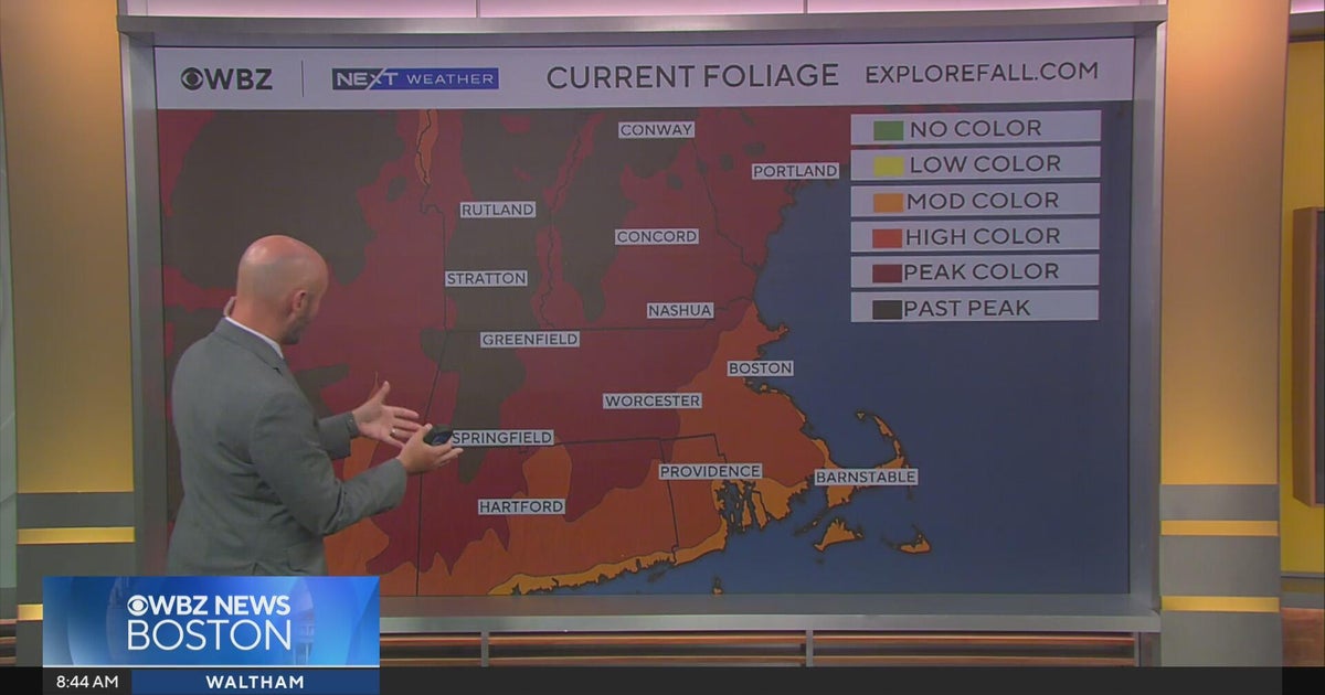 Next Weather: WBZ morning forecast for October 24, 2026
CBS News Bay Area Morning Edition Weekend 6am WBZ This Morning 8am CBS News Chicago Saturday 8am CBS Colorado Mornings Weekend CBS News Los Angeles Weekend 6am CBS News Miami This Morning 9am WCCO News Saturday Morning…
Sun & moon
Nearby
Forecasts, observations and alerts in the United States come from the National Weather Service (NOAA); radar from NOAA's Multi-Radar Multi-Sensor system; satellite imagery from NASA's Global Imagery Browse Services (GIBS) and NOAA's GOES satellites; the map from the U.S. Geological Survey's National Map; air quality from AirNow (EPA and its partners); hurricane information from the National Hurricane Center; climate normals and records from NOAA's Regional Climate Centers (ACIS). Forecasts outside the United States and the UV index: MET Norway (CC BY 4.0); observations outside the U.S.: airport reports via NOAA's Aviation Weather Center. Place names: GeoNames (CC BY 4.0). Data are copied on a schedule and may lag the sources; for warnings that affect your safety, follow your local National Weather Service office and emergency officials. Weather news is drawn from the 4Conservative index and reflects what the press published. Terms of use.