Install
Teofipol, Khmelnytskyi, Ukraine Weather
Current conditions
Forecast for this hour (no station report in the last two hours)
Forecast
10-day-
Thursday
Cloudy. High 15°. Precipitation 4.2 mm for the day.
-
Thursday Night
Heavy rain. Low 10°. Precipitation 4.2 mm for the day.
-
Friday
Rain. High 13°. Precipitation 4.8 mm for the day.
MET Norway forecast updated 1 day ago.
Hourly
Hourly forecast- Now10°
- 08:0011°
- 09:0011°
- 10:0012°
- 11:0012°
- 12:0013°
- 13:0013°
- 14:0014°
- 15:0015°
- 16:0015°
- 17:0015°
- 18:0015°
- 19:0014°0.7
- 20:0013°1.1
- 21:0013°1.2
- 22:0013°0.9
- 23:0013°0.3
- Fri00:0013°0.3
- 01:0013°
- 02:0013°
- 03:0013°0.2
- 04:0012°
- 05:0010°
- 06:009°
Daily forecast
DetailsRadar
Full mapWeather news in Ukraine
More weather news- Poland is switching to standard time: when should Ukrainians set their clocks back?
On the night of Saturday, October 24, through Sunday, October 25, Poland will switch to standard time. Clocks will need to be set back one hour—from 3:00 a.m. to 2:00 a.m. The time change is carried out in accordance…
-
 Heavy Rain and Thunderstorms Expected Across Western Bulgaria on Thursday
A yellow weather warning has been issued for eight regions in western Bulgaria for Thursday, October 22, as heavy rain and thunderstorms are expected with the approach of a cold front, according to the forecast. Cloud…
-
 Latest Forecast with Chief Meteorologist Mike LaPoint
A quiet weather pattern is expected to continue through the week across North and Central Texas. High temperatures will steadily climb into the mid 80s with only some passing high clouds. No significant rain chances are…
-
 The Daily Cartoon and Live Briefing: Monday, October 19, 2026
October 19, 2026 | FlaglerLive | 8 Comments Weather: A 30 percent chance of showers, mainly after 2pm. Mostly sunny, with a high near 73. Windy. Monday Night: A 30 percent chance of showers, mainly before 8pm. Partly…
- Ukraine is switching to standard time; when to change the clock
On the night of Saturday, October 24, to Sunday, October 25, Ukraine is set to switch to standard time. At 4:00 a.m., clocks will need to be set back one hour to 3:00 a.m. Although the Verkhovna Rada approved the…
-
 Weather alert: Rain, lightning, hail, and storms in Moldova
Meteorologists issued a Yellow Code for Atmospheric Instability for Wednesday, August 6. The warning is in effect for the northern and central regions of the Republic of Moldova. Heavy rainfall, lightning, hail, and…
-
 Moldova Braces for Cold Snap & Heavy Rain
Moldovan temperatures will reach a maximum of 11 degrees Celsius (51.8 degrees Fahrenheit) on Thursday, April 18, according to meteorologists. Nighttime lows will dip down to 4 degrees Celsius (39.2 degrees Fahrenheit)…
-
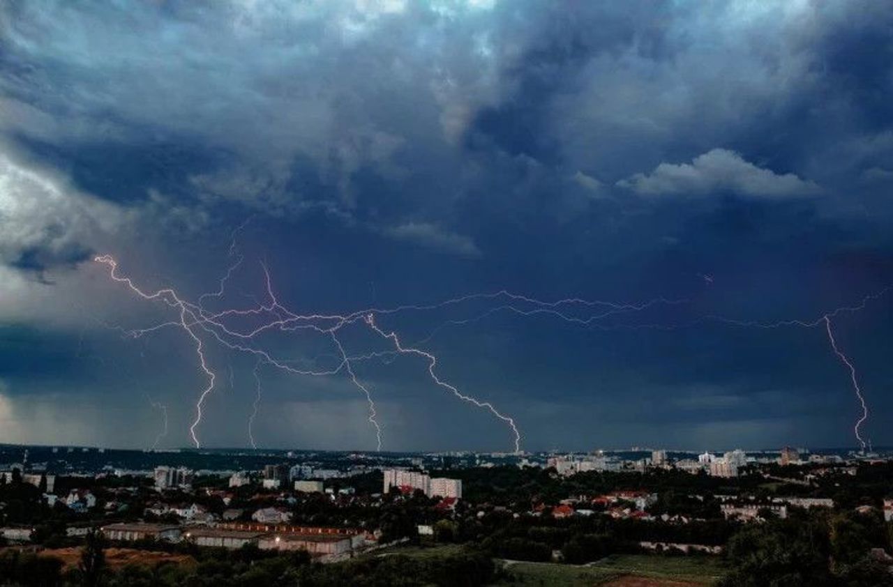 Heavy rainfall forecast for Moldova on June 2
Meteorologists issued a Code Yellow warning for heavy rain, valid for June 2, from 08:00 to 23:00. Showers, lightning, and strong winds are expected in some areas, with gusts of 15–20 m/s. The Meteorology and…
-
 Moldova issues nationwide yellow alert for heavy rainfall
Moldova’s weather authorities issued a nationwide yellow warning on Sunday, forecasting heavy rainfall across the country with accumulations reaching up to 49 liters per square meter. Twenty-four hour weather warning…
- Up to +18° during the day, but with rain — the weather forecast for October 19
UA.NEWS Up to +18° during the day, but with rain — the weather forecast for October 19 On Monday, October 19, it will be cloudy and rainy in Ukraine. Significant precipitation is possible overnight in some central…
Sun & moon
Nearby
- Shepetivka 60 km
- Netishyn 57 km
- Slavuta 60 km
- Starokostyantyniv 58 km
- Kremenets 57 km
- Krasyliv 45 km
- Volochysk 37 km
- Iziaslav 43 km
- Ostroh 55 km
- Zbarazh 50 km
- Lanivtsi 24 km
- Pidvolochysk 40 km
Forecasts, observations and alerts in the United States come from the National Weather Service (NOAA); radar from NOAA's Multi-Radar Multi-Sensor system; satellite imagery from NASA's Global Imagery Browse Services (GIBS) and NOAA's GOES satellites; the map from the U.S. Geological Survey's National Map; air quality from AirNow (EPA and its partners); hurricane information from the National Hurricane Center; climate normals and records from NOAA's Regional Climate Centers (ACIS). Forecasts outside the United States and the UV index: MET Norway (CC BY 4.0); observations outside the U.S.: airport reports via NOAA's Aviation Weather Center. Place names: GeoNames (CC BY 4.0). Data are copied on a schedule and may lag the sources; for warnings that affect your safety, follow your local National Weather Service office and emergency officials. Weather news is drawn from the 4Conservative index and reflects what the press published. Terms of use.