Install
New Taipei City, Taipei, Taiwan Weather
Current conditions
Observed at Taipei/Songshan Arpt · 1 hr ago
Forecast
10-day-
Monday Night
Partly cloudy. Low 21°.
-
Tuesday
Fog. High 26°. Precipitation 0.8 mm for the day.
-
Tuesday Night
Light showers. Low 20°. Precipitation 0.8 mm for the day.
MET Norway forecast updated 3 hrs ago.
Hourly
Hourly forecast- Now21°
- 23:0021°
- Tue00:0021°
- 01:0021°
- 02:0021°
- 03:0021°
- 04:0020°
- 05:0020°
- 06:0020°
- 07:0021°
- 08:0024°
- 09:0025°
- 10:0025°
- 11:0026°
- 12:0026°
- 13:0026°
- 14:0025°
- 15:0024°
- 16:0024°
- 17:0023°
- 18:0023°
- 19:0022°
- 20:0022°
- 21:0021°0.2
10-day forecast
DetailsRadar
Full mapWeather news near New Taipei City
More weather news-
 Severe storm Champi approaching western Japan
Severe tropical storm Champi is expected to veer eastward on Sunday afternoon before approaching western Japan. As of 6 p.m. on Saturday, the storm was located around Okinawa Prefecture, southwest of Japan's main…
-
 Strike a pose
Taipei Times - All Front Page Taiwan News Business Editorial & Opinion Sports World News Features Bilingual Pages New Taipei City Mayor Hou You-yi at an event yesterday in New Taipei City announcing the details of this…
-
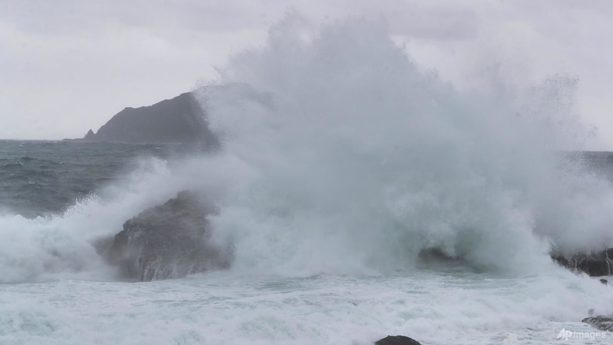 Taiwan shuts down ahead of Typhoon Champi, hundreds of flights cancelled
TAIPEI: Almost all of Taiwan shut down on Friday (Oct 23) ahead of the arrival of Typhoon Champi, which is forecast to bring strong winds and torrential rain, though the storm is weakening and is not expected to make…
- Taiwan shuts down ahead of weakening Typhoon Champi, hundreds of flights cancelled
TAIPEI, Oct 23 (Reuters) – Almost all of Taiwan shut down on Friday ahead of the arrival of Typhoon Champi, which is forecast to bring strong winds and torrential rain, though the storm is weakening and is not…
-
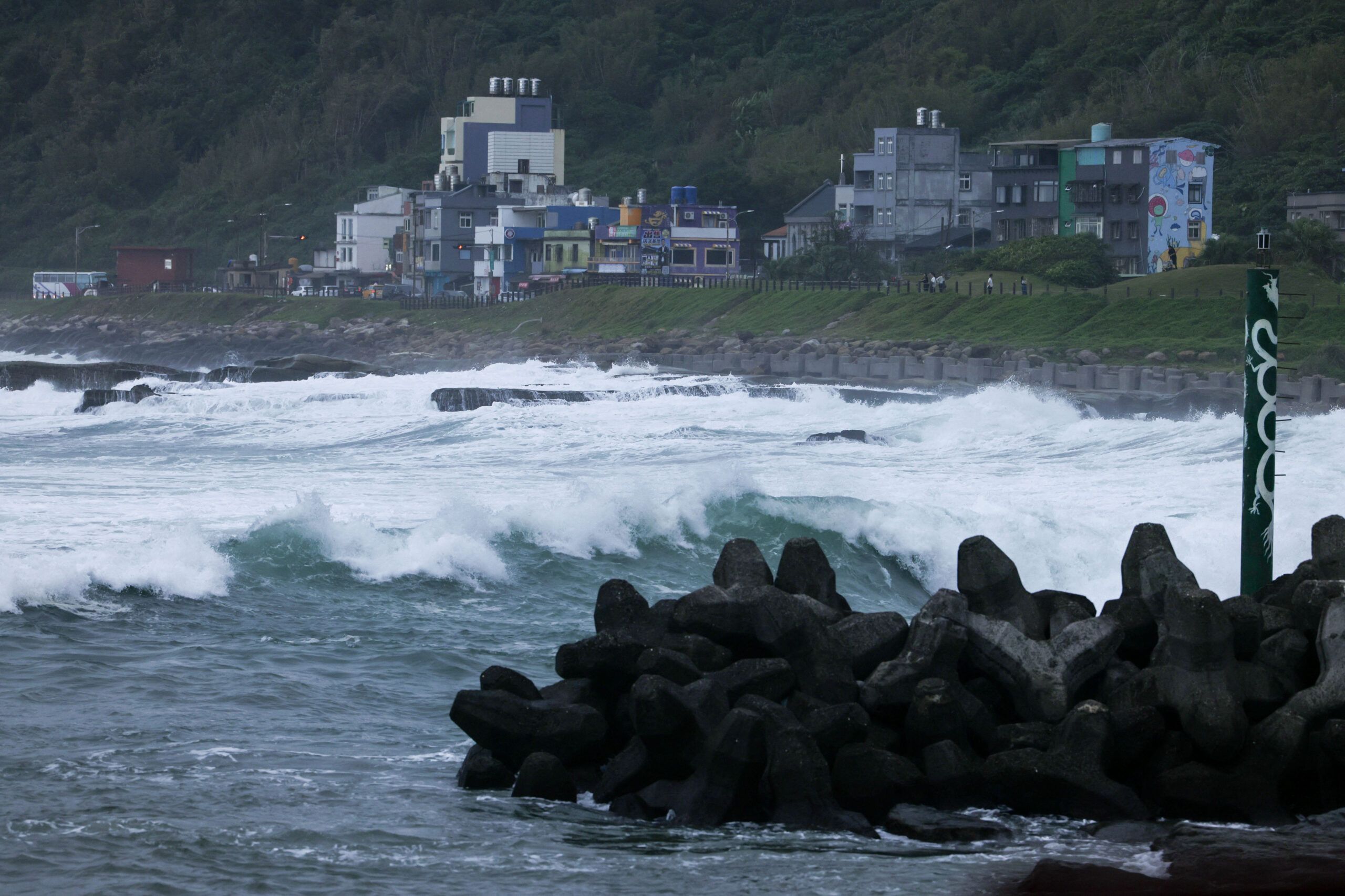 Taiwan Halts Stock Trade, Shuts Schools as Typhoon Champi Nears
Taiwan will suspend trading on its stock exchange and shut schools in most areas on Friday as Typhoon Champi approaches the island, disrupting flights and threatening heavy rainfall. Champi is currently 713 kilometers…
- Taiwan issues land warning ahead of arrival of powerful Typhoon Champi
A close up of the eye of Typhoon Champi swirling over the Philippine Sea, as seen from space on Oct 21, 2026 in a screengrab. (Image: CSU/CIRA and JMA/JAXA/Handout via Reuters) TAIPEI: Taiwan issued a land warning on…
-
 Super Typhoon Champi Path: Will It Hit Taiwan? Forecast, Wind Speed, Warnings And Safety Measures
Super Typhoon Champi is moving across the western North Pacific towards waters east of Taiwan, raising concerns about heavy rainfall, powerful winds and possible travel disruptions. However, the latest forecasts suggest…
-
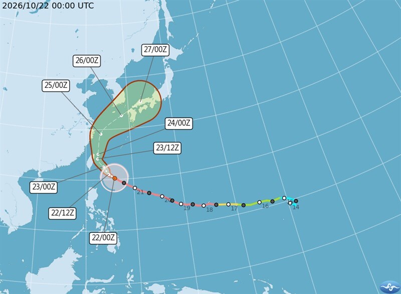 Taiwan issues land warning as Typhoon Champi approaches
The Central Weather Administration (CWA) today issued a land warning for Typhoon Champi, which is expected to bring heavy rain and strong winds to Taiwan through Saturday. As of 11am, Champi was centered about 520km…
-
 Cold snap grips Korea as temperatures plunge, with first frost and ice reported
A sharp drop in temperatures arrived Thursday, while Typhoon Champi could bring rain and strong winds to southern waters this weekend. A brief cold snap brought the season’s first frost to parts of Korea on Thursday…
-
 Stunning photos capture October's Hunter's Moon around the world
A good view for the passengers of this plane flying over San Francisco Bay in California, US The October full Moon lit up skies around the world this weekend. Full Moons throughout the year have traditionally been given…
Sun & moon
Nearby
Forecasts, observations and alerts in the United States come from the National Weather Service (NOAA); radar from NOAA's Multi-Radar Multi-Sensor system; satellite imagery from NASA's Global Imagery Browse Services (GIBS) and NOAA's GOES satellites; the map from the U.S. Geological Survey's National Map; air quality from AirNow (EPA and its partners); hurricane information from the National Hurricane Center; climate normals and records from NOAA's Regional Climate Centers (ACIS). Forecasts outside the United States and the UV index: MET Norway (CC BY 4.0); observations outside the U.S.: airport reports via NOAA's Aviation Weather Center. Place names: GeoNames (CC BY 4.0). Data are copied on a schedule and may lag the sources; for warnings that affect your safety, follow your local National Weather Service office and emergency officials. Weather news is drawn from the 4Conservative index and reflects what the press published. Terms of use. How to use Weather