Install
Kale, Denizli, Türkiye Weather
Current conditions
Forecast for this hour (no station report in the last two hours)
Forecast
10-day-
Wednesday Night
Partly cloudy. Low 11°.
-
Thursday
Partly cloudy. High 22°.
-
Thursday Night
Clear. Low 10°.
MET Norway forecast updated 4 hrs ago.
Hourly
Hourly forecast- Now12°
- 22:0011°
- 23:0011°
- Thu00:0010°
- 01:0010°
- 02:0010°
- 03:0010°
- 04:0010°
- 05:0010°
- 06:0010°
- 07:0010°
- 08:0011°
- 09:0015°
- 10:0018°
- 11:0019°
- 12:0021°
- 13:0022°
- 14:0022°
- 15:0022°
- 16:0021°
- 17:0019°
- 18:0016°
- 19:0015°
- 20:0014°
10-day forecast
DetailsRadar
Full mapWeather news near Kale
More weather news-
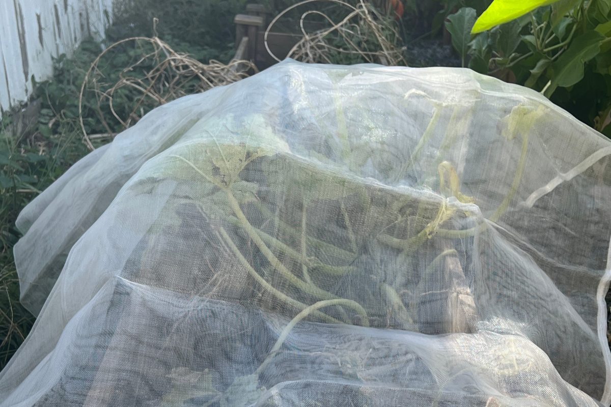 A simple row cover can save veggies as frost threatens
Most of my summer vegetables are winding down now, the cooling temperatures serving as a cue that their mission has been nearly accomplished. But if frost threatens before the last of my tomatoes have turned red, I’ll…
-
 Istanbul is among them too! New warning for many provinces, rains are coming again
The Ministry of Interior issued a severe shower warning across the country, especially in Istanbul. It was reported that the rainfall, expected to increase in effect starting from tomorrow noon, will be very strong…
-
 Backyard Gardener: Hard frost marks end of growing season
Hello Mid-Ohio Valley Farmers and Gardeners! Most likely we will say goodbye to the growing season this weekend in the Valley as frost is in the forecast. Any late squash, tomatoes or other vegetables need to be…
-
 Preparing your garden for the first freeze of the year
CEDAR RAPIDS, Iowa — We’re going to see our first taste of winter Friday night, where temperatures could drop to freezing. For sensitive plants and gardens, action should be taken before the first frost or freeze to…
-
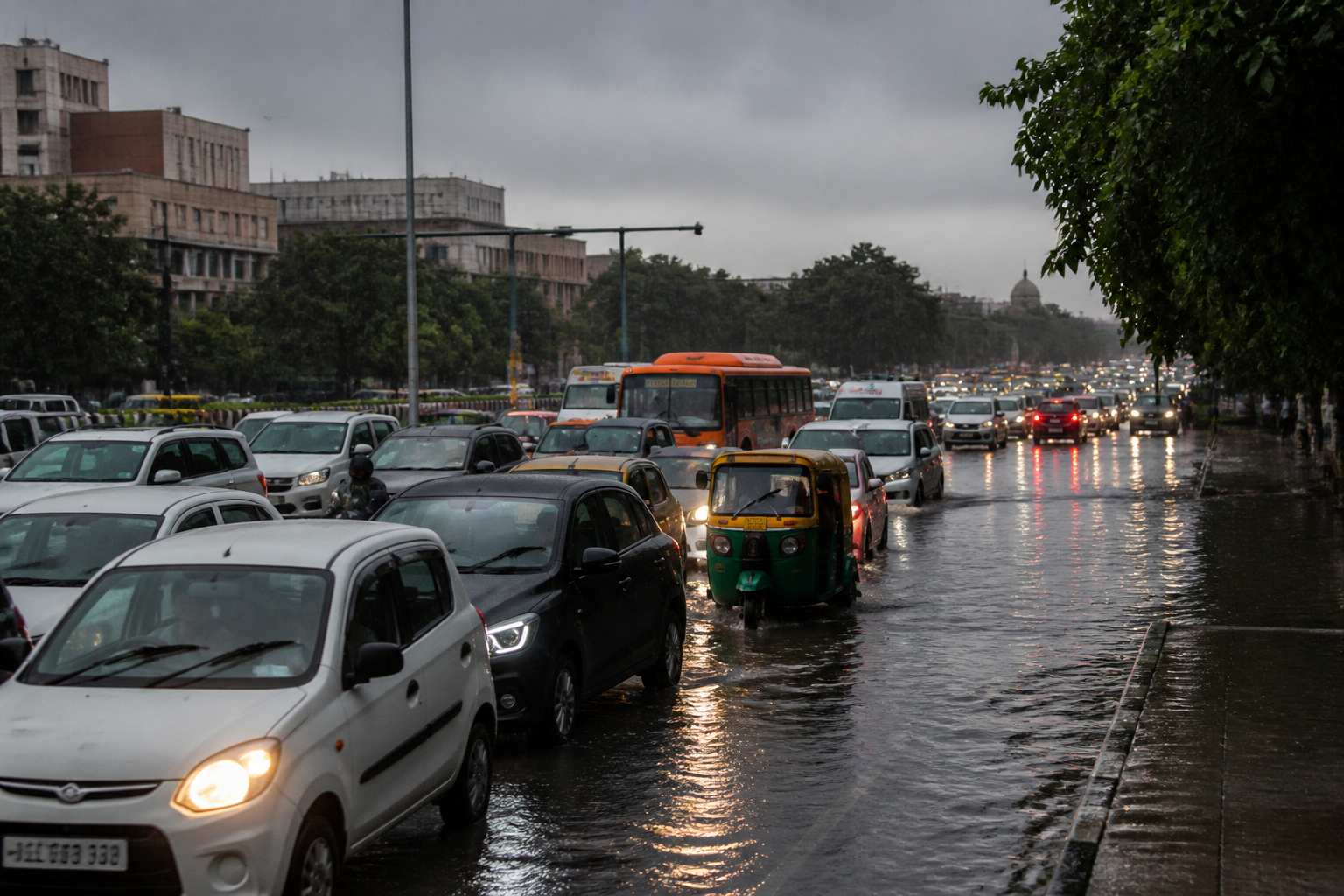 Delhi Rain Paralyses Key Roads as Red Alert Keeps Traffic Crawling
Heavy rain brought traffic across Delhi to a crawl on Thursday, with waterlogging and packed junctions disrupting movement from India Gate and ITO to Mandi House, south Delhi, Model Town and Okhla Phase 1 as the India…
- Preparing your plants for potential frost this weekend
LEXINGTON, Ky. (WKYT) - Temperatures might be pretty warm right now but believe it or not, frost is likely this weekend. This means for those summer plants, it’s about time to bring them inside. “Any of your tender…
-
 Heavy rain brings traffic to a crawl across Delhi
New Delhi: Heavy rain threw traffic out of gear across several parts of Delhi on Thursday, with junctions packed with vehicles and chaos on several roads due to waterlogging. From India Gate and ITO to Mandi House and…
-
 Rain lashes Delhi, mercury dips to 28.3 degrees Celsius; traffic snarls reported
New Delhi, October 15 (PTI) Rain and gusty winds swept across Delhi on Thursday, bringing the maximum temperature at Safdarjung down to 28.3 degrees Celsius, the lowest so far this month, while waterlogging and traffic…
-
 Heavy rain brings traffic to a crawl across Delhi, commuters stranded
New Delhi, Oct 15 (PTI) Heavy rain threw traffic out of gear across several parts of Delhi on Thursday, with junctions packed with vehicles and chaos on several roads due to waterlogging. From India Gate and ITO to…
-
 First frost approaching: How to protect your garden
Jennifer Friend said heavy frosts will result in dead plants, and that harvesting or using a row cover can help gardeners avoid spent plants. Jennifer Friend is the Agriculture and Natural Resources agent with Harrison…
Sun & moon
Nearby
Forecasts, observations and alerts in the United States come from the National Weather Service (NOAA); radar from NOAA's Multi-Radar Multi-Sensor system; satellite imagery from NASA's Global Imagery Browse Services (GIBS) and NOAA's GOES satellites; the map from the U.S. Geological Survey's National Map; air quality from AirNow (EPA and its partners); hurricane information from the National Hurricane Center; climate normals and records from NOAA's Regional Climate Centers (ACIS). Forecasts outside the United States and the UV index: MET Norway (CC BY 4.0); observations outside the U.S.: airport reports via NOAA's Aviation Weather Center. Place names: GeoNames (CC BY 4.0). Data are copied on a schedule and may lag the sources; for warnings that affect your safety, follow your local National Weather Service office and emergency officials. Weather news is drawn from the 4Conservative index and reflects what the press published. Terms of use.