Install
Phra Nakhon Si Ayutthaya, Thailand Weather
Current conditions
Forecast for this hour (no station report in the last two hours)
Forecast
10-day-
Tuesday
Rain. High 31°. Precipitation 4.2 mm for the day.
-
Tuesday Night
Showers. Low 24°. Precipitation 4.2 mm for the day.
-
Wednesday
Sunny. High 32°. Precipitation 0.2 mm for the day.
MET Norway forecast updated 5 days ago.
Daily forecast
DetailsRadar
Full mapWeather news near Phra Nakhon Si Ayutthaya
More weather news- TMD forecasts heavy rain in 3 Thai regions on October 17, with wider downpours expected on October 21–25
The Thai Meteorological Department (TMD) warned at 5am Thailand time on October 17, 2026, of isolated heavy rain in three regions: Central, Eastern and Southern Thailand. The next 24 hours bring risks of flash floods…
- Heavy rain and gusty winds put three Thai regions on flood alert
The Thai Meteorological Department (TMD) has warned of heavy rain and gusty winds across parts of Central, Eastern and Southern Thailand, with accumulated rainfall raising the risk of flash floods, run-off and…
- Bangkok and three regions face 60% thundershower coverage
The Thai Meteorological Department (TMD) warned on October 16, 2026, of isolated heavy rain and flash-flood risks in the lower North, Central region, East and South. Thundershowers are forecast over 60% of Bangkok and…
- TMD forecasts rain over 60% of Bangkok and nearby areas on October 15–16
The Thai Meteorological Department (TMD) forecasts thundershowers over 60% of Bangkok and surrounding areas for the 24 hours from 6am on October 15, 2026, to 6am on October 16, Thai time. The department also warns of…
- Rain forecast for 70% of central Thailand on October 14
The Thai Meteorological Department (TMD) warned on October 14, 2026, of isolated heavy rain and flash-flood risks in parts of Thailand, with thundershowers forecast over 70% of the Central region. The outlook covers the…
- What is Cyclone Arnab? How storms get their names and why they intensify over the Bay of Bengal | Explained
Cyclone Arnab, which formed over the Bay of Bengal, is expected to cross the Andhra Pradesh and Yanam coasts between Bapatla and Visakhapatnam by the forenoon of October 28, according to the India Meteorological…
- Cyclone Arnab Name's Meaning Revealed: It Wasn’t Originally Given By IMD, ISRO, Govt, But By…, How Are Cyclones Named in India?
Cyclone Arnab, which developed over the Bay of Bengal today, is intensifing and heading towards the Andhra Pradesh coast, with the India Meteorological Department (IMD) issuing a red-level cyclone warning for Andhra…
-
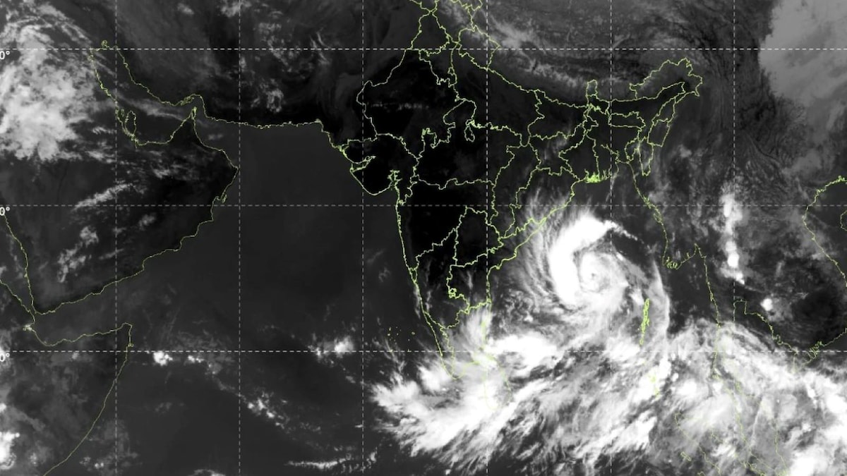 Cyclone Arnab: Who gave the name and how Andhra, Odisha governments are preparing for it
Cyclone Arnab intensified over the Bay of Bengal on October 26, with the India Meteorological Department (IMD) forecasting that the storm will move towards the Andhra Pradesh coast and could make landfall on October 28…
-
 Cyclone Arnab: Deep Depression Intensifies Into Cyclonic Storm; Check Origin Of Name And Meaning As Tamil Nadu Rains Continue
The state government of Odisha has become more prepared to handle the potential effects of the approaching Cyclone Arnab, which will have to be achieved by having zero casualty rate set as a goal by chief minister Mohan…
-
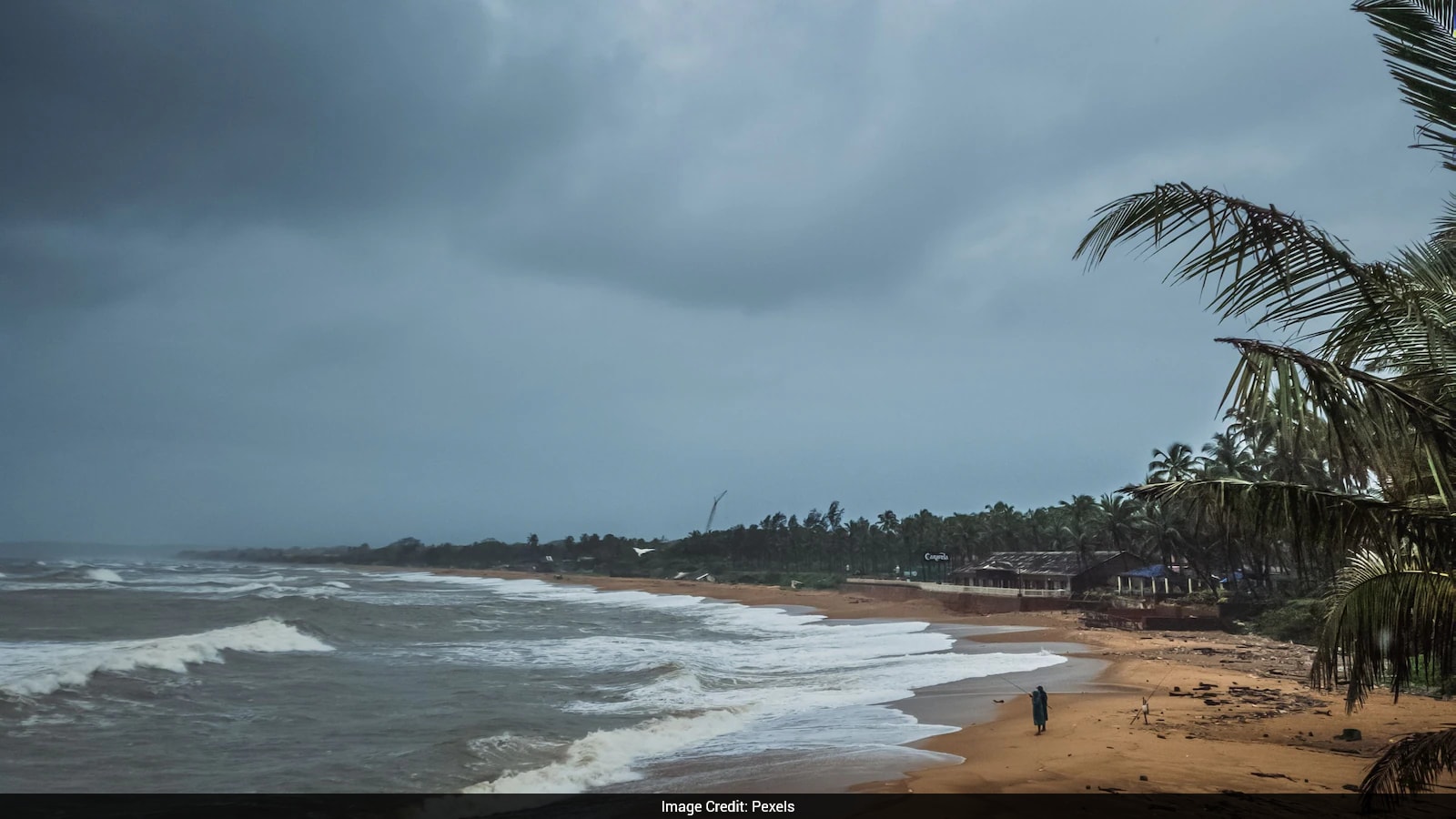 Cyclone Arnab: Origin Of The Name And What You Need To Know
Cyclones can bring strong winds, heavy rainfall and flooding, making it important for states in their expected path to prepare in advance. As Cyclone Arnab approaches the eastern coast of India, Odisha and Andhra…
Sun & moon
Nearby
- Mueang Nonthaburi 55 km
- Pak Kret 50 km
- Sai Mai 48 km
- Khlong Sam Wa 56 km
- Chatuchak 58 km
- Khlong Luang 33 km
- Lak Si 52 km
- Khan Na Yao 59 km
- Saraburi 42 km
- Ban Lam Luk Ka 47 km
- Lop Buri 50 km
- Phra Phutthabat 48 km
Forecasts, observations and alerts in the United States come from the National Weather Service (NOAA); radar from NOAA's Multi-Radar Multi-Sensor system; satellite imagery from NASA's Global Imagery Browse Services (GIBS) and NOAA's GOES satellites; the map from the U.S. Geological Survey's National Map; air quality from AirNow (EPA and its partners); hurricane information from the National Hurricane Center; climate normals and records from NOAA's Regional Climate Centers (ACIS). Forecasts outside the United States and the UV index: MET Norway (CC BY 4.0); observations outside the U.S.: airport reports via NOAA's Aviation Weather Center. Place names: GeoNames (CC BY 4.0). Data are copied on a schedule and may lag the sources; for warnings that affect your safety, follow your local National Weather Service office and emergency officials. Weather news is drawn from the 4Conservative index and reflects what the press published. Terms of use. How to use Weather