Install
Lat Yao, Nakhon Sawan, Thailand Weather
Current conditions
Forecast for this hour (no station report in the last two hours)
Forecast
10-day-
Thursday
Heavy showers. High 32°. Precipitation 2.5 mm for the day.
-
Thursday Night
Partly cloudy. Low 24°. Precipitation 2.5 mm for the day.
-
Friday
Light showers. High 33°. Precipitation 0.6 mm for the day.
MET Norway forecast updated 1 day ago.
Hourly
Hourly forecast- Now27°
- 21:0026°
- 22:0026°
- 23:0026°
- Fri00:0026°
- 01:0026°
- 02:0026°
- 03:0025°
- 04:0025°
- 05:0025°
- 06:0025°
- 07:0025°
- 08:0027°
- 09:0029°
- 10:0030°0.2
- 11:0031°0.2
- 12:0032°
- 13:0032°
- 14:0032°
- 15:0033°
- 16:0032°
- 17:0032°
- 18:0030°
- 19:0029°
Daily forecast
DetailsRadar
Full mapWeather news in Thailand
More weather news-
 Where It Gets Coldest in Northern Thailand
Home - Weather - Where It Gets Coldest in Northern Thailand The coldest conditions in Northern Thailand are usually found on high mountain peaks and exposed ridges, not in the cities below. Doi Inthanon, Doi Ang Khang…
-
 Winter Fog on Northern Thailand Roads: How to Stay Safe
Home - Automotive - Winter Fog on Northern Thailand Roads: How to Stay Safe CHIANG RAI – A clear northern road can vanish into winter fog in seconds, leaving little time to spot a curve, stopped traffic, or a hazard…
- Thailand monitors Typhoon Champi as Taiwan travellers warned
The Thai Meteorological Department (TMD) is monitoring Typhoon Champi and has advised travellers heading to Taiwan from October 21 to 24 to closely follow weather and flight updates as the storm approaches the island…
- Thailand's reservoirs 82% full before heavy rain on October 21–24
Thailand’s large and medium-sized reservoirs held 66,728 million cubic metres of water, equivalent to 82% of storage capacity, according to an Office of the National Water Resources (ONWR) report dated October 19, 2026…
-
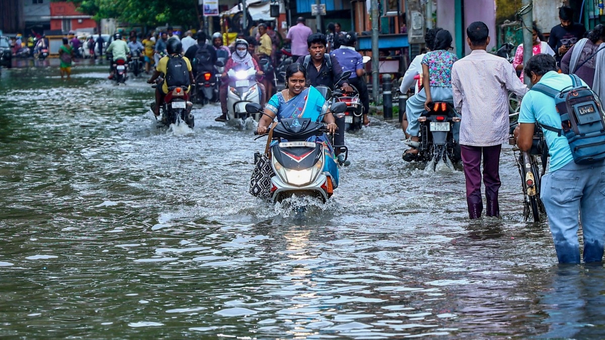 More rain and storms to hit states in South India. Read latest forecast here
Heavy to very heavy rainfall is likely in parts of Tamil Nadu, Puducherry, Karaikal, Kerala and Mahe on Thursday, October 22, as rain activity continues across southern India, according to the India Meteorological…
- Thailand faces heavy rain and flood risks until October 25
The Thai Meteorological Department (TMD) issued its seventh heavy-rain warning on Tuesday (October 20, 2026), alerting parts of Thailand to heavy to very heavy downpours through October 25. The warning also forecasts…
-
 IMD forecasts heavy rainfall in South India for next 5 days
Hyderabad: The India Meteorological Department (IMD) has forecast heavy to very heavy rainfall across several parts of South India over the next five days due to a low-pressure area formed over the southwest Bay of…
-
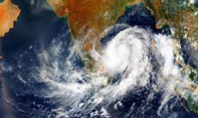 Fresh Low-Pressure System Brewing in Bay of Bengal: East Coast on Alert
Home » Fresh Low-Pressure System Brewing in Bay of Bengal: East Coast on Alert The Indian subcontinent is bracing for a complex weather pattern as twin meteorological systems dominate the Bay of Bengal. While a…
-
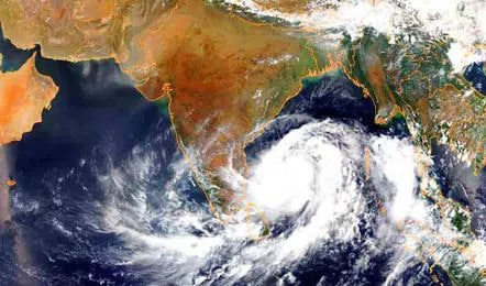 Low-Pressure Area Likely Over Bay of Bengal Around October 23
Home » Low-Pressure Area Likely Over Bay of Bengal Around October 23 The India Meteorological Department (IMD) has issued a weather update indicating the potential development of a fresh cyclonic system in the Bay of…
-
 Very heavy rain likely in Tamil Nadu; Kerala, Karnataka also under heavy rain watch
Very heavy rain is likely in Tamil Nadu, Puducherry and Karaikal on Wednesday, October 21, as a low-pressure area is expected to form over the southwest Bay of Bengal and adjoining Tamil Nadu coast within the next 24…
Sun & moon
Nearby
- Nakhon Sawan 38 km
- Uthai Thani 48 km
- Khanu Woralaksaburi 35 km
- Thap Than 34 km
- Lan Sak 40 km
- Phayuha Khiri 50 km
- Huai Khot 54 km
- Kao Liao 33 km
- Bueng Na Rang 59 km
Forecasts, observations and alerts in the United States come from the National Weather Service (NOAA); radar from NOAA's Multi-Radar Multi-Sensor system; satellite imagery from NASA's Global Imagery Browse Services (GIBS) and NOAA's GOES satellites; the map from the U.S. Geological Survey's National Map; air quality from AirNow (EPA and its partners); hurricane information from the National Hurricane Center; climate normals and records from NOAA's Regional Climate Centers (ACIS). Forecasts outside the United States and the UV index: MET Norway (CC BY 4.0); observations outside the U.S.: airport reports via NOAA's Aviation Weather Center. Place names: GeoNames (CC BY 4.0). Data are copied on a schedule and may lag the sources; for warnings that affect your safety, follow your local National Weather Service office and emergency officials. Weather news is drawn from the 4Conservative index and reflects what the press published. Terms of use.