Install
Deir ez-Zor, Syria Weather
Current conditions
Forecast for this hour (no station report in the last two hours)
Forecast
10-day-
Tuesday
Partly cloudy. High 30°. Precipitation 0.5 mm for the day.
-
Tuesday Night
Rain. Low 18°. Precipitation 0.5 mm for the day.
-
Wednesday
Heavy rain. High 23°. Precipitation 10.9 mm for the day.
MET Norway forecast updated 13 hrs ago.
Hourly
Hourly forecast- Now20°
- 05:0019°
- 06:0018°
- 07:0018°
- 08:0020°
- 09:0023°
- 10:0025°
- 11:0027°
- 12:0028°
- 13:0029°
- 14:0029°
- 15:0030°
- 16:0030°
- 17:0029°
- 18:0027°0.3
- 19:0025°0.2
- 20:0024°
- 21:0023°
- 22:0022°
- 23:0022°
- Wed00:0022°
- 01:0021°0.2
- 02:0021°
- 03:0021°
Daily forecast
DetailsRadar
Full mapWeather news in Syria
More weather news- New Dust Wave Expected From Saturday as Rain Prospects Remain Uncertain
A new dust episode is expected to reach Cyprus from Saturday, with increased concentrations likely to persist throughout the weekend before gradually easing from Monday, according to officials from the Meteorological…
- Dust from Lebanon to hit Cyprus over coming days
Dust from Syria and Lebanon is reaching Cyprus this week, with more episodes expected in the coming days. Met office spokesman Andreas Chrysanthou said that it was unusual to see dust this often at this time of year…
-
 Summer recap: The Big Country’s summer of relentless triple-digit heat
BIG COUNTRY, Texas (KTAB/KRBC) – The summer of 2026 is one the Big Country won't soon forget, thanks to relentless heat that baked the region, especially from August through mid-September. Abilene recorded its first…
-
 New weather warnings as third storm set to hit Scotland
Two new weather warnings have been issued as a third storm in a matter of days is set to batter Scotland. It comes as thousands of homes across the country remain without power in the aftermath of Storm Boelo. A yellow…
-
 Woodbury BMX racer dominating the competition at 14
CBS News Minnesota is a local news organization that is part of CBS News and Stations. Also referred to as WCCO-TV and channel 4, CBS News Minnesota offers local breaking news, weather coverage and investigative…
-
 Why some Minnesotans will pay more for health insurance in 2027
The high cost of healthcare is hitting Minnesotans hard. The issue is top of mind for many voters just eight days before the midterm elections. Caroline Cummings has more on the double-digit increases some could face in…
-
 64% in U.S. say AI is developing too fast. An AI strategist says candidates aren’t addressing it.
Dan Mallin of the AI consultancy Magnetive says none of the candidates he has seen are taking a stand on AI governance. He says he supports embracing the technology but wants guardrails at every level, including…
-
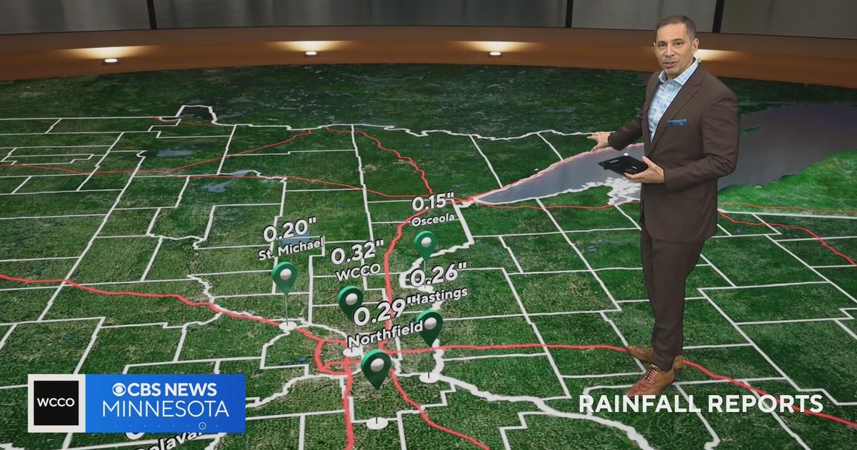 Minnesota weather on Halloween: a few light showers, but not a washout, and mild
CBS News Minnesota is a local news organization that is part of CBS News and Stations. Also referred to as WCCO-TV and channel 4, CBS News Minnesota offers local breaking news, weather coverage and investigative…
-
 WCCO digital headlines: Afternoon of Oct. 26, 2026
CBS News Minnesota is a local news organization that is part of CBS News and Stations. Also referred to as WCCO-TV and channel 4, CBS News Minnesota offers local breaking news, weather coverage and investigative…
-
 Farmers’ Almanac Predicts Thanksgiving Weather Forecast
Oct 26, 2026 at 12:16 PM EDT The Farmers’ Almanac has predicted that weather across the U.S. will be fairly typical of late November over Thanksgiving week, with a mix of cool and mild conditions, snow possible in some…
Sun & moon
Nearby
- Al Mayādīn 45 km
Forecasts, observations and alerts in the United States come from the National Weather Service (NOAA); radar from NOAA's Multi-Radar Multi-Sensor system; satellite imagery from NASA's Global Imagery Browse Services (GIBS) and NOAA's GOES satellites; the map from the U.S. Geological Survey's National Map; air quality from AirNow (EPA and its partners); hurricane information from the National Hurricane Center; climate normals and records from NOAA's Regional Climate Centers (ACIS). Forecasts outside the United States and the UV index: MET Norway (CC BY 4.0); observations outside the U.S.: airport reports via NOAA's Aviation Weather Center. Place names: GeoNames (CC BY 4.0). Data are copied on a schedule and may lag the sources; for warnings that affect your safety, follow your local National Weather Service office and emergency officials. Weather news is drawn from the 4Conservative index and reflects what the press published. Terms of use. How to use Weather