Install
Santa Ana, Santa Ana Department, El Salvador Weather
Current conditions
Forecast for this hour (no station report in the last two hours)
Forecast
10-day-
Sunday
Partly cloudy. High 28°.
-
Sunday Night
Partly cloudy. Low 20°.
-
Monday
Partly cloudy. High 29°.
MET Norway forecast updated 14 hrs ago.
Hourly
Hourly forecast- Now20°
- 05:0020°
- 06:0020°
- 07:0021°
- 08:0023°
- 09:0025°
- 10:0026°
- 11:0027°
- 12:0028°
- 13:0028°
- 14:0028°
- 15:0028°
- 16:0027°
- 17:0025°
- 18:0023°
- 19:0022°
- 20:0022°
- 21:0021°
- 22:0021°
- 23:0021°
- Mon00:0020°
- 01:0020°
- 02:0020°
- 03:0020°
Daily forecast
DetailsRadar
Full mapWeather news near Santa Ana
More weather news-
 Weather alert announced for strong thunderstorms in the Orange County and Santa Ana Mountains area Wednesday evening
The Orange County and Santa Ana Mountains area is the focus of a weather alert for strong thunderstorms issued at 5:49 p.m. on Wednesday by the National Weather Service. The alert is in effect until 6:30 p.m. Residents…
-
 Weather Report: First Big Storm Of The Season Hits South Pasadena Tonight, Then Santa Ana Sunshine Takes Over For The Weekend
Cozy rainy night ahead Wednesday Night, October 21 • Showers and possibly a thunderstorm • Chance of rain: 90 percent • New rainfall: a quarter to half an inch possible • High near 67 • Wind turning from southeast to…
-
 Egg-sized hail in Arizona
The Weather Channel Egg-sized hail in Arizona Paying to suffer: Tourists spend big bucks to get blasted by fake storm Adorable dog gets the zoomies among colorful New England leaves Strong Santa Ana winds topple massive…
-
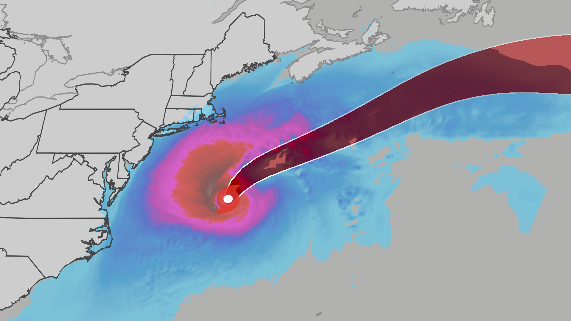 Nor’easter develops into Subtropical Storm Josephine
The Weather Channel Subtropical Storm Josephine lashes East Coast with winds, waves The nor’easter bringing primarily wind, coastal flooding and rip currents to the East Coast has now been named Subtropical Storm…
-
 Hail and strong winds hit central Arizona on Tuesday
The Weather Channel Supercell hits Phoenix suburbs with egg-sized hail and 60 mph winds Heavy hail crashed down when thunderstorms rolled through the Phoenix area on Tuesday night. The area saw hail up to the size of…
-
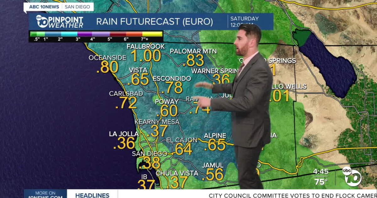 ABC 10News Pinpoint Forecast for Wednesday, October 21: Showers and scattered thunderstorms
Rain will be isolated to scattered overnight Wednesday through the day on Thursday with periods of heavy rain and a slight chance of thunderstorms. That heavier rain will first hit the coast around 10 p.m. tonight and…
-
 Mid-October Santa Ana winds rapidly spread wildfires in Southern California
Several fires have erupted recently amid strong, dry winds known as the Santa Anas. The name is commonly linked way back in the 1800s to Santa Ana Canyon in Orange County, through which these warm winds were known to…
-
 Tropical Storm Vance has formed in the Pacific Ocean
Vance was located about 520 miles south of Acapulco, Mexico, on Wednesday afternoon. The center of the cyclone was at sea and posed no threat to land. Vance was located about 520 miles south of Acapulco, Mexico. Maximum…
-
 Autumn Storm Arrives in Southland
Rain swept across most of the Southland Wednesday as a strong autumn storm moved over the area, promising to bring sometimes-heavy rain expected to last through at least Thursday, along with the possibility of…
-
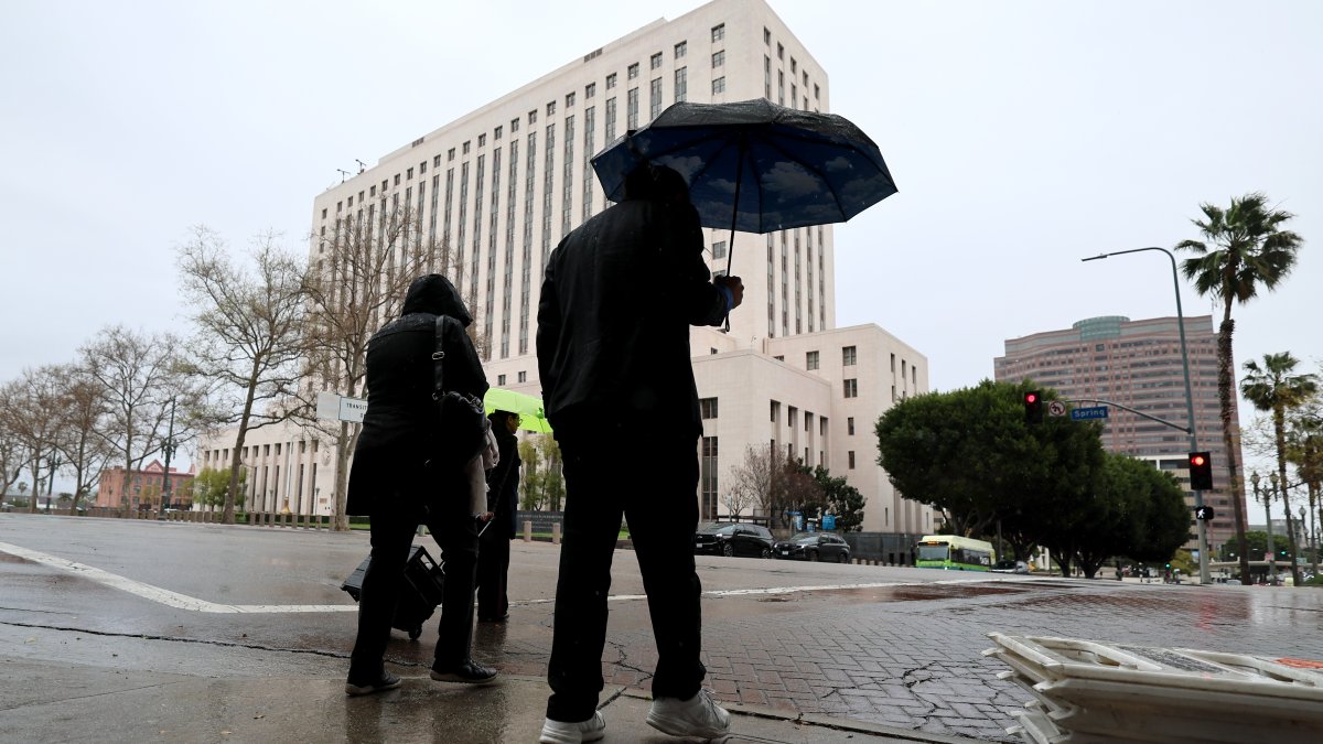 SoCal faces risks of downpours as October storm moves in
A strong autumn storm is expected to bring sometimes-heavy rain through at least Thursday. Amber Frias reports for the NBC4 News at 3 p.m. on Wednesday, Oct. 21, 2026. Rain swept across most of Southern California…
Sun & moon
Nearby
- San Salvador 52 km
- Soyapango 55 km
- Mejicanos 49 km
- Jutiapa 49 km
- Santa Tecla 45 km
- Apopa 45 km
- Delgado 51 km
- Sonsonate 35 km
- San Marcos 54 km
- Asunción Mita 42 km
- Cuscatancingo 50 km
- Ilopango 58 km
Forecasts, observations and alerts in the United States come from the National Weather Service (NOAA); radar from NOAA's Multi-Radar Multi-Sensor system; satellite imagery from NASA's Global Imagery Browse Services (GIBS) and NOAA's GOES satellites; the map from the U.S. Geological Survey's National Map; air quality from AirNow (EPA and its partners); hurricane information from the National Hurricane Center; climate normals and records from NOAA's Regional Climate Centers (ACIS). Forecasts outside the United States and the UV index: MET Norway (CC BY 4.0); observations outside the U.S.: airport reports via NOAA's Aviation Weather Center. Place names: GeoNames (CC BY 4.0). Data are copied on a schedule and may lag the sources; for warnings that affect your safety, follow your local National Weather Service office and emergency officials. Weather news is drawn from the 4Conservative index and reflects what the press published. Terms of use.