Install
Pété, Saint-Louis, Senegal Weather
Current conditions
Forecast for this hour (no station report in the last two hours)
Forecast
10-day-
Tuesday
Showers. High 36°. Precipitation 0.8 mm for the day.
-
Tuesday Night
Mostly clear. Low 30°. Precipitation 0.8 mm for the day.
-
Wednesday
Partly cloudy. High 36°. Precipitation 3.3 mm for the day.
MET Norway forecast updated 4 hrs ago.
Hourly
Hourly forecast- Now36°
- 15:0036°0.6
- 16:0035°0.2
- 17:0035°
- 18:0034°
- 19:0032°
- 20:0031°
- 21:0031°
- 22:0030°
- 23:0030°
- Wed00:0029°
- 01:0029°
- 02:0028°
- 03:0028°
- 04:0028°
- 05:0028°
- 06:0027°
- 07:0027°
- 08:0028°
- 09:0030°
- 10:0032°
- 11:0034°
- 12:0035°
- 13:0035°
Daily forecast
DetailsRadar
Full mapWeather news near Pété
More weather news- Tampa Weather: Stormy Saturday Brings Breezy Fall-Like Week
Tampa starts Saturday mostly cloudy. Showers and thunderstorms are expected through the morning and early afternoon, with a noticeable cooldown arriving behind the front. The National Weather Service puts the chance of…
- Tampa Weather Forecast Friday Storms And Weekend Cooldown
Tampa starts Friday clear and already sticky, with temperatures near 76 degrees early and a high near 88 later in the day. The heat index could reach 99 before isolated showers and thunderstorms begin around 1 p.m. and…
-
 Cool, sunny Saturday before temperatures climb into the 70s
Warm temps set to return, too The cool weather will stick around Saturday, but temperatures will turn warmer during the latter part of the weekend and early next week. Through the remainder of the morning, the few…
-
 Irish drivers told keep €1 coin in vehicle ahead of season's first named storm
Drivers are being encouraged to keep spare coins in their car(Image: Getty Images) Drivers are being encouraged to keep spare coins in their cars as the country braces for severe winter weather. Meteorologists have…
-
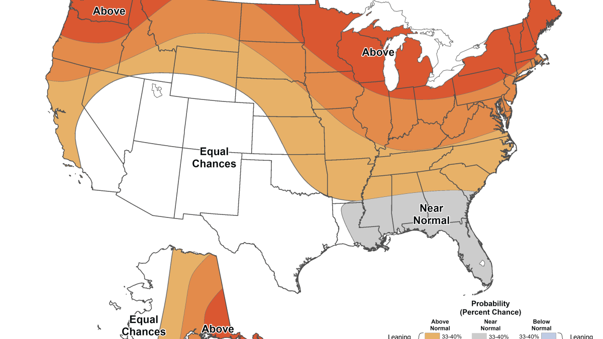 Winter weather outlook: What the latest maps show for temperatures, snow in the Chicago area
Pete Sack has the latest forecast. The latest 2026-27 winter weather prediction for the Chicago area is here, and the latest outlook maps are giving a peek into what temperatures could be like over winter months. The…
-
 Winds pick up as Next Weathermaker moves in
by Pete Petoniak, Fox 11 Director of Meteorology (WLUK) -- Our Next Weathermaker will bring strong winds today. Today looks mostly cloudy with scattered showers. The high is 51. Winds will peak this afternoon with gusts…
-
 Trudy strengthens to a hurricane as system nears Mexico’s coast with major storm expected
Posted Oct 15, 2026 06:00:45 AM. Trudy was located about 300 miles (480 kilometers) southwest of Acapulco, Mexico, with maximum sustained winds of 75 mph (120 kph), according to the U.S. National Hurricane Center in…
-
 Steady, soaking rain on the way as Next Weathermaker moves in later today
by Pete Petoniak, Fox 11 Director of Meteorology (WLUK) -- Our Next Weathermaker arrives Thursday mainly after noon, bringing a steady rain. It will be a soaking rain with most areas picking up between half an inch to…
-
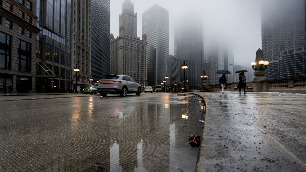 Chicago forecast: Fall storm system to bring sharp cool down, stormy weather and threat of frost
Major changes are coming to the Chicago-area forecast as a fall storm system moves through Illinois this week, bringing periods of rain, storms, a sharp cooldown and even the threat of frost. Wednesday will remain…
Sun & moon
Nearby
- Kaédi 48 km
- Thilogne 37 km
- Bagodine 28 km
- Tilogne Tokossel 41 km
- Haïré Lao 51 km
- Bababé 25 km
- Fondé Elimane 23 km
- Goléré 23 km
- Galoya Toucouleur 10 km
- Mbouba 12 km
- Soubalo Mbouba 12 km
- Mbagne 17 km
Forecasts, observations and alerts in the United States come from the National Weather Service (NOAA); radar from NOAA's Multi-Radar Multi-Sensor system; satellite imagery from NASA's Global Imagery Browse Services (GIBS) and NOAA's GOES satellites; the map from the U.S. Geological Survey's National Map; air quality from AirNow (EPA and its partners); hurricane information from the National Hurricane Center; climate normals and records from NOAA's Regional Climate Centers (ACIS). Forecasts outside the United States and the UV index: MET Norway (CC BY 4.0); observations outside the U.S.: airport reports via NOAA's Aviation Weather Center. Place names: GeoNames (CC BY 4.0). Data are copied on a schedule and may lag the sources; for warnings that affect your safety, follow your local National Weather Service office and emergency officials. Weather news is drawn from the 4Conservative index and reflects what the press published. Terms of use.