Install
Jamestown, Saint Helena, Saint Helena Weather
Current conditions
Forecast for this hour (no station report in the last two hours)
Forecast
10-day-
Tuesday
Cloudy. High 22°.
-
Tuesday Night
Cloudy. Low 20°.
-
Wednesday
Light rain. High 22°. Precipitation 0.6 mm for the day.
MET Norway forecast updated 9 hrs ago.
Hourly
Hourly forecast- Now20°
- 23:0020°
- Wed00:0020°
- 01:0019°
- 02:0019°
- 03:0019°
- 04:0019°
- 05:0019°
- 06:0019°
- 07:0020°
- 08:0020°0.2
- 09:0020°0.2
- 10:0020°0.2
- 11:0021°
- 12:0021°
- 13:0022°
- 14:0021°
- 15:0021°
- 16:0021°
- 17:0020°
- 18:0020°
- 19:0020°
- 20:0020°
- 21:0020°
10-day forecast
DetailsRadar
Full mapWeather news near Jamestown
More weather news-
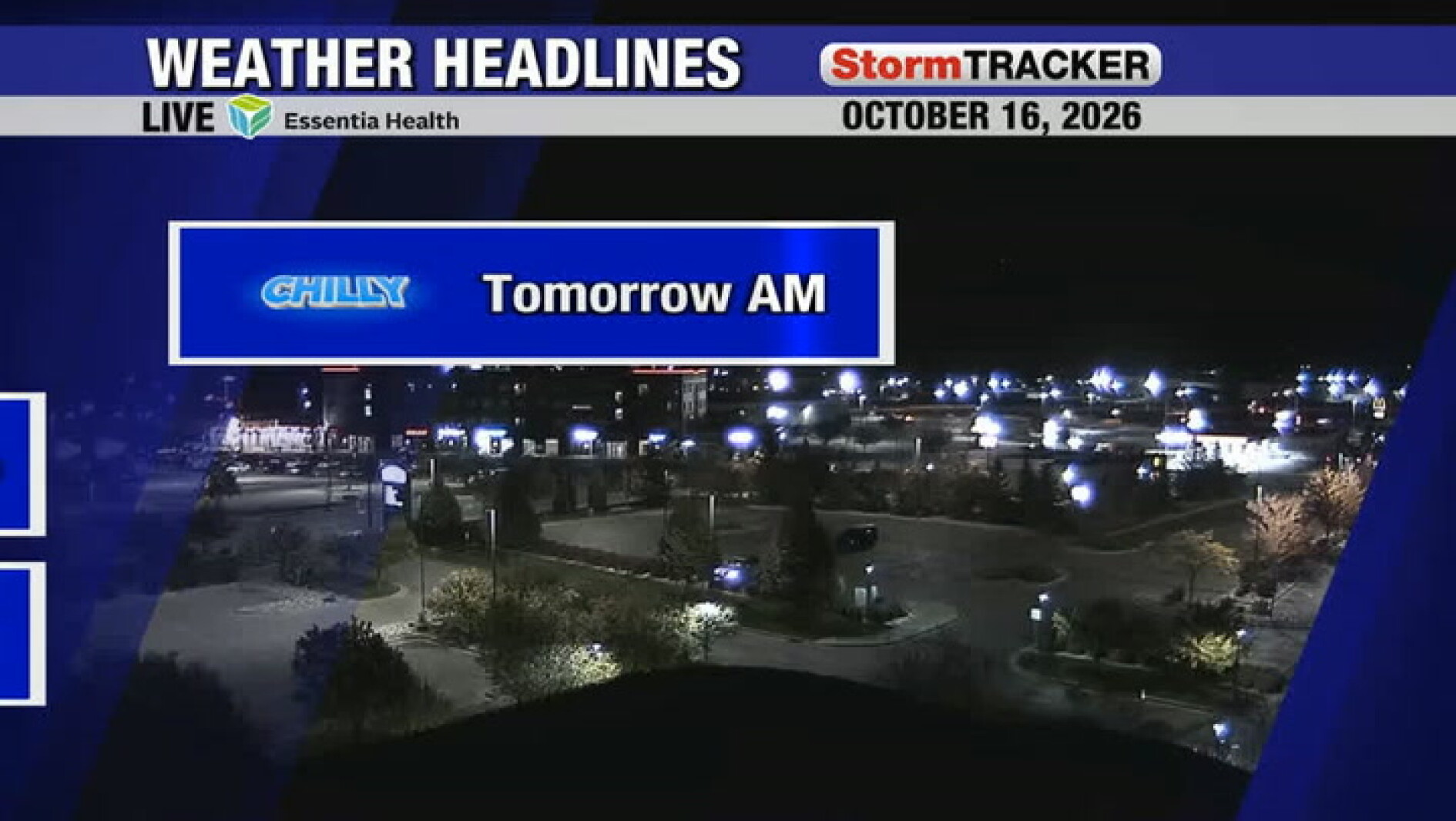 Chilly start to tomorrow followed by a warm and sunny afternoon
Jamestown Sun Chilly start to tomorrow followed by a warm and sunny afternoon
-
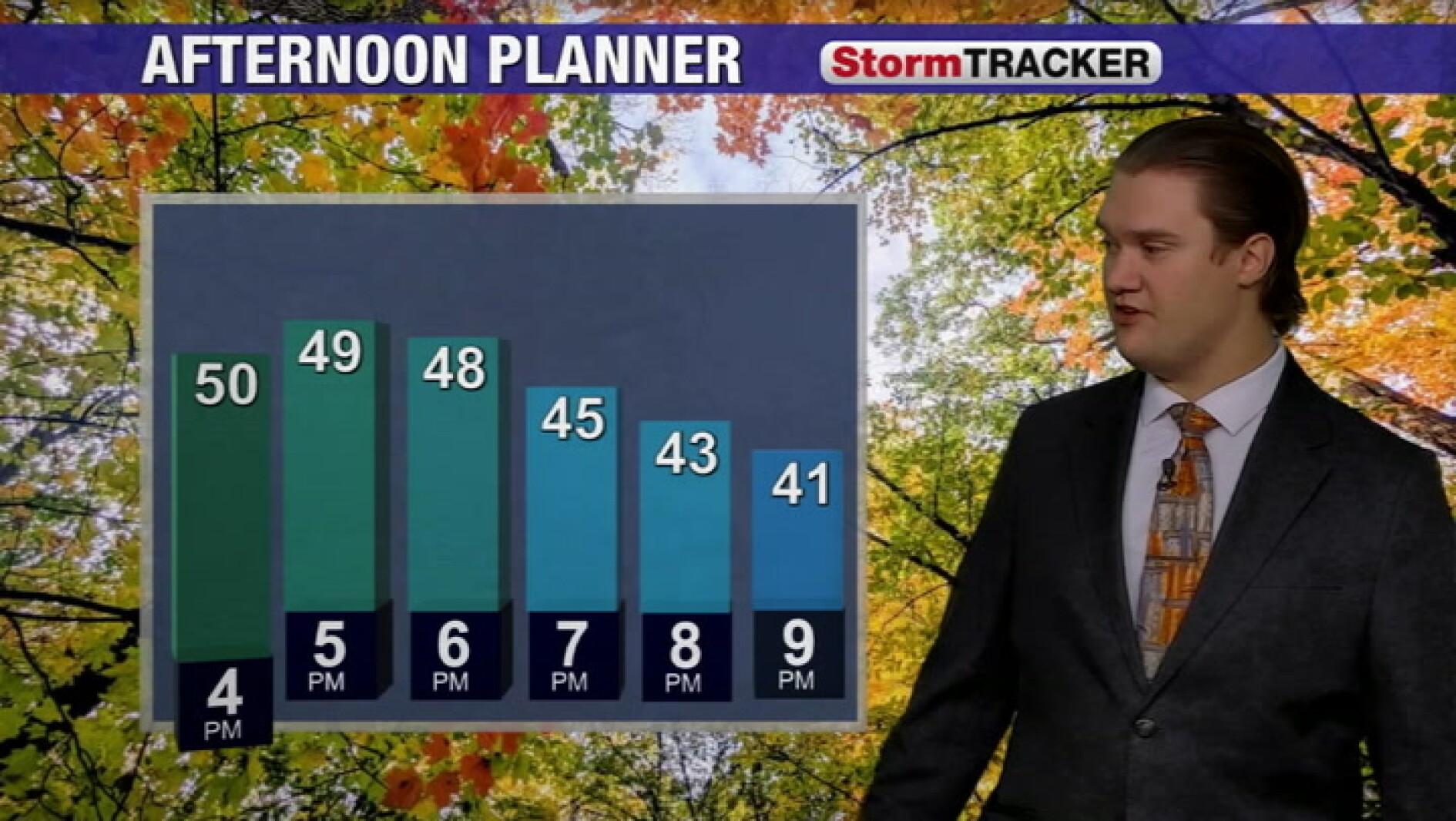 Cool fall weather continues into the evening across the valley
Jamestown Sun Cool fall weather continues into the evening across the valley
-
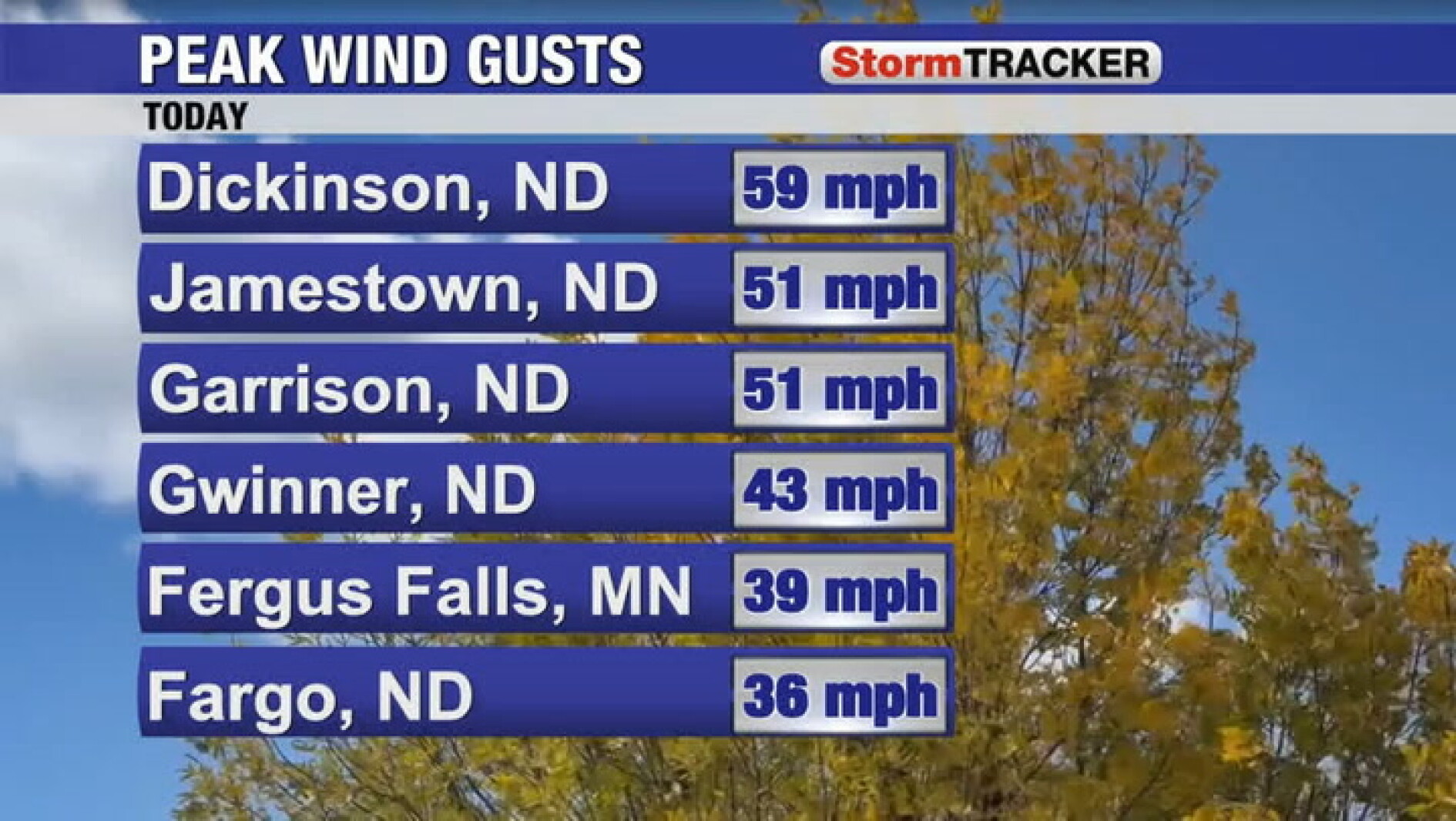 Wind, rain, and clouds all tapering off tomorrow
Jamestown Sun Wind, rain, and clouds all tapering off tomorrow
-
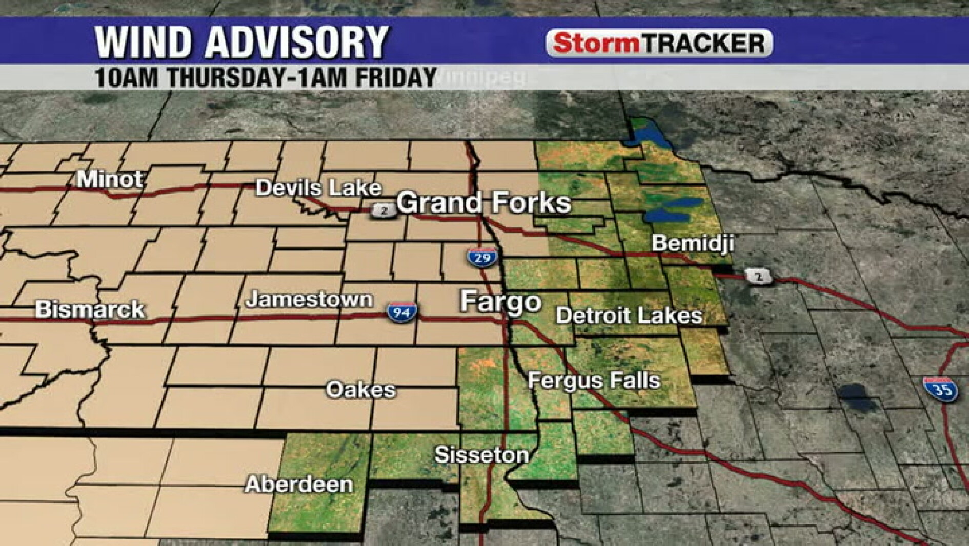 Tracking the wind ramping up for Thursday
Jamestown Sun Tracking the wind ramping up for Thursday
-
 Tracking a frost/freeze tonight and more sunshine tomorrow
Jamestown Sun Tracking a frost/freeze tonight and more sunshine tomorrow
-
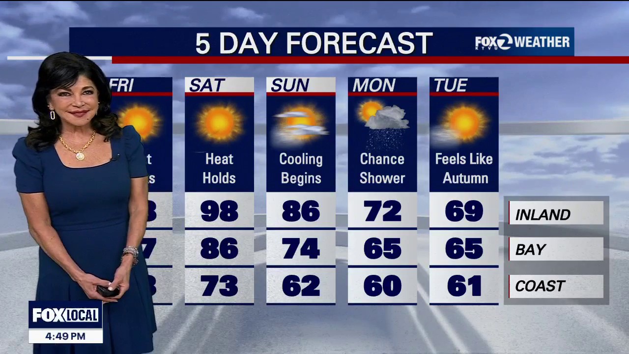 Red Flag Warning for parts of the Bay Area
Red Flag Warning: An official Red Flag Warning is active from 10:00 PM tonight through 11:00 AM Friday across the North Bay Interior Mountains. Diablo Winds: A classic weather setup is unleashing a dangerous Diablo Wind…
-
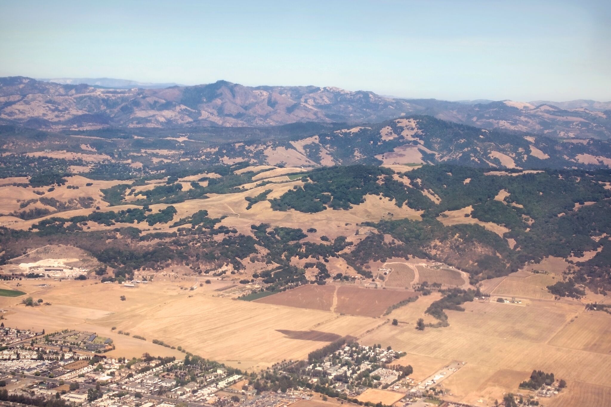 Red flag warning issued for North Bay over risk of 'rapid fire spread'
A view of Sonoma County near Santa Rosa and Taylor Mountain. Diablo winds are forecast for the region. The National Weather Service has issued a red flag warning for parts of the Bay Area as hot, dry winds gusting up to…
Sun & moon
Forecasts, observations and alerts in the United States come from the National Weather Service (NOAA); radar from NOAA's Multi-Radar Multi-Sensor system; satellite imagery from NASA's Global Imagery Browse Services (GIBS) and NOAA's GOES satellites; the map from the U.S. Geological Survey's National Map; air quality from AirNow (EPA and its partners); hurricane information from the National Hurricane Center; climate normals and records from NOAA's Regional Climate Centers (ACIS). Forecasts outside the United States and the UV index: MET Norway (CC BY 4.0); observations outside the U.S.: airport reports via NOAA's Aviation Weather Center. Place names: GeoNames (CC BY 4.0). Data are copied on a schedule and may lag the sources; for warnings that affect your safety, follow your local National Weather Service office and emergency officials. Weather news is drawn from the 4Conservative index and reflects what the press published. Terms of use.