Install
Punggol, Singapore Weather
Current conditions
Forecast for this hour (no station report in the last two hours)
Forecast
10-day-
Wednesday
Rain. High 32°. Precipitation 2.1 mm for the day.
-
Wednesday Night
Light showers. Low 24°. Precipitation 2.1 mm for the day.
-
Thursday
Rain. High 32°. Precipitation 3.3 mm for the day.
MET Norway forecast updated 8 hrs ago.
Hourly
Hourly forecast- Now25°
- 06:0024°
- 07:0025°
- 08:0026°
- 09:0028°0.2
- 10:0030°
- 11:0031°
- 12:0032°
- 13:0032°
- 14:0031°0.8
- 15:0030°0.2
- 16:0030°
- 17:0030°
- 18:0029°0.2
- 19:0028°0.4
- 20:0027°
- 21:0027°
- 22:0027°
- 23:0027°
- Thu00:0026°
- 01:0026°
- 02:0025°
- 03:0025°
- 04:0025°
Daily forecast
DetailsRadar
Full mapWeather news near Punggol
More weather news-
 ‘Very unhealthy’ air quality in Pasir Gudang, Larkin eases this morning
The air quality at Larkin, Johor, which also recorded 202 yesterday, was 176 today. Other places in Johor also had unhealthy readings, including Pengerang (173), Kota Tinggi (172), Batu Pahat (170), Tangkak (168)…
-
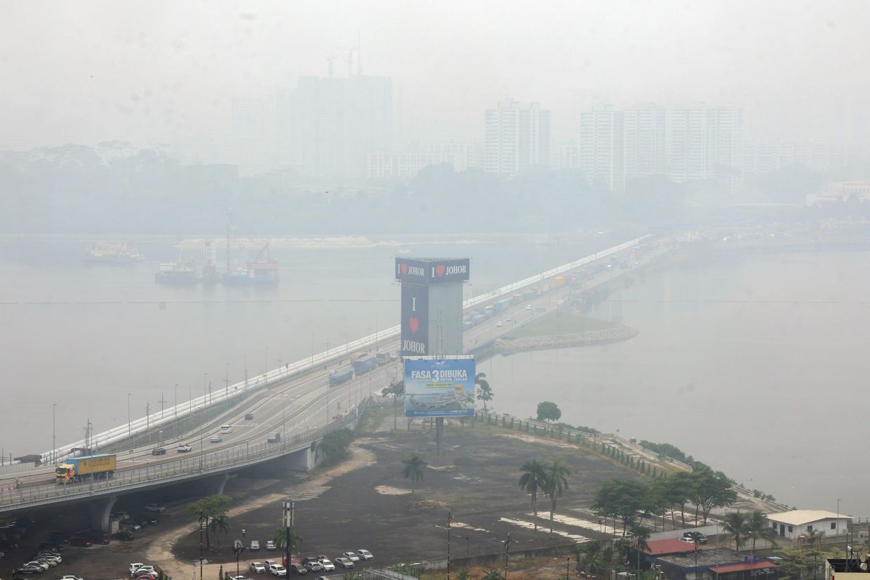 Haze: Pasir Gudang, Larkin hit 'very unhealthy' API reading, 27 other areas in 'unhealthy' range as at 4pm
According to APIMS, six other areas in Johor are in the unhealthy API range: Pengerang with a reading of 181, Batu Pahat and Kota Tinggi (both 171), Kluang (168), Tangkak (159) and Segamat (156). In Selangor, six areas…
- Singapore set for wet, warm weather in second half of October
Localised, short thundery showers are expected on most days in the second half of October. Published Oct 16, 2026, 05:49 PM Updated Oct 16, 2026, 07:08 PM SINGAPORE – The rest of October is expected to be wet and warm…
-
 Lines form for N95 masks as haze situation persists in Singapore; conditions could improve only by weekend
View all posts by Zhaki Abdullah and Shabana Begum → SINGAPORE – People across Singapore flocked to community clubs to collect N95 masks on Oct 15, as the early morning rain over much of the island provided little…
- Lines form for N95 masks as haze situation persists; conditions could improve only by weekend
Published Oct 15, 2026, 05:30 PM Updated Oct 16, 2026, 12:08 AM SINGAPORE – People across Singapore flocked to community clubs to collect N95 masks on Oct 15, as the early morning rain over much of the island provided…
-
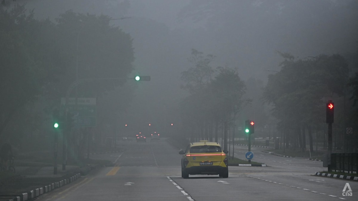 Air quality in Singapore mostly unhealthy; PM2.5 elevated in three regions
SINGAPORE: Air quality in Singapore was mostly unhealthy at 7am on Monday (Oct 19), with the 24-hour Pollutant Standard Index (PSI) ranging from 90 at a moderate level in the north to 136 at an unhealthy level in the…
- Haze in Singapore: Air quality improves but most regions remain in unhealthy band
Published Oct 19, 2026, 06:15 AM Updated Oct 19, 2026, 07:40 AM SINGAPORE - The haze situation improved overnight on Oct 19, with the 24-hour PSI readings falling across the board, although in four of the five regions…
-
 Singapore air quality improves as winds shift, but haze persists
NST Online What To Read Next
-
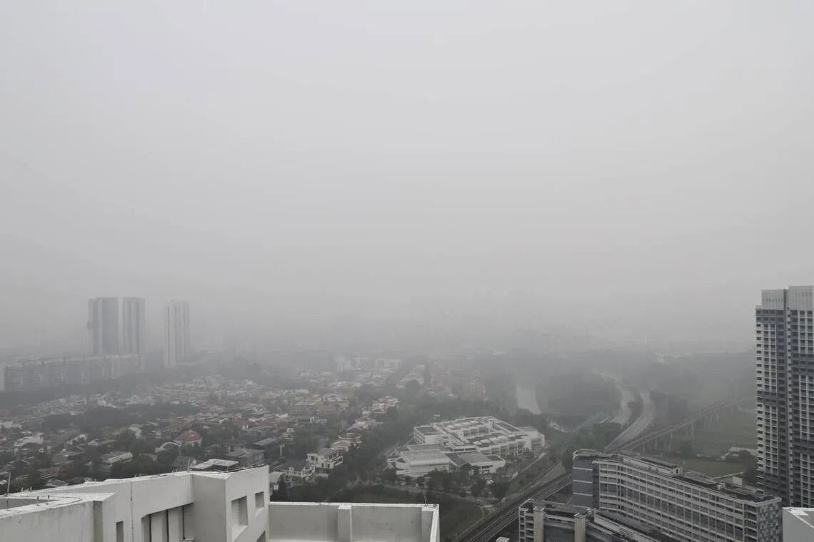 Haze in Singapore: PSI hits new high in west; air quality remains unhealthy across other regions
SINGAPORE (The Straits Times/ANN): The air quality across the island remained poor on Oct 18, with the 24-hour PSI hitting a new season high of 230 at 10am in the west. At 10am, the PSI readings for the rest of the…
-
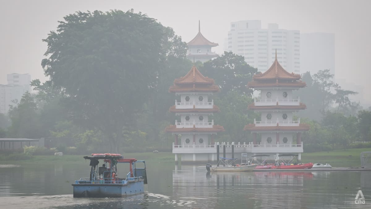 Singapore haze: Air quality remains very unhealthy in west, unhealthy in other regions
At 10am, the 24-hour PSI in the west hit 230 – a new high for the country this year. SINGAPORE: Air quality in western Singapore remained very unhealthy on Sunday (Oct 18), with the 24-hour Pollutant Standards Index…
Sun & moon
Nearby
- Singapore 15 km
- Batam 32 km
- Johor Bahru 18 km
- Pelentong 15 km
- Iskandar Puteri 32 km
- Pasir Gudang 5 km
- Mukim Pulai 30 km
- Kampung Larkin Lama 21 km
- Kampung Kangkar Teberau 21 km
- Ulu Bedok 9 km
- Bedok New Town 11 km
- Sengkang New Town 3 km
Forecasts, observations and alerts in the United States come from the National Weather Service (NOAA); radar from NOAA's Multi-Radar Multi-Sensor system; satellite imagery from NASA's Global Imagery Browse Services (GIBS) and NOAA's GOES satellites; the map from the U.S. Geological Survey's National Map; air quality from AirNow (EPA and its partners); hurricane information from the National Hurricane Center; climate normals and records from NOAA's Regional Climate Centers (ACIS). Forecasts outside the United States and the UV index: MET Norway (CC BY 4.0); observations outside the U.S.: airport reports via NOAA's Aviation Weather Center. Place names: GeoNames (CC BY 4.0). Data are copied on a schedule and may lag the sources; for warnings that affect your safety, follow your local National Weather Service office and emergency officials. Weather news is drawn from the 4Conservative index and reflects what the press published. Terms of use.