Install
Anak Bukit, Singapore Weather
Current conditions
Observed at Singapore/Seletar Arpt · 1 hr ago
Forecast
10-day-
Friday
Light showers. High 33°. Precipitation 0.5 mm for the day.
-
Friday Night
Cloudy. Low 26°. Precipitation 0.5 mm for the day.
-
Saturday
Light rain. High 32°. Precipitation 3.3 mm for the day.
MET Norway forecast updated 5 hrs ago.
Hourly
Hourly forecast- Now33°0.2
- 15:0033°0.3
- 16:0032°
- 17:0032°
- 18:0032°
- 19:0030°
- 20:0028°
- 21:0027°
- 22:0027°
- 23:0026°
- Sat00:0026°
- 01:0026°
- 02:0026°
- 03:0025°
- 04:0025°
- 05:0025°
- 06:0025°
- 07:0025°
- 08:0026°
- 09:0028°
- 10:0030°
- 11:0032°
- 12:0032°
- 13:0032°
10-day forecast
DetailsRadar
Full mapWeather news in Singapore
More weather news- Haze in Singapore: Air quality improves overnight with ‘normal’ PM2.5 readings across the island
The National Environment Agency forecast that unhealthy air quality, with PSI levels ranging from 101 to 160, is expected on Oct 22. Published Oct 22, 2026, 06:05 AM Updated Oct 22, 2026, 06:41 AM SINGAPORE – The air…
-
 Haze watch Oct 21: PM2.5 levels normal in north, east and south Singapore, Singapore News
Singapore is bracing for what could be up to two days of poor air quality, with winds forecast to blow from the east-southeast to south-east — again transporting smoke haze from fires in Kalimantan to the city state. In…
-
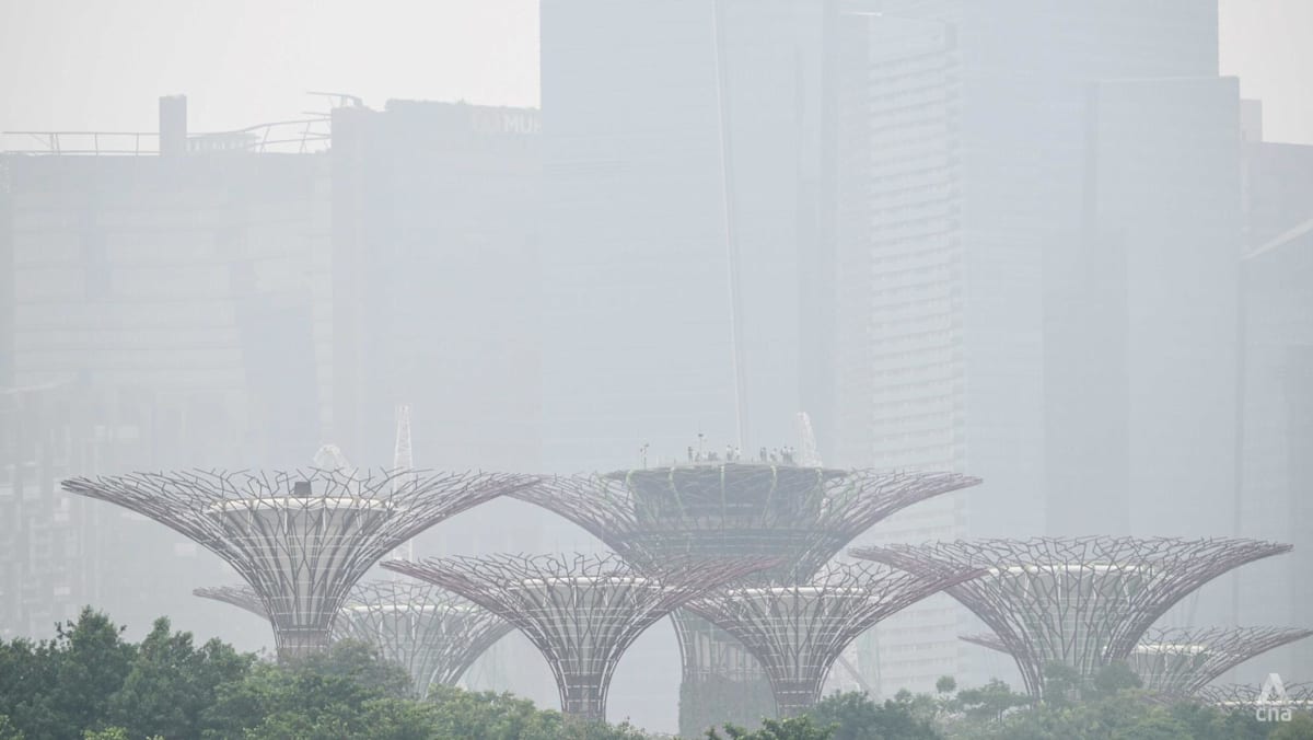 Air quality in Singapore sees slight improvement; 1-hour PM2.5 readings elevated in two regions
The National Environment Agency said the 24-hour PSI is expected to range from 110 to 180 on Wednesday. SINGAPORE: Air quality in Singapore saw a slight improvement overnight into Wednesday (Oct 21), while 1-hour PM2.5…
-
 Tropical Storm Vance has formed in the Pacific Ocean
Broomfield Enterprise The center of the cyclone was at sea and posed no threat to land. Vance was located about 520 miles south of Acapulco, Mexico. Maximum sustained winds were around 40 mph, according to an advisory…
-
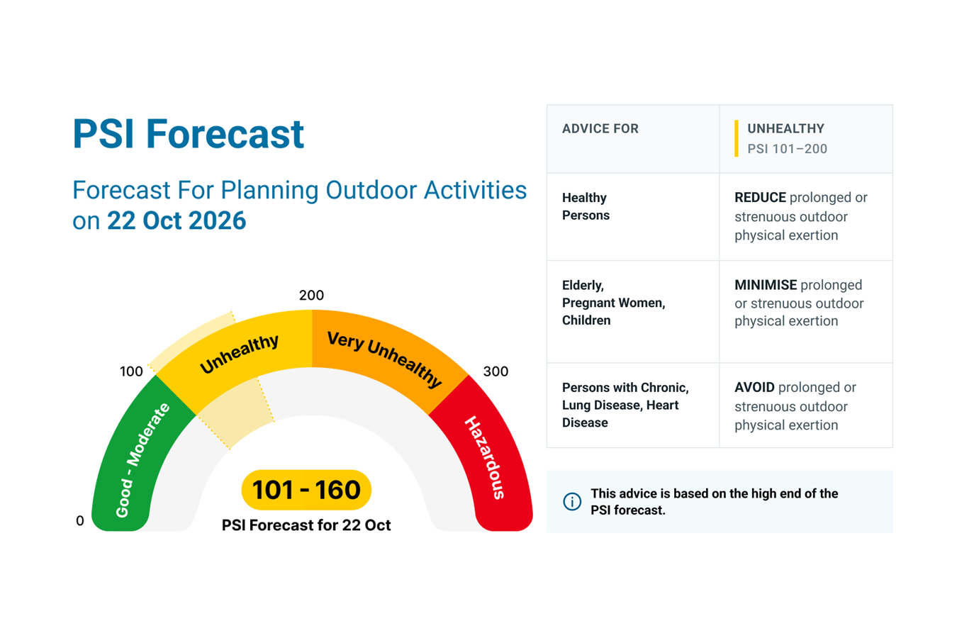 Haze Situation Update (21 October 2026)
Government officials will NEVER ask you to transfer money or disclose bank log-in details over a phone call. Visit ScamShield or call the 24/7 ScamShield Helpline at 1799 if you are unsure if something is a scam. PSI…
-
 MORE HAZE, LESS SPEED
Slow down, runners — here are dos and don'ts for exercising outdoors when the PSI is high Jileen Tan is training for a personal best race time, but has had to cancel outdoor runs over the past two weeks because of poor…
-
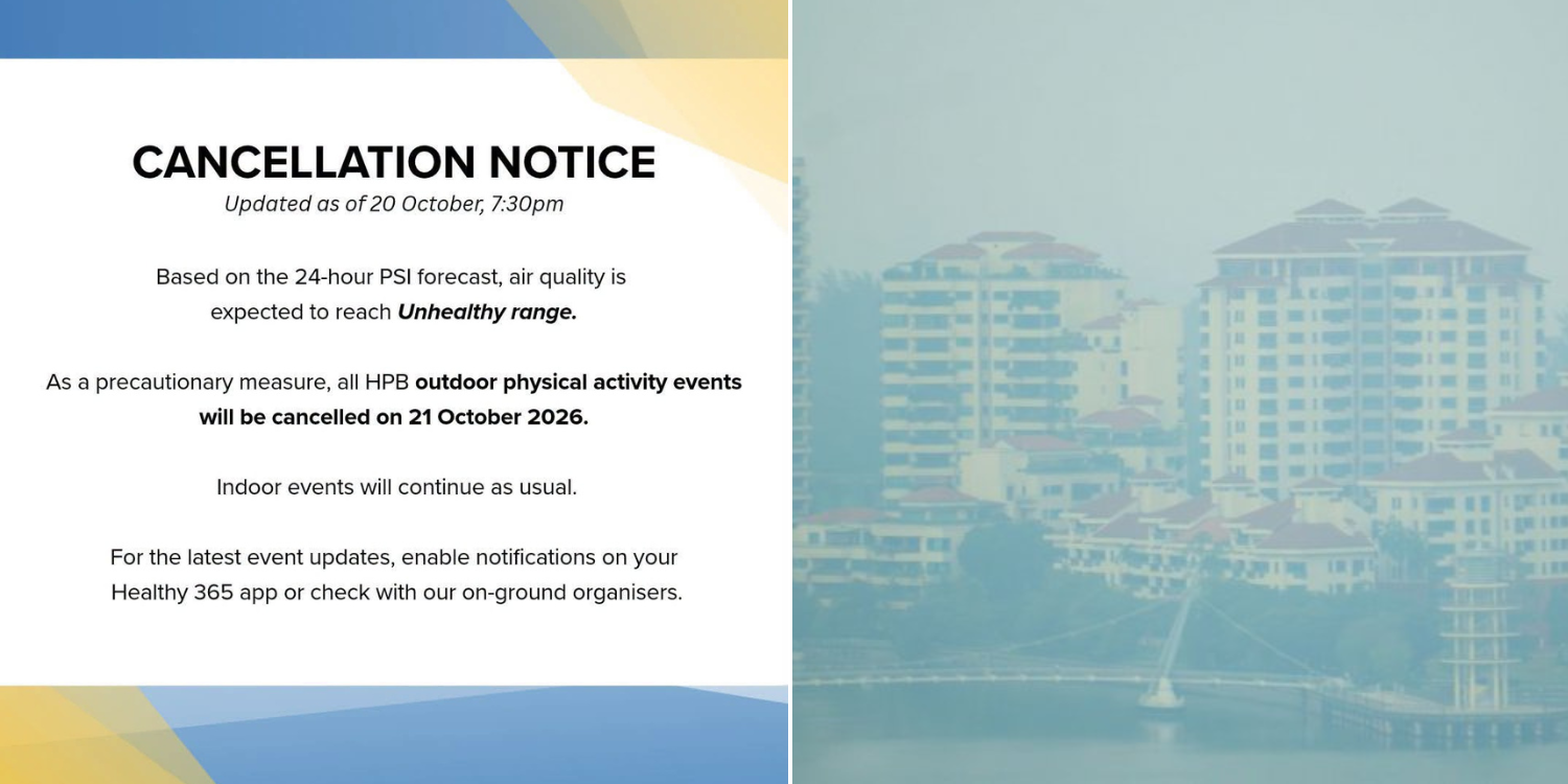 Health Promotion Board releases haze advisory, outdoor events to be cancelled if necessary
Health Latest News Singapore Physical activity events held outdoors were cancelled on 21 Oct as the PSI breached the Unhealthy range. By Rochelle Lee - 21 Oct 2026, 11:02 am On Tuesday (20 Oct), the Health Promotion…
-
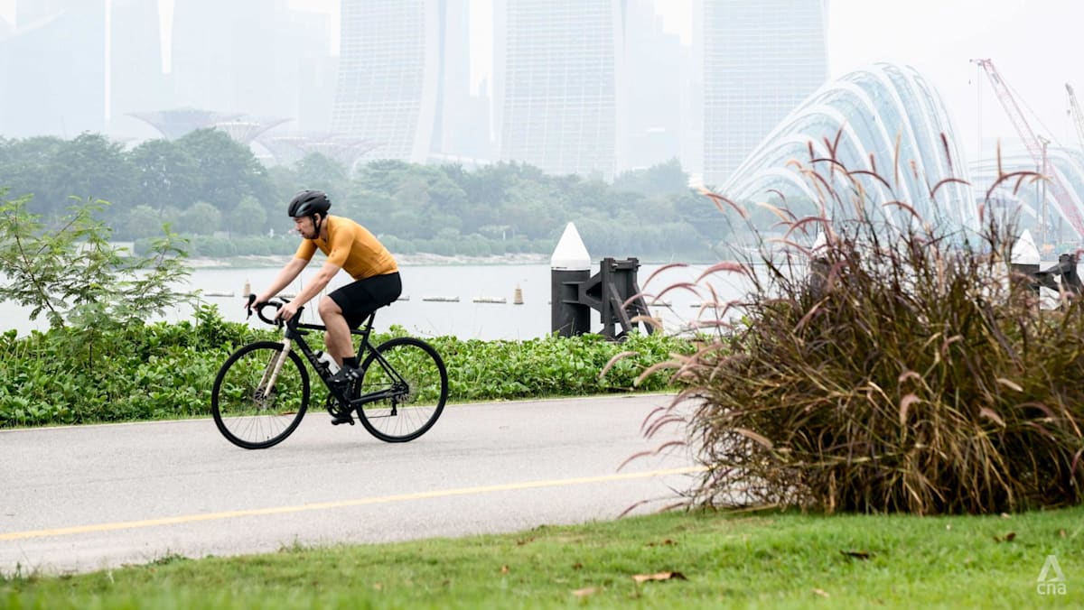 Hourly PM2.5 readings elevated in three regions, 24-hour PSI unhealthy in west, central, east and south
SINGAPORE: One-hour PM2.5 readings were elevated in Singapore's western, central and eastern regions at 4pm on Tuesday (Oct 20), while the north and south recorded readings in the normal band. Across the five regions…
-
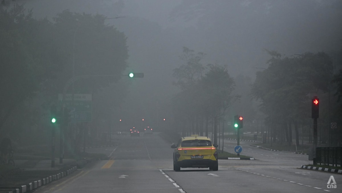 Air quality in Singapore mostly unhealthy; PM2.5 elevated in three regions
SINGAPORE: Air quality in Singapore was mostly unhealthy at 7am on Monday (Oct 19), with the 24-hour Pollutant Standard Index (PSI) ranging from 90 at a moderate level in the north to 136 at an unhealthy level in the…
- Haze in Singapore: Air quality improves but most regions remain in unhealthy band
Published Oct 19, 2026, 06:15 AM Updated Oct 19, 2026, 07:40 AM SINGAPORE - The haze situation improved overnight on Oct 19, with the 24-hour PSI readings falling across the board, although in four of the five regions…
Sun & moon
Nearby
- Singapore 10 km
- Batam 35 km
- Johor Bahru 14 km
- Pelentong 21 km
- Iskandar Puteri 18 km
- Pasir Gudang 20 km
- Mukim Pulai 24 km
- Kampung Larkin Lama 18 km
- Kampung Kangkar Teberau 21 km
- Ulu Bedok 18 km
- Bedok New Town 19 km
- Sengkang New Town 15 km
Forecasts, observations and alerts in the United States come from the National Weather Service (NOAA); radar from NOAA's Multi-Radar Multi-Sensor system; satellite imagery from NASA's Global Imagery Browse Services (GIBS) and NOAA's GOES satellites; the map from the U.S. Geological Survey's National Map; air quality from AirNow (EPA and its partners); hurricane information from the National Hurricane Center; climate normals and records from NOAA's Regional Climate Centers (ACIS). Forecasts outside the United States and the UV index: MET Norway (CC BY 4.0); observations outside the U.S.: airport reports via NOAA's Aviation Weather Center. Place names: GeoNames (CC BY 4.0). Data are copied on a schedule and may lag the sources; for warnings that affect your safety, follow your local National Weather Service office and emergency officials. Weather news is drawn from the 4Conservative index and reflects what the press published. Terms of use.