Install
Kungshamn, Västra Götaland, Sweden Weather
Current conditions
Forecast for this hour (no station report in the last two hours)
Forecast
10-day-
Saturday
Rain. High 11°. Precipitation 4.2 mm for the day.
-
Saturday Night
Rain. Low 8°. Precipitation 4.2 mm for the day.
-
Sunday
Heavy rain. High 12°. Precipitation 20.4 mm for the day.
MET Norway forecast updated 5 hrs ago.
Hourly
Hourly forecast- Now8°49%
- 01:008°83%
- 02:008°79%
- 03:008°43%
- 04:008°30%
- 05:008°24%
- 06:009°18%
- 07:009°26%
- 08:009°43%
- 09:009°29%
- 10:009°10%
- 11:009°
- 12:0010°
- 13:0010°
- 14:0011°
- 15:0011°23%
- 16:0011°27%
- 17:0011°39%
- 18:0011°53%
- 19:0010°58%
- 20:0010°71%
- 21:0010°69%
- 22:0010°47%
- 23:0011°65%
Daily forecast
DetailsRadar
Full mapWeather news in Sweden
More weather news- Valley fog and mountain snow mark autumn in Norway and Sweden
https://eu-space.europa.eu/ Valley fog and mountain snow mark autumn in Norway and Sweden As temperatures drop and nights grow longer in autumn, fog and snow become more common across much of Scandinavia. Fog frequently…
-
 Early Snowfall Hits Northern Greece as Temperatures Plunge
Greek City Times (GCT) is a digital news and lifestyle platform focusing on Greek news, culture, history, sports, and current affairs. It serves as a key source of information for Greek residents and the global Greek…
-
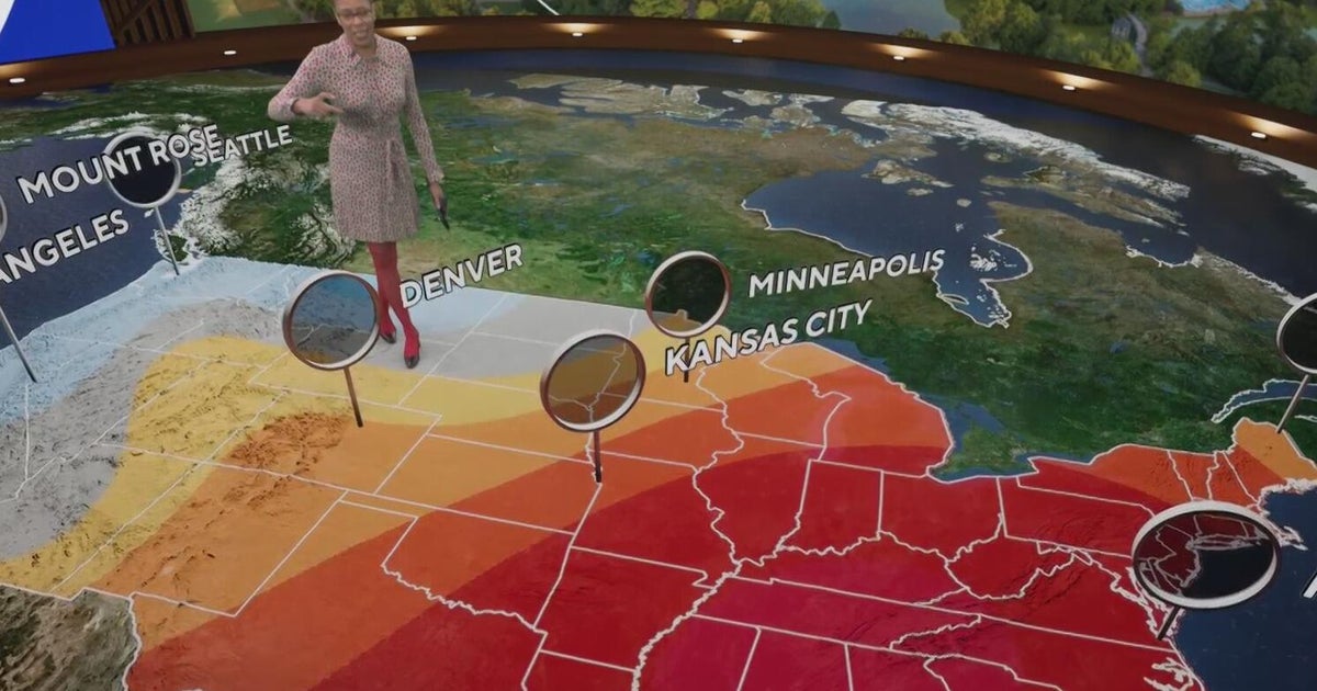 Fall weather in full force across Georgia this weekend
CBS News Atlanta is a local news organization that is part of CBS News and Stations. Also referred to as WUPA and channel 69, CBS News Atlanta offers local breaking news, weather coverage and investigative reporting…
-
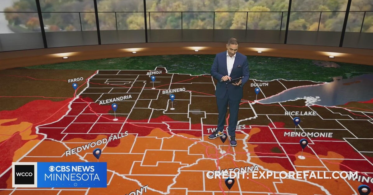 Minnesota weather: one last warm day, then a damp, cool change | Oct. 23, 2026
CBS News Minnesota is a local news organization that is part of CBS News and Stations. Also referred to as WCCO-TV and channel 4, CBS News Minnesota offers local breaking news, weather coverage and investigative…
-
 Trains cancelled and roads warnings as Scotland prepares for Storm Boelo
Some train services will be cancelled during Storm Boelo Train services have been cancelled and police have warned against unnecessary road journeys as Scotland prepares for the arrival of Storm Boelo. Heavy rain and…
-
 Vance could be a major Category 3 hurricane Friday as it nears Mexico
Vance has become a hurricane off the coast of Mexico MIAMI — Vance became a hurricane Friday and the National Hurricane Center said it would strengthen rapidly as it nears Mexico’s Pacific Coast. Vance was a Category 1…
-
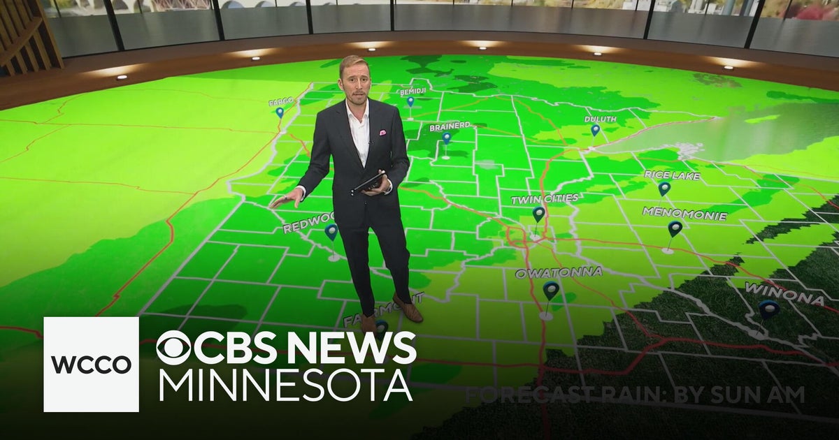 Minnesota's weather is about to pivot back to fall | Oct. 23, 2026
CBS News Minnesota is a local news organization that is part of CBS News and Stations. Also referred to as WCCO-TV and channel 4, CBS News Minnesota offers local breaking news, weather coverage and investigative…
-
 Amber wind warning issued as storm sweeps in
An amber warning for wind has been issued for parts of Cumbria and the north-east of England as the region braces itself for Storm Boelo. High winds are expected to batter north and west Cumbria, including Carlisle…
-
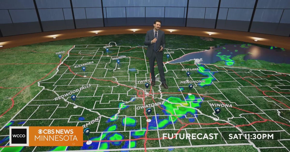 Minnesota weather turns cooler after a Saturday cold front brings light showers | Oct. 23, 2026
Rain chances improve Saturday afternoon and evening, with amounts under a tenth of an inch and gusts near 30 mph. Highs reach the 70s ahead of the front, then fall to the mid 50s Sunday, WCCO meteorologist Joseph Dames…
-
 BBC Audio | What in the World | Five ways El Niño is affecting weather around the world
El Niño has been strengthening for several months now and is already having a significant impact on global weather patterns. Countries including Indonesia, India and the United States have been experiencing droughts…
Sun & moon
Nearby
- Uddevalla 40 km
- Stenungsund 46 km
- Lysekil 14 km
- Munkedal 27 km
- Lilla Edet 57 km
- Ljungskile 42 km
- Skärhamn 45 km
- Stora Höga 51 km
- Brastad 13 km
- Henån 28 km
- Sjuntorp 59 km
- Hunnebostrand 9 km
Forecasts, observations and alerts in the United States come from the National Weather Service (NOAA); radar from NOAA's Multi-Radar Multi-Sensor system; satellite imagery from NASA's Global Imagery Browse Services (GIBS) and NOAA's GOES satellites; the map from the U.S. Geological Survey's National Map; air quality from AirNow (EPA and its partners); hurricane information from the National Hurricane Center; climate normals and records from NOAA's Regional Climate Centers (ACIS). Forecasts outside the United States and the UV index: MET Norway (CC BY 4.0); observations outside the U.S.: airport reports via NOAA's Aviation Weather Center. Place names: GeoNames (CC BY 4.0). Data are copied on a schedule and may lag the sources; for warnings that affect your safety, follow your local National Weather Service office and emergency officials. Weather news is drawn from the 4Conservative index and reflects what the press published. Terms of use.