Install
Karata, Dagestan, Russia Weather
Current conditions
Forecast for this hour (no station report in the last two hours)
Forecast
10-day-
Tuesday Night
Partly cloudy. Low 11°.
-
Wednesday
Heavy rain. High 16°. Precipitation 6.0 mm for the day.
-
Wednesday Night
Rain. Low 9°. Precipitation 6.0 mm for the day.
MET Norway forecast updated 5 hrs ago.
Hourly
Hourly forecast- Now11°
- 22:0011°
- 23:0011°
- Wed00:0011°
- 01:0011°
- 02:0010°
- 03:0010°
- 04:0010°
- 05:0010°
- 06:0010°
- 07:0011°
- 08:0012°
- 09:0013°0.2
- 10:0013°0.4
- 11:0014°0.6
- 12:0015°1.1
- 13:0016°0.3
- 14:0016°0.2
- 15:0015°0.2
- 16:0014°0.3
- 17:0012°
- 18:0011°
- 19:0011°0.3
- 20:0011°0.5
10-day forecast
DetailsRadar
Full mapWeather news in Russia
More weather news-
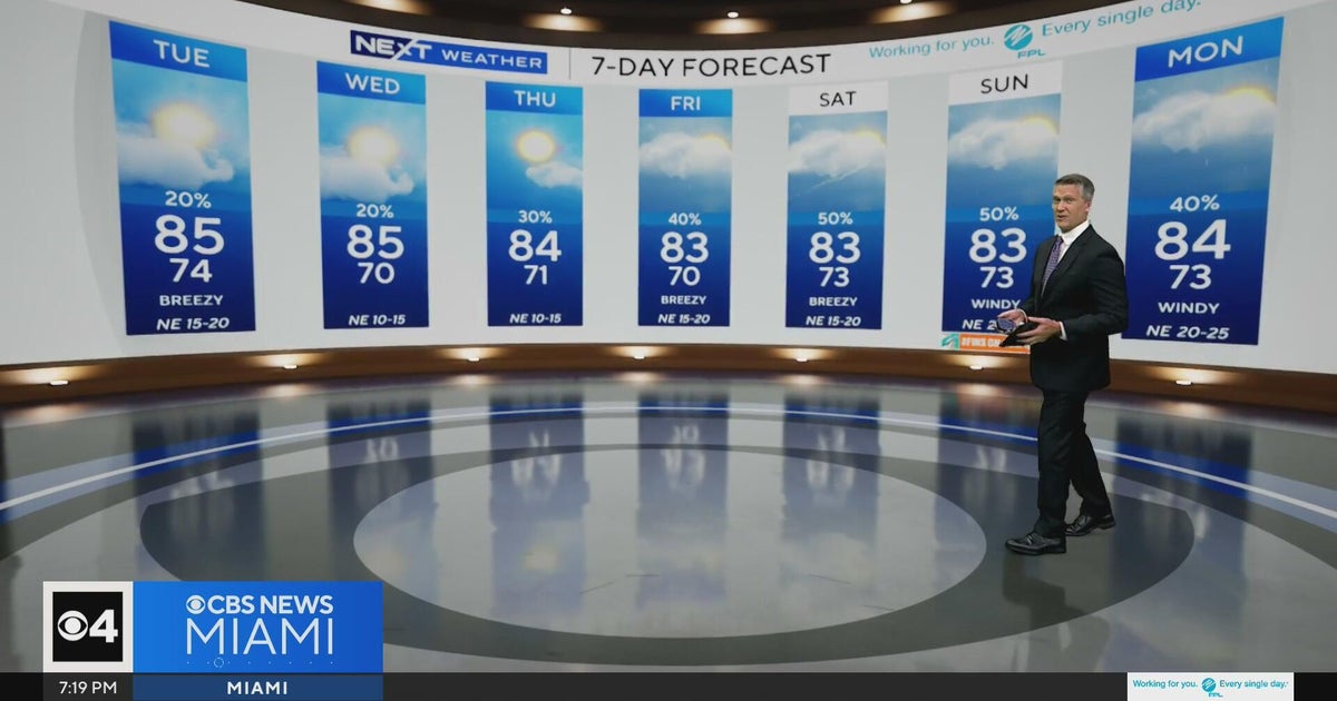 Temperatures lower to the early 80s and late 70s throughout South Florida
CBS News Miami is a local news organization that is part of CBS News and Stations. Also referred to as WFOR-TV and channel 4, CBS News Miami offers local breaking news, weather coverage and investigative reporting…
-
 Summer recap: The Big Country’s summer of relentless triple-digit heat
BIG COUNTRY, Texas (KTAB/KRBC) – The summer of 2026 is one the Big Country won't soon forget, thanks to relentless heat that baked the region, especially from August through mid-September. Abilene recorded its first…
-
 Heavy rain and flash flooding possible in New Mexico, southwest Colorado this week
A strong storm system will bring widespread rain to New Mexico and southwest Colorado Wednesday through Friday. Heavy rainfall could lead to flash flooding, especially Thursday and Friday. Several inches of rain are…
-
 First rain of the season to arrive in Bay Area Tuesday night
SAN FRANCISCO (KRON) -- The first rain of the season is due to arrive in the Bay Area Tuesday night, according to the National Weather Service. The NWS is advising of rain showers continuing through Thursday morning…
-
 The Daily Cartoon and Live Briefing: Monday, October 19, 2026
October 19, 2026 | FlaglerLive | 8 Comments Weather: A 30 percent chance of showers, mainly after 2pm. Mostly sunny, with a high near 73. Windy. Monday Night: A 30 percent chance of showers, mainly before 8pm. Partly…
-
 Egypt to Switch to Winter Time on October 30
Egypt will turn clocks back by one hour at midnight on Thursday, 29 October, as daylight saving time comes to an end and the country returns to winter time on Friday, 30 October. The change will move clocks from 12:00…
-
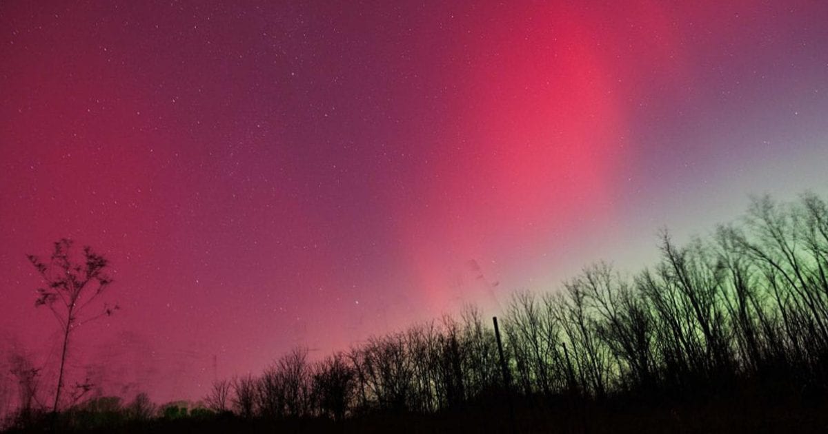 Aurora forecast: Solar wind could spark northern lights in Maine and other U.S. states on October 19-20
Residents of many of the northern U.S. states, from Washington to Maine, could get a chance to see auroras around midnight. Aurora forecast: Solar wind could spark northern lights in Maine and other U.S. states on…
-
 NWS: Here's when Central Texas will finally cool down for the year
A cold front hit Texas last weekend, bringing a boon for those San Antonio temperatures that make fall feel more like summer part two. But when can residents in South Central Texas expect for the weather to actually…
-
 Weather alert: Rain, lightning, hail, and storms in Moldova
Meteorologists issued a Yellow Code for Atmospheric Instability for Wednesday, August 6. The warning is in effect for the northern and central regions of the Republic of Moldova. Heavy rainfall, lightning, hail, and…
-
 Moldova Braces for Cold Snap & Heavy Rain
Moldovan temperatures will reach a maximum of 11 degrees Celsius (51.8 degrees Fahrenheit) on Thursday, April 18, according to meteorologists. Nighttime lows will dip down to 4 degrees Celsius (39.2 degrees Fahrenheit)…
Sun & moon
Nearby
- Dylym 58 km
- Leninaul 58 km
- Shamil’kala 44 km
- Untsukul’ 39 km
- Tsentoroy 47 km
- Ansalta 21 km
- Andi 22 km
- Nozhay-Yurt 56 km
- Kalininaul 56 km
- Novolakskoye 60 km
- Aknada 26 km
- Yalkhoy-Mokhk 58 km
Forecasts, observations and alerts in the United States come from the National Weather Service (NOAA); radar from NOAA's Multi-Radar Multi-Sensor system; satellite imagery from NASA's Global Imagery Browse Services (GIBS) and NOAA's GOES satellites; the map from the U.S. Geological Survey's National Map; air quality from AirNow (EPA and its partners); hurricane information from the National Hurricane Center; climate normals and records from NOAA's Regional Climate Centers (ACIS). Forecasts outside the United States and the UV index: MET Norway (CC BY 4.0); observations outside the U.S.: airport reports via NOAA's Aviation Weather Center. Place names: GeoNames (CC BY 4.0). Data are copied on a schedule and may lag the sources; for warnings that affect your safety, follow your local National Weather Service office and emergency officials. Weather news is drawn from the 4Conservative index and reflects what the press published. Terms of use.