Install
Petite-Île, Reunion, Réunion Weather
Current conditions
Forecast for this hour (no station report in the last two hours)
Forecast
10-day-
Tuesday Night
Fog. Low 17°.
-
Wednesday
Showers. High 24°. Precipitation 2.0 mm for the day.
-
Wednesday Night
Fog. Low 17°. Precipitation 2.0 mm for the day.
MET Norway forecast updated 6 hrs ago.
Hourly
Hourly forecast- Now17°
- Wed00:0017°
- 01:0018°
- 02:0018°
- 03:0017°
- 04:0017°
- 05:0017°
- 06:0017°
- 07:0020°
- 08:0022°
- 09:0023°
- 10:0024°
- 11:0024°
- 12:0024°
- 13:0023°0.4
- 14:0022°0.5
- 15:0022°0.5
- 16:0022°0.4
- 17:0021°0.2
- 18:0020°
- 19:0020°
- 20:0020°
- 21:0020°
- 22:0019°
10-day forecast
DetailsRadar
Full mapWeather news in Réunion
More weather news- Heavy rain tapers off for Southeast, with scattered showers into the weekend
Alaska's News Source Heavy rain tapers off for Southeast, with scattered showers into the weekend Ketchikan declares state of emergency after landslide knocks out Ward Cove substation Pres. Trump in AK, a blow-up lizard…
- Hartford Heats to 77 Today Before Friday Soaker, Weekend Cold Snap
Wednesday stays partly sunny with west winds between 3 and 9 mph. According to the National Weather Service, the chance of rain is 30%, with the best window around 2 to 3 p.m.; most of the day should remain dry…
-
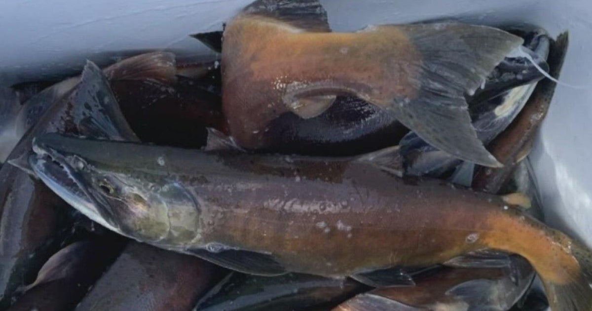 Colorado Parks and Wildlife begins salmon giveaway
CBS News Colorado Parks and Wildlife begins salmon giveaway Colorado State Patrol responded to more than 300 crashes over Halloween weekend last year Much cooler temperatures and wet weather in Colorado Denver…
-
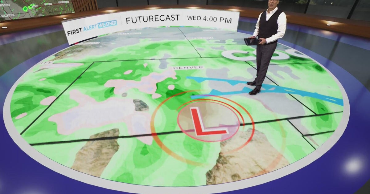 First Alert Weather Day for Wednesday much cooler, metro rain and heavy mountain snow
CBS News First Alert Weather Day for Wednesday much cooler, metro rain and heavy mountain snow Colorado State Patrol responded to more than 300 crashes over Halloween weekend last year Much cooler temperatures and wet…
-
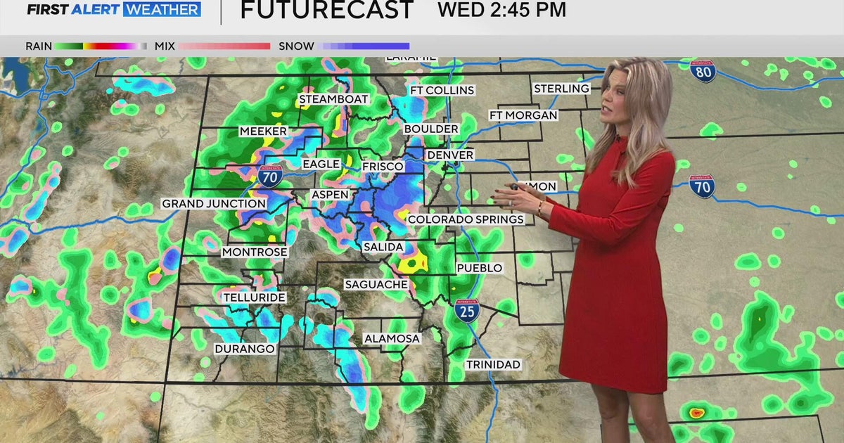 Much cooler temperatures and wet weather in Colorado
CBS News Much cooler temperatures and wet weather in Colorado Colorado State Patrol responded to more than 300 crashes over Halloween weekend last year Colorado Parks and Wildlife begins salmon giveaway Denver…
-
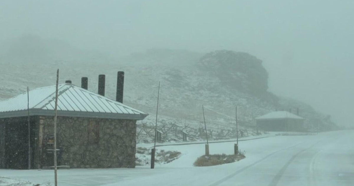 Trail Ridge Road in Colorado's Rocky Mountain National Park temporarily closed due to snow, ice
CBS News Trail Ridge Road in Colorado's Rocky Mountain National Park temporarily closed due to snow, ice Colorado State Patrol responded to more than 300 crashes over Halloween weekend last year Much cooler temperatures…
Sun & moon
Nearby
- Saint-Denis 54 km
- Saint-Paul 49 km
- Saint-Pierre 9 km
- Le Tampon 10 km
- Saint-André 44 km
- Saint-Louis 18 km
- Saint-Joseph 6 km
- Saint-Benoît 38 km
- La Possession 53 km
- Saint-Leu 35 km
- Sainte-Marie 51 km
- Le Port 54 km
Forecasts, observations and alerts in the United States come from the National Weather Service (NOAA); radar from NOAA's Multi-Radar Multi-Sensor system; satellite imagery from NASA's Global Imagery Browse Services (GIBS) and NOAA's GOES satellites; the map from the U.S. Geological Survey's National Map; air quality from AirNow (EPA and its partners); hurricane information from the National Hurricane Center; climate normals and records from NOAA's Regional Climate Centers (ACIS). Forecasts outside the United States and the UV index: MET Norway (CC BY 4.0); observations outside the U.S.: airport reports via NOAA's Aviation Weather Center. Place names: GeoNames (CC BY 4.0). Data are copied on a schedule and may lag the sources; for warnings that affect your safety, follow your local National Weather Service office and emergency officials. Weather news is drawn from the 4Conservative index and reflects what the press published. Terms of use.