Install
Bayt Lāhyā, Gaza Strip, Palestine Weather
Current conditions
Forecast for this hour (no station report in the last two hours)
Forecast
10-day-
Friday
Sunny. High 32°.
-
Friday Night
Partly cloudy. Low 25°.
-
Saturday
Fog. High 29°.
MET Norway forecast updated 8 hrs ago.
Hourly
Hourly forecast- Now26°
- 20:0026°
- 21:0025°
- 22:0025°
- 23:0025°
- Sat00:0024°
- 01:0024°
- 01:0023°
- 02:0023°
- 03:0023°
- 04:0023°
- 05:0023°
- 06:0022°
- 07:0023°
- 08:0025°
- 09:0027°
- 10:0028°
- 11:0029°
- 12:0029°
- 13:0029°
- 14:0028°
- 15:0027°
- 16:0026°
- 17:0025°
Daily forecast
DetailsRadar
Full mapWeather news near Bayt Lāhyā
More weather news-
 Weather forecast: Rain possible Wednesday, warmer than usual on Thursday
No significant change in the weather is expected Tuesday, with localized rain possible along the coastal plain Wednesday; Warming will be felt later this week, with the weekend already set to be hotter than usual The…
-
 Forecast: Rain gives way to cooler weather, with temperatures set to rise later this week
Temperatures are expected to fall slightly today, while light drizzle may continue along the coastal plain; little change is forecast for Tuesday, but the cooler spell will be short-lived, with temperatures set to rise…
-
 Mozambique: INAM issues alert for intense heat with temperatures up to 43°C
According to INAM, the alert remains in force until midnight on Monday and covers districts in the provinces of Maputo, Gaza and Inhambane in the south, and Manica, Sofala and Tete in the centre. In Maputo province, the…
-
 October 18th PM: Sunshine and warmer temps
IA, NE, SD (KCAU) — It is a sunny, breezy, and warm Sunday in Siouxland. Afternoon highs are in the 60s to low 70s, with winds gusting between 25 and 30 MPH. Tonight, some clouds begin rolling in late, starting off…
-
 Tropical development possible off Southeast coast as system drifts northeast
Mid-Atlantic coastal waters are watching a non-tropical low-pressure system with a 40% chance of development over seven days. The system is expected to meander over warm waters and drift slowly northeast away from Tampa…
-
 Forecast: Rain continues across Israel as temperatures remain below average
Ynetnews The weather on Sunday will be partly to mostly cloudy, with light, scattered rain expected in northern Israel and along the coastal plain Temperatures will remain below seasonal averages, particularly in…
- Met Éireann in scramble to save amateur weather watchers’ network from shutdown
About 150 private weather stations nationwide feed into the Wow platform, which the UK will soon close Met Ãireann in scramble to save amateur weather watchersâ network from shutdown About 150 private weather…
-
 Mozambique: INAM warns of intense heat in Maputo, Gaza and Inhambane until Sunday
According to a weather warning issued on Wednesday, 14 October, the conditions are due to the continued influx of hot, humid air masses, which are expected to affect several districts and cities across the three…
-
 A record‑breaking El Nino is still developing – likely bringing a cold winter to Britain
The powerful Pacific climate pattern is linked to changes in the jet stream and polar vortex, raising the prospect of a wet, stormy autumn followed by colder, calmer weather, says CHLOE BRIMICOMBE 325 events across 60…
-
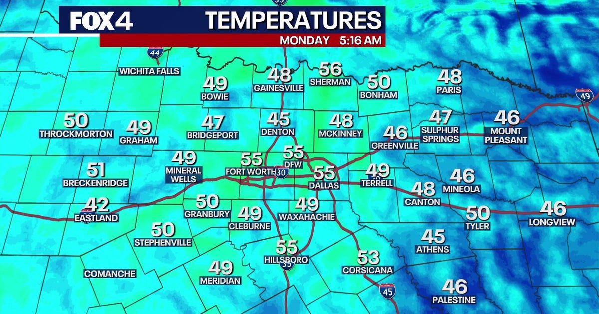 Dallas Weather: Dry week and warming temperatures ahead for DFW
FOX 4's Ali Turiano has the morning forecast for Oct. 19 in North Texas. DALLAS - North Texas will see zero rain and temperatures climbing into the mid-80s this week, while tropical systems remain safely offshore. The…
Sun & moon
Nearby
Forecasts, observations and alerts in the United States come from the National Weather Service (NOAA); radar from NOAA's Multi-Radar Multi-Sensor system; satellite imagery from NASA's Global Imagery Browse Services (GIBS) and NOAA's GOES satellites; the map from the U.S. Geological Survey's National Map; air quality from AirNow (EPA and its partners); hurricane information from the National Hurricane Center; climate normals and records from NOAA's Regional Climate Centers (ACIS). Forecasts outside the United States and the UV index: MET Norway (CC BY 4.0); observations outside the U.S.: airport reports via NOAA's Aviation Weather Center. Place names: GeoNames (CC BY 4.0). Data are copied on a schedule and may lag the sources; for warnings that affect your safety, follow your local National Weather Service office and emergency officials. Weather news is drawn from the 4Conservative index and reflects what the press published. Terms of use.