Install
Bayt Kāḩil, West Bank, Palestine Weather
Current conditions
Forecast for this hour (no station report in the last two hours)
Forecast
10-day-
Saturday
Partly cloudy. High 28°.
-
Saturday Night
Mostly clear. Low 18°.
-
Sunday
Light showers. High 26°.
MET Norway forecast updated 15 hrs ago.
Hourly
Hourly forecast- Now20°
- 19:0019°
- 20:0018°
- 21:0018°
- 22:0018°
- 23:0018°
- Sun00:0018°
- 01:0017°
- 02:0017°
- 03:0017°
- 04:0017°
- 05:0017°
- 06:0017°
- 07:0019°
- 08:0021°
- 09:0023°
- 10:0025°
- 11:0026°
- 12:0026°
- 13:0026°
- 14:0025°
- 15:0024°
- 16:0022°
- 17:0020°
Daily forecast
DetailsRadar
Full mapWeather news near Bayt Kāḩil
More weather news-
 Israel switches to standard time this weekend: when clocks go back and what you need to know
Israel will return to standard time early Sunday, October 25, turning clocks back one hour at 2 a.m. and giving residents extra sleep; here's what to know about smartphone settings, changes to daylight hours and when…
-
 Sharav ahead: temps to hit 38°C this weekend
Israel Meteorological Service warns of dramatic shift starting tomorrow: temperatures climbing to 38°C in Jordan Valley, strong easterly winds up to 50 km/h, extremely low humidity and haze across the country The Israel…
-
 Weather forecast: Rain possible Wednesday, warmer than usual on Thursday
No significant change in the weather is expected Tuesday, with localized rain possible along the coastal plain Wednesday; Warming will be felt later this week, with the weekend already set to be hotter than usual The…
-
 Forecast: Rain gives way to cooler weather, with temperatures set to rise later this week
Temperatures are expected to fall slightly today, while light drizzle may continue along the coastal plain; little change is forecast for Tuesday, but the cooler spell will be short-lived, with temperatures set to rise…
- Cyprus expects up to 70% more rainfall in October–December — Cyprus Mail
In Cyprus, rainfall in October–December could be 20–70% higher than usual, depending on the area of the island. The clearest signal of increased rainfall is expected in October, Cyprus Mail reports, citing Department of…
-
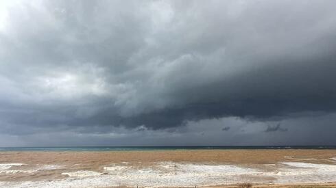 Forecast: Rain continues across Israel as temperatures remain below average
Ynetnews The weather on Sunday will be partly to mostly cloudy, with light, scattered rain expected in northern Israel and along the coastal plain Temperatures will remain below seasonal averages, particularly in…
-
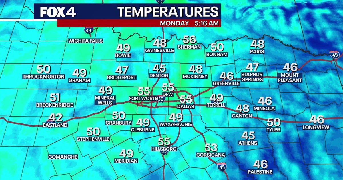 Dallas Weather: Dry week and warming temperatures ahead for DFW
FOX 4's Ali Turiano has the morning forecast for Oct. 19 in North Texas. DALLAS - North Texas will see zero rain and temperatures climbing into the mid-80s this week, while tropical systems remain safely offshore. The…
Sun & moon
Nearby
Forecasts, observations and alerts in the United States come from the National Weather Service (NOAA); radar from NOAA's Multi-Radar Multi-Sensor system; satellite imagery from NASA's Global Imagery Browse Services (GIBS) and NOAA's GOES satellites; the map from the U.S. Geological Survey's National Map; air quality from AirNow (EPA and its partners); hurricane information from the National Hurricane Center; climate normals and records from NOAA's Regional Climate Centers (ACIS). Forecasts outside the United States and the UV index: MET Norway (CC BY 4.0); observations outside the U.S.: airport reports via NOAA's Aviation Weather Center. Place names: GeoNames (CC BY 4.0). Data are copied on a schedule and may lag the sources; for warnings that affect your safety, follow your local National Weather Service office and emergency officials. Weather news is drawn from the 4Conservative index and reflects what the press published. Terms of use.