Install
Yabucoa, Puerto Rico Weather
Current conditions
Observed at San Juan, Luis Munoz Marin International Airport · 59 min ago
Forecast
10-day-
Tonight
Isolated rain showers before 9pm, then scattered showers and thunderstorms. Partly cloudy, with a low around 77. East southeast wind around 6 mph. Chance of precipitation is 50%.
-
Thursday
Scattered rain showers before noon, then a chance of showers and thunderstorms. Partly sunny. High near 89, with temperatures falling to around 83 in the afternoon. Southeast wind 7 to 10 mph. Chance of precipitation is 60%.
-
Thursday Night
A chance of showers and thunderstorms. Mostly cloudy, with a low around 77. East southeast wind 3 to 7 mph. Chance of precipitation is 60%.
National Weather Service forecast updated 9 hrs ago.
Hourly
Hourly forecast- Now79°50%
- 1 AM78°50%
- 2 AM78°50%
- 3 AM78°10%
- 4 AM77°10%
- 5 AM77°10%
- 6 AM79°30%
- 7 AM81°30%
- 8 AM84°30%
- 9 AM86°40%
- 10 AM87°40%
- 11 AM88°40%
- 12 PM89°40%
- 1 PM89°40%
- 2 PM89°40%
- 3 PM88°60%
- 4 PM85°60%
- 5 PM83°60%
- 6 PM82°60%
- 7 PM81°60%
- 8 PM81°60%
- 9 PM80°54%
- 10 PM79°54%
- 11 PM79°54%
10-day forecast
Details- WedOct 21Scattered Rain Showers50%77°90°
- TodayOct 22Chance Showers And Thunderstorms60%77°89°
- FriOct 23Showers And Thunderstorms90%78°89°
- SatOct 24Chance Rain Showers60%78°89°
- SunOct 25Scattered Rain Showers50%75°89°
- MonOct 26Scattered Rain Showers30%75°90°
- TueOct 27Isolated Rain Showers then Sunny10%75°89°
- WedOct 28Light showers0.07 in74°87°
- ThuOct 29Showers0.20 in72°87°
- FriOct 30Partly cloudy0.02 in71°86°
Days after the National Weather Service's seven are MET Norway's outlook, a computer model with no forecaster's review.
Radar
Full mapWeather news
More weather news-
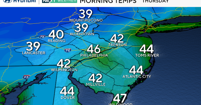 A return of 70s in Philadelphia as coastal flooding concerns diminish. Here's the weather forecast.
October 22, 2026 / 12:00 AM EDT / CBS Philadelphia Thursday will be another dry but breezy day across the Philadelphia region as Subtropical Storm Josephine moves farther away from the East Coast. While we're not…
-
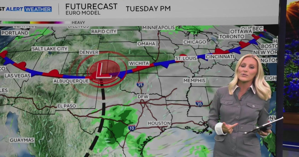 Warm, sunny weather continues in North Texas before clouds return
North Texas will continue enjoying above-average temperatures and sunny skies through the end of the workweek, with highs climbing into the mid-80s by Friday. Clouds begin moving in on Sunday, bringing a little less…
-
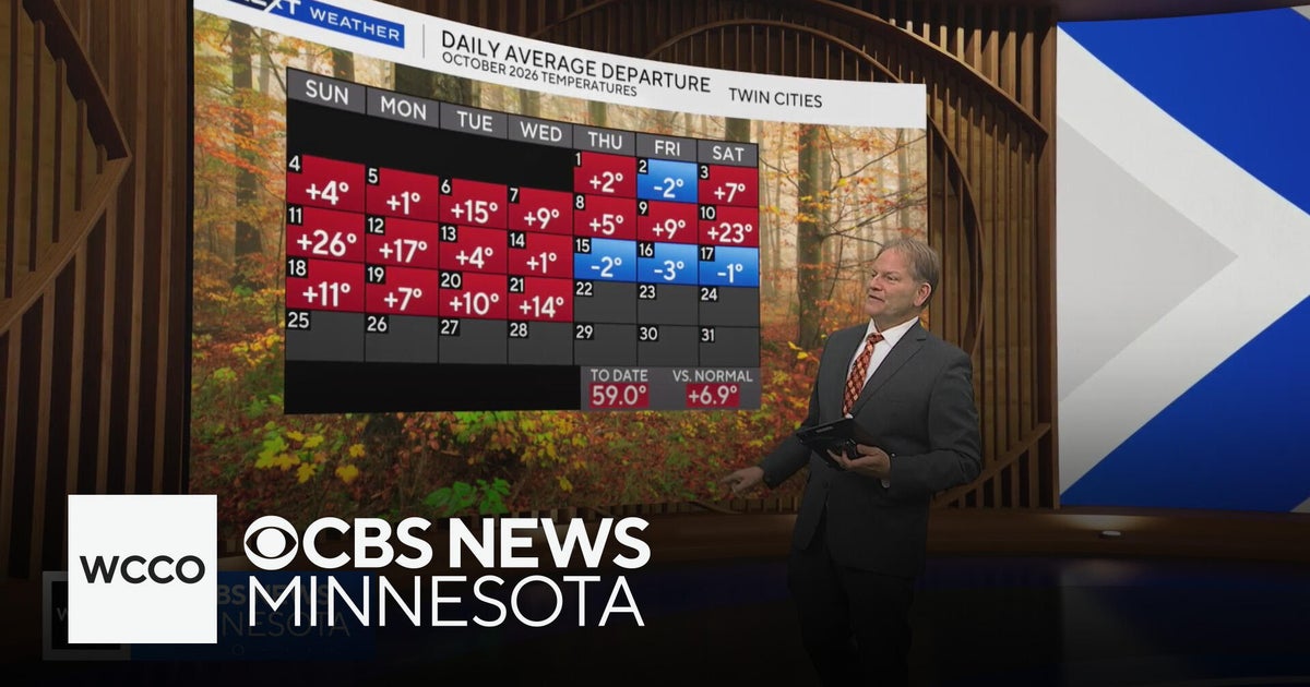 In the midst of a warm Minnesota fall, but cool-down is coming | Oct. 21, 2026
CBS News Minnesota is a local news organization that is part of CBS News and Stations. Also referred to as WCCO-TV and channel 4, CBS News Minnesota offers local breaking news, weather coverage and investigative…
-
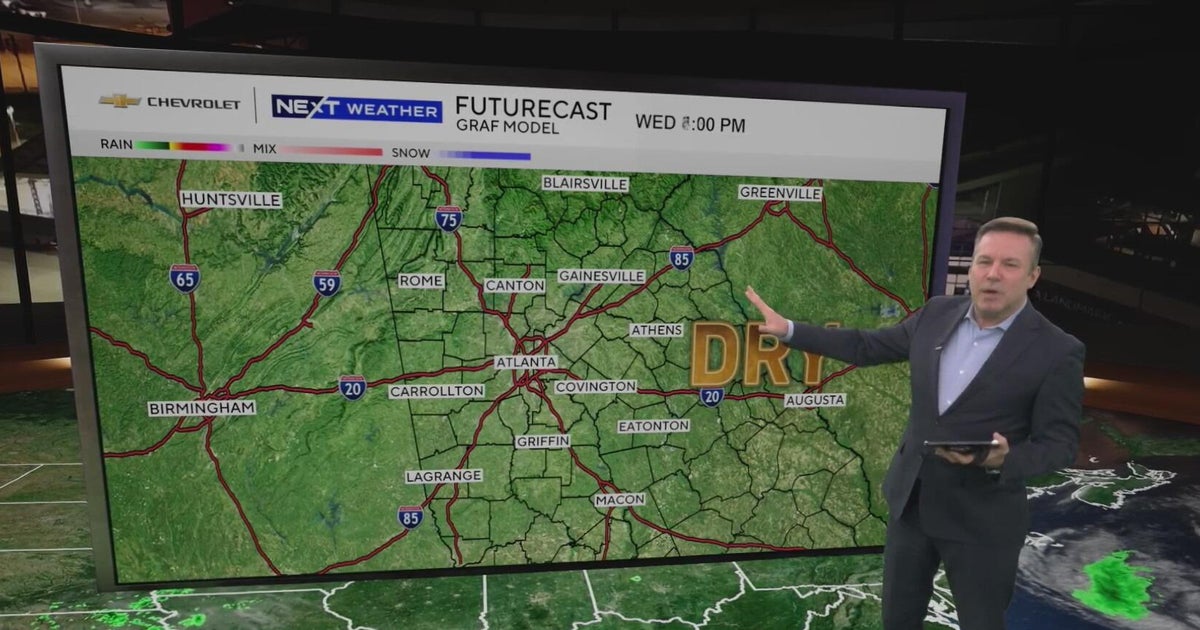 Atlanta forecast: Sunny days continue as low humidity raises fire concerns
Atlanta warms to 76 degrees after a chilly start, with dry weather expected for fans heading to State Farm Arena tonight. Low humidity keeps fire concerns elevated, while a weak front could bring slight rain chances…
-
 Orionid meteor shower peaks tonight; where skies will be clear
A meteor streaks across the sky over a desert in China during the Orionid meteor shower on Oct. 22, 2023. (VCG/VCG via Getty Images) Here's what you need to know about the Orionids and your forecast: While you can make…
-
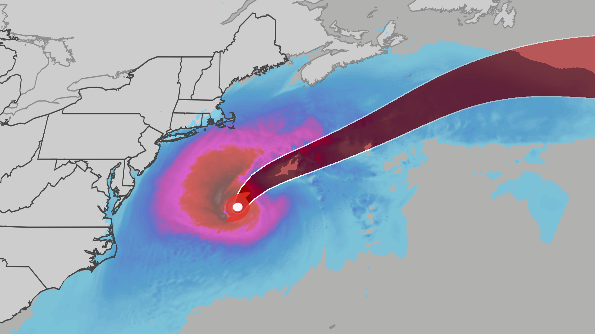 Nor'easter develops into Subtropical Storm Josephine off East Coast
An October nor'easter is still hugging the Atlantic coast, and the National Hurricane Center just officially named the system Subtropical Storm Josephine. Even though the storm has been named Josephine, the impacts will…
-
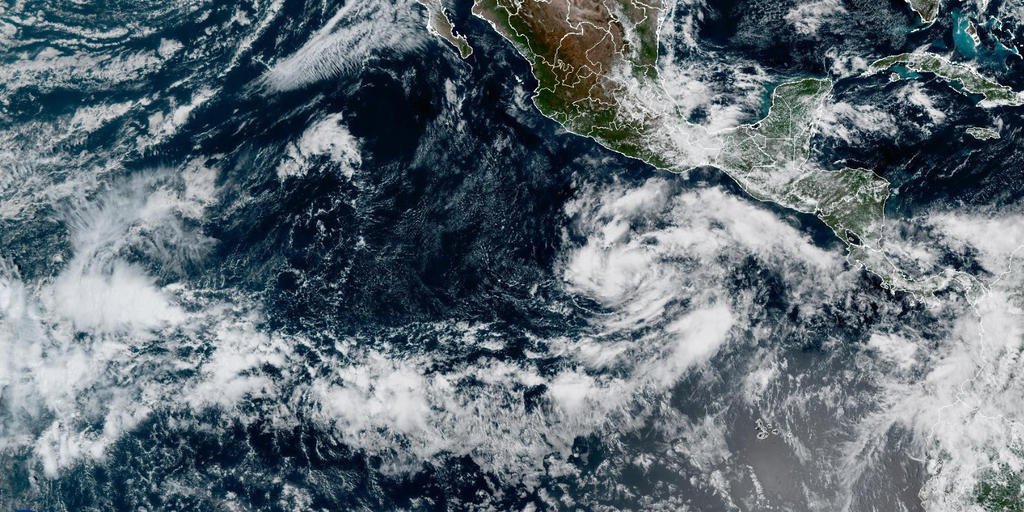 Tropical Storm Vance forms in eastern Pacific as hurricane season reaches rare milestone not seen since 2018
Tropical Storm Vance formed in the Pacific, marking the first V-named storm in the eastern Pacific since 2018. The system has maximum sustained winds of 40 mph and a central pressure of 1,003 mb. The active Pacific…
-
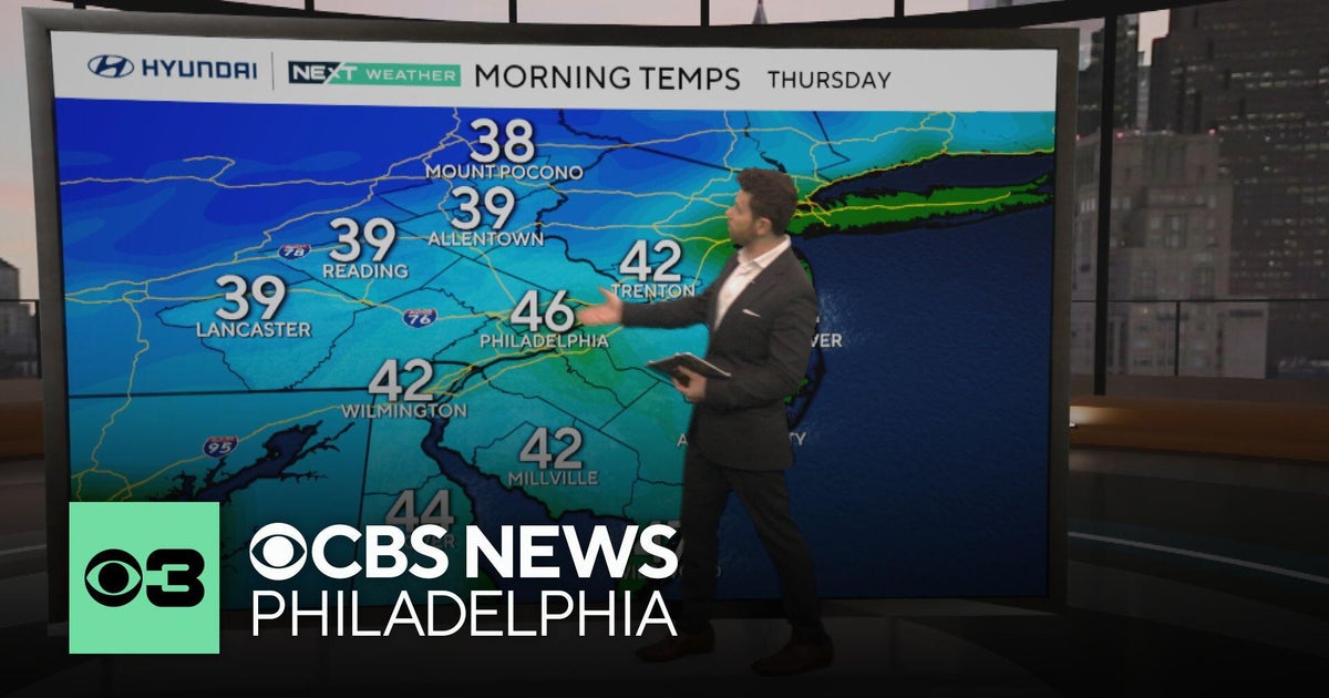 Nice fall weather continues in Philadelphia, tracking Subtropical Storm Josephine
CBS News Philadelphia is a local news organization that is part of CBS News and Stations. Also referred to as KYW-TV and channel 3, CBS News Philadelphia offers local breaking news, weather coverage and investigative…
-
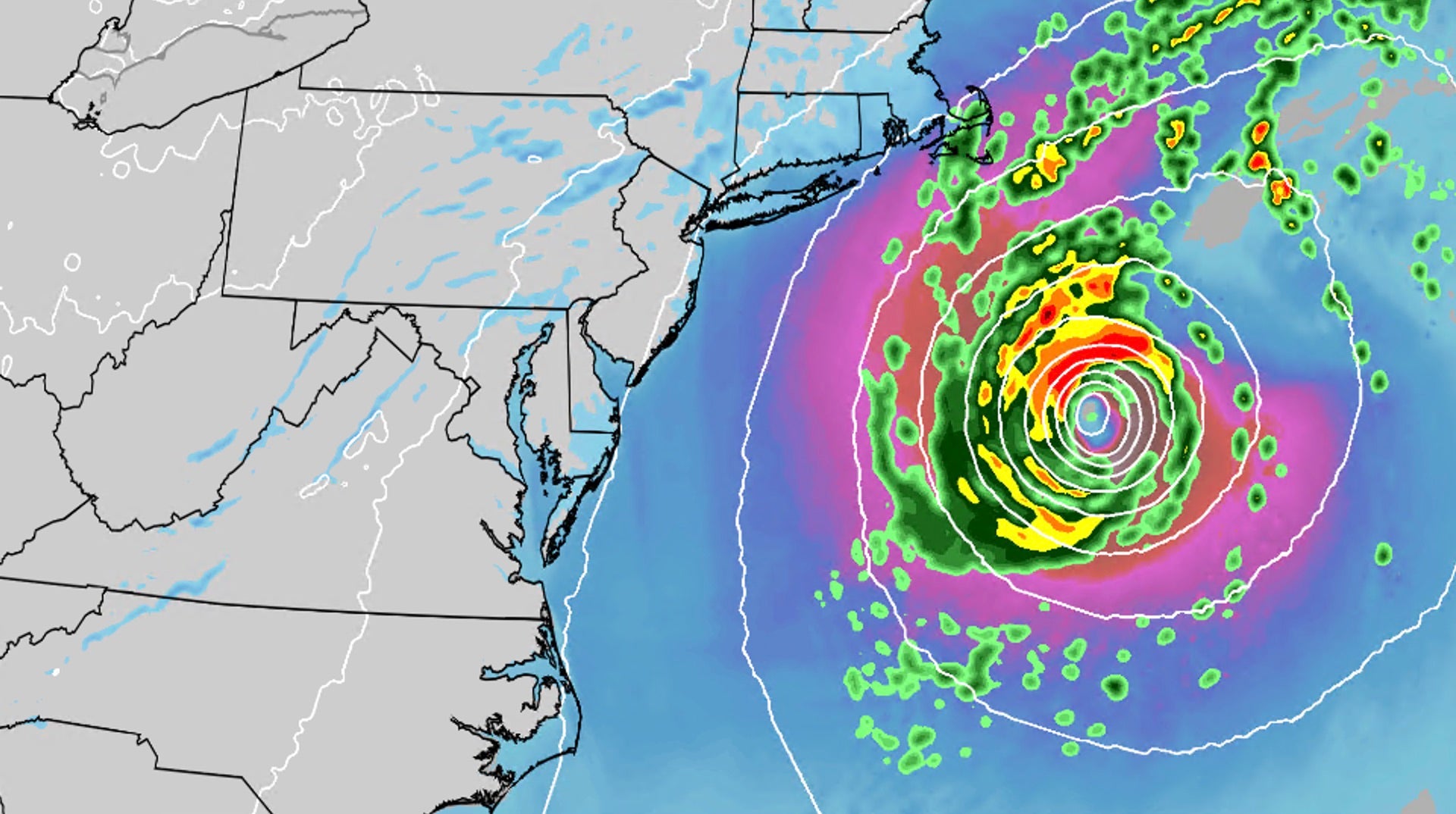 Nor'easter develops into Subtropical Storm Josephine
An October nor'easter is still hugging the Atlantic coast, and the National Hurricane Center just officially named the system Subtropical Storm Josephine. Even though the storm has been named Josephine, the impacts will…
-
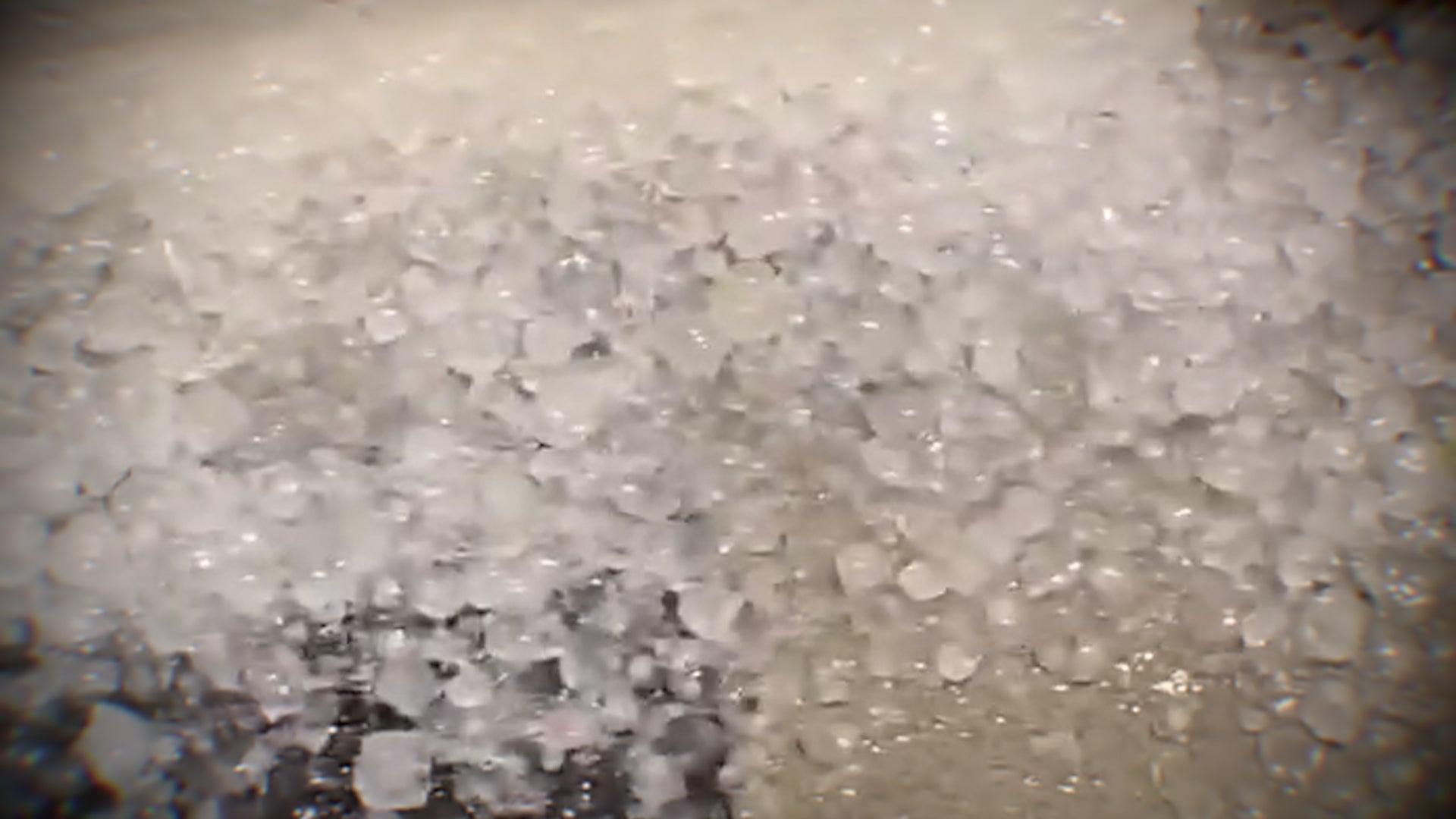 Hail and strong winds hit central Arizona on Tuesday
The Weather Channel Supercell hits Phoenix suburbs with egg-sized hail and 60 mph winds Heavy hail crashed down when thunderstorms rolled through the Phoenix area on Tuesday night. The area saw hail up to the size of…
Air quality
Air quality is satisfactory, and air pollution poses little or no risk.
Catano, PR reporting area · 2 hrs ago. Data from AirNow (EPA and its state, local and tribal partners); preliminary and subject to change.
Sun & moon
Almanac
MonthlyGuayama 1sw, records since 1914. Normals 1991–2020. Data from NOAA's Regional Climate Centers (ACIS).
Nearby
Forecasters' discussion
From the National Weather Service office in SJU, issued 23 hrs ago
Key Messages
Issued at 140 AM AST Wed Oct 21 2026
* A relatively quiet and warm day will give way to wetter conditions as a surge of tropical moisture sweeps across the region Thursday through the weekend. More frequent showers and thunderstorms, including nighttime activity, may produce lightning, gusty winds, and locally heavy rainfall capable of causing flooding.
* A high risk of rip currents continues through this afternoon as northerly swell subsides. Conditions briefly improve Thursday before another swell brings renewed rip current hazards and potentially hazardous seas for small craft Friday into the weekend.
* Warm temperatures today may affect individuals sensitive or vulnerable to heat. Another period of warmer weather is possible Sunday into Monday.
Aviation
(06Z TAFS) Issued at 140 AM AST Wed Oct 21 2026
Strong, slow-moving TSRA over the Atl waters N of PR should gradually diminish aft sunrise, with VCSH/VCTS psbl near TJSJ/TJPS and USVI terminals. VFR conds expected to prevail overnight. Aftn SHRA/TSRA may produce brief MVFR/IFR cigs/vsbys at TJSJ/TJBQ, mainly due to +RA and low cigs. Activity should diminish aft 21/23Z. Sfc winds light/VRB overnight, bcmg SE at 5-10 kt aft 21/13Z, with sea-breeze variations and locally gusty winds near TSRA.
Marine
Issued at 140 AM AST Wed Oct 21 2026
Light to gentle southeasterly winds will gradually become more easterly and increase to moderate to locally fresh speeds toward the end of the week and into the weekend, particularly across the Caribbean waters. A long-period northerly swell continues to subside, allowing seas to gradually improve. However, another swell arriving Friday will likely bring hazardous seas for small craft through the weekend and into early next week. Increasing tropical moisture will also favor more frequent showers and thunderstorms, including nighttime activity, with lightning, gusty winds, and reduced visibility.
Beach Forecast
Issued at 140 AM AST Wed Oct 21 2026
A High Risk of Rip Currents remains in effect through this afternoon along north-facing beaches of Puerto Rico, Culebra, St. Thomas, and St. John. Conditions should briefly improve as the current northerly swell subsides. However, another swell arriving Friday will likely bring a renewed high risk of rip currents and possible high surf impacts along exposed northern beaches through the weekend and into early next week. Beachgoers should avoid swimming at affected beaches and stay away from exposed rocks and jetties. Showers and thunderstorms may also bring lightning and gusty winds to coastal areas.
Forecasts, observations and alerts in the United States come from the National Weather Service (NOAA); radar from NOAA's Multi-Radar Multi-Sensor system; satellite imagery from NASA's Global Imagery Browse Services (GIBS) and NOAA's GOES satellites; the map from the U.S. Geological Survey's National Map; air quality from AirNow (EPA and its partners); hurricane information from the National Hurricane Center; climate normals and records from NOAA's Regional Climate Centers (ACIS). Forecasts outside the United States and the UV index: MET Norway (CC BY 4.0); observations outside the U.S.: airport reports via NOAA's Aviation Weather Center. Place names: GeoNames (CC BY 4.0). Data are copied on a schedule and may lag the sources; for warnings that affect your safety, follow your local National Weather Service office and emergency officials. Weather news is drawn from the 4Conservative index and reflects what the press published. Terms of use.