Install
Guayanilla, Puerto Rico Weather
Current conditions
Forecast for this hour (no station report in the last two hours)
Forecast
10-day-
Thursday
Scattered rain showers before 3pm, then a chance of showers and thunderstorms. Partly sunny. High near 90, with temperatures falling to around 84 in the afternoon. East southeast wind 6 to 12 mph, with gusts as high as 21 mph. Chance of precipitation is 60%. New rainfall amounts between a quarter and half of an inch possible.
-
Thursday Night
Scattered rain showers. Partly cloudy, with a low around 78. East wind 3 to 7 mph. Chance of precipitation is 40%.
-
Friday
Scattered rain showers before noon, then scattered showers and thunderstorms. Partly sunny, with a high near 90. East southeast wind 3 to 12 mph. Chance of precipitation is 50%.
National Weather Service forecast updated 21 hrs ago.
Hourly
Hourly forecast- Now89°40%
- 12 PM90°20%
- 1 PM90°20%
- 2 PM90°20%
- 3 PM89°60%
- 4 PM86°60%
- 5 PM84°60%
- 6 PM83°40%
- 7 PM82°40%
- 8 PM82°40%
- 9 PM81°16%
- 10 PM80°16%
- 11 PM80°16%
- Fri12 AM80°20%
- 1 AM79°20%
- 2 AM79°20%
- 3 AM78°20%
- 4 AM78°20%
- 5 AM78°20%
- 6 AM80°40%
- 7 AM82°40%
- 8 AM85°40%
- 9 AM87°40%
- 10 AM88°40%
10-day forecast
Details- WedOct 21Sunny20%78°91°
- TodayOct 22Chance Showers And Thunderstorms60%78°90°
- FriOct 23Scattered Rain Showers70%78°90°
- SatOct 24Scattered Rain Showers30%78°90°
- SunOct 25Scattered Rain Showers30%77°90°
- MonOct 26Scattered Showers And Thunderstorms50%77°91°
- TueOct 27Mostly Sunny then Scattered Rain Showers40%76°91°
- WedOct 28Showers0.08 in73°86°
- ThuOct 29Partly cloudy73°86°
- FriOct 30Sunny73°86°
Days after the National Weather Service's seven are MET Norway's outlook, a computer model with no forecaster's review.
Radar
Full mapWeather news
More weather news-
 Minnesota gets 3 more days in the 70s, then a cold front cuts the weekend in half | Oct. 22, 2026
Thursday and likely Friday and Saturday all reach the mid 70s, then a cold front moves through Saturday evening and night, dropping highs into the 50s Sunday and the lower 50s Monday through Wednesday, WCCO…
-
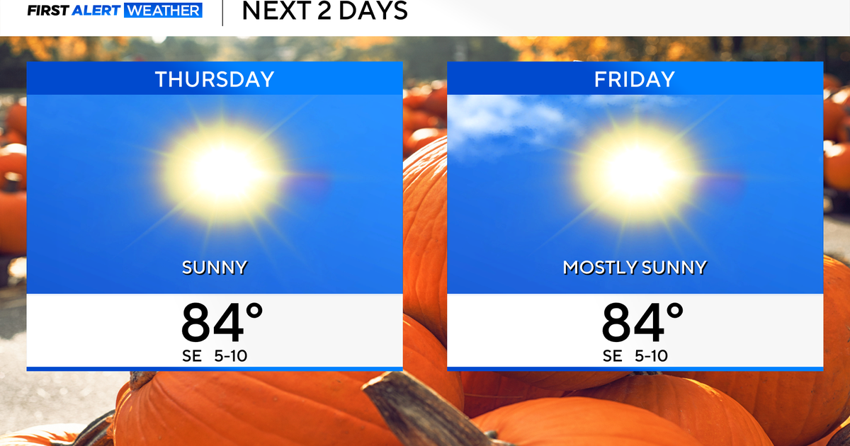 Temperatures to stay in 80s through weekend as clouds increase across North Texas
October 22, 2026 / 7:57 AM CDT / CBS Texas Temperatures are in the 50s and low 60s when you step outside to start your day. The forecast is almost identical to Wednesday, with sunshine and highs in the 80s in store for…
-
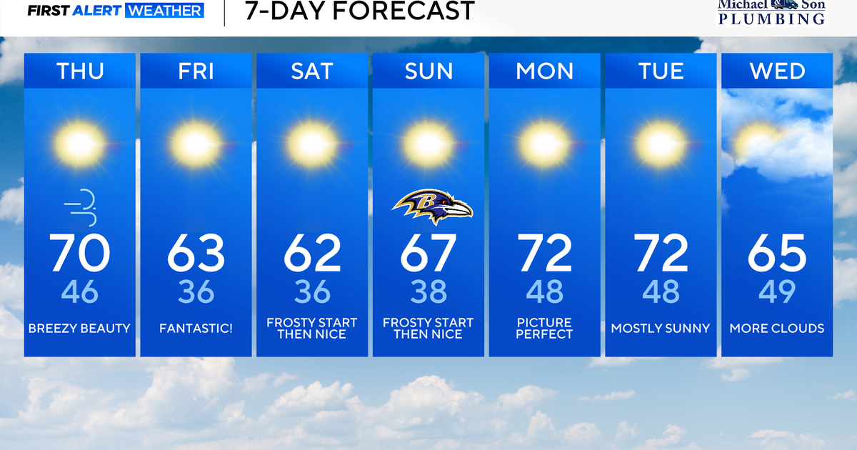 Classic fall weather for Maryland to enjoy through the weekend
Updated on: October 22, 2026 / 8:47 AM EDT / CBS Baltimore Subtropical Storm Josephine, which has been over 500 miles offshore, will continue its journey out to sea. This means rough surf, beach erosion, and coastal…
-
 Weather warning in place ahead of Storm Boelo
Strong winds of up to 75mph could cause disruption across parts of Northern Ireland this weekend as Storm Boelo moves in. A Met Office weather warning has been issued from 18:00 BST on Saturday until 15:00 GMT on…
-
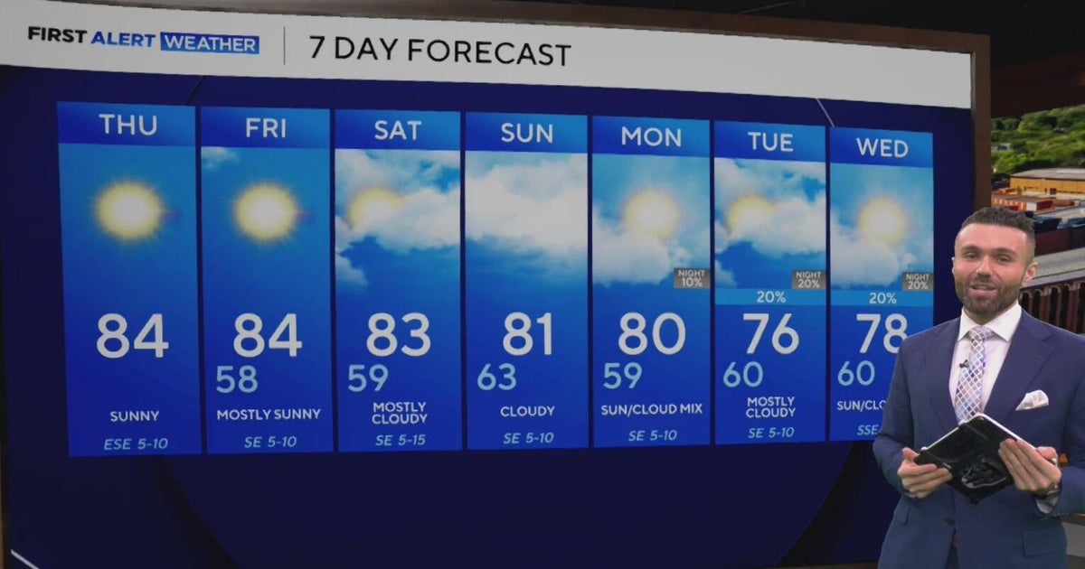 Cloudy, warm weekend on deck as temperatures stay in the low 80s in North Texas
CBS News Baltimore 8am CBS News Boston 8am CBS News Chicago 7am CBS News Colorado This Morning 6am CBS News Los Angeles Mornings 5am CBS News Miami 8am CBS News New York 8am CBS News Texas 7am
-
 Amazing fall weather in Minnesota | Oct. 22, 2026
CBS News Baltimore 8am CBS News Boston 8am CBS News Chicago 7am CBS News Colorado This Morning 6am CBS News Los Angeles Mornings 5am CBS News Miami 8am CBS News New York 8am CBS News Texas 7am
-
 Summery fall warmth continues Thursday in Twin Cities ahead of weekend cooldown
October 22, 2026 / 6:38 AM CDT / CBS Minnesota Thursday will be mostly sunny and mild in the Twin Cities with highs in the mid 70s. Friday will be another warm day in the 70s, with a few clouds and isolated showers…
-
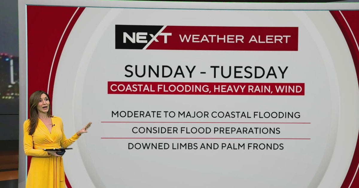 South Florida sees spotty showers ahead of weekend flooding, strong wind threats
October 22, 2026 / 7:30 AM EDT / CBS Miami South Florida will see warmer temperatures and spotty afternoon showers Thursday as the region prepares for a stretch of wet and windy weather that could bring heavy downpours…
-
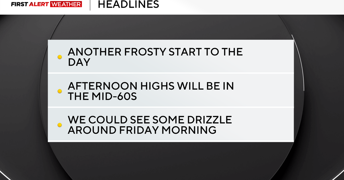 Frosty mornings turn into sunny and comfortable afternoons in the Pittsburgh region
October 22, 2026 / 6:47 AM EDT / CBS Pittsburgh The stretch of cool mornings giving way to pleasant afternoons will continue for at least the next week and beyond. This is the time of year when morning traffic accidents…
-
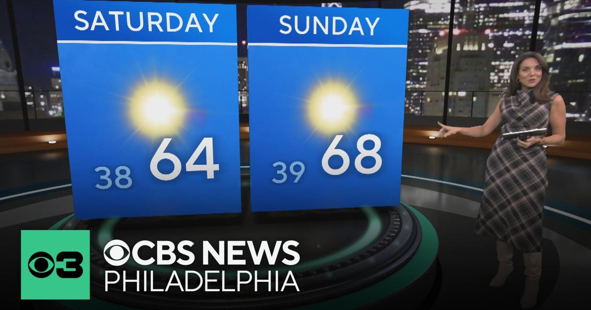 Sunny, breezy day across the Philadelphia region | NEXT Weather
WBZ This Morning 6am CBS News Chicago 5am CBS News Detroit 6am CBS News Miami 6am CBS News Philadelphia 6am KDKA-TV Morning News 6am CBS News Texas 5am
Sun & moon
Almanac
MonthlyPonce 4 E, records since 1898. Normals 1991–2020. Data from NOAA's Regional Climate Centers (ACIS).
Nearby
- Ponce 18 km
- Arecibo 51 km
- Mayagüez 42 km
- Barceloneta 55 km
- Yauco 6 km
- Manatí 55 km
- Aguadilla 59 km
- Isabela 59 km
- San Germán 28 km
- Coamo 46 km
- Hormigueros 38 km
- San Sebastián 41 km
Forecasters' discussion
From the National Weather Service office in SJU, issued 9 hrs ago
Key Messages
Issued at 200 AM AST Thu Oct 22 2026
* A wetter pattern today through Saturday will bring more frequent showers and thunderstorms, including nighttime activity. Heavy downpours may cause urban and small-stream flooding, rapid river rises, and isolated flash flooding. Repeated rainfall will also increase the potential for landslides along vulnerable slopes.
* A moderate risk of rip currents will persist along exposed northern beaches today. Another northerly swell arriving early Friday will bring a renewed high risk along northern Puerto Rico, with dangerous rip currents potentially continuing through the weekend and into early next week.
* Warm and humid conditions will continue, particularly during periods of sunshine. Heat impacts may become more pronounced Sunday and Monday, especially across coastal and urban areas and among individuals sensitive to heat.
Aviation
(06Z TAFS) Issued at 200 AM AST Thu Oct 22 2026
Mainly VFR conds expected, with VCSH at TJPS/TIST/TISX overnight into the morning as moisture increases from the S. SHRA/TSRA developing over interior and northern PR aft 22/17Z may produce periods of MVFR and brief IFR cigs/vsbys with direct +RA/TSRA passage at TJBQ and possibly TJSJ, with TJBQ impacts favored later in the 22/17-23Z period. Brief MVFR vsbys also psbl with passing SHRA at USVI terminals. Sfc winds L/V overnight, bcmg ESE-SE at 8-10 kt aft 22/13Z, with sea-breeze variations and locally gusty winds near TSRA.
Marine
Issued at 200 AM AST Thu Oct 22 2026
Light to gentle southeasterly winds will become east to southeast and increase to moderate to locally fresh speeds Friday into the weekend as the pressure gradient tightens. The current northerly swell will continue to subside today before another north- northwesterly swell arrives early Friday, followed by additional pulses through the weekend. Seas will build to 5 to 6 feet across portions of the Atlantic waters and Mona Passage, generally remaining below Small Craft Advisory criteria, although small craft should exercise caution. More frequent showers and thunderstorms, including nighttime activity, will bring lightning, gusty winds, reduced visibility, and locally higher seas.
Beach Forecast
Issued at 200 AM AST Thu Oct 22 2026
Subsiding northerly swell will allow a moderate risk of rip currents today along exposed beaches of northern and northwestern Puerto Rico, Culebra, St. Thomas, and St. John. Another north- northwesterly swell arriving early Friday will bring a renewed high risk along northern Puerto Rico, where breaking waves around 6 feet are forecast Friday and Saturday. Additional swell pulses may maintain dangerous rip currents through the weekend and into early next week. Increasing shower and thunderstorm activity will also bring lightning and gusty winds to coastal areas. Beachgoers should avoid swimming where the rip current risk is high and seek shelter indoors when thunderstorms approach.
Forecasts, observations and alerts in the United States come from the National Weather Service (NOAA); radar from NOAA's Multi-Radar Multi-Sensor system; satellite imagery from NASA's Global Imagery Browse Services (GIBS) and NOAA's GOES satellites; the map from the U.S. Geological Survey's National Map; air quality from AirNow (EPA and its partners); hurricane information from the National Hurricane Center; climate normals and records from NOAA's Regional Climate Centers (ACIS). Forecasts outside the United States and the UV index: MET Norway (CC BY 4.0); observations outside the U.S.: airport reports via NOAA's Aviation Weather Center. Place names: GeoNames (CC BY 4.0). Data are copied on a schedule and may lag the sources; for warnings that affect your safety, follow your local National Weather Service office and emergency officials. Weather news is drawn from the 4Conservative index and reflects what the press published. Terms of use.