Install
Camuy, Puerto Rico Weather
Current conditions
Forecast for this hour (no station report in the last two hours)
Forecast
10-day-
Thursday
Showers and thunderstorms after noon. Mostly cloudy. High near 88, with temperatures falling to around 81 in the afternoon. East southeast wind around 6 mph. Chance of precipitation is 100%. New rainfall amounts between three quarters and one inch possible.
-
Thursday Night
Scattered rain showers. Partly cloudy, with a low around 74. South southeast wind around 6 mph. Chance of precipitation is 30%.
-
Friday
Isolated rain showers before noon, then showers and thunderstorms. Partly sunny, with a high near 88. East wind 3 to 8 mph. Chance of precipitation is 100%.
National Weather Service forecast updated 1 day ago.
Hourly
Hourly forecast- Now87°100%
- 4 PM84°100%
- 5 PM81°100%
- 6 PM80°30%
- 7 PM79°30%
- 8 PM78°30%
- 9 PM78°11%
- 10 PM77°11%
- 11 PM76°11%
- Fri12 AM76°10%
- 1 AM76°10%
- 2 AM75°10%
- 3 AM75°10%
- 4 AM74°10%
- 5 AM74°10%
- 6 AM76°10%
- 7 AM79°10%
- 8 AM82°10%
- 9 AM84°10%
- 10 AM86°10%
- 11 AM87°10%
- 12 PM88°100%
- 1 PM88°100%
- 2 PM88°100%
10-day forecast
Details- WedOct 21Chance Showers And Thunderstorms60%74°88°
- TodayOct 22Mostly Cloudy then Showers And Thunderstorms100%74°88°
- FriOct 23Showers And Thunderstorms100%75°88°
- SatOct 24Mostly Sunny then Chance Rain Showers60%75°88°
- SunOct 25Mostly Sunny then Scattered Showers And Thunderstorms50%75°88°
- MonOct 26Mostly Sunny then Scattered Rain Showers40%75°88°
- TueOct 27Scattered Rain Showers30%74°89°
- WedOct 28Light showers0.09 in73°86°
- ThuOct 29Mostly sunny0.02 in74°85°
- FriOct 30Sunny74°86°
Days after the National Weather Service's seven are MET Norway's outlook, a computer model with no forecaster's review.
Radar
Full mapWeather news
More weather news-
 South East prepares for impact of Storm Austen
Seafront closures, cancelled events and travel disruption are expected as the first named storm of the season approaches south-east England. The Met Office has issued a yellow weather warning for wind across the region…
-
 Josephine in Atlantic drifts away, but Pacific moisture might spoil Halloween for Texas
Subtropical Storm Josephine in the North Atlantic is racing away from the United States, while moisture from a strengthening eastern Pacific storm could bring rain to Texas around Halloween next week. Josephine's center…
-
 Minnesota gets 3 more days in the 70s, then a cold front cuts the weekend in half | Oct. 22, 2026
Thursday and likely Friday and Saturday all reach the mid 70s, then a cold front moves through Saturday evening and night, dropping highs into the 50s Sunday and the lower 50s Monday through Wednesday, WCCO…
-
 Hail the size of golf balls pummels parts of Arizona as rare storm moves through the West
PHOENIX — Hail the size of golf balls and damaging wind gusts pounded northern and central Arizona in a rare storm blowing through, bringing with it tornado risks and possible flash floods. The National Weather Service…
-
 Bryan Norcross: The last day for Subtropical Storm Josephine before it morphs into a non-tropical system
The system that was the non-tropical nor'easter and yesterday morphed into Subtropical Storm Josephine is forecast to remorph into a non-tropical North Atlantic system late today or tonight. Except for southeastern New…
-
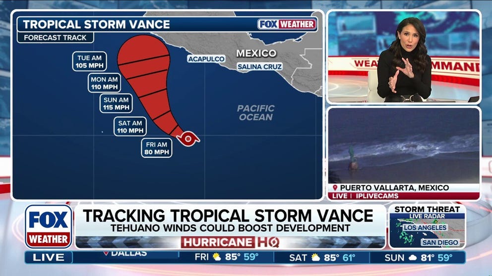 Tropical Storm Vance could intensify into a major hurricane, while Champi threatens Taiwan and Japan
Tropical Storm Vance is expected to strengthen into the 13th hurricane in the Pacific Basin this season as it approaches Mexico next week. Vance could intensify into a major hurricane, which would be the basin's 10th…
-
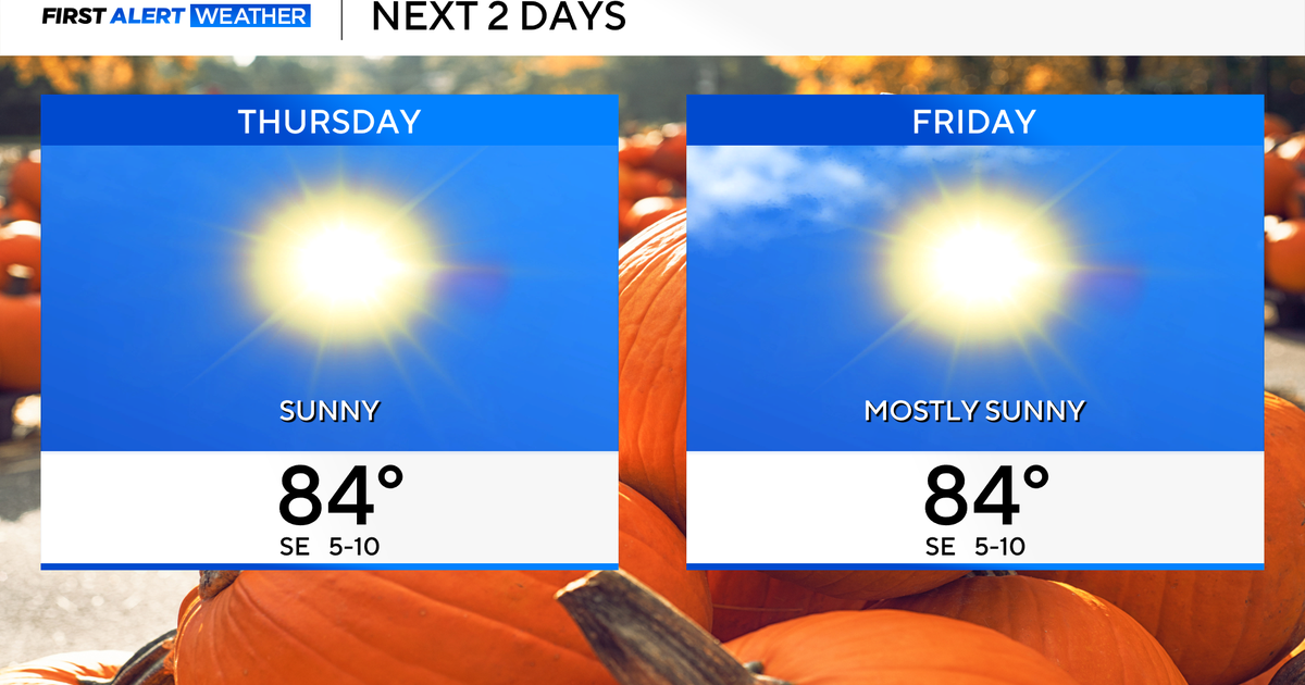 Temperatures to stay in 80s through weekend as clouds increase across North Texas
October 22, 2026 / 7:57 AM CDT / CBS Texas Temperatures are in the 50s and low 60s when you step outside to start your day. The forecast is almost identical to Wednesday, with sunshine and highs in the 80s in store for…
-
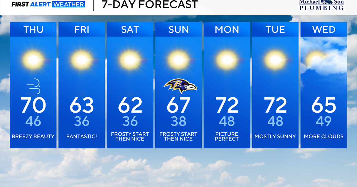 Classic fall weather for Maryland to enjoy through the weekend
Updated on: October 22, 2026 / 8:47 AM EDT / CBS Baltimore Subtropical Storm Josephine, which has been over 500 miles offshore, will continue its journey out to sea. This means rough surf, beach erosion, and coastal…
-
 Weather warning in place ahead of Storm Boelo
Strong winds of up to 75mph could cause disruption across parts of Northern Ireland this weekend as Storm Boelo moves in. A Met Office weather warning has been issued from 18:00 BST on Saturday until 15:00 GMT on…
-
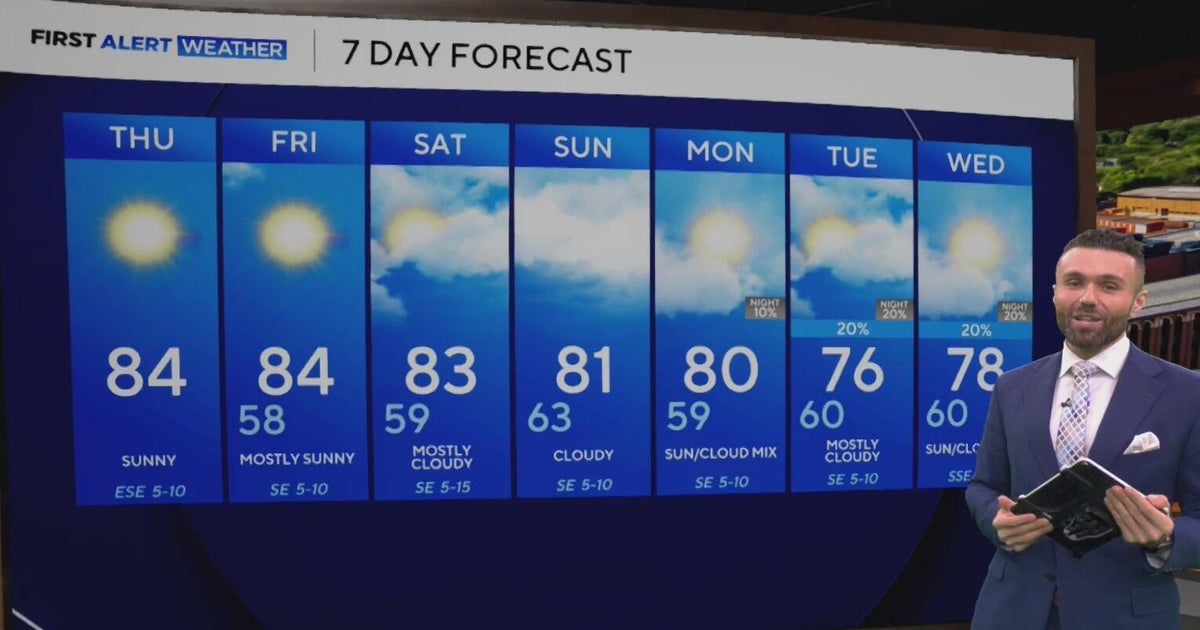 Cloudy, warm weekend on deck as temperatures stay in the low 80s in North Texas
CBS News Baltimore 8am CBS News Boston 8am CBS News Chicago 7am CBS News Colorado This Morning 6am CBS News Los Angeles Mornings 5am CBS News Miami 8am CBS News New York 8am CBS News Texas 7am
Air quality
Air quality is satisfactory, and air pollution poses little or no risk.
Catano, PR reporting area · 2 hrs ago. Data from AirNow (EPA and its state, local and tribal partners); preliminary and subject to change.
Sun & moon
Almanac
MonthlyColoso, records since 1899. Normals 1991–2020. Data from NOAA's Regional Climate Centers (ACIS).
Nearby
- Ponce 58 km
- Arecibo 14 km
- Mayagüez 44 km
- Vega Baja 48 km
- Barceloneta 33 km
- Yauco 50 km
- Manatí 38 km
- Aguadilla 33 km
- Isabela 19 km
- San Germán 49 km
- Vega Alta 55 km
- Hormigueros 49 km
Forecasters' discussion
From the National Weather Service office in SJU, issued 1 hr ago
Key Messages
Issued at 158 PM AST Thu Oct 22 2026
- Seasonal to above-normal tropical moisture, combined with a southeasterly flow, will maintain a wetter pattern from this afternoon through Saturday. Heavy downpours may cause urban and small-stream flooding, rapid rises in river levels, and isolated flash flooding.
- This afternoon, the interior, north-central, and northwestern portions of Puerto Rico have the greatest potential for rainfall. Tonight, showers and thunderstorms are likely across the Caribbean waters and Mona Passage, with some activity potentially moving into southern and western Puerto Rico overnight.
- A northerly swell is expected to arrive late tonight into Friday, resulting in a high risk of rip currents along north- facing beaches beginning tomorrow and potentially continuing into early next week.
- Warm and humid conditions will persist, particularly during periods of sunshine. Heat impacts may become more pronounced early next week, especially along the coasts, in low-lying areas, interior valleys, and urban areas.
Aviation
(18Z TAFS) Issued at 158 PM AST Thu Oct 22 2026
Mainly VFR conds expected across PR and USVI terminals thru the evening, with ISOLD SHRA, resulting in VCSH mainly at TJBQ/TJSJ. Increasing moisture will favor more frequent SHRA/TSRA mainly across TJPS aft 23/03Z, with PROB30 TSRA and MVFR/IFR conds thru 23/14Z. Sfc winds mainly S-SE at 5-10 kt, bcmg L/V overnight, then 10-12 kt with higher gusts and sea-breeze variations.
Marine
Issued at 158 PM AST Thu Oct 22 2026
Light to gentle southeasterly winds will become east to southeast and increase from gentle to locally fresh Friday into the weekend as the pressure gradient tightens. A north-northwesterly swell is expected to arrive late tonight into early Friday, followed by additional pulses through the weekend. Seas will build to 5 to 6 feet across portions of the Atlantic waters and Mona Passage. Small craft operators should exercise caution. More frequent showers and thunderstorms, including nighttime activity, will bring lightning, gusty winds, reduced visibility, and locally higher seas.
Beach Forecast
Issued at 158 PM AST Thu Oct 22 2026
A northwesterly swell is expected to arrive late tonight into Friday, bringing back a high risk of rip currents along north- facing beaches of Puerto Rico, Culebra, and northern U.S. Virgin Islands. Hazardous swimming and beach conditions with breaking waves of around 6 to 7 feet are forecast. Additional swell pulses will likely maintain the high risk through the weekend and into early next week. Beachgoers are strongly urged to avoid entering the water at beaches under a high rip current risk. Heed all beach signs and instructions from lifeguards and local authorities. Also, shower and thunderstorm activity will bring lightning and gusty winds to coastal areas. If thunderstorms approach, leave the beach immediately and seek shelter.
Forecasts, observations and alerts in the United States come from the National Weather Service (NOAA); radar from NOAA's Multi-Radar Multi-Sensor system; satellite imagery from NASA's Global Imagery Browse Services (GIBS) and NOAA's GOES satellites; the map from the U.S. Geological Survey's National Map; air quality from AirNow (EPA and its partners); hurricane information from the National Hurricane Center; climate normals and records from NOAA's Regional Climate Centers (ACIS). Forecasts outside the United States and the UV index: MET Norway (CC BY 4.0); observations outside the U.S.: airport reports via NOAA's Aviation Weather Center. Place names: GeoNames (CC BY 4.0). Data are copied on a schedule and may lag the sources; for warnings that affect your safety, follow your local National Weather Service office and emergency officials. Weather news is drawn from the 4Conservative index and reflects what the press published. Terms of use.