Install
Kakad Wari Dir Upper, Khyber Pakhtunkhwa, Pakistan Weather
Current conditions
Forecast for this hour (no station report in the last two hours)
Forecast
10-day-
Saturday
Light showers. High 22°. Precipitation 1.0 mm for the day.
-
Saturday Night
Partly cloudy. Low 12°. Precipitation 1.0 mm for the day.
-
Sunday
Rain. High 22°. Precipitation 0.7 mm for the day.
MET Norway forecast updated 1 day ago.
Hourly
Hourly forecast- Now12°
- 22:0012°
- 23:0012°
- Sun00:0013°
- 01:0013°
- 02:0013°
- 03:0013°
- 04:0013°
- 05:0013°
- 06:0013°
- 07:0013°
- 08:0016°
- 09:0018°
- 10:0019°
- 11:0021°
- 12:0022°
- 13:0021°0.3
- 14:0020°0.2
- 15:0019°0.2
- 16:0019°
- 17:0017°
- 18:0015°
- 19:0014°
- 20:0014°
Daily forecast
DetailsRadar
Full mapWeather news in Pakistan
More weather news-
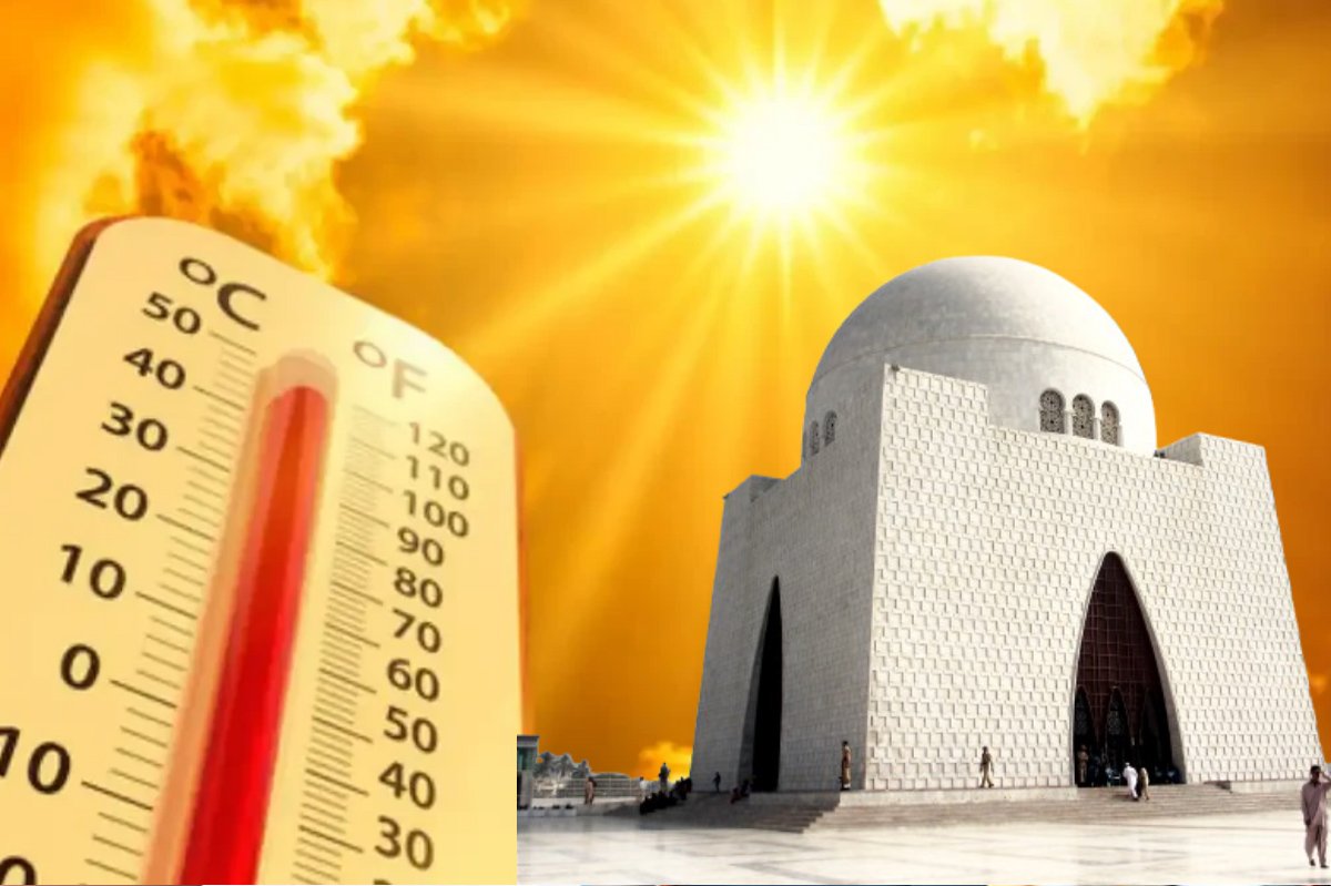 Karachi Swelters Under 40°C Heat, Sea Breeze May Offer Evening Relief
KARACHI: Intense heat continues to grip Karachi, with temperatures forecast to reach 40°C today. The scorching conditions are expected to persist during the day, although sea breezes moving in from the southwest may…
-
 Bay Of Bengal Low Pressure: Heavy Rain Warning For Andhra
The IMD said a surface circulation entering the North Andaman Sea may cause a low pressure over the southeast and adjoining east-central Bay of Bengal by Friday. The system may move northwest and strengthen further over…
-
 Locust Watch: Seasonal precipitation predictions in the Desert Locust summer/winter breeding areas (November 2026–April 2027) (21 October 2026)
Extremely strong El Niño conditions and a more positive Indian Ocean Dipole (IOD) favour we er conditions in eastern Africa, although the spring signal in Northwest Africa requires further confirmation. Dry conditions…
-
 El Nino could be unprecedented, may rise to 3.8°C above average between Nov-Jan: WMO
WMO declares an El Niño when the sea surface temperature anomaly in the tropical Pacific is 0.5°C and higher. The outlook, shared late on Wednesday, said a very strong El Niño disrupts normal temperature and rainfall…
-
 Showers above 100mm expected in several provinces
රංජන්ගේ මැම්බර් | 2026.10.09 රංජන්ගේ මැම්බර් | 2026.10.06 රංජන්ගේ මැම්බර් | 2026.10.01 රංජන්ගේ මැම්බර් | 2026.09.27 රංජන්ගේ මැම්බර් | 2026.09.26 Actor Imran Khan told to leave India for protesting in Mumbai ACPOSL…
-
 Karachi weather to remain very warm with hazy sunshine this week
Karachi is forecast to experience temperatures of up to 37°C from Thursday to Saturday, with sunny spells, hazy skies and no rain expected, according to AccuWeather. KARACHI, October 21, 2026: Karachi is expected to…
- Pakistan weather: Dry conditions, temperatures reach 40°C in Sindh
PMD forecasts mainly dry and hot weather across most parts of Pakistan on Tuesday and Wednesday, while northern areas are expected to remain partly cloudy and cold during mornings and nights. The Pakistan Meteorological…
-
 Showery weather to intensify across island from today
රංජන්ගේ මැම්බර් | 2026.10.09 රංජන්ගේ මැම්බර් | 2026.10.06 රංජන්ගේ මැම්බර් | 2026.10.01 රංජන්ගේ මැම්බර් | 2026.09.27 රංජන්ගේ මැම්බර් | 2026.09.26 Gunfire targets Tiger Shroff in Mumbai Actor Imran Khan told to leave…
- Karachi residents brace for more heat as high temperatures loom in November
Karachi’s average daytime temperature for November is 32.6°C. KARACHI: Karachi residents can expect several more days of hot, dry weather, with temperatures potentially climbing to 38 degrees Celsius by Friday, the…
- Karachi weather: Temperature to reach 39°C as hot, dry conditions persist
Pakistan Meteorological Department forecasts continued sunshine and heat in Karachi, with cooler mornings and nights expected from mid-November. KARACHI, October 19, 2026: Karachi is expected to experience hot and dry…
Sun & moon
Nearby
- Mingora 36 km
- Bat Khela 43 km
- Dursh Khela 35 km
- Upper Dir 29 km
- Thal 56 km
- Khar 58 km
- Batwar Salarzai 52 km
Forecasts, observations and alerts in the United States come from the National Weather Service (NOAA); radar from NOAA's Multi-Radar Multi-Sensor system; satellite imagery from NASA's Global Imagery Browse Services (GIBS) and NOAA's GOES satellites; the map from the U.S. Geological Survey's National Map; air quality from AirNow (EPA and its partners); hurricane information from the National Hurricane Center; climate normals and records from NOAA's Regional Climate Centers (ACIS). Forecasts outside the United States and the UV index: MET Norway (CC BY 4.0); observations outside the U.S.: airport reports via NOAA's Aviation Weather Center. Place names: GeoNames (CC BY 4.0). Data are copied on a schedule and may lag the sources; for warnings that affect your safety, follow your local National Weather Service office and emergency officials. Weather news is drawn from the 4Conservative index and reflects what the press published. Terms of use.