Install
Taganak, Autonomous Region in Muslim Mindanao, Philippines Weather
Current conditions
Forecast for this hour (no station report in the last two hours)
Forecast
10-day-
Saturday
Heavy showers. High 28°. Precipitation 15.8 mm for the day.
-
Saturday Night
Heavy showers. Low 27°. Precipitation 15.8 mm for the day.
-
Sunday
Light showers. High 29°. Precipitation 8.8 mm for the day.
MET Norway forecast updated 1 day ago.
Hourly
Hourly forecast- Now28°0.8
- 03:0028°0.3
- 04:0028°1.8
- 05:0027°0.6
- 06:0028°
- 07:0028°0.8
- 08:0028°
- 09:0028°0.6
- 10:0027°
- 11:0028°
- 12:0028°0.4
- 13:0027°0.2
- 14:0028°1.0
- 15:0028°1.0
- 16:0028°0.7
- 17:0028°1.2
- 18:0028°1.6
- 19:0028°2.7
- 20:0027°0.8
- 21:0028°0.3
- 22:0028°0.5
- 23:0028°0.5
- Sun00:0028°0.2
- 01:0028°0.4
Daily forecast
DetailsRadar
Full mapWeather news in Philippines
More weather news-
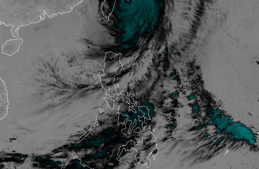 Rain eases in Batanes as Typhoon Rosal starts moving away
ROSAL. Satellite image of Typhoon Rosal (Champi) as of October 23, 2026, 4 pm. MANILA, Philippines – Typhoon Rosal (Champi) is now less likely to bring significant rainfall to Batanes, the weather bureau said on Friday…
-
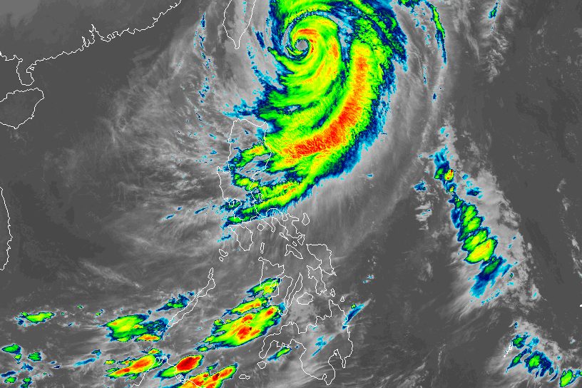 Typhoon Rosal still bringing moderate to heavy rain to Batanes
ROSAL. Satellite image of Typhoon Rosal (Champi) as of October 23, 2026, 4 am. MANILA, Philippines – Typhoon Rosal (Champi) continued to affect Batanes and other parts of Northern Luzon on Friday, October 23, even…
-
 Hard freeze coming to Massachusetts this weekend
Massachusetts is in for a stretch of quiet, dry weather, but forecasters say residents should prepare for a hard freeze this weekend as temperatures plunge well below freezing across much of the state. Post-Tropical…
-
 Exact time Storm Boelo will strike UK with torrential rain & 80mph winds as schools, zoos & holiday parks forced to shut
BRITS are bracing for further rain and strong winds as stormy conditions continue to sweep across parts of the UK. The Met Office has issued amber and yellow weather warnings as Storm Austen has left thousands without…
-
 'Rosal' weakens further, likely to be downgraded to tropical storm by Saturday | ABS-CBN News
'Rosal' weakens further, likely to be downgraded to tropical storm by Saturday ABS-CBN 'Rosal' weakens further, likely to be downgraded to tropical storm by Saturday Your go-to source for the latest news, entertainment…
-
 Meghan Markle: UK police warned me of ‘disturbing’ allegations against my father
Speaking after Thomas Markle was reported on suspicion of possessing child sex abuse images, Duchess of Sussex says allegations were shared with her in 2018 The Duchess of Sussex has said she is “deeply distressed” over…
- Zamboanga City suspends classes as heat index reaches danger level
Republic of the Philippines ZAMBOANGA CITY – The city government suspended classes in public and private schools on Thursday due to the extreme heat index. City Administrator Percival Ramos issued the order at the…
-
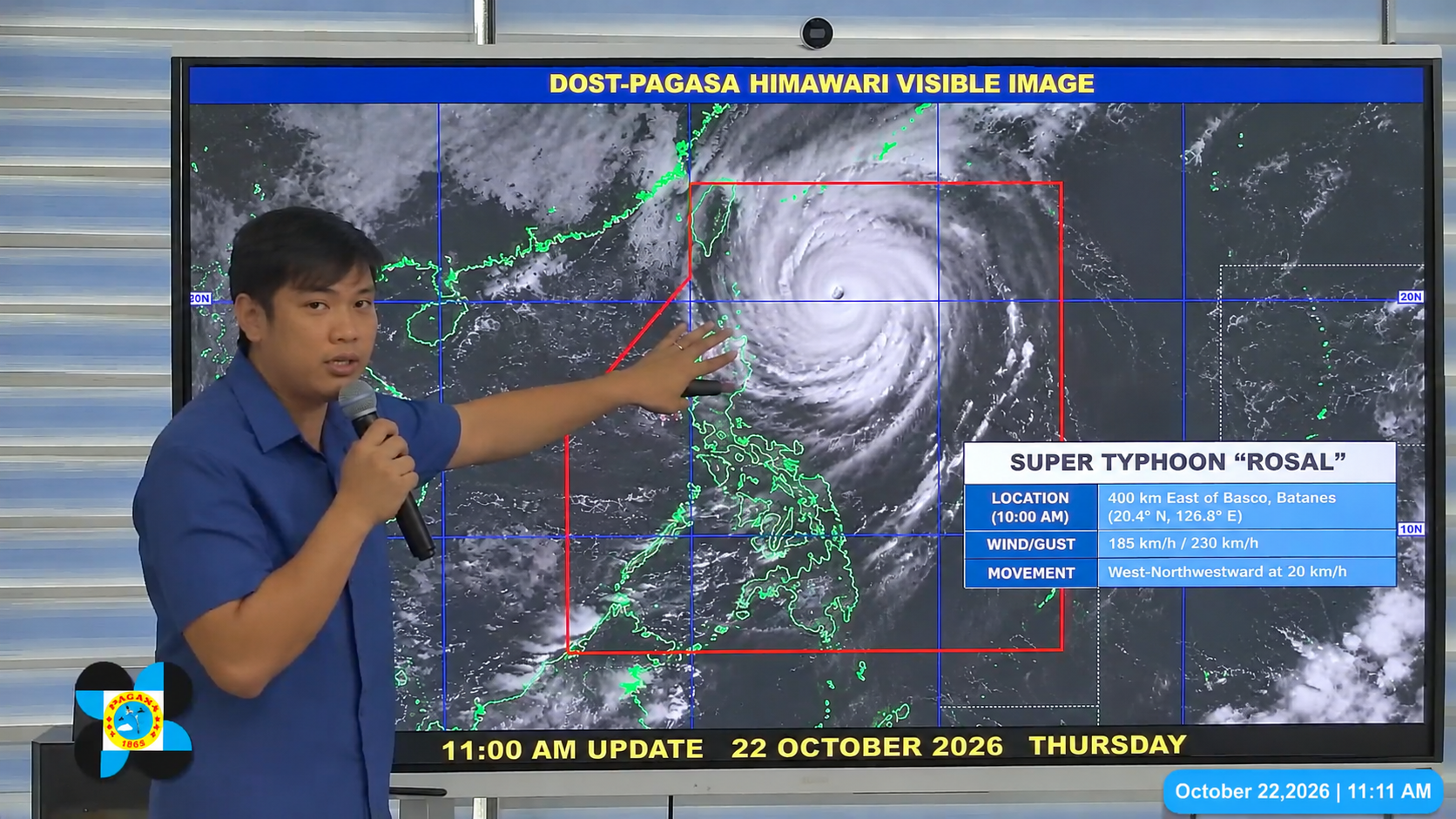 World’s Strongest Storm of 2026: Super Typhoon Rosal Targets Batanes With 184 mph Winds
Super Typhoon Rosal — known internationally as Champi — was bearing down on the Philippines' northernmost islands on Wednesday after achieving the highest wind speeds of any tropical cyclone on Earth in 2026, making it…
-
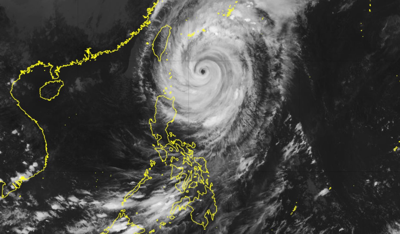 Rosal downgraded to typhoon east of Batanes
ROSAL. Satellite image of Typhoon Rosal (Champi) as of October 22, 2026, 4 pm. MANILA, Philippines – Rosal (Champi) weakened from a super typhoon into a typhoon on Thursday afternoon, October 22, but rainfall and wind…
-
 Super Typhoon Champi spares Taiwan direct hit, brings heavy rain to Japan and Philippines
Wed, Oct 21, 2026 | Jumada al-Awwal 9, 1448 | Fajr 05:02|DXB 31.8°C Super Typhoon Champi, the most powerful storm so far this year, with peak winds of 296 kph (the equivalent of a Category 5 storm) on Wednesday morning…
Sun & moon
Nearby
- Sandakan 34 km
- Taman Rajawali 36 km
Forecasts, observations and alerts in the United States come from the National Weather Service (NOAA); radar from NOAA's Multi-Radar Multi-Sensor system; satellite imagery from NASA's Global Imagery Browse Services (GIBS) and NOAA's GOES satellites; the map from the U.S. Geological Survey's National Map; air quality from AirNow (EPA and its partners); hurricane information from the National Hurricane Center; climate normals and records from NOAA's Regional Climate Centers (ACIS). Forecasts outside the United States and the UV index: MET Norway (CC BY 4.0); observations outside the U.S.: airport reports via NOAA's Aviation Weather Center. Place names: GeoNames (CC BY 4.0). Data are copied on a schedule and may lag the sources; for warnings that affect your safety, follow your local National Weather Service office and emergency officials. Weather news is drawn from the 4Conservative index and reflects what the press published. Terms of use.