Install
Santa Cruz, Calabarzon, Philippines Weather
Current conditions
Forecast for this hour (no station report in the last two hours)
Forecast
10-day-
Sunday
Cloudy. High 31°. Precipitation 0.2 mm for the day.
-
Sunday Night
Light showers. Low 27°. Precipitation 0.2 mm for the day.
-
Monday
Light showers. High 31°. Precipitation 1.4 mm for the day.
MET Norway forecast updated 5 hrs ago.
Hourly
Hourly forecast- Now28°
- 03:0028°
- 04:0028°0.2
- 05:0027°
- 06:0028°
- 07:0028°
- 08:0028°
- 09:0029°
- 10:0030°
- 11:0030°
- 12:0031°
- 13:0031°
- 14:0031°
- 15:0031°
- 16:0031°
- 17:0031°
- 18:0031°
- 19:0030°
- 20:0029°
- 21:0028°
- 22:0028°
- 23:0027°
- Mon00:0027°
- 01:0027°
Daily forecast
DetailsRadar
Full mapWeather news near Santa Cruz
More weather news-
 First rain of season coming to Bay Area, flash flood warning on coast
The Bay Bridge and buildings during rainy weather as seen from Treasure Island in San Francisco on Nov. 17, 2025. Days after hot and dry weather led to red flag warnings in the North Bay, the Bay Area is forecast to get…
- Bay Area gets weather whiplash with first rain of the season expected this week
The Bay Bridge and buildings during rainy weather as seen from Treasure Island in San Francisco on Nov. 17, 2025. Days after hot and dry weather led to red flag warnings in the North Bay, the Bay Area is forecast to get…
- Sunny San Jose Near 80 Today Before Fog, Midweek Showers Roll In
Monday will be partly sunny with a high near 70. The midweek pattern looks more like intermittent light rain than an all-day washout, but morning visibility could be reduced by fog. Skies are expected to be mostly sunny…
-
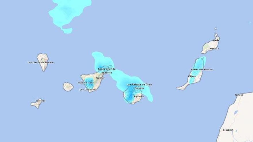 Will it rain this Sunday in Tenerife? Aemet forecasts persistent afternoon rainfall.
Tenerife is set to experience a cloudy day on Sunday, with occasional light rain expected. According to the State Meteorological Agency (Aemet), the weather may shift in the afternoon, particularly in the northern…
-
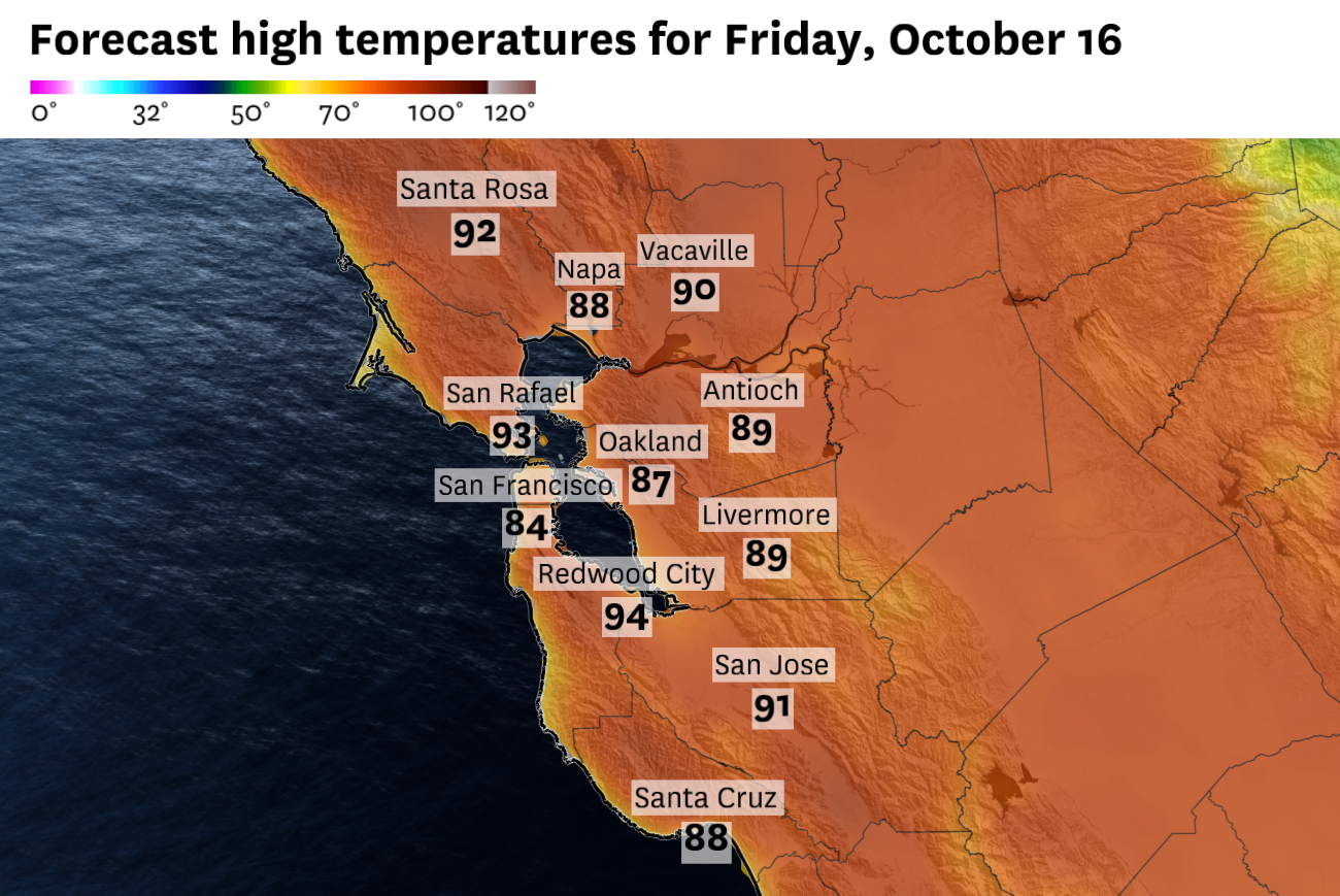 San Francisco could see its last stretch of 80-degree weather before Bay Area resets next week
Friday will be the last day of widespread hot temperatures. San Francisco could experience a final burst of 80-degree weather before a dramatic change brings much cooler temperatures to the Bay Area. The brief two day…
-
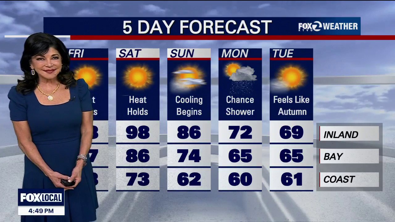 Red Flag Warning for parts of the Bay Area
Red Flag Warning: An official Red Flag Warning is active from 10:00 PM tonight through 11:00 AM Friday across the North Bay Interior Mountains. Diablo Winds: A classic weather setup is unleashing a dangerous Diablo Wind…
-
 First Santa Ana winds of the season spark wildfire fears in California | CNN
As Southern California braces for its first Santa Ana winds of the season, CNN meteorologist Ali Van Fleet gives an outlook on the region’s wildfire season. An astronaut aboard SpaceX Dragon and a videographer beside a…
-
 Will Super El Niño hit your house? Scientists unpack the myths and misconceptions | CNN
CNN Climate and Weather spoke to five climate scientists about this year’s intense El Niño and the misconceptions they’re hearing. Editor Maggie Koerth and Senior Reporter Andrew Freedman recount what they learned. An…
-
 Orange haze from wildfires blankets Indonesia | CNN
A thick orange haze has blanketed parts of Indonesia and air pollution has reached dangerous levels due to ongoing wildfires. An astronaut aboard SpaceX Dragon and a videographer beside a lake in Canada share two…
-
 Aemet announces the return of calima to the Canary Islands: areas affected
Calima will return to the Canary Islands this Thursday, 15 October, accompanied by a rise in temperatures that will be most noticeable in inland and mid-altitude areas, according to the State Meteorological Agency…
Sun & moon
Nearby
- Quezon City 57 km
- Manila 59 km
- Taguig 45 km
- Antipolo 50 km
- Pasig City 51 km
- Paranaque City 48 km
- Las Piñas 50 km
- Calamba 28 km
- Muntinlupa 42 km
- Makati City 51 km
- Imus 54 km
- Marikina City 52 km
Forecasts, observations and alerts in the United States come from the National Weather Service (NOAA); radar from NOAA's Multi-Radar Multi-Sensor system; satellite imagery from NASA's Global Imagery Browse Services (GIBS) and NOAA's GOES satellites; the map from the U.S. Geological Survey's National Map; air quality from AirNow (EPA and its partners); hurricane information from the National Hurricane Center; climate normals and records from NOAA's Regional Climate Centers (ACIS). Forecasts outside the United States and the UV index: MET Norway (CC BY 4.0); observations outside the U.S.: airport reports via NOAA's Aviation Weather Center. Place names: GeoNames (CC BY 4.0). Data are copied on a schedule and may lag the sources; for warnings that affect your safety, follow your local National Weather Service office and emergency officials. Weather news is drawn from the 4Conservative index and reflects what the press published. Terms of use.