Install
Asia, Western Visayas, Philippines Weather
Current conditions
Forecast for this hour (no station report in the last two hours)
Forecast
10-day-
Wednesday
Rain. High 29°. Precipitation 2.0 mm for the day.
-
Wednesday Night
Rain. Low 26°. Precipitation 2.0 mm for the day.
-
Thursday
Heavy rain. High 28°. Precipitation 25.3 mm for the day.
MET Norway forecast updated 8 hrs ago.
Hourly
Hourly forecast- Now26°
- 06:0026°
- 07:0028°
- 08:0029°
- 09:0029°
- 10:0029°
- 11:0029°0.3
- 12:0029°0.4
- 13:0029°0.2
- 14:0029°
- 15:0029°
- 16:0029°
- 17:0028°
- 18:0028°
- 19:0028°
- 20:0028°
- 21:0027°
- 22:0027°0.6
- 23:0027°
- Thu00:0027°
- 01:0027°0.2
- 02:0026°0.5
- 03:0026°0.7
- 04:0026°1.8
Daily forecast
DetailsRadar
Full mapWeather news near Asia
More weather news-
 Hourly PM2.5 readings elevated in three regions, 24-hour PSI unhealthy in west, central, east and south
SINGAPORE: One-hour PM2.5 readings were elevated in Singapore's western, central and eastern regions at 4pm on Tuesday (Oct 20), while the north and south recorded readings in the normal band. Across the five regions…
-
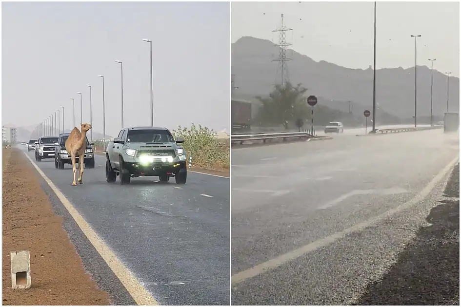 Watch: Rains, hail hit Fujairah as camel strolls along rain-soaked Sharjah road
Mon, Oct 19, 2026 | Jumada al-Awwal 7, 1448 | Fajr 05:02|DXB 31.7°C Parts of the UAE saw more rain on Monday, October 19, with hail falling in Fujairah and a camel spotted taking a leisurely stroll along a rain-soaked…
- Japan Declares Latest El Niño the Strongest on Record as Global Experts Debate Pacific Warming Metrics
Japan Meteorological Agency (JMA) recently confirmed that the current El Niño warming phenomenon is the most severe one in the history of monitoring dating back to 1949. According to JMA statistics, water temperatures…
-
 El Nino likely to persist until March 2027; UAE to see above-average rains
Sun, Oct 18, 2026 | Jumada al-Awwal 6, 1448 | Fajr 05:01|DXB 31.8°C The El Niño climate phenomenon is expected to persist into February 2027, with potential implications for temperatures and rainfall in the UAE…
-
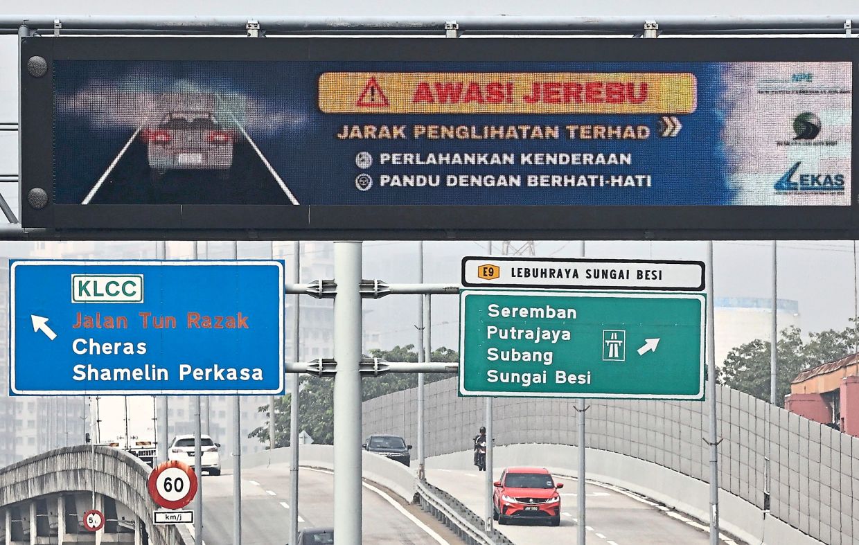 Alert Level 3 in parts of South-East Asia
PETALING JAYA: The Asean Specialised Meteorological Centre (ASMC) has issued Alert Level 3 for southern South-East Asia, signalling a high risk of severe transboundary haze as dry weather and widespread hotspots…
- Heavy rainfall likely over Andhra Pradesh, Coastal Karnataka, Kerala and Mahe
News On AIR Play Audio Evening News News On AIR | October 17, 2026 10:12 AM Heavy rainfall likely over Andhra Pradesh, Coastal Karnataka, Kerala and Mahe The India Meteorological Department has forecast heavy to very…
- A dramatic El Niño effect is headed for the West Coast
One of El Niño's most dramatic effects is waiting in the wings and could soon cause chaos along the West Coast, especially in California, forecasters warned. A historic El Niño is expected to up the intensity of…
- Signs point to intense El Nino in Asia-Pacific region
The temperature of a key Pacific Ocean region used to monitor El Nino conditions reached an all-time high in September, underscoring the exceptional intensity of the current weather pattern. Experts in the Asia-Pacific…
- ASEAN Meteorological Centre activates highest alert level over haze — Asharq Al-Awsat
The ASEAN Specialized Meteorological Centre has activated a level-three alert for the southern part of the region due to thick smoke from fires in Indonesia. The haze is disrupting daily life in several Southeast Asian…
-
 Afternoon showers forecast for several areas today
රංජන්ගේ මැම්බර් | 2026.10.09 රංජන්ගේ මැම්බර් | 2026.10.06 රංජන්ගේ මැම්බර් | 2026.10.01 රංජන්ගේ මැම්බර් | 2026.09.27 රංජන්ගේ මැම්බර් | 2026.09.26 Actor Imran Khan told to leave India for protesting in Mumbai ACPOSL…
Sun & moon
Nearby
- Kabankalan 58 km
- Bayawan 38 km
- Sipalay 26 km
- Santa Catalina 45 km
- Guiljungan 51 km
- Tuyum 48 km
- Inayauan 40 km
- Dancalan 54 km
- Nangka 38 km
- Manalongon 55 km
- Cauayan 48 km
- Camingawan 54 km
Forecasts, observations and alerts in the United States come from the National Weather Service (NOAA); radar from NOAA's Multi-Radar Multi-Sensor system; satellite imagery from NASA's Global Imagery Browse Services (GIBS) and NOAA's GOES satellites; the map from the U.S. Geological Survey's National Map; air quality from AirNow (EPA and its partners); hurricane information from the National Hurricane Center; climate normals and records from NOAA's Regional Climate Centers (ACIS). Forecasts outside the United States and the UV index: MET Norway (CC BY 4.0); observations outside the U.S.: airport reports via NOAA's Aviation Weather Center. Place names: GeoNames (CC BY 4.0). Data are copied on a schedule and may lag the sources; for warnings that affect your safety, follow your local National Weather Service office and emergency officials. Weather news is drawn from the 4Conservative index and reflects what the press published. Terms of use.