Install
San Alejandro, Ucayali, Peru Weather
Current conditions
Forecast for this hour (no station report in the last two hours)
Forecast
10-day-
Wednesday
Heavy rain. High 31°. Precipitation 2.7 mm for the day.
-
Wednesday Night
Fog. Low 24°. Precipitation 2.7 mm for the day.
-
Thursday
Rain. High 30°. Precipitation 2.5 mm for the day.
MET Norway forecast updated 8 hrs ago.
Hourly
Hourly forecast- Now25°
- 21:0025°
- 22:0024°
- 23:0024°
- Thu00:0024°
- 01:0024°
- 02:0024°
- 03:0024°
- 04:0024°
- 05:0024°
- 06:0024°
- 07:0025°
- 08:0026°0.9
- 09:0028°
- 10:0027°
- 11:0029°0.2
- 12:0029°
- 13:0030°0.2
- 14:0028°0.4
- 15:0027°0.4
- 16:0027°
- 17:0027°
- 18:0026°
- 19:0025°
10-day forecast
DetailsRadar
Full mapWeather news in Peru
More weather news-
 LatAm Expat & Nomad Daily Guide for Tuesday, October 20, 2026
LatAm Expat & Nomad Daily Guide — Tuesday, October 20, 2026 As of 12:30 a.m. US Eastern Time (ET) · 1:30 a.m. Brasília, Tuesday 20 October 2026 · storm bulletin to Monday night, rates to the latest published fixing…
- Japan Declares Latest El Niño the Strongest on Record as Global Experts Debate Pacific Warming Metrics
Japan Meteorological Agency (JMA) recently confirmed that the current El Niño warming phenomenon is the most severe one in the history of monitoring dating back to 1949. According to JMA statistics, water temperatures…
-
 LatAm Expat & Nomad Daily Guide for Monday, October 19, 2026
LatAm Expat & Nomad Daily Guide — Monday, October 19, 2026 As of 12:30 a.m. US Eastern Time (ET) · 1:30 a.m. Brasília, Monday 19 October 2026 · storm bulletins to Sunday night, rates to the latest published fixing…
-
 Dangerous Freeze Warnings for 38 Counties in Indiana as Temperatures Plummet
Freeze Warnings are in effect for 38 counties in Indiana from early Sunday morning, with lows as cold as 30 degrees expected. The warnings cover central, northern, east central and southeast Indiana. Three National…
-
 El Niño grows ‘second arm’ as California braces for impacts of rapidly expanding super system
California’s looming El Niño nightmare is already here — and as the coastline continues to take a beating, meteorologists are warning the massive weather system has gone mutant. The potentially historic weather system…
-
 Serious touch of cold weather arrived Friday night
Mother Nature is giving our area another reminder about cold weather. A frost advisory was in effect overnight into Saturday with temperatures dipping down to the middle 30's Saturday morning. Drivers were scrapping car…
-
 ‘Danger zone’: These 5 US states are about to be hit hardest by El Niño, experts warn
Expect wildfires, floods and storms The world is entering a “danger zone of extreme weather” as the El Niño weather phenomenon starts to be felt, UN chief António Guterres recently said. His warnings have been echoed by…
-
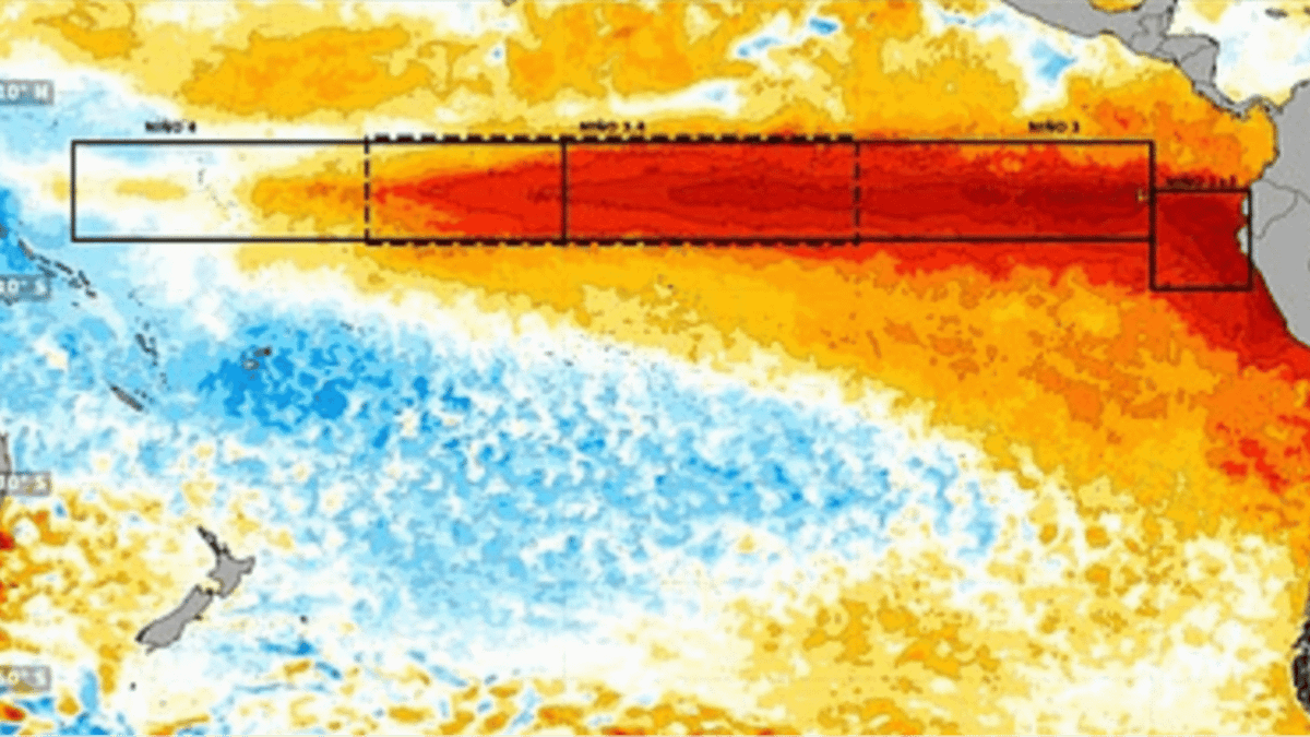 Terrifying new images show Super El Nino developing into 'strongest weather event for 1,000 years'
'El Nino is one of a number of large-scale atmospheric drivers that influence weather patterns in the UK and Europe,' the Met Office says A huge area of unusually warm water appears to be spreading across the Pacific…
-
 Dangerous Freeze Watch for Parts of Indiana and Michigan as Temperatures Drop
A Freeze Watch is in effect for northern, east central and southeast Indiana from late Saturday night through Sunday morning, with lows as cold as 31 degrees possible. A Frost Advisory comes first, for parts of northern…
-
 Super El Niño 'grows second arm' as Brits warned to stock up ahead of severe weather
New weather maps show the ongoing 'Super El Niño' event appears to have developed a second extension, suggesting a significant expansion of unusually warm waters across the Pacific Ocean — as Brits are urged to prepare…
Sun & moon
Nearby
- Aguaytía 40 km
- Campo Verde 60 km
Forecasts, observations and alerts in the United States come from the National Weather Service (NOAA); radar from NOAA's Multi-Radar Multi-Sensor system; satellite imagery from NASA's Global Imagery Browse Services (GIBS) and NOAA's GOES satellites; the map from the U.S. Geological Survey's National Map; air quality from AirNow (EPA and its partners); hurricane information from the National Hurricane Center; climate normals and records from NOAA's Regional Climate Centers (ACIS). Forecasts outside the United States and the UV index: MET Norway (CC BY 4.0); observations outside the U.S.: airport reports via NOAA's Aviation Weather Center. Place names: GeoNames (CC BY 4.0). Data are copied on a schedule and may lag the sources; for warnings that affect your safety, follow your local National Weather Service office and emergency officials. Weather news is drawn from the 4Conservative index and reflects what the press published. Terms of use.