Install
Şalālah, Dhofar, Oman Weather
Current conditions
Forecast for this hour (no station report in the last two hours)
Forecast
10-day-
Thursday
Light showers. High 32°. Precipitation 1.9 mm for the day.
-
Thursday Night
Cloudy. Low 25°. Precipitation 1.9 mm for the day.
-
Friday
Partly cloudy. High 33°.
MET Norway forecast updated 1 day ago.
Hourly
Hourly forecast- Now26°
- 02:0026°
- 03:0026°
- 04:0026°
- 05:0025°
- 06:0025°
- 07:0026°
- 08:0029°
- 09:0030°
- 10:0031°
- 11:0032°
- 12:0032°0.2
- 13:0031°0.7
- 14:0031°0.9
- 15:0030°
- 16:0029°
- 17:0029°
- 18:0028°
- 19:0027°
- 20:0027°
- 21:0027°
- 22:0027°
- 23:0027°
- Fri00:0026°
Daily forecast
DetailsRadar
Full mapWeather news in Oman
More weather news-
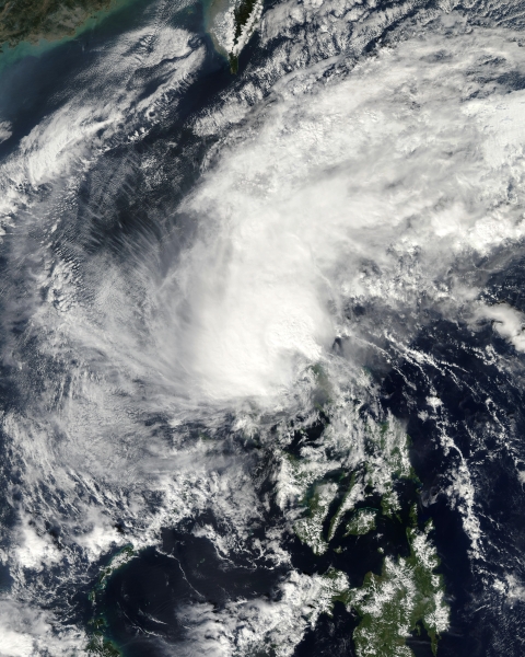 Low pressure system may affect Oman from Wednesday
Oman Observer MUSCAT: Satellite imagery and weather analyses of the National Multi-Hazard Early Warning Centre (NMHEWC) have shown the presence of a tropical depression presently located southwest of the Arabian Sea at…
-
 Low-pressure system may bring rain to parts of Oman from Wednesday
MUSCAT: A low-pressure system over the southwest of the Arabian Sea is being monitored by Oman's National Multi-Hazard Early Warning Centre, with forecasts indicating no direct impact on the Sultanate over the next five…
- UAE weather: Rain, cooler days ahead? Here's what NCM predicts
The latest forecast points to a few surprises in the days ahead Dubai: Parts of the UAE could experience rain on Tuesday, as strong winds reaching 60km/h sweep across mountainous areas, raising dust and potentially…
-
 UAE weather tomorrow: More rains expected in some areas; foggy conditions likely
Mon, Oct 19, 2026 | Jumada al-Awwal 7, 1448 | Fajr 05:02|DXB 30.9°C Residents across the UAE can expect more rain on Tuesday, October 20, as convective clouds develop over eastern areas and extend to some inland and…
- UAE weather tomorrow: Rains expected in some areas; humid conditions by night
Sun, Oct 18, 2026 | Jumada al-Awwal 6, 1448 | Fajr 05:01|DXB 31.7°C The weather on Monday, October 19, is expected to be fair to partly cloudy, with rains expected across some areas of the country, according to a…
-
 EL Nino may bring more rain in Oman as temperatures stay hot
MUSCAT: Oman is facing the prospect of wetter-than-usual conditions in its northern regions and higher temperatures across the country in the coming months, with a strengthening El Niño weather pattern potentially…
- Rain, fog and dusty winds expected across UAE this week
Gulf Today Rain, fog and dusty winds expected across UAE this week Mohammed Abu Al Samen, Staff Reporter The UAE's National Centre of Meteorology (NCM) expects rain to fall on scattered parts of the country today…
-
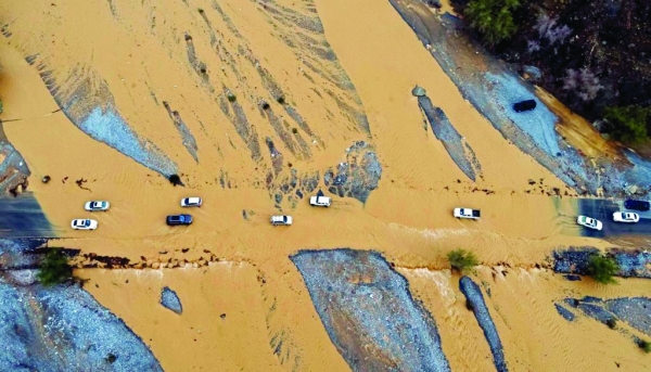
 Strong winds and flash floods expected near Al Hajar Mountains
Official alerts indicate potential cumulus cloud formation bringing scattered thundershowers across parts of the Al Hajar Mountains. Strong winds and flash floods expected near Al Hajar Mountains Muscat – Official…
- UAE weather: 96% probability of El Niño persisting until March 2027, bringing hotter, wetter conditions
NCM warns temperatures and rainfall could exceed seasonal averages across the UAE Dubai: The UAE could experience above-average temperatures and rainfall in the coming months as the El Niño weather phenomenon…
Sun & moon
Forecasts, observations and alerts in the United States come from the National Weather Service (NOAA); radar from NOAA's Multi-Radar Multi-Sensor system; satellite imagery from NASA's Global Imagery Browse Services (GIBS) and NOAA's GOES satellites; the map from the U.S. Geological Survey's National Map; air quality from AirNow (EPA and its partners); hurricane information from the National Hurricane Center; climate normals and records from NOAA's Regional Climate Centers (ACIS). Forecasts outside the United States and the UV index: MET Norway (CC BY 4.0); observations outside the U.S.: airport reports via NOAA's Aviation Weather Center. Place names: GeoNames (CC BY 4.0). Data are copied on a schedule and may lag the sources; for warnings that affect your safety, follow your local National Weather Service office and emergency officials. Weather news is drawn from the 4Conservative index and reflects what the press published. Terms of use.