Install
Milton, Otago, New Zealand Weather
Current conditions
Forecast for this hour (no station report in the last two hours)
Forecast
10-day-
Thursday
Light showers. High 18°. Precipitation 0.4 mm for the day.
-
Thursday Night
Cloudy. Low 10°. Precipitation 0.4 mm for the day.
-
Friday
Fog. High 23°.
MET Norway forecast updated 3 hrs ago.
Hourly
Hourly forecast- Now12°
- 06:0013°
- 07:0013°
- 08:0014°
- 09:0015°
- 10:0017°
- 11:0018°
- 12:0018°
- 13:0018°
- 14:0017°
- 15:0016°0.2
- 16:0016°0.2
- 17:0016°
- 18:0016°
- 19:0015°
- 20:0013°
- 21:0012°
- 22:0011°
- 23:0011°
- Fri00:0010°
- 01:0011°
- 02:0010°
- 03:0010°
- 04:0010°
Daily forecast
DetailsRadar
Full mapWeather news near Milton
More weather news-
 Good morning, Milton! Here's today's weather!
Mainly sunny. Wind becoming southwest 30 km/h gusting to 50 this morning. High 16. UV index 4 or moderate. Clear. Wind southwest 20 km/h gusting to 40 becoming light near midnight. Low plus 5. Sunny. High 18. UV index 4…
-
 Sunny skies and mild temperatures forecast across southern Ontario this week
Published October 18, 2026 at 5:07 pm Residents across the Greater Toronto Area and southern Ontario can expect sunny skies and mild temperatures throughout the week of Oct. 19, following a cooler stretch last week that…
-
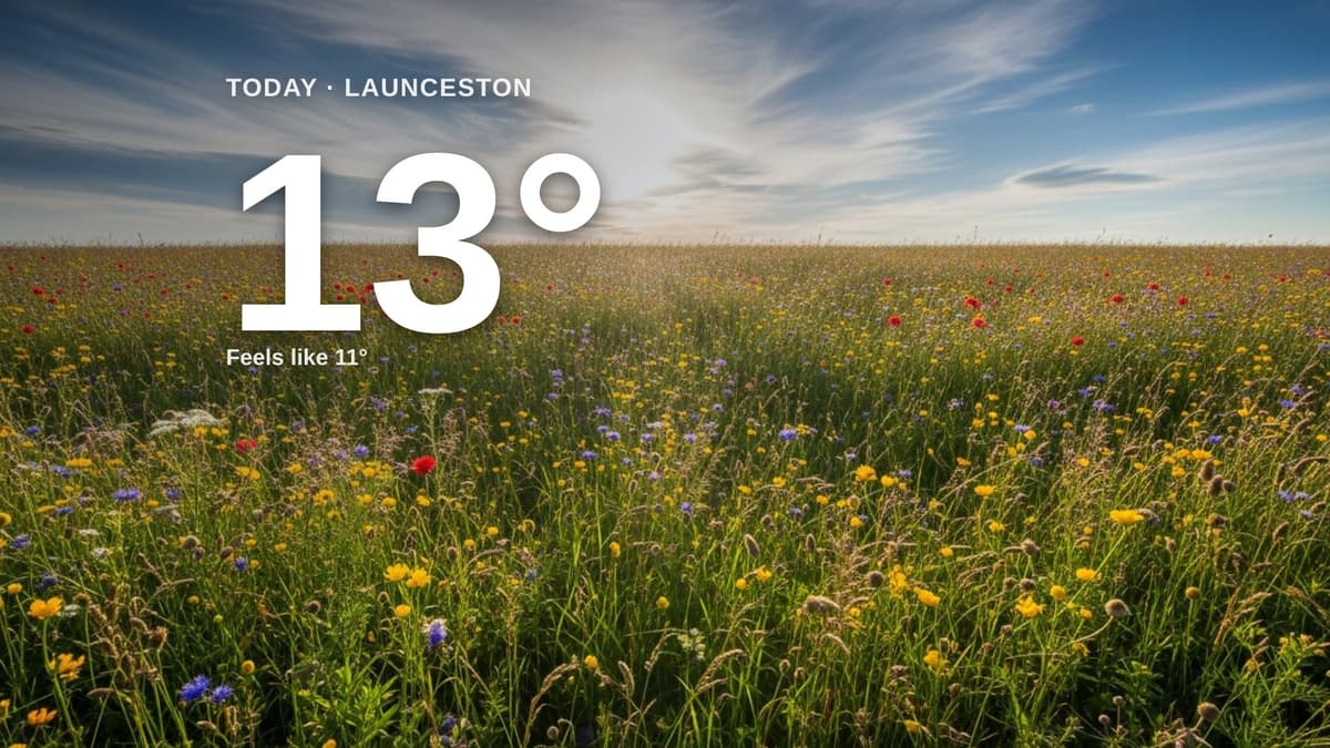 Launceston weather: partly cloudy Sunday with little chance of rain and a high of 13°C
Clouds and sun for Launceston today - here's your Sunday forecast Cornish & Devon Post Launceston weather: partly cloudy Sunday with little chance of rain and a high of 13°C Clouds and sun share the sky across…
-
 Why was Hurricane Isaias only one day away from the anniversary of Hurricane Michael?
WJHG PANAMA CITY, Fla. (WJHG/WECP) - Hurricane season runs from June 1st to November 30th with its peak in mid-September. However, most of the Gulf storms take place in October. Think of Hurricane Opal (1995)…
-
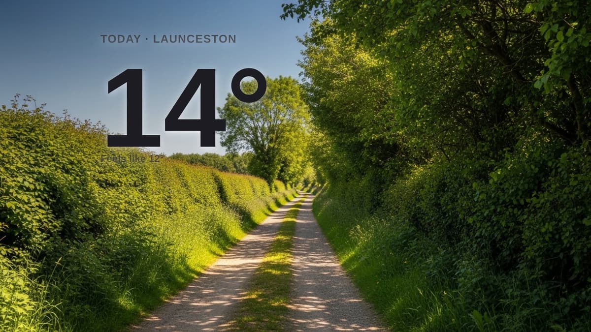 Launceston weather: sunny Saturday with little chance of rain and a high of 14°C
Sunshine dominates across Launceston and the surrounding area today, with a gentle breeze from the north-east. The day will feel a little cooler than the actual temperature, with a high of around 14°C. There is little…
-
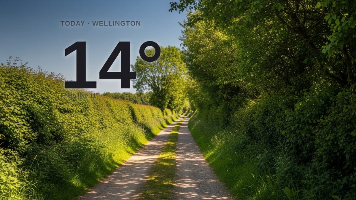 Wellington weather: sunny Saturday with little chance of rain and a high of 13°C
Sunshine for Wellington today - here's what to expect Wellington Weekly News Wellington weather: sunny Saturday with little chance of rain and a high of 13°C Sunshine dominates across Wellington and the surrounding area…
-
 Top wind gusts Friday before cold air filters into the region this evening
BURLINGTON, Vt. (WCAX) - A strong cold front swept through northern New York and Vermont Friday morning into early afternoon, bringing the strongest wind gusts of the fall so far. Our crews found storm damage across…
-
 Milton forecast for Thursday, October 15th
miltonnow.ca We’re in for a wet night. Here is your Milton forecast for the rest of this short week and this weekend, per Environment Canada: If you’d like to get ahold of me personally, shoot me a message at…
-
 2 p.m. STORMtracker Weather Briefing for Oct. 15, 2026
fox10tv.com 2 p.m. STORMtracker Weather Briefing for Oct. 15, 2026 8 p.m. STORMtracker Weather Briefing for Oct. 14, 2026 Hurricane Isaias: Summary of the NWS post-storm report 2 p.m. Afternoon STORMtracker Weather…
-
 Buresh Blog: The tropics... Local drought buster... Snakes on the move!
Hurricane Isaias broke the streak of a “quiet” Atlantic hurricane season as well as the streak of zero U.S. hurricane landfalls - the last one was “Milton” in 2024. The image (Cooperative Institute for Meteorological…
Sun & moon
Nearby
- Dunedin 50 km
- Mosgiel 40 km
- North East Valley 53 km
- Balclutha 21 km
- Mornington 47 km
- Fairfield 41 km
- East Taieri 37 km
- Saint Clair 46 km
Forecasts, observations and alerts in the United States come from the National Weather Service (NOAA); radar from NOAA's Multi-Radar Multi-Sensor system; satellite imagery from NASA's Global Imagery Browse Services (GIBS) and NOAA's GOES satellites; the map from the U.S. Geological Survey's National Map; air quality from AirNow (EPA and its partners); hurricane information from the National Hurricane Center; climate normals and records from NOAA's Regional Climate Centers (ACIS). Forecasts outside the United States and the UV index: MET Norway (CC BY 4.0); observations outside the U.S.: airport reports via NOAA's Aviation Weather Center. Place names: GeoNames (CC BY 4.0). Data are copied on a schedule and may lag the sources; for warnings that affect your safety, follow your local National Weather Service office and emergency officials. Weather news is drawn from the 4Conservative index and reflects what the press published. Terms of use.