Install
Johnsonville, Wellington Region, New Zealand Weather
Current conditions
Forecast for this hour (no station report in the last two hours)
Forecast
10-day-
Wednesday
Partly cloudy. High 17°.
-
Wednesday Night
Cloudy. Low 12°.
-
Thursday
Cloudy. High 16°.
MET Norway forecast updated 7 hrs ago.
Hourly
Hourly forecast- Now13°
- 10:0014°
- 11:0015°
- 12:0016°
- 13:0017°
- 14:0017°
- 15:0016°
- 16:0016°
- 17:0016°
- 18:0015°
- 19:0015°
- 20:0013°
- 21:0013°
- 22:0012°
- 23:0012°
- Thu00:0012°
- 01:0012°
- 02:0012°
- 03:0012°
- 04:0012°
- 05:0012°
- 06:0012°
- 07:0012°
- 08:0013°
Daily forecast
DetailsRadar
Full mapWeather news near Johnsonville
More weather news-
 Wellington weather: sunny Saturday with little chance of rain and a high of 13°C
Sunshine for Wellington today - here's what to expect Wellington Weekly News Wellington weather: sunny Saturday with little chance of rain and a high of 13°C Sunshine dominates across Wellington and the surrounding area…
- Volume 30 - No. 16 - February 17, 2021
Read this weeks articles below. Steam billows up from the water at Frog Rapids Bridge, where Pelican Lake meets Abram Lake, at 9:30 a.m. on Feb. 11. The temperature was nearly -40 C at the time. An extreme cold warning…
-
 Wild spring weather to bring heavy rain, gales to parts of NZ
Heavy rain and strong winds have been forecast for parts of New Zealand, with several weather warnings and watches in place as a slow-moving front moves across the country. According to MetService, the front was…
-
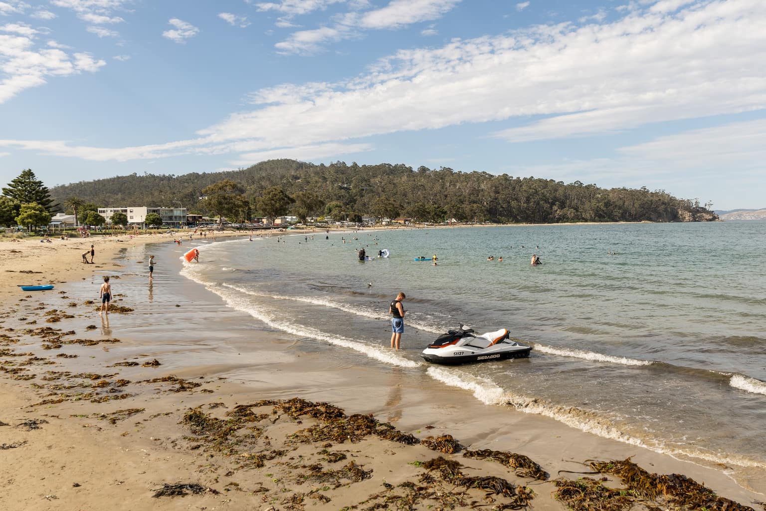 Southern Tasmania tipped to hit 28 degrees days after snow
Temperatures in southern Tasmania are forecast to reach 28 degrees on Monday, days after snow fell to low levels across the state. Bureau of Meteorology forecasts show Campania, Brighton and Richmond reaching 28 degrees…
-
 Melbourne could experience first 30C day of the season in just days after cold snap
Melbourne’s first 30C could be days away as a long dry and sunny stretch sets in after a genuine cold snap from the Southern Ocean. The cold has largely come from Tasmania after the state saw low level snow covering the…
- Weather alert issued for the Kansas City area Tuesday night
The National Weather Service issued a weather alert at 9:53 p.m. on Tuesday for strong thunderstorms until 10:15 p.m. The alert is for Jackson, Ray, Lafayette, Cass and Johnson counties. "At 9:53 p.m., Doppler radar…
-
 Why this El Niño is set to be one of the strongest on record
A rapidly strengthening El Niño is set to become one of the strongest on record, bringing higher temperatures and shifting rainfall patterns across the globe, the World Meteorological Organisation says. The weather…
-
 Settled Weather And Warmer Temperatures Ahead
While many will be making the most of the fine, settled weather, the lack of rain may be less welcome for some, says MetService Meteorologist Sophie Huntington. 19/10/2026 Covering period of Monday 19th – Friday 23rd…
-
 Here comes the sun: Warm, fine weather ahead for much of NZ
Warmer temperatures and plenty of sunshine are on the way for much of New Zealand this week, with settled conditions expected to continue into the start of Labour Weekend. MetService said a slow-moving high-pressure…
-
 Cook Islands cyclone Wati forms as settled weather continues across New Zealand
MetService says a looming tropical cyclone brewing in Cook Islands waters is currently “unlikely” to strike New Zealand. MetService meteorologist Katie Lyons told the Herald the category one system Cook Islands locals…
Sun & moon
Nearby
- Wellington 8 km
- Lower Hutt 10 km
- Porirua 11 km
- Upper Hutt 23 km
- Paraparaumu 38 km
- Wainuiomata 13 km
- Karori 9 km
- Waikanae 44 km
- Newtown 10 km
- Khandallah 3 km
- Titahi Bay 14 km
- Otaki 59 km
Forecasts, observations and alerts in the United States come from the National Weather Service (NOAA); radar from NOAA's Multi-Radar Multi-Sensor system; satellite imagery from NASA's Global Imagery Browse Services (GIBS) and NOAA's GOES satellites; the map from the U.S. Geological Survey's National Map; air quality from AirNow (EPA and its partners); hurricane information from the National Hurricane Center; climate normals and records from NOAA's Regional Climate Centers (ACIS). Forecasts outside the United States and the UV index: MET Norway (CC BY 4.0); observations outside the U.S.: airport reports via NOAA's Aviation Weather Center. Place names: GeoNames (CC BY 4.0). Data are copied on a schedule and may lag the sources; for warnings that affect your safety, follow your local National Weather Service office and emergency officials. Weather news is drawn from the 4Conservative index and reflects what the press published. Terms of use.