Install
Christchurch, Canterbury, New Zealand Weather
Current conditions
Forecast for this hour (no station report in the last two hours)
Forecast
10-day-
Monday
Cloudy. High 23°. Precipitation 0.9 mm for the day.
-
Monday Night
Rain. Low 16°. Precipitation 0.9 mm for the day.
-
Tuesday
Heavy rain. High 16°. Precipitation 4.8 mm for the day.
MET Norway forecast updated 8 hrs ago.
Hourly
Hourly forecast- Now20°
- 11:0021°
- 12:0022°
- 13:0023°
- 14:0023°
- 15:0023°
- 16:0023°
- 17:0022°
- 18:0021°
- 19:0019°
- 20:0019°
- 21:0018°
- 22:0018°0.2
- 23:0017°0.7
- Tue00:0016°0.2
- 01:0016°0.2
- 02:0016°0.9
- 03:0010°0.6
- 04:0010°
- 05:0010°
- 06:0010°
- 07:0010°
- 08:0011°
- 09:0012°
Daily forecast
DetailsRadar
Full mapWeather news near Christchurch
More weather news- Heavy showers above 100 mm are likely at some places in the Western, Sabaragamuwa, Southern and North-western provinces
MJ and Herath throw weight behind cricket reforms Quarter-finals to be replayed Crystal Palace urged to retire bald eagle mascot Bangladesh and Nepal to host Women’s Under-19 T20 World Cup from January 21 to February 6…
-
 Why this El Niño is set to be one of the strongest on record
A rapidly strengthening El Niño is set to become one of the strongest on record, bringing higher temperatures and shifting rainfall patterns across the globe, the World Meteorological Organisation says. The weather…
-
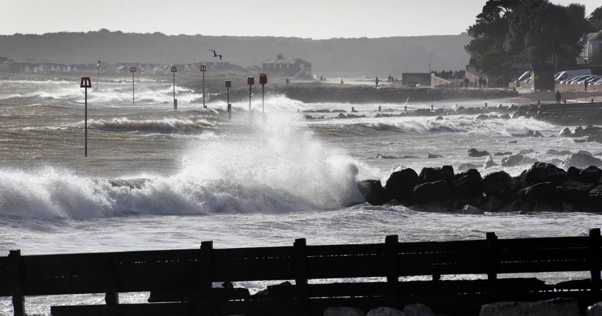 Storm Ausen - Yellow wind warning issued for BCP and Dorset
STRONG winds are expected to cause disruption and potential damage across Dorset later this week after a weather warning was issued. The Met Office has issued a yellow weather warning for wind covering the Bournemouth…
-
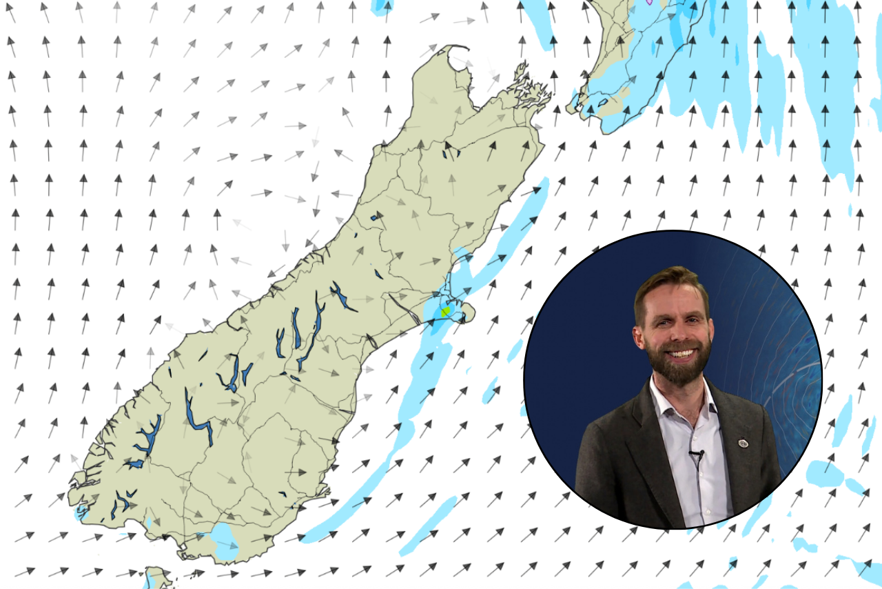 Escaped youth tracked by Eagle helicopter, found hiding in New Brighton
Canterbury is in for a fine, sunny weekend, but chilly nights could leave residents waking to frost before temperatures climb again next week. MetService meteorologist John Law said Christchurch could expect daytime…
-
 Weather: Temperatures tumble as cold snap grips New Zealand
Just days after several centres sweltered in near-30C heat, snow is forecast and temperatures are plunging towards freezing. NZ Transport Agency Waka Kotahi imposed restrictions on State Highway 73 between Otira and…
- Weather today, forecast for Sunday, October 25: Foggy morning, sunny afternoon
Oct 25, 2026 03:00 86 Fog and low layered clouds will form in many flat areas on Sunday morning. Later in the day, the cloudiness will decrease and sunny weather will prevail in the country, reports the National…
-
 Bay of Plenty Labour Weekend weather: What to expect over the next few days
Expect more sunshine this weekend. Sunny weather is likely to continue into Labour Weekend, MetService says. Those looking to enjoy outdoor fun this weekend are in luck as Saturday and Sunday bring highs of up to 22C…
- Earth Sciences New Zealand’s Hotspot Watch - 22 October 2026
Recent rainfall and current soil moisture conditions: There are currently no hotspots in place across the North Island. However, as of 19 October, the New Zealand Drought Index (NZDI) map shows that abnormally dry…
-
 Looking good for the long weekend – is El Nino about to make itself felt?
Daniel Corbett says the long weekend looks good for getting outside. (Source: 1News) 1News meteorologist Daniel Corbett with the Labour Weekend outlook, and a shift in the spring weather. If you're looking towards the…
-
 Sunny and warm Labour weekend promises 25°C days in the South
Best go buy a Lotto ticket — this might be one of those rare and lucky years when the weather in the South over Labour weekend is going to be hot, sunny and dry — mainly. MetService meteorologist Maddy Neal said at this…
Sun & moon
Nearby
Forecasts, observations and alerts in the United States come from the National Weather Service (NOAA); radar from NOAA's Multi-Radar Multi-Sensor system; satellite imagery from NASA's Global Imagery Browse Services (GIBS) and NOAA's GOES satellites; the map from the U.S. Geological Survey's National Map; air quality from AirNow (EPA and its partners); hurricane information from the National Hurricane Center; climate normals and records from NOAA's Regional Climate Centers (ACIS). Forecasts outside the United States and the UV index: MET Norway (CC BY 4.0); observations outside the U.S.: airport reports via NOAA's Aviation Weather Center. Place names: GeoNames (CC BY 4.0). Data are copied on a schedule and may lag the sources; for warnings that affect your safety, follow your local National Weather Service office and emergency officials. Weather news is drawn from the 4Conservative index and reflects what the press published. Terms of use. How to use Weather