Install
Risør, Agder, Norway Weather
Current conditions
Forecast for this hour (no station report in the last two hours)
Forecast
10-day-
Thursday
Heavy rain. High 12°. Precipitation 28.2 mm for the day.
-
Thursday Night
Heavy rain. Low 11°. Precipitation 28.2 mm for the day.
-
Friday
Fog. High 10°.
MET Norway forecast updated 5 hrs ago.
Hourly
Hourly forecast- Now11°100%
- 02:0012°100%
- 03:0012°100%
- 04:0012°100%
- 05:0012°100%
- 06:0012°100%
- 07:0012°100%
- 08:0012°100%
- 09:0011°100%
- 10:0011°100%
- 11:0011°93%
- 12:0011°66%
- 13:0011°26%
- 14:0012°23%
- 15:0012°43%
- 16:0012°34%
- 17:0012°26%
- 18:0012°22%
- 19:0012°19%
- 20:0011°30%
- 21:0011°36%
- 22:0011°37%
- 23:0011°30%
- Fri00:0010°34%
Daily forecast
DetailsRadar
Full mapWeather news near Risør
More weather news-
 Rain swells seasonal rivers and streams in Rajasthan:Yellow alert for thunderstorms and rain in seven districts today; temperatures rise in Barmer, Pilani and Hanumangarh
Winds from the Arabian Sea are bringing unseasonal rain to Rajasthan. Light rain continued for the third consecutive day on Monday in the state’s south-eastern districts. In Sawai Madhopur, continuous rainfall caused…
- Sunny Atlanta Faces Bone-Dry Week as Fire Danger Rises
Humidity could fall to 30% or lower for at least four hours Monday afternoon into the evening, while northeast winds run around 5 to 10 mph with gusts up to 20 mph, according to a National Weather Service special…
-
 Forecast: Rain gives way to cooler weather, with temperatures set to rise later this week
Temperatures are expected to fall slightly today, while light drizzle may continue along the coastal plain; little change is forecast for Tuesday, but the cooler spell will be short-lived, with temperatures set to rise…
-
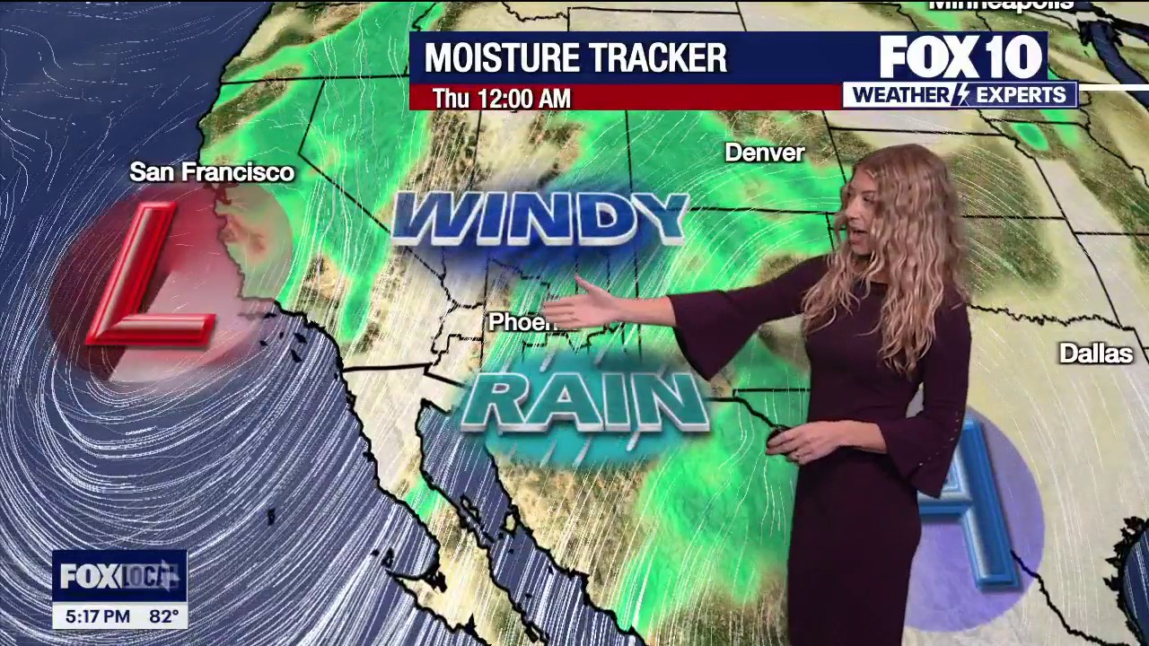 Arizona rain chances rise as new storm system approaches
FOX 10 Phoenix Arizona will see cooler temperatures and scattered rain midweek as a new storm system moves across the state. FOX 10's Erica Horvatin has more on when we can expect moisture to arrive.
-
 Weather forecast: Rain possible Wednesday, warmer than usual on Thursday
No significant change in the weather is expected Tuesday, with localized rain possible along the coastal plain Wednesday; Warming will be felt later this week, with the weekend already set to be hotter than usual The…
-
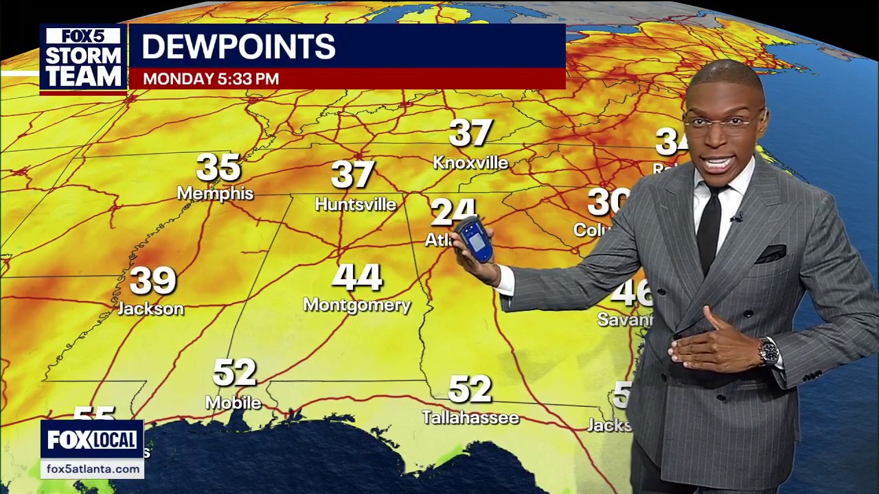 Monday evening forecast
FOX 5 Atlanta CMS Thesis Description: A cold front and dry air dropped Atlanta dew points to 24 degrees before temperatures begin a steady rise back into the 70s later in the week.
-
 Air temperature in Azerbaijan to rise to 30 degrees tomorrow
In a number of regions of Azerbaijan, the air temperature will rise to 30 degrees on Monday. As 1news.az reports, this is stated in the weather forecast for October 19 from the National Hydrometeorological Service…
-
 Delhi’s minimum temperature falls to 17.6°C, lowest this season
Delhi logs season’s lowest minimum at 17.6°C; nights to stay cool, days may warm to 35°C. AQI remains moderate but may turn poor midweek. New Delhi: Delhi recorded the seasonâs lowest minimum temperature at 17.6…
-
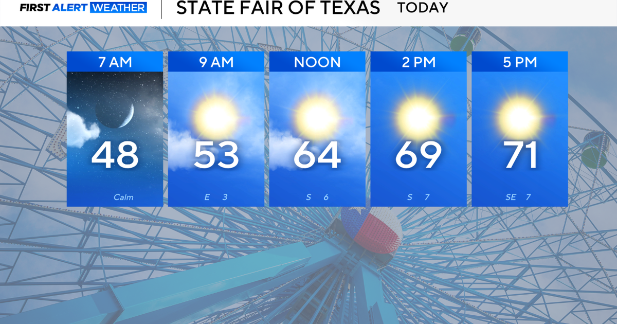 North Texas gets a great cap to the weekend before temperatures rise again
October 18, 2026 / 7:13 AM CDT / CBS Texas Sunday is teed up to be a beautiful end to the weekend for North Texas and a great final day for the State Fair of Texas. Expect high clouds to dissipate throughout the day…
-
 Mostly dry week with seasonably warm temperatures
Pleasant weather this past weekend gets extended into much of this week with plenty of sunshine and little chances of rain. On Tuesday, temperatures rise into the mid to upper 60s with mostly sunny skies. Through the…
Sun & moon
Nearby
Forecasts, observations and alerts in the United States come from the National Weather Service (NOAA); radar from NOAA's Multi-Radar Multi-Sensor system; satellite imagery from NASA's Global Imagery Browse Services (GIBS) and NOAA's GOES satellites; the map from the U.S. Geological Survey's National Map; air quality from AirNow (EPA and its partners); hurricane information from the National Hurricane Center; climate normals and records from NOAA's Regional Climate Centers (ACIS). Forecasts outside the United States and the UV index: MET Norway (CC BY 4.0); observations outside the U.S.: airport reports via NOAA's Aviation Weather Center. Place names: GeoNames (CC BY 4.0). Data are copied on a schedule and may lag the sources; for warnings that affect your safety, follow your local National Weather Service office and emergency officials. Weather news is drawn from the 4Conservative index and reflects what the press published. Terms of use.