Install
Cárdenas, Rivas Department, Nicaragua Weather
Current conditions
Forecast for this hour (no station report in the last two hours)
Forecast
10-day-
Thursday
Rain. High 29°. Precipitation 2.8 mm for the day.
-
Thursday Night
Rain. Low 25°. Precipitation 2.8 mm for the day.
-
Friday
Rain. High 28°. Precipitation 1.3 mm for the day.
MET Norway forecast updated 19 hrs ago.
Hourly
Hourly forecast- Now25°0.2
- 07:0025°0.2
- 08:0026°0.3
- 09:0026°0.3
- 10:0027°0.2
- 11:0028°
- 12:0028°
- 13:0028°
- 14:0029°
- 15:0029°
- 16:0028°
- 17:0027°0.2
- 18:0026°0.2
- 19:0026°0.2
- 20:0025°
- 21:0025°
- 22:0025°
- 23:0025°
- Fri00:0025°
- 01:0025°
- 02:0025°
- 03:0024°
- 04:0024°
- 05:0024°
Daily forecast
DetailsRadar
Full mapWeather news near Cárdenas
More weather news-
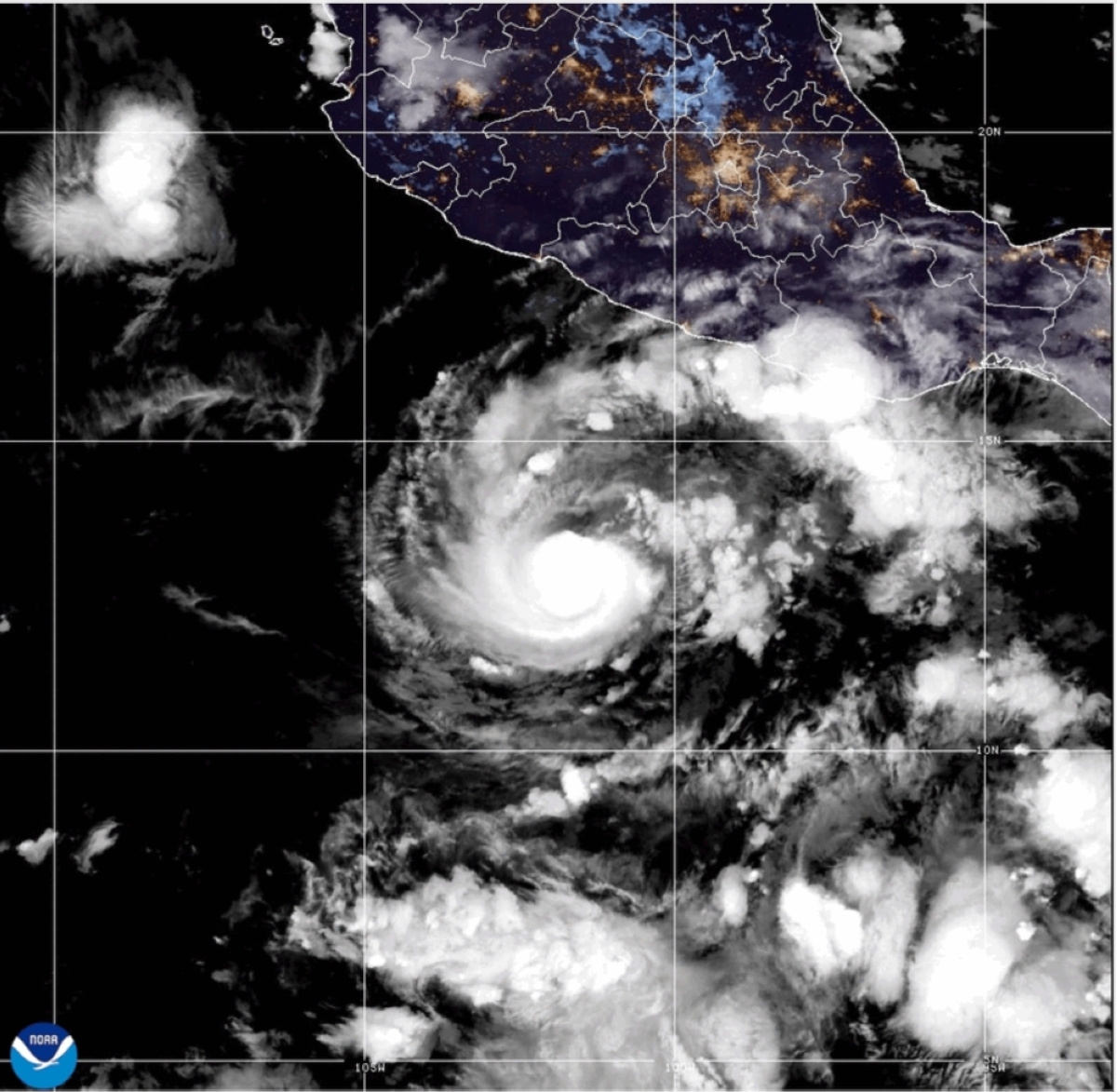 Hurricane Trudy grows stronger, nears Mexico
MIAMI — Trudy strengthened to a Category 2 hurricane as it moved toward Mexico’s southwestern and west-central Pacific coast on Saturday, the US National Hurricane Center said. A hurricane warning was in effect from…
-
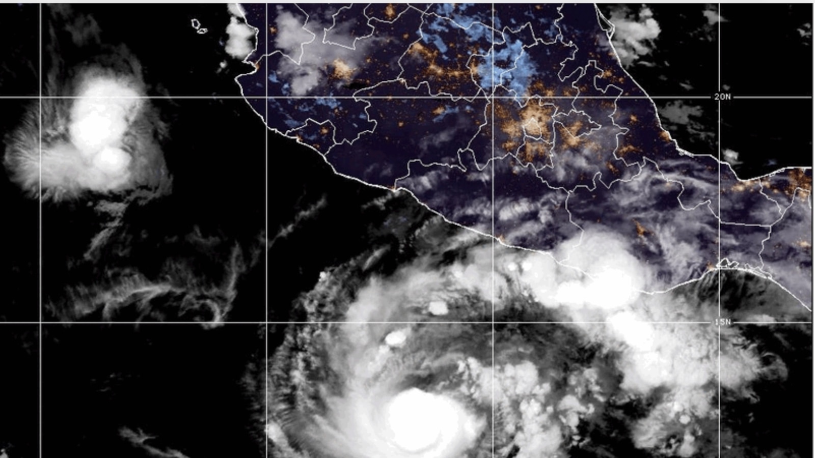 Hurricane Trudy brings heavy rain and strong winds to Mexico’s Pacific coast
Hurricane Trudy brings heavy rain and strong winds to Mexico’s southwestern and west-central Pacific coast, according to the U.S. National Hurricane Center MIAMI -- Hurricane Trudy lashed parts of Mexico’s Pacific coast…
- Hurricane Trudy batters Mexico’s Pacific coast with heavy rain and strong winds
Hurricane Trudy brings heavy rain and strong winds to Mexico’s southwestern and west-central Pacific coast Heavy rain and strong winds hit portions of Mexico’s southwestern and west-central Pacific coast early on…
-
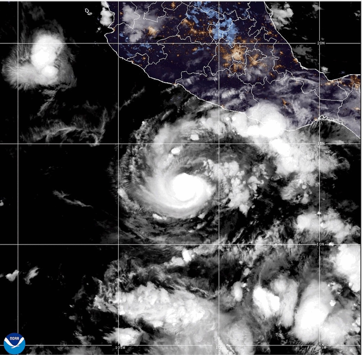 Hurricane Trudy strengthens to Category 2 as it approaches Mexico coast
MIAMI -- Trudy strengthened to a Category 2 hurricane as it moved toward Mexico 's southwestern and west-central Pacific coast on Saturday, the U.S. National Hurricane Center said. A hurricane warning was in effect from…
-
 Hurricane Trudy strengthens to category 2 as it heads toward Mexico
Hurricane warning in effect from Manzanillo to Cabo Corrientes as storm moves toward Pacific coast Trudy strengthened to a category 2 hurricane as it moved toward Mexico’s south-western and west-central Pacific coast on…
-
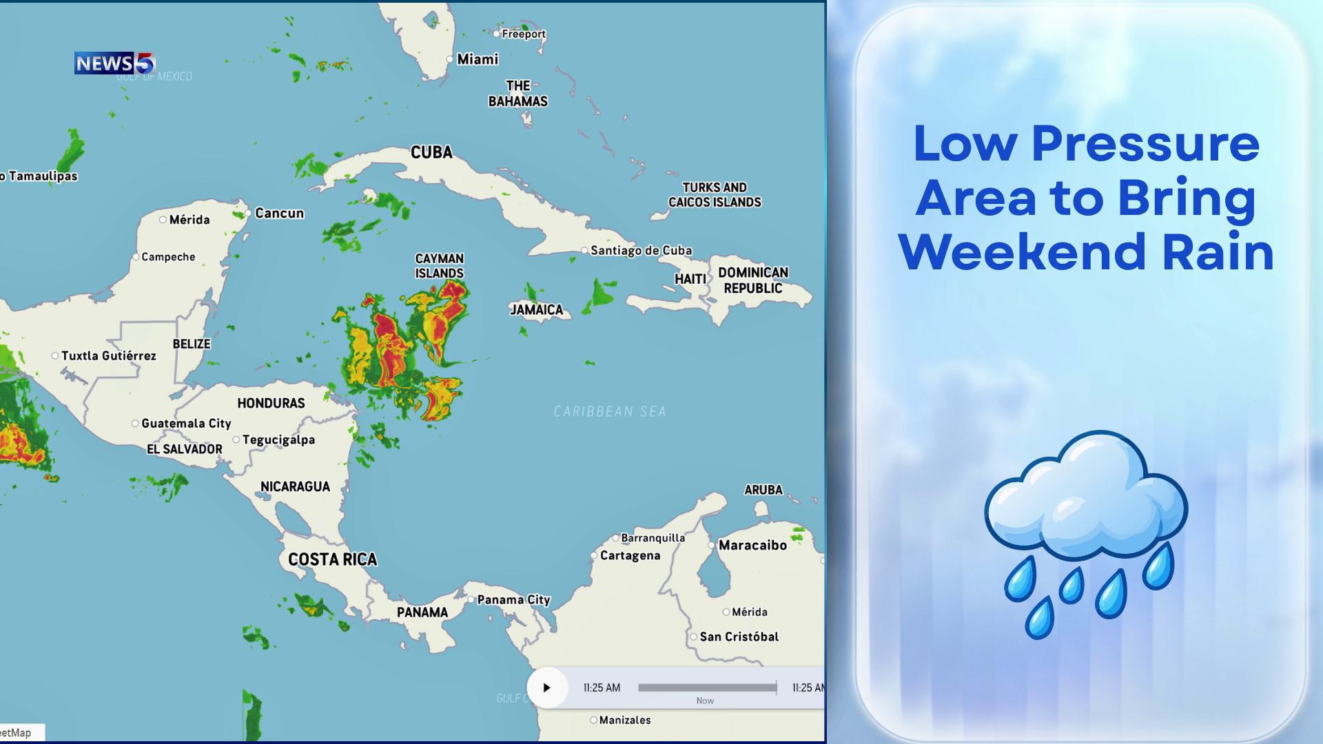 Downpours Could Drench Belize Through Weekend
Keep the umbrellas close and the weekend plans flexible. An area of low pressure near Honduras and Nicaragua could begin soaking Belize as early as tonight, bringing increased showers and thunderstorms through the…
Sun & moon
Nearby
- San José 49 km
- Rivas 44 km
- San Juan del Sur 40 km
- San Jorge 43 km
- Belén 54 km
- Potosí 50 km
- La Cruz 19 km
- Moyogalpa 43 km
- Altagracia 42 km
- Tola 54 km
Forecasts, observations and alerts in the United States come from the National Weather Service (NOAA); radar from NOAA's Multi-Radar Multi-Sensor system; satellite imagery from NASA's Global Imagery Browse Services (GIBS) and NOAA's GOES satellites; the map from the U.S. Geological Survey's National Map; air quality from AirNow (EPA and its partners); hurricane information from the National Hurricane Center; climate normals and records from NOAA's Regional Climate Centers (ACIS). Forecasts outside the United States and the UV index: MET Norway (CC BY 4.0); observations outside the U.S.: airport reports via NOAA's Aviation Weather Center. Place names: GeoNames (CC BY 4.0). Data are copied on a schedule and may lag the sources; for warnings that affect your safety, follow your local National Weather Service office and emergency officials. Weather news is drawn from the 4Conservative index and reflects what the press published. Terms of use.