Install
Igbo-Ora, Oyo State, Nigeria Weather
Current conditions
Forecast for this hour (no station report in the last two hours)
Forecast
10-day-
Wednesday
Heavy rain. High 31°. Precipitation 16.4 mm for the day.
-
Wednesday Night
Heavy rain. Low 24°. Precipitation 16.4 mm for the day.
-
Thursday
Light showers. High 32°. Precipitation 0.2 mm for the day.
MET Norway forecast updated 1 day ago.
Hourly
Hourly forecast- Now24°
- 23:0024°
- Thu00:0024°
- 01:0025°
- 02:0025°
- 03:0024°
- 04:0024°
- 05:0025°
- 06:0025°
- 07:0025°
- 08:0025°
- 09:0027°
- 10:0028°
- 11:0029°
- 12:0030°0.2
- 13:0031°
- 14:0032°
- 15:0032°
- 16:0032°
- 17:0032°
- 18:0030°
- 19:0028°
- 20:0026°
- 21:0026°
Daily forecast
DetailsRadar
Full mapWeather news in Nigeria
More weather news- El Niño could reach record intensity, UN weather agency warns
The El Niño weather phenomenon could reach unprecedented intensity, with sea temperatures in the tropical Pacific potentially rising to record levels, the World Meteorological Organization (WMO) said on Wednesday. Sea…
-
 Osun, Ondo, Ekiti To Experience Haze, Nationwide Thunderstorms — NiMet
The Nigerian Meteorological Agency, NiMet, has forecast dust haze and thunderstorms across the country from Monday to Wednesday. In its weather outlook released in Abuja on Sunday, the agency predicted slight dust haze…
-
 NiMet predicts cloudy skies, thunderstorms across North, Southern states
October 16, 2026 Helen Oji Nigerian News 0 In its weather outlook released for Friday, NiMet said the northern region will experience partly cloudy to sunny skies in the morning with isolated thunderstorms over the…
-
 Nigeria, China Strengthen Meteorological Development Partnership
The commitment was made during a bilateral meeting on the sidelines of the 2026 Alliance for Hydromet Development Annual Meeting. In his opening remarks, CMA Deputy Administrator, Mr. Song Shanyun, commended NiMet’s…
-
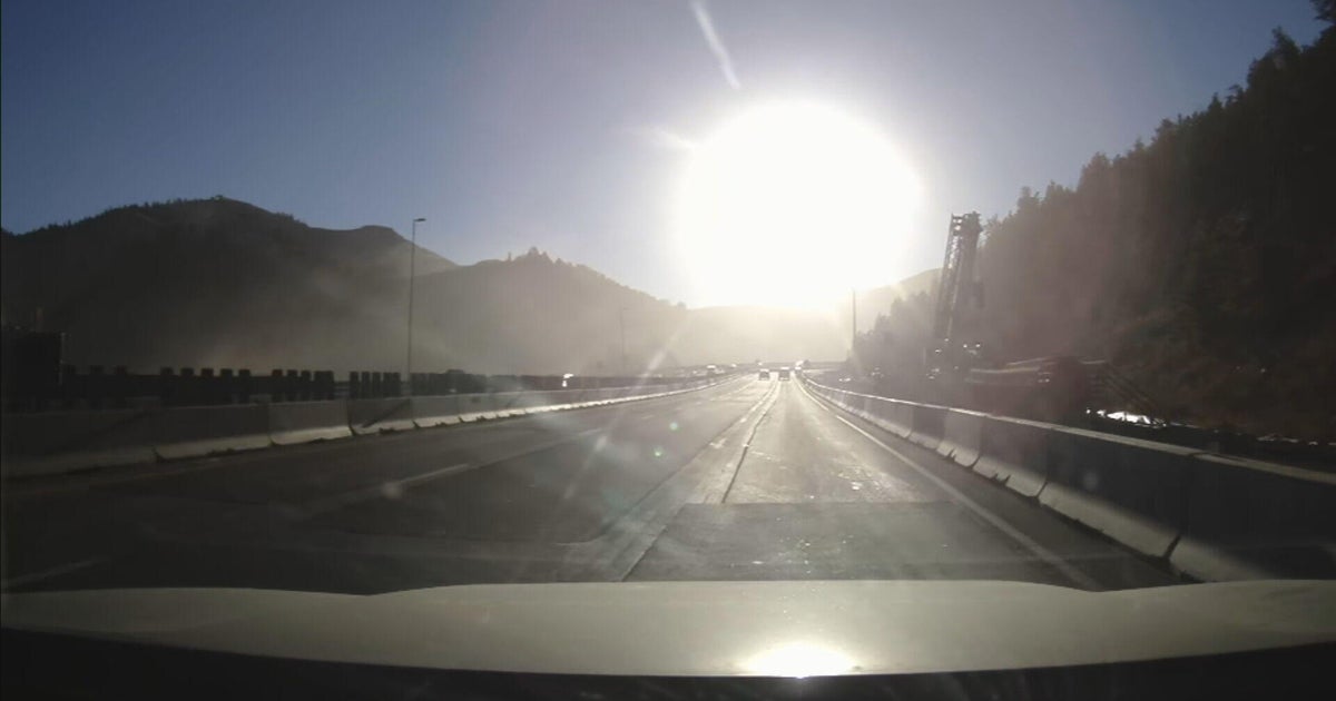 Bright sun glare prompts I-70 closures in Colorado's mountains, from sunrise to mid-morning
October 21, 2026 / 9:43 AM MDT / CBS Colorado As the days get shorter with winter approaching, drivers in Colorado traveling on I-70 will start running into a new issue: sun glare while they are driving. The Colorado…
-
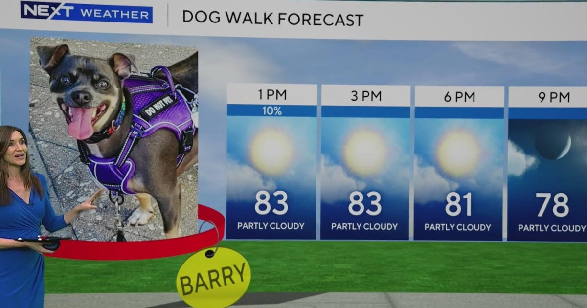 South Florida stays beautiful, breezy on Wednesday before heavy rain, king tides bring flood risk
The rest of Wednesday is expected to be beautiful, breezy and mainly dry. However, big changes are on the way that will be leading to a NEXT Weather Alert issues starting Sunday. CBS News Miami NEXT Weather…
-
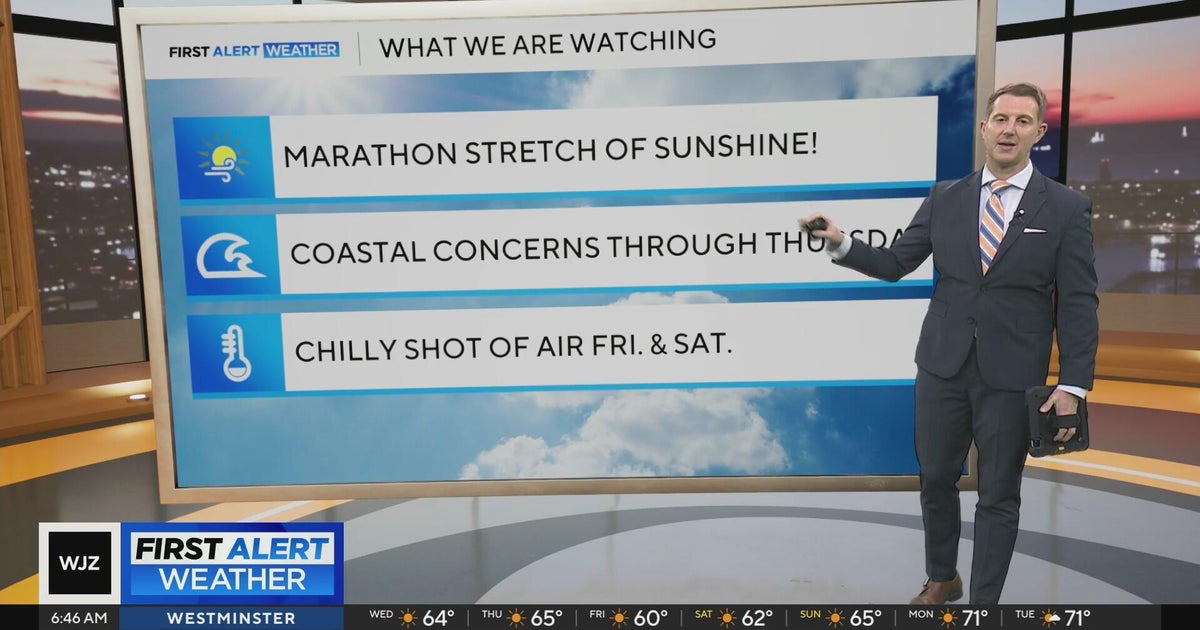 Sunshine continues for days across Maryland
CBS News Sunshine continues for days across Maryland Around Town: Flock to the Ivy Hotel to enjoy their purple pride packages Goetze Candy Company has a new beer collab with Monument City Brewing called "Bulls-eye" The…
-
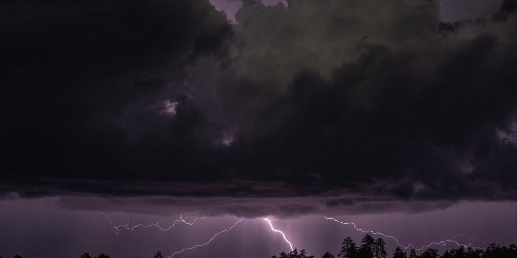 Rare severe storm threat targets Southern California while Arizona faces potential egg-sized hail, tornadoes
FLAGSTAFF, Ariz. — Severe thunderstorms blasted parts of Arizona early Wednesday ahead of a rare severe weather threat that will intensify through the day and into the evening. Parts of the state, including Flagstaff…
-
 Eastern Pacific blasts past seasonal hurricane records, thanks to El Niño
The Eastern Pacific basin has broken several hurricane season records already, while the Atlantic remains quiet. Published Oct 21, 2026 10:33 AM EDT | Updated Oct 21, 2026 10:33 AM EDT From coffee and chocolate to…
-
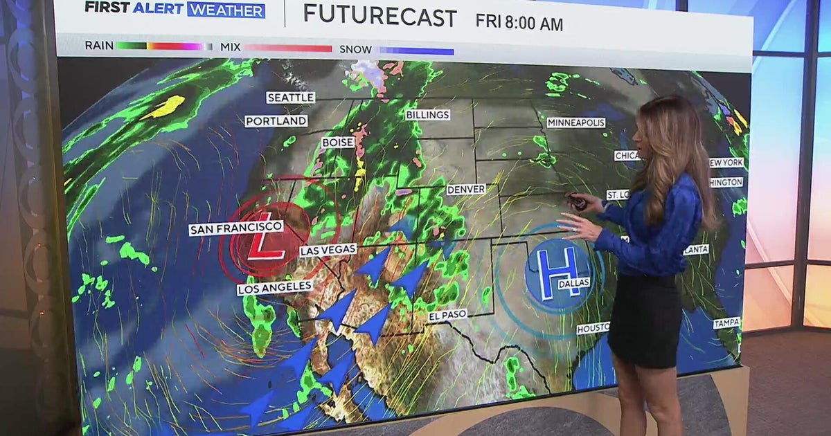 Southwest Colorado braces for heavy rain while dry and warm weather continue for Denver
CBS News Southwest Colorado braces for heavy rain while dry and warm weather continue for Denver I-25 expansion project in Northern Colorado nears completion Ugandan priest released from ICE custody after more than a…
Forecasts, observations and alerts in the United States come from the National Weather Service (NOAA); radar from NOAA's Multi-Radar Multi-Sensor system; satellite imagery from NASA's Global Imagery Browse Services (GIBS) and NOAA's GOES satellites; the map from the U.S. Geological Survey's National Map; air quality from AirNow (EPA and its partners); hurricane information from the National Hurricane Center; climate normals and records from NOAA's Regional Climate Centers (ACIS). Forecasts outside the United States and the UV index: MET Norway (CC BY 4.0); observations outside the U.S.: airport reports via NOAA's Aviation Weather Center. Place names: GeoNames (CC BY 4.0). Data are copied on a schedule and may lag the sources; for warnings that affect your safety, follow your local National Weather Service office and emergency officials. Weather news is drawn from the 4Conservative index and reflects what the press published. Terms of use.