Install
Putatan, Sabah, Malaysia Weather
Current conditions
Observed at Kota Kinabalu Intl · 50 min ago
Forecast
10-day-
Tuesday Night
Partly cloudy. Low 25°.
-
Wednesday
Heavy rain. High 31°. Precipitation 4.5 mm for the day.
-
Wednesday Night
Rain. Low 24°. Precipitation 4.5 mm for the day.
MET Norway forecast updated 1 hr ago.
Hourly
Hourly forecast- Now26°
- 22:0026°
- 23:0025°
- Wed00:0025°
- 01:0025°
- 02:0025°
- 03:0024°
- 04:0024°
- 05:0024°
- 06:0024°
- 07:0026°
- 08:0028°
- 09:0029°
- 10:0030°
- 11:0031°
- 12:0031°0.2
- 13:0030°0.7
- 14:0029°0.7
- 15:0029°0.2
- 16:0028°0.2
- 17:0028°1.3
- 18:0026°0.8
- 19:0025°0.4
- 20:0025°
10-day forecast
Details- TonightOct 20Partly cloudy25°26°
- WedOct 21Heavy rain4.5 mm24°31°
- ThuOct 22Heavy rain10.3 mm24°30°
- FriOct 23Heavy rain14.9 mm24°29°
- SatOct 24Heavy rain18.1 mm23°29°
- SunOct 25Heavy rain7.7 mm23°30°
- MonOct 26Rain9.1 mm23°30°
- TueOct 27Heavy rain11.1 mm23°30°
- WedOct 28Rain7.6 mm23°30°
- ThuOct 29Showers3.8 mm23°30°
Radar
Full mapWeather news in Malaysia
More weather news-
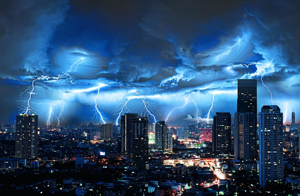 Thunderstorms and heavy rain forecast for 13 states, KL and Putrajaya until 5pm
PETALING JAYA: The Malaysian Meteorological Department (MetMalaysia) has issued a warning of thunderstorms, heavy rain and strong winds across 13 states and two Federal Territories, effective until 5pm on Saturday (Oct…
-
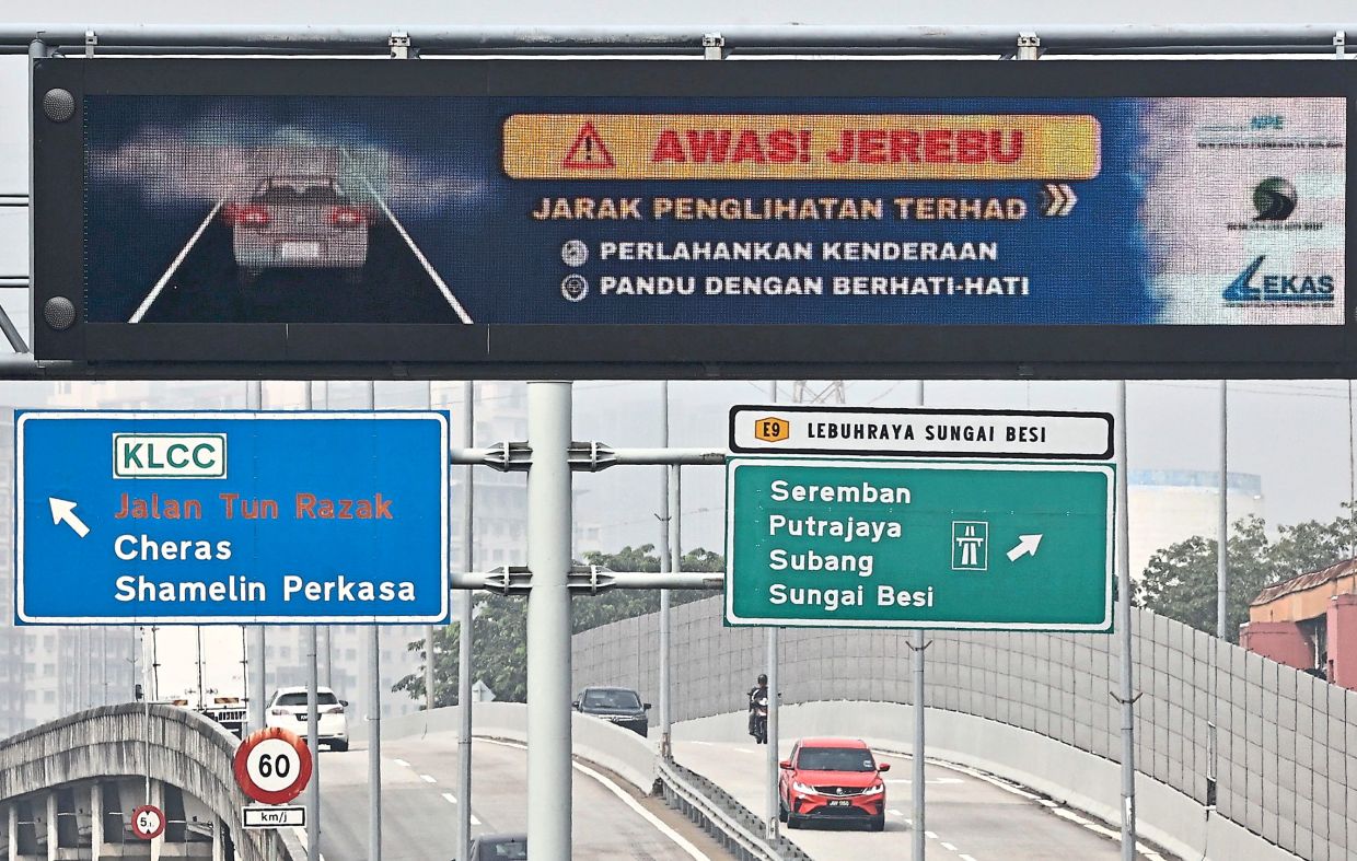 Alert Level 3 in parts of South-East Asia
PETALING JAYA: The Asean Specialised Meteorological Centre (ASMC) has issued Alert Level 3 for southern South-East Asia, signalling a high risk of severe transboundary haze as dry weather and widespread hotspots…
- ASEAN Meteorological Centre activates highest alert level over haze — Asharq Al-Awsat
The ASEAN Specialized Meteorological Centre has activated a level-three alert for the southern part of the region due to thick smoke from fires in Indonesia. The haze is disrupting daily life in several Southeast Asian…
-
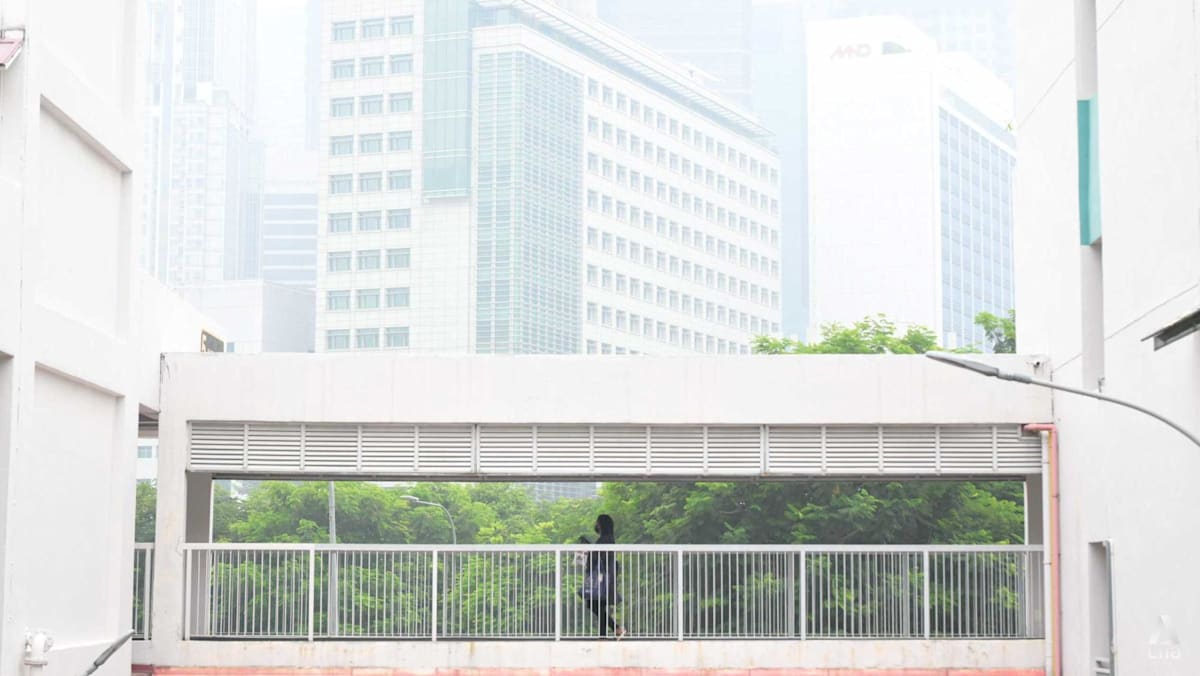 Singapore haze: PM2.5 readings climb into high band in four regions
SINGAPORE: One-hour PM2.5 levels climbed into the high band in four regions of Singapore on Saturday (Oct 17), even as the overall haze situation appeared to have eased from Friday's highs. At 4pm, the 1-hour PM2.5…
- Signs point to intense El Nino in Asia-Pacific region
The temperature of a key Pacific Ocean region used to monitor El Nino conditions reached an all-time high in September, underscoring the exceptional intensity of the current weather pattern. Experts in the Asia-Pacific…
-
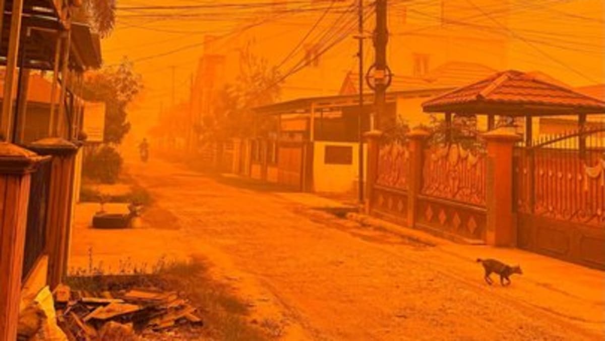 Orange skies as PM2.5 exceeds 3,000 in Central Kalimantan on Oct 14
PM2.5 levels soared as high as 3,340 in Palangkaraya, the capital of Indonesia's Central Kalimantan province, at 1pm on Wednesday (Oct 14), as thick orange haze continued to blanket the region. Forest fires have…
- Haze or not, it’s work as usual for some in Malaysia
Street sweeper Mohd Rizan Mehran sticks to his daily work routine despite the heat and haze. Published Oct 16, 2026, 09:44 AM Updated Oct 16, 2026, 10:31 AM JOHOR BAHRU – The haze, which has been blanketing parts of…
-
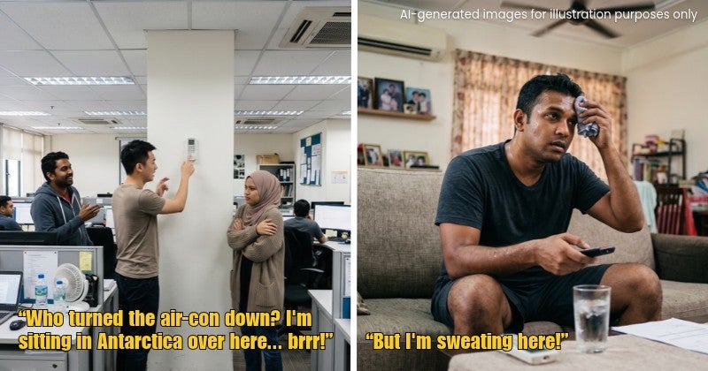 Always Fighting Over the Air-Con Temperature at Home or Work? Here’s Why
Every Malaysian office seems to have two types of people: the one wrapped in a jacket like they’re holidaying in Genting Highlands, and the one complaining that the air-con isn’t cold enough. “Eh, can make the air-con…
- Monsoon transition begins Oct 9, bringing thunderstorms, flash flood and fallen tree risks, MetMalaysia warns
PUTRAJAYA, Oct 6 — The monsoon transition phase is expected to begin on October 9 and continue until late October, marking the end of the South-west Monsoon, which began on May 14. Malaysian Meteorological Department…
-
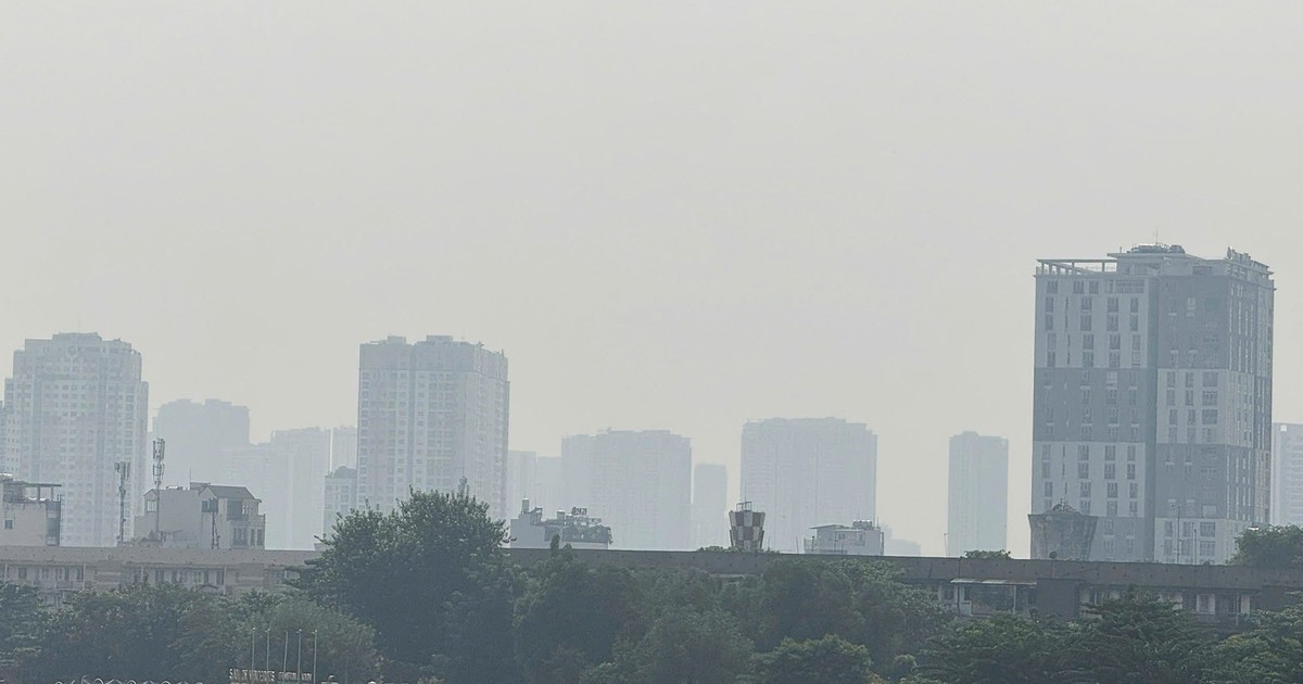 Is haze from Indonesian forest fires behind Ho Chi Minh City's murky skies?
Thursday, October 15, 2026, 15:02 GMT+7 Thick haze blanketed Ho Chi Minh City on Thursday morning, raising questions about whether smoke from forest fires in Indonesia had drifted into southern Vietnam. Meteorologists…
Sun & moon
Nearby
- Kota Kinabalu 6 km
- Donggongon 5 km
- Petagas 2 km
- Tambunan 44 km
- Papar 26 km
- Kinarut 12 km
- Kampung Kundassang 57 km
- Bongawan 49 km
- Inanam 11 km
Forecasts, observations and alerts in the United States come from the National Weather Service (NOAA); radar from NOAA's Multi-Radar Multi-Sensor system; satellite imagery from NASA's Global Imagery Browse Services (GIBS) and NOAA's GOES satellites; the map from the U.S. Geological Survey's National Map; air quality from AirNow (EPA and its partners); hurricane information from the National Hurricane Center; climate normals and records from NOAA's Regional Climate Centers (ACIS). Forecasts outside the United States and the UV index: MET Norway (CC BY 4.0); observations outside the U.S.: airport reports via NOAA's Aviation Weather Center. Place names: GeoNames (CC BY 4.0). Data are copied on a schedule and may lag the sources; for warnings that affect your safety, follow your local National Weather Service office and emergency officials. Weather news is drawn from the 4Conservative index and reflects what the press published. Terms of use.