Install
San Gabriel, Jalisco, Mexico Weather
Current conditions
Forecast for this hour (no station report in the last two hours)
Forecast
10-day-
Saturday
Cloudy. High 26°.
-
Saturday Night
Partly cloudy. Low 13°.
-
Sunday
Cloudy. High 22°.
MET Norway forecast updated 7 hrs ago.
Hourly
Hourly forecast- Now25°
- 15:0026°
- 16:0025°
- 17:0025°
- 18:0023°
- 19:0021°
- 20:0021°
- 21:0020°
- 22:0019°
- 23:0018°
- Sun00:0017°
- 01:0017°
- 02:0016°
- 03:0016°
- 04:0016°
- 05:0016°
- 06:0016°
- 07:0016°
- 08:0016°
- 09:0017°
- 10:0018°
- 11:0019°
- 12:0020°
- 13:0022°
10-day forecast
DetailsRadar
Full mapWeather news near San Gabriel
More weather news-
 Update: Brace for strong thunderstorms in Santa Susana/San Gabriel Mountains Thursday morning
Eastern San Gabriel Mountains and San Gabriel Valley are under an updated weather alert for strong thunderstorms by the National Weather Service on Thursday at 1:50 p.m. The alert is in effect until 2:15 p.m. Eastern…
-
 Be prepared for strong thunderstorms in Eastern San Gabriel Mountains and San Gabriel Valley Thursday morning
The National Weather Service issued an updated weather alert at 5:58 a.m. on Thursday for strong thunderstorms in effect until 6:30 a.m. for Eastern San Gabriel Mountains. The National Weather Service issued an updated…
- UPDATE: Expect strong thunderstorms in Eastern San Gabriel Mountains Thursday morning
An updated report from the NWS Los Angeles/Oxnard CA was issued on Thursday at 5:58 a.m. for strong thunderstorms until 6:30 a.m. for Eastern San Gabriel Mountains. Residents can anticipate wind gusts of up to 40 mph…
- UPDATE: Prepare for strong thunderstorms Thursday afternoon
The NWS Los Angeles/Oxnard CA issued an updated report at 1:50 p.m. on Thursday for strong thunderstorms until 2:15 p.m. for Eastern San Gabriel Mountains and Los Angeles. Residents can expect wind gusts of up to 40…
-
 Tropical Storm Vance has formed in the Pacific Ocean
San Gabriel Valley Tribune The center of the cyclone was at sea and posed no threat to land. Vance was located about 520 miles south of Acapulco, Mexico. Maximum sustained winds were around 40 mph, according to an…
-
 Rain Expected Midweek in Pasadena and the San Gabriel Valley
Pasadena and the San Gabriel Valley will see sunny skies Tuesday, with a high near 80 and a low around 62 Tuesday night. By News Desk Clouds will increase Wednesday, and showers a Pasadena and the San Gabriel Valley…
-
 Southern California's wild weather swings continue. Next up, rain
Southern California is likely in for a solid dose of rain this week, just days after heat and Santa Ana winds helped fuel several wildfires across the region. Forecasters expect the bulk of the rain to roll into the Los…
-
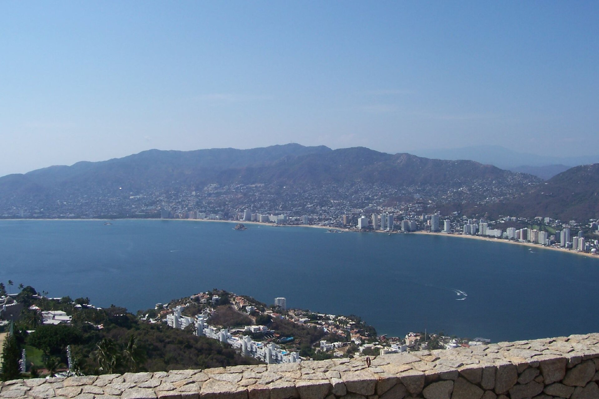 Category 2 Hurricane Vance Churns Off Mexico
Hurricane Vance, a Category 2 storm in the Pacific Ocean, was about 365 miles (590 km) south-southwest of Acapulco, Mexico, at 3 am Mexico time on Saturday 24 October 2026, the US National Hurricane Center said. No…
-
 Severe storms threaten central New Mexico through weekend
Central New Mexico can expect some intense, scattered thunderstorms starting Friday night and lasting throughout the weekend. Storms in the late afternoon and early evening Friday could become "strong to severe," with…
-
 Vance could be a major Category 3 hurricane Friday as it nears Mexico
Vance has become a hurricane off the coast of Mexico MIAMI — Vance became a hurricane Friday and the National Hurricane Center said it would strengthen rapidly as it nears Mexico’s Pacific Coast. Vance was a Category 1…
Sun & moon
Nearby
- Zapopan 51 km
- Guadalajara 51 km
- Tlaquepaque 51 km
- Tonalá 50 km
- Tepatitlán de Morelos 34 km
- Zapotlanejo 44 km
- Coyula 46 km
- Nuevo México 53 km
- Las Pintitas 59 km
- Jalostotitlán 60 km
- El Salto 58 km
- Nochistlán de Mejía 42 km
Forecasts, observations and alerts in the United States come from the National Weather Service (NOAA); radar from NOAA's Multi-Radar Multi-Sensor system; satellite imagery from NASA's Global Imagery Browse Services (GIBS) and NOAA's GOES satellites; the map from the U.S. Geological Survey's National Map; air quality from AirNow (EPA and its partners); hurricane information from the National Hurricane Center; climate normals and records from NOAA's Regional Climate Centers (ACIS). Forecasts outside the United States and the UV index: MET Norway (CC BY 4.0); observations outside the U.S.: airport reports via NOAA's Aviation Weather Center. Place names: GeoNames (CC BY 4.0). Data are copied on a schedule and may lag the sources; for warnings that affect your safety, follow your local National Weather Service office and emergency officials. Weather news is drawn from the 4Conservative index and reflects what the press published. Terms of use.