Install
San Esteban (San Miguel Tateposco), Jalisco, Mexico Weather
Current conditions
Forecast for this hour (no station report in the last two hours)
Forecast
10-day-
Monday
Light rain. High 28°. Precipitation 2.8 mm for the day.
-
Monday Night
Heavy rain. Low 17°. Precipitation 2.8 mm for the day.
-
Tuesday
Cloudy. High 26°. Precipitation 0.4 mm for the day.
MET Norway forecast updated 2 days ago.
Hourly
Hourly forecast- Now18°
- 09:0021°
- 10:0023°
- 11:0024°
- 12:0026°
- 13:0027°
- 14:0028°
- 15:0028°0.2
- 16:0027°
- 17:0026°
- 18:0025°
- 19:0022°0.2
- 20:0021°0.2
- 21:0019°1.5
- 22:0018°0.4
- 23:0018°0.2
Daily forecast
DetailsRadar
Full mapWeather news in Mexico
More weather news-
 New Mexico to get a short break from an unsettled weather pattern
New Mexico will get a break from an unsettled weather pattern for at least a couple of days before it could return again next weekend. New Mexico to get a short break from an unsettled weather pattern Chief…
-
 Vance no longer a hurricane but as a tropical storm still threatens Mexico's Pacific coast
MIAMI — A gradually weakening Tropical Storm Vance churned Sunday off Mexico's southwest Pacific coast but still threatened heavy rains and flash flooding in several western states of the country. Vance, a former…
-
 Vance no longer a hurricane but still threatens Mexico’s Pacific coast as a tropical storm
MIAMI — A gradually weakening Tropical Storm Vance churned Sunday off Mexico’s southwest Pacific coast but still threatened heavy rains and flash flooding in several western states of the country. Vance, a former…
-
 Saturday evening forecast: Heavy rain to continue in parts of New Mexico through Sunday
ALBUQUERQUE, N.M. – Flood warnings remain in parts of west-central New Mexico after radar estimated 2.5 to 4.5 inches of rain near Laguna and along Interstate 40. The Albuquerque metro stayed mostly clear, though…
-
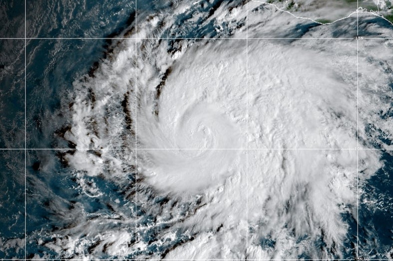 Hurricane Vance intensifies rapidly off Mexico's Pacific Coast
This GOES-19 GeoColor satellite image provided by the National Oceanic and Atmospheric Administration (NOAA) and taken on Friday, Oct. 23, 2026, shows Hurricane Vance in the Pacific. Hurricane Vance rapidly strengthened…
-
 Rainy Start to the Week
Showers will linger as the weekend comes to a close, although a few breaks in the rain are possible this evening. Another round of showers and thunderstorms is expected to move out of New Mexico and into our viewing…
-
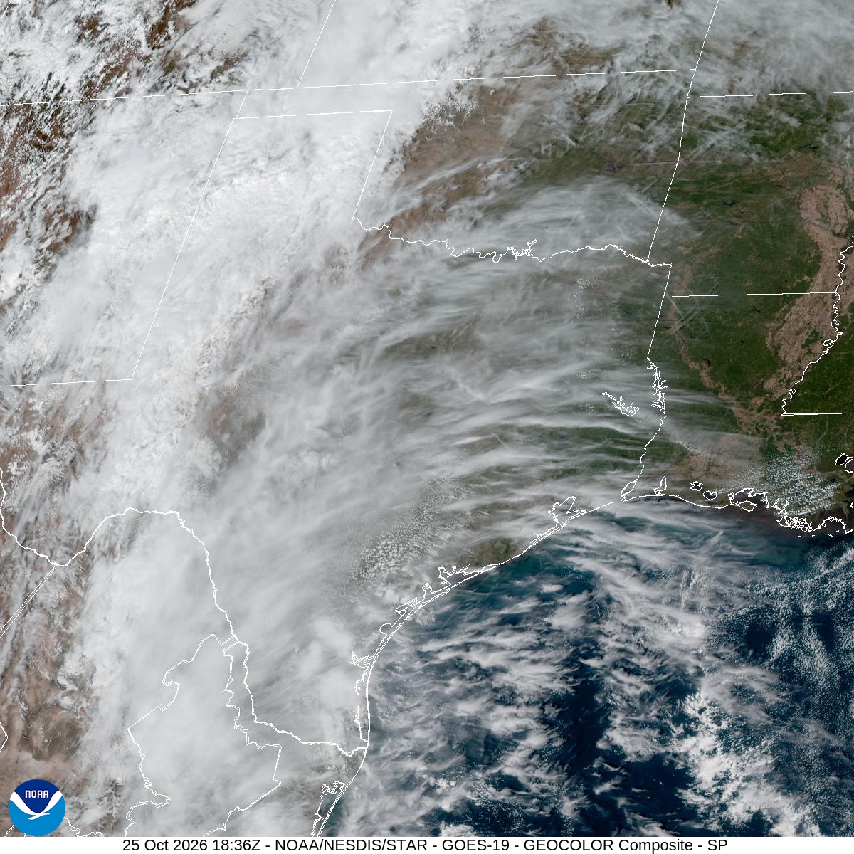 Houston weather forecast: Could rain reach Halloween?
High cloud cover is seen streaming into Texas Sunday afternoon from the south and west as eastern Pacific Hurricane Vance churns off the west coast of Mexico. This week's forecast will feature partly to mostly cloudy…
-
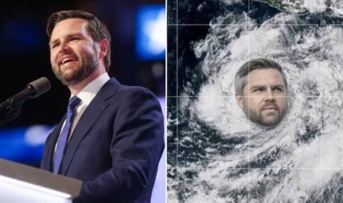 Hurricane Vance Strengthens Off Mexico’s Pacific Coast; Name Draws Jokes Online
A storm named Vance has strengthened into a hurricane in the eastern Pacific off Mexico, according to reports. The name has made it a subject of memes about U.S. Vice President JD Vance. The two are unrelated. Vance…
-
 Sunday showers continue across the Panhandle
Showers will linger as the weekend comes to a close, although a few breaks in the rain are possible this evening. Another round of showers and thunderstorms is expected to move out of New Mexico and into our viewing…
-
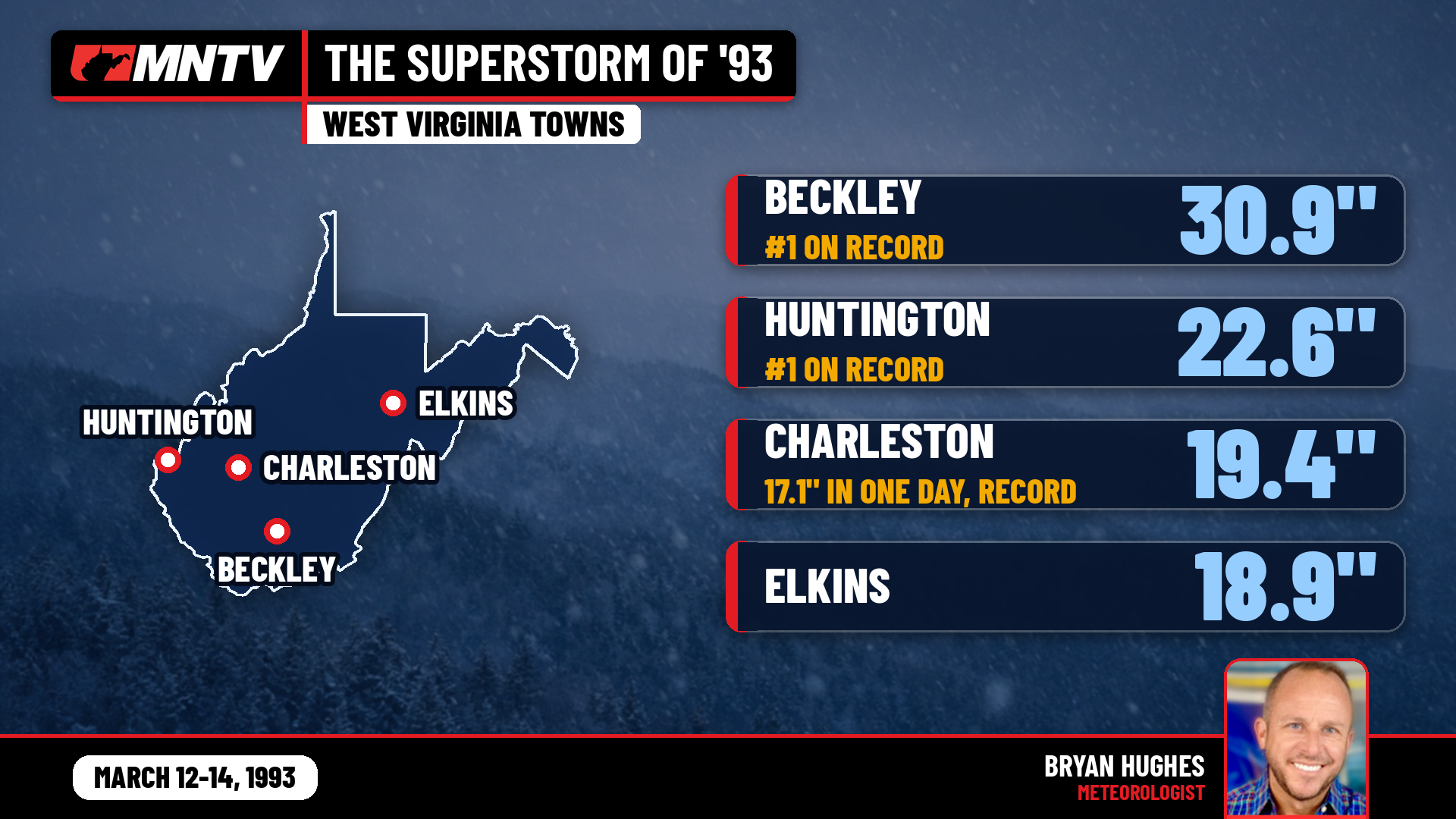 The Storm of the Century: When West Virginia Disappeared Under Feet of Snow
I’ve been forecasting West Virginia weather for 27 years, and there’s one storm folks still bring up at the grocery store, at ballgames, and in my Facebook comments: March 12-14, 1993. You might know it as the…
Sun & moon
Nearby
- Zapopan 9 km
- Guadalajara 14 km
- Tlaquepaque 19 km
- Tonalá 24 km
- Hacienda Santa Fe 31 km
- San José del Castillo 35 km
- Tala 38 km
- Zapotlanejo 37 km
- Tlajomulco de Zúñiga 37 km
- Coyula 22 km
- Tequila 49 km
- Nuevo México 9 km
Forecasts, observations and alerts in the United States come from the National Weather Service (NOAA); radar from NOAA's Multi-Radar Multi-Sensor system; satellite imagery from NASA's Global Imagery Browse Services (GIBS) and NOAA's GOES satellites; the map from the U.S. Geological Survey's National Map; air quality from AirNow (EPA and its partners); hurricane information from the National Hurricane Center; climate normals and records from NOAA's Regional Climate Centers (ACIS). Forecasts outside the United States and the UV index: MET Norway (CC BY 4.0); observations outside the U.S.: airport reports via NOAA's Aviation Weather Center. Place names: GeoNames (CC BY 4.0). Data are copied on a schedule and may lag the sources; for warnings that affect your safety, follow your local National Weather Service office and emergency officials. Weather news is drawn from the 4Conservative index and reflects what the press published. Terms of use. How to use Weather