Install
Ocotlán de Morelos, Oaxaca, Mexico Weather
Current conditions
Observed at Oaxaca/Xoxocotlán Intl · 1 hr ago
Forecast
10-day-
Tuesday
Heavy rain. High 26°. Precipitation 2.6 mm for the day.
-
Tuesday Night
Light rain. Low 18°. Precipitation 2.6 mm for the day.
-
Wednesday
Rain. High 25°. Precipitation 1.1 mm for the day.
MET Norway forecast updated 9 hrs ago.
Hourly
Hourly forecast- Now23°
- 17:0022°0.2
- 18:0021°0.2
- 19:0020°
- 20:0020°
- 21:0019°
- 22:0018°
- 23:0018°
- Wed00:0018°
- 01:0018°
- 02:0017°
- 03:0018°
- 04:0017°
- 05:0017°
- 06:0016°
- 07:0017°
- 08:0018°
- 09:0020°
- 10:0022°
- 11:0023°0.3
- 12:0024°0.3
- 13:0024°0.2
- 14:0025°0.2
- 15:0025°
10-day forecast
DetailsRadar
Full mapWeather news near Ocotlán de Morelos
More weather news-
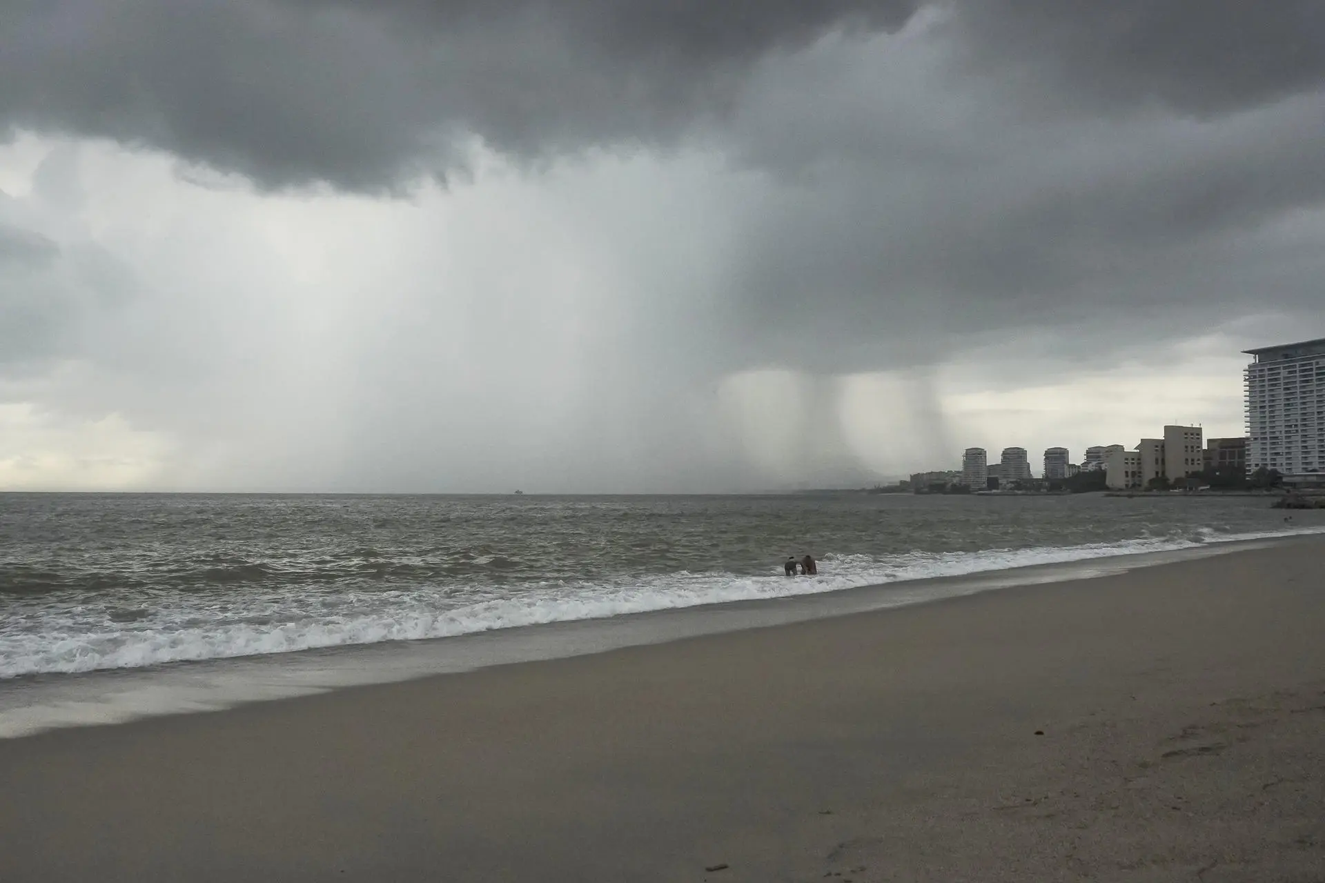 Mexico Keeps Rain Alert as Hurricane Trudy Downgrades to Category 1
October 16, 2026 Hour: 10:43 pm The downgrade came hours after the storm reached Category 3 in the early morning hours and registered Category 2 around midday, the National Meteorological Service (SMN) said in an…
-
 Se intensifica huracán 'Trudy' a categoría 2
El huracán 'Trudy' alcanzó categoría 2 y se ubica a 375 kilómetros al suroeste de Acapulco; provocará lluvias intensas en Guerrero y Oaxaca. Cd. de México (15 octubre 2026) .-22:08 hrs Trudy alcanzó categoría 2 y…
- Weather Today
Weather Forecast and Conditions for Puerto Escondido, 71984, Oaxaca, Mexico - The Weather Channel | Weather.com The Weather Channel Puerto Escondido, 71984, Oaxaca, Mexico Puerto Escondido Daily Forecast
- Hurricane Trudy strengthens to Category 1 off Mexico’s Pacific coast
The storm brought warnings of intense rain, strong winds and dangerous sea conditions in Guerrero and Oaxaca. Authorities urged people to stay away from beaches and avoid crossing flooded areas. Hurricane Trudy…
-
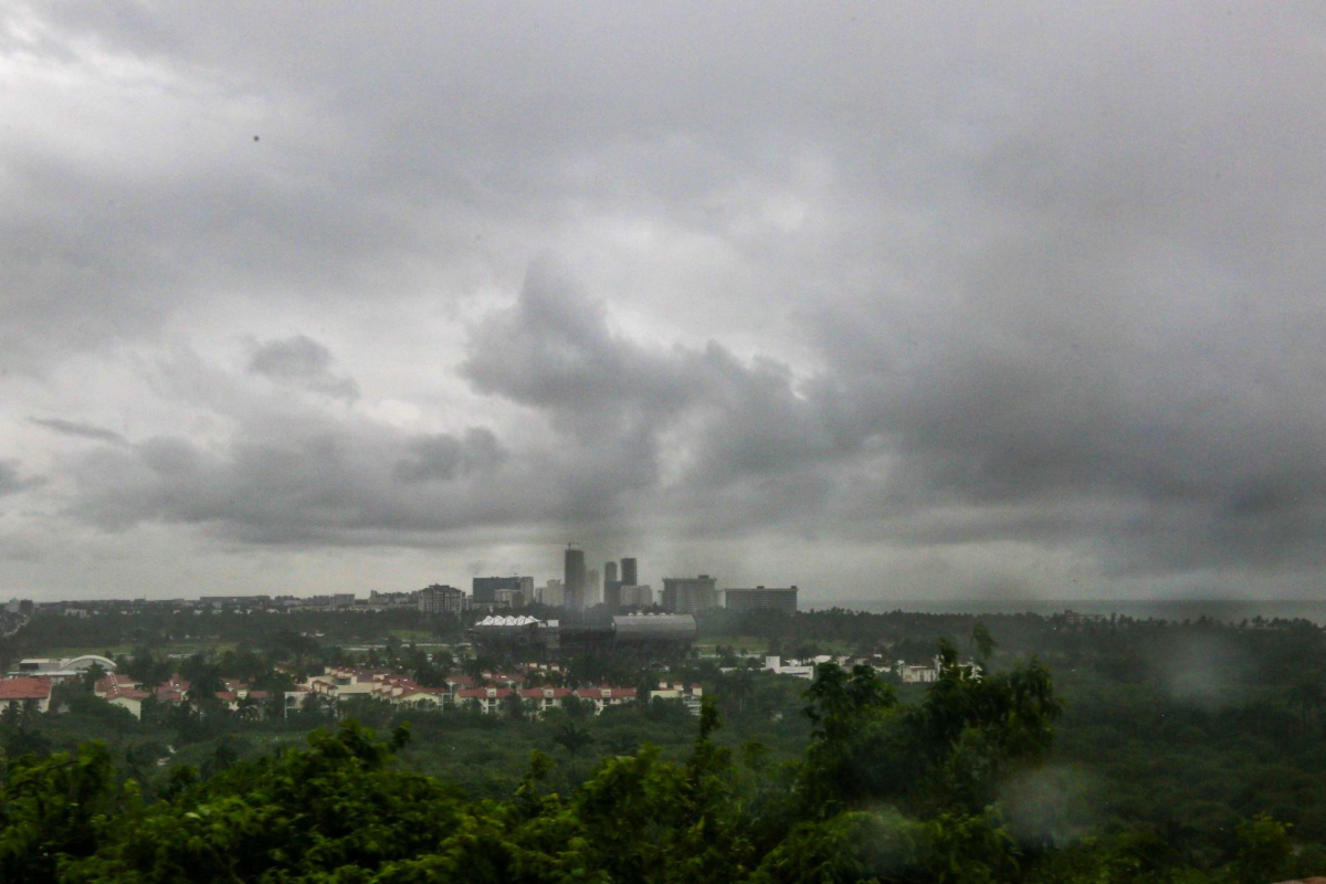 Hurricane Trudy and a cold front are approaching Mexico: they will bring rain, low temperatures, and strong winds
This weekend, heavy rain and strong winds are expected across much of the country, along with low temperatures: authorities are urging the public to exercise extreme caution Hurricane Trudy is approaching Mexico, and…
- Mientras el huracán Simon sigue su camino, la tormenta Trudy toma fuerza y podría impactar en Jalisco el fin de semana
Trudy se localizaba la mañana de este miércoles a 535 kilómetros al sur-suroeste de Lagunas de Chacahua, Oaxaca, y a unos 600 kilómetros al sur de Acapulco, Guerrero, y avanzaba hacia el oeste-noroeste a 20 kilómetros…
-
 Rain and cooler temperatures around New Mexico
Isolated rain with very spotty lightning activity is once again present mostly in parts of western and southern New Mexico as clouds are present across the region. Skies are generally partly to mostly cloudy with some…
- Mexico Weather
Weather forecast and conditions for Mexico, Missouri, United States - The Weather Channel | weather.com The Weather Channel Mexico, Missouri, United States
-
 Heavy rain and flash flooding possible in New Mexico, southwest Colorado this week
A strong storm system will bring widespread rain to New Mexico and southwest Colorado Wednesday through Friday. Heavy rainfall could lead to flash flooding, especially Thursday and Friday. Several inches of rain are…
-
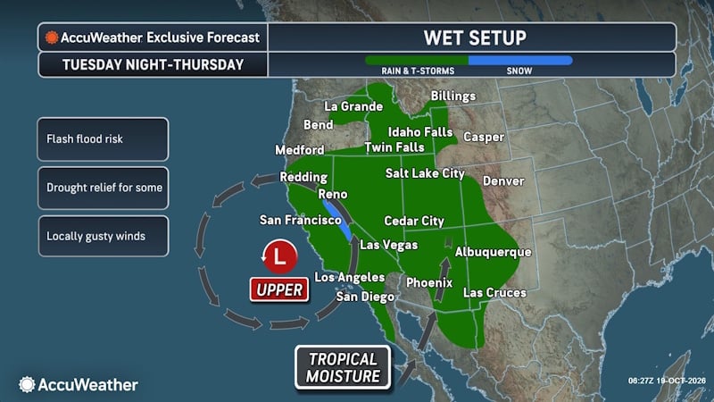 Tropical Threat Brewing Off Mexico Could Funnel Heavy Rain Toward the US Southern Plains
People from western Mexico into the southern Plains in the U.S. need to closely monitor the developing tropical threat as moisture from the system could eventually stream north. AccuWeather hurricane experts are…
Sun & moon
Nearby
- Oaxaca 30 km
- Santa Cruz Xoxocotlán 27 km
- Miahuatlán de Porfirio Díaz 52 km
- Santa María Atzompa 36 km
- San Antonio de la Cal 27 km
- Villa de Zaachila 19 km
- San Jacinto Amilpas 36 km
- Tlacolula de Matamoros 28 km
- Vicente Guerrero 16 km
- Cuilápam de Guerrero 25 km
- El Rosario 28 km
- Zimatlán de Álvarez 14 km
Forecasts, observations and alerts in the United States come from the National Weather Service (NOAA); radar from NOAA's Multi-Radar Multi-Sensor system; satellite imagery from NASA's Global Imagery Browse Services (GIBS) and NOAA's GOES satellites; the map from the U.S. Geological Survey's National Map; air quality from AirNow (EPA and its partners); hurricane information from the National Hurricane Center; climate normals and records from NOAA's Regional Climate Centers (ACIS). Forecasts outside the United States and the UV index: MET Norway (CC BY 4.0); observations outside the U.S.: airport reports via NOAA's Aviation Weather Center. Place names: GeoNames (CC BY 4.0). Data are copied on a schedule and may lag the sources; for warnings that affect your safety, follow your local National Weather Service office and emergency officials. Weather news is drawn from the 4Conservative index and reflects what the press published. Terms of use.