Install
Enrique Estrada, San Luis Potosí, Mexico Weather
Current conditions
Forecast for this hour (no station report in the last two hours)
Forecast
10-day-
Thursday
Fog. High 23°.
-
Thursday Night
Fog. Low 12°.
-
Friday
Rain. High 22°. Precipitation 0.9 mm for the day.
MET Norway forecast updated 23 hrs ago.
Hourly
Hourly forecast- Now14°
- 03:0013°
- 04:0012°
- 05:0012°
- 06:0012°
- 07:0012°
- 08:0012°
- 09:0014°
- 10:0017°
- 11:0019°
- 12:0021°
- 13:0022°
- 14:0023°
- 15:0023°
- 16:0022°
- 17:0020°
- 18:0018°
- 19:0017°
- 20:0016°
- 21:0016°
- 22:0015°
- 23:0015°
- Fri00:0015°
- 01:0015°
Daily forecast
DetailsRadar
Full mapWeather news near Enrique Estrada
More weather news-
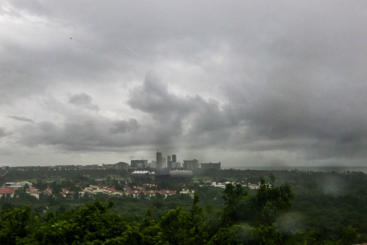 Hurricane Trudy and a cold front are approaching Mexico: they will bring rain, low temperatures, and strong winds
This weekend, heavy rain and strong winds are expected across much of the country, along with low temperatures: authorities are urging the public to exercise extreme caution Hurricane Trudy is approaching Mexico, and…
-
 Heavy rain could bring flash flooding to New Mexico, southwest Colorado through Friday
KRQE A strong storm system will bring widespread rain to New Mexico and southwest Colorado starting Wednesday, with several inches of rain possible in some areas through Friday Heavy rainfall could lead to flash…
-
 Active weather pattern in New Mexico takes a slight lull Tuesday
ALBUQUERQUE, N.M. — An active stretch of weather in New Mexico continued Tuesday morning but the afternoon and evening will see it take a slight lull. The Albuquerque metro saw some rain overnight. However, drier air is…
-
 Rain and cooler temperatures around New Mexico
Isolated rain with very spotty lightning activity is once again present mostly in parts of western and southern New Mexico as clouds are present across the region. Skies are generally partly to mostly cloudy with some…
-
 Rain, river rises expected in New Mexico this week
Star Ligon makes adjustments to bunches of ceramic red chile ristras while enjoying warm weather in the Rainbow Man’s historic courtyard Friday. The Rainbow Man keeps the courtyard open through good weather and…
-
 Heavy rain and flash flooding possible in New Mexico, southwest Colorado this week
KRQE A strong storm system will bring widespread rain to New Mexico and southwest Colorado Wednesday through Friday Heavy rainfall could lead to flash flooding, especially Thursday and Friday Several inches of rain are…
-
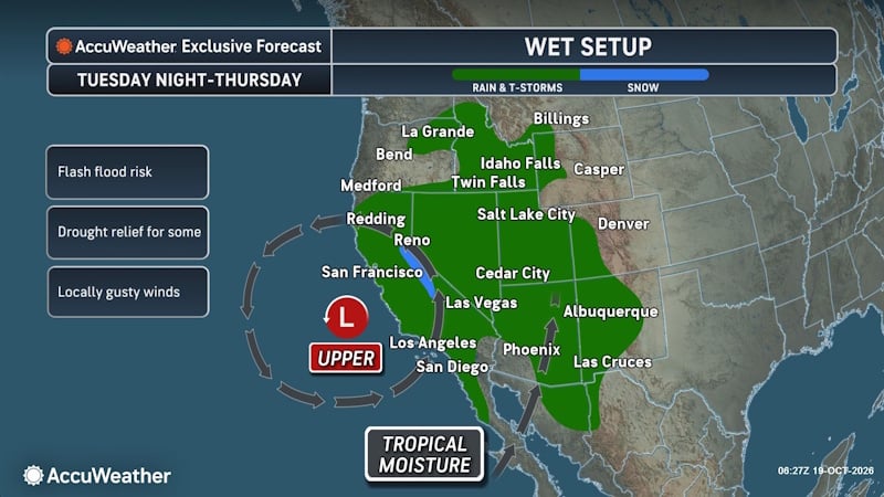 Tropical Threat Brewing Off Mexico Could Funnel Heavy Rain Toward the US Southern Plains
People from western Mexico into the southern Plains in the U.S. need to closely monitor the developing tropical threat as moisture from the system could eventually stream north. AccuWeather hurricane experts are…
-
 Hurricane season brings additional rains to Sinaloa hard squash season
As Mexico's hard squash season approaches, The Sykes Co. is preparing for production from its grower partners in Sonora and Sinaloa. "It's been an active hurricane season along Mexico's Pacific coast, with several…
- Mexico Weather
Weather forecast and conditions for Mexico, Missouri, United States - The Weather Channel | weather.com The Weather Channel Mexico, Missouri, United States
-
 Germany Weather
The Batesville Daily Guard Colourful trees stand in a park in a residential area in Frankfurt, Germany, Wednesday, Oct. 21, 2026. There was a problem reporting this. Keep it Clean. Please avoid obscene, vulgar, lewd…
Sun & moon
Nearby
- San Luis Potosí 13 km
- Soledad de Graciano Sánchez 8 km
- Santa María del Río 52 km
- Villa de Reyes 49 km
- Villa Zaragoza 28 km
- Villa de Arista 45 km
- La Pila 23 km
- Moctezuma 60 km
- Escalerillas 24 km
- Ahualulco del Sonido Trece 34 km
- El Rosario 56 km
- Rancho Nuevo 4 km
Forecasts, observations and alerts in the United States come from the National Weather Service (NOAA); radar from NOAA's Multi-Radar Multi-Sensor system; satellite imagery from NASA's Global Imagery Browse Services (GIBS) and NOAA's GOES satellites; the map from the U.S. Geological Survey's National Map; air quality from AirNow (EPA and its partners); hurricane information from the National Hurricane Center; climate normals and records from NOAA's Regional Climate Centers (ACIS). Forecasts outside the United States and the UV index: MET Norway (CC BY 4.0); observations outside the U.S.: airport reports via NOAA's Aviation Weather Center. Place names: GeoNames (CC BY 4.0). Data are copied on a schedule and may lag the sources; for warnings that affect your safety, follow your local National Weather Service office and emergency officials. Weather news is drawn from the 4Conservative index and reflects what the press published. Terms of use.