Install
El Campanario y Oradel, Tamaulipas, Mexico Weather
Current conditions
Forecast for this hour (no station report in the last two hours)
Forecast
10-day-
Monday
Mostly sunny. High 31°.
-
Monday Night
Mostly clear. Low 21°.
-
Tuesday
Rain. High 27°. Precipitation 4.9 mm for the day.
MET Norway forecast updated 5 days ago.
Daily forecast
DetailsRadar
Full mapWeather news near El Campanario y Oradel
More weather news-
 Texas Warms Back Up, West Texas Rain Chances Return by Friday | Texas Weather Roundup
Crashy the Cold Front is long gone, and Texas is warming back up. South winds and a little more humidity are back this week. Most of the state stays dry, but rain chances creep back into West Texas by Thursday and…
-
 Cool Airmass Slowly Moving to our East
Sunday 7 Day Forecast LAREDO, Tex. (KGNS) - A large cool airmass is still in control of our weather. Pacific moisture above our dry airmass has brought a cloud cover and a few patches of rain that was able to reach the…
- Much Cooler, Drier Air Arrives Friday Morning
KGNS LAREDO, Tex. (KGNS) - A polar airmass is accelerating south and eastward across Texas from the Rockies and Great Plains. We may have a few brief scattered showers as the north wind picks up early/mid Friday…
- Cooler Weather Friday/Weekend
KGNS LAREDO, Tex. (KGNS) - Morning clouds becoming sunny with highs in the 90s. Breezy southeasterly winds gust 18-23 mph. Tonight partly cloudy with lows in the 70s.Rain chances (40%) expected Friday morning . Friday…
-
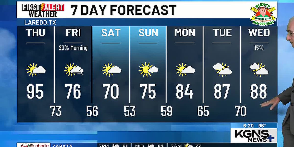 Tropical Air Thursday, Much Cooler Friday
Wednesday 7 Day Forecast LAREDO, Tex. (KGNS) - A wave in the upper level wind flow will move into the Great Plains during Thursday. Behind it is a flow from the north which will accelerate a cool airmass southward…
-
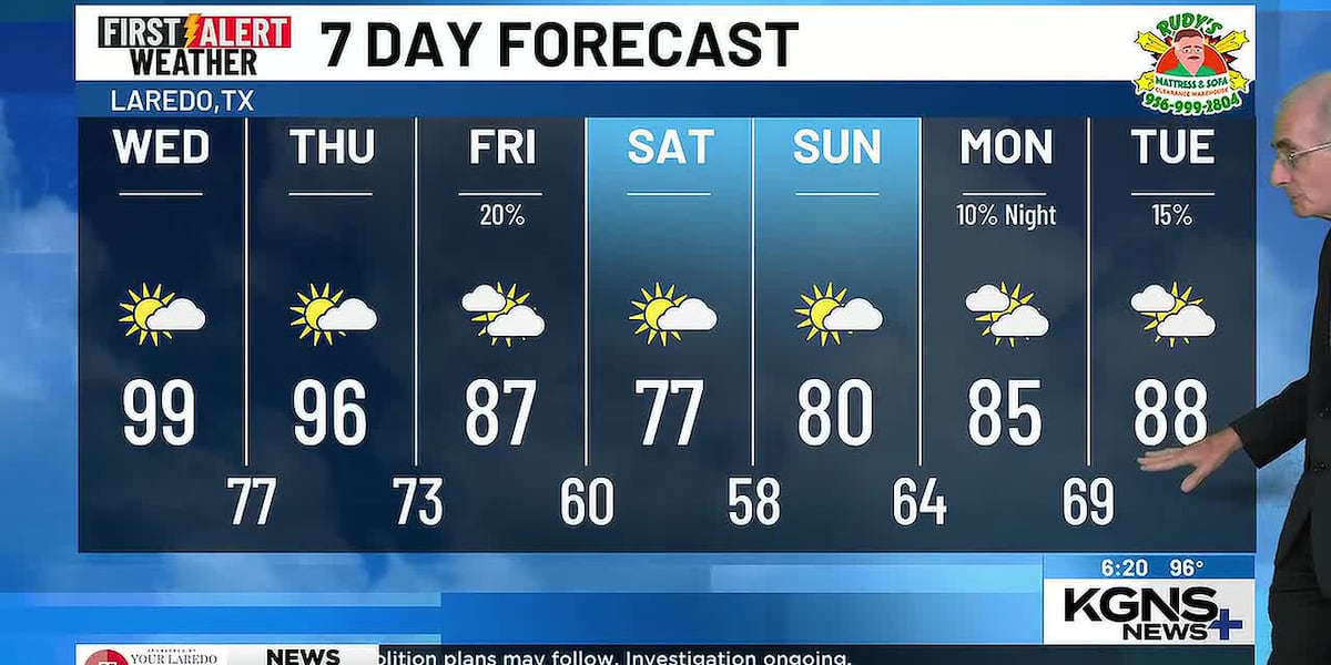 Hot Through Thursday, North Wind Arrives Friday
Tuesday 7 Day Forecast LAREDO, Tex. (KGNS) - A wave in the upper level wind flow over Utah will move across the Great Plains during Thursday. Through Thursday, we will be in a tropical airmass. Once the upper level wave…
-
 Above normal Temperatures/Cool weekend
LAREDO, Tex. (KGNS) - Hot, humid and mostly sunny; highs in the mid-to-upper 90s to 100. Windy day and night with south-southeasterly winds gusting 26-30 mph. Warm and humid night, with lows in the mid to upper 70s. A…
-
 New Mexico to get a short break from an unsettled weather pattern
New Mexico will get a break from an unsettled weather pattern for at least a couple of days before it could return again next weekend. New Mexico to get a short break from an unsettled weather pattern Chief…
-
 Vance no longer a hurricane but as a tropical storm still threatens Mexico's Pacific coast
MIAMI — A gradually weakening Tropical Storm Vance churned Sunday off Mexico's southwest Pacific coast but still threatened heavy rains and flash flooding in several western states of the country. Vance, a former…
-
 Vance no longer a hurricane but still threatens Mexico’s Pacific coast as a tropical storm
MIAMI — A gradually weakening Tropical Storm Vance churned Sunday off Mexico’s southwest Pacific coast but still threatened heavy rains and flash flooding in several western states of the country. Vance, a former…
Forecasts, observations and alerts in the United States come from the National Weather Service (NOAA); radar from NOAA's Multi-Radar Multi-Sensor system; satellite imagery from NASA's Global Imagery Browse Services (GIBS) and NOAA's GOES satellites; the map from the U.S. Geological Survey's National Map; air quality from AirNow (EPA and its partners); hurricane information from the National Hurricane Center; climate normals and records from NOAA's Regional Climate Centers (ACIS). Forecasts outside the United States and the UV index: MET Norway (CC BY 4.0); observations outside the U.S.: airport reports via NOAA's Aviation Weather Center. Place names: GeoNames (CC BY 4.0). Data are copied on a schedule and may lag the sources; for warnings that affect your safety, follow your local National Weather Service office and emergency officials. Weather news is drawn from the 4Conservative index and reflects what the press published. Terms of use. How to use Weather