Install
Amealco de Bonfil, Querétaro, Mexico Weather
Current conditions
Forecast for this hour (no station report in the last two hours)
Forecast
10-day-
Sunday
Light rain. High 16°. Precipitation 2.0 mm for the day.
-
Sunday Night
Rain. Low 8°. Precipitation 2.0 mm for the day.
-
Monday
Showers. High 19°. Precipitation 5.1 mm for the day.
MET Norway forecast updated 1 day ago.
Hourly
Hourly forecast- Now10°
- 10:0013°
- 11:0014°
- 12:0014°
- 13:0015°
- 14:0016°
- 15:0015°0.2
- 16:0014°0.2
- 17:0013°
- 18:0012°
- 19:0011°0.4
- 20:0011°0.4
- 21:0010°0.3
- 22:0010°0.2
- 23:009°
- Mon00:009°
- 01:009°
- 02:009°
- 03:009°
- 04:008°
- 05:008°
Daily forecast
DetailsRadar
Full mapWeather news in Mexico
More weather news-
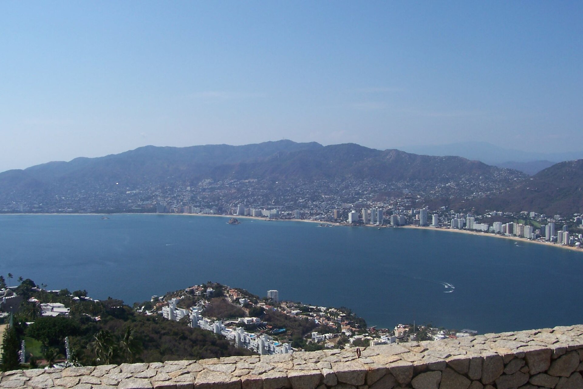 Category 2 Hurricane Vance Churns Off Mexico
Hurricane Vance, a Category 2 storm in the Pacific Ocean, was about 365 miles (590 km) south-southwest of Acapulco, Mexico, at 3 am Mexico time on Saturday 24 October 2026, the US National Hurricane Center said. No…
-
 Severe storms threaten central New Mexico through weekend
Central New Mexico can expect some intense, scattered thunderstorms starting Friday night and lasting throughout the weekend. Storms in the late afternoon and early evening Friday could become "strong to severe," with…
-
 Vance could be a major Category 3 hurricane Friday as it nears Mexico
Vance has become a hurricane off the coast of Mexico MIAMI — Vance became a hurricane Friday and the National Hurricane Center said it would strengthen rapidly as it nears Mexico’s Pacific Coast. Vance was a Category 1…
-
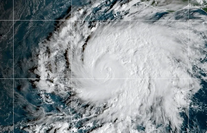 Vance Intensifies Rapidly and Could Become a Major Category 3 Hurricane Off Mexico’s Pacific Coast
MIAMI—Hurricane Vance rapidly strengthened into a Category 2 storm Friday as it neared Mexico’s Pacific Coast, the National Hurricane Center said. Vance had maximum sustained winds of 105 mph (170 kph) as it churned…
-
 With Hurricane Off Mexico Sharing Name With Vice President JD Vance, the Social Media Memes Fly
As Vice President JD Vance travels the U.S. supporting Republican candidates in next month’s election, another Vance is on a whirlwind tour off Mexico’s Pacific Coast. The storm named Vance that strengthened into a…
-
 Storms could bring big hail and flash floods to New Mexico overnight into Saturday
ALBUQUERQUE, N.M. – A severe thunderstorm watch covers most of New Mexico through 9 p.m. with wind gusts up to 70 mph, hail up to 3 inches and a flash flooding threat. Some storms around the state could bring heavy rain…
-
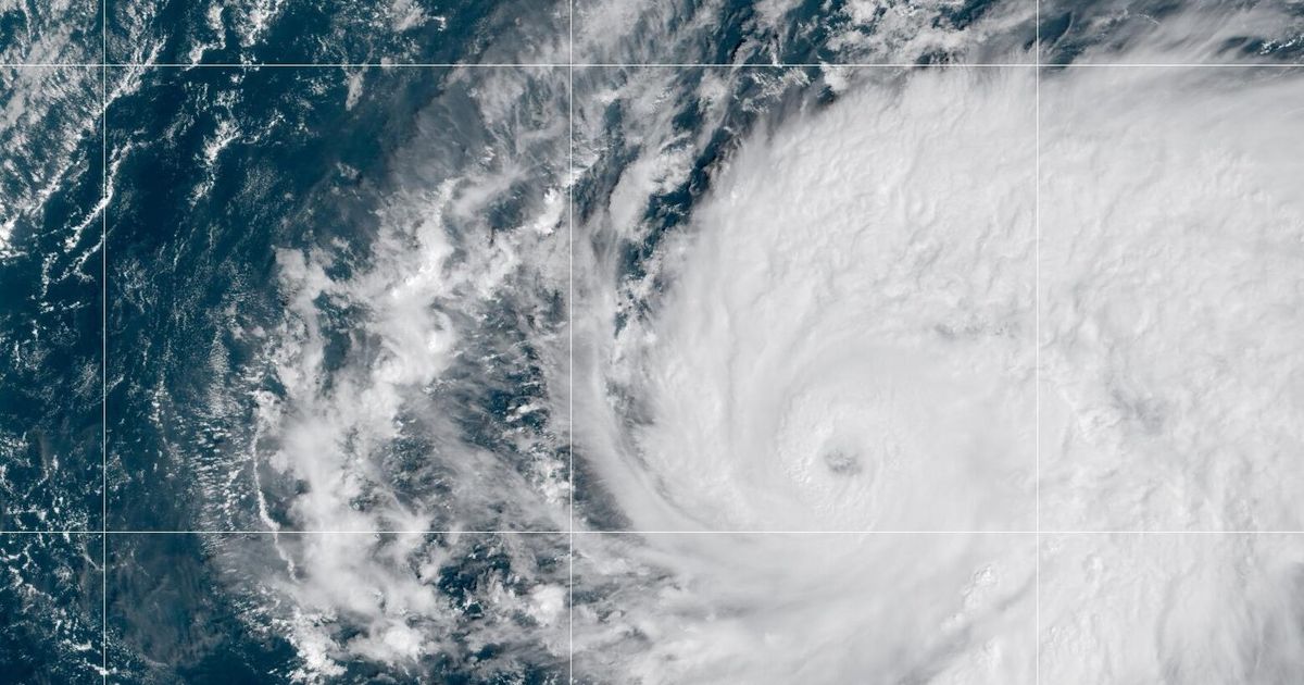 Hurricane Vance strengthens to a Category 2 storm as it nears Mexico’s Pacific Coast
THIS IS AN APNewsAlert. Check back for updates. AP’s earlier story is below. Vance became a hurricane Friday and the National Hurricane Center said it would strengthen rapidly as it nears Mexico’s Pacific Coast. Vance…
-
 Hurricane Vance: Mexico’s Pacific Coast Placed on High Alert as Storm Strengthens Into Category 2 Near Acapulco – Check Affected Areas, Weather Advisory & More
Hurricane Vance: It seems like sunny days are not on the cards yet for Mexico’s Pacific Coast yet. The touristy region was recently swept by Hurricane Simon earlier this month. And now, the National Hurricane Centre…
-
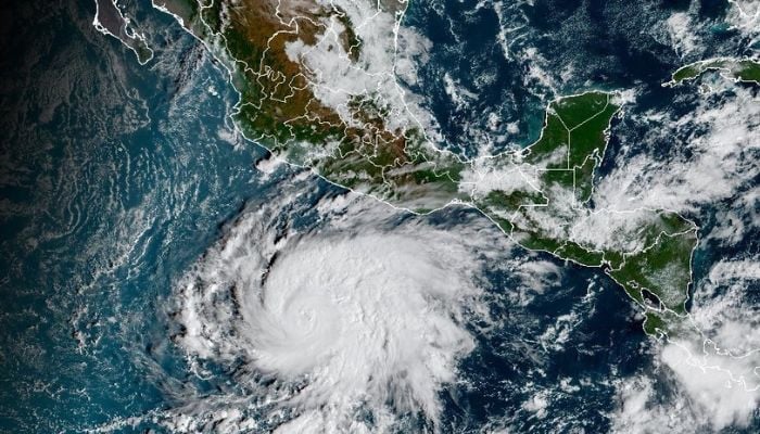 Tropical cyclone Vance to rapidly intensify into major hurricane as it nears Mexico
Published October 23, 2026 Hurricane Vance strengthened into a hurricane early Friday, October 23, and is forecast to rapidly intensify into a major Category 3 storm by Friday night as it approaches Mexico’s Pacific…
-
 Hurricane Vance expected to strengthen as it approaches Mexico
Vance became a hurricane Friday and the U.S. National Hurricane Center said it would strengthen rapidly as it nears Mexico’s Pacific Coast. MIAMI â Vance became a hurricane Friday and the U.S National Hurricane Center…
Sun & moon
Nearby
- Santiago de Querétaro 51 km
- San Juan del Río 27 km
- El Pueblito 50 km
- Maravatío de Ocampo 45 km
- Tequisquiapan 46 km
- Apaseo el Alto 58 km
- Atlacomulco de Fabela 51 km
- San José de los Olvera 50 km
- Venceremos 48 km
- San José el Alto 58 km
- Ezequiel Montes 59 km
- Temascalcingo 33 km
Forecasts, observations and alerts in the United States come from the National Weather Service (NOAA); radar from NOAA's Multi-Radar Multi-Sensor system; satellite imagery from NASA's Global Imagery Browse Services (GIBS) and NOAA's GOES satellites; the map from the U.S. Geological Survey's National Map; air quality from AirNow (EPA and its partners); hurricane information from the National Hurricane Center; climate normals and records from NOAA's Regional Climate Centers (ACIS). Forecasts outside the United States and the UV index: MET Norway (CC BY 4.0); observations outside the U.S.: airport reports via NOAA's Aviation Weather Center. Place names: GeoNames (CC BY 4.0). Data are copied on a schedule and may lag the sources; for warnings that affect your safety, follow your local National Weather Service office and emergency officials. Weather news is drawn from the 4Conservative index and reflects what the press published. Terms of use. How to use Weather